ref. 1562110Marvel Comics. Hardcover. VG/Very Good. used hardcover in a dust jacket. jacket is slightly worn about the edges but with no tears and not price clipped. pages and binding are clean straight and tight. there are no marks to the text or other serious flaws. Marvel Comics hardcover
1935heavy wear and soiling to separated d/j; softening to top and bottom of spine; age stain on FEP and BEP; text tight and bright Used
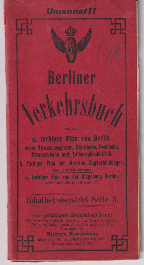
1900ref. 0904-21Bln. Rosalowsky [ca. 1900]. gr.-8°. 72 S., 2 Bll. Mit 3 farb. gefalt. Plänen u. zahlr. Inseraten. OBrosch. In gutem Zustand. [3 Warenabbildungen]
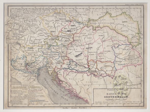
1845ref. 1286-12Gotha, Perthes [ca. 1845]. Grenzkolor. Kupferkarte. 17, 5 x 23 cm. (Bildausschn.). Unter Passep. Stellenw. braunfleckig, randrissig. - (Stieler's Schul-Atlas 32a)
ref. L2bisCatalogue 33x23 cm, 24 pages, illustrations couleurs, plans, schémas.
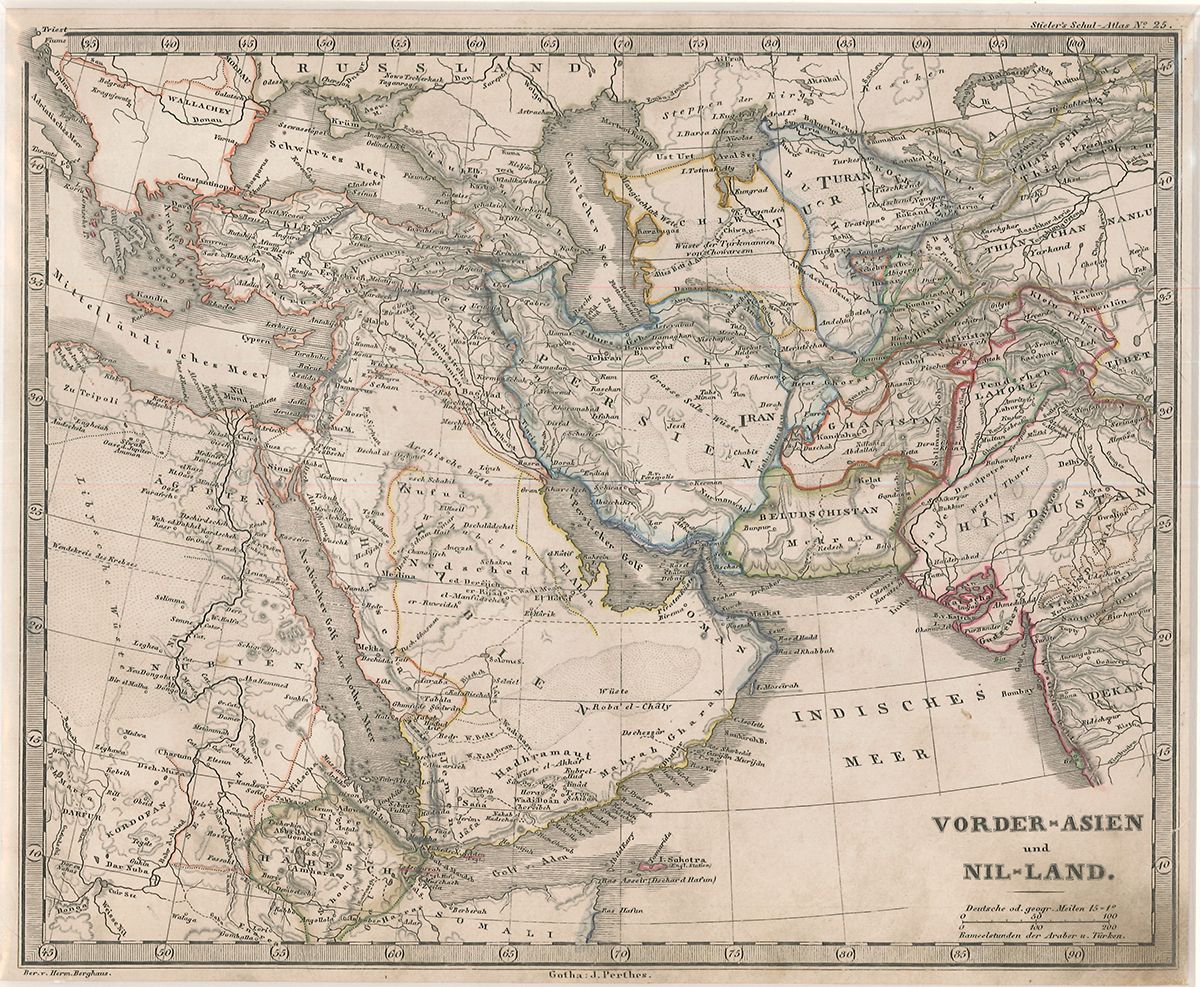
1845ref. 1288-12Gotha, Perthes [ca. 1845]. Grenzkolor. Kupferkarte. 20 x 24 cm. (Bildausschn.). Unter Passep. Stellenw. braunfleckig. - (Stieler's Schul-Atlas, Nr. 25)
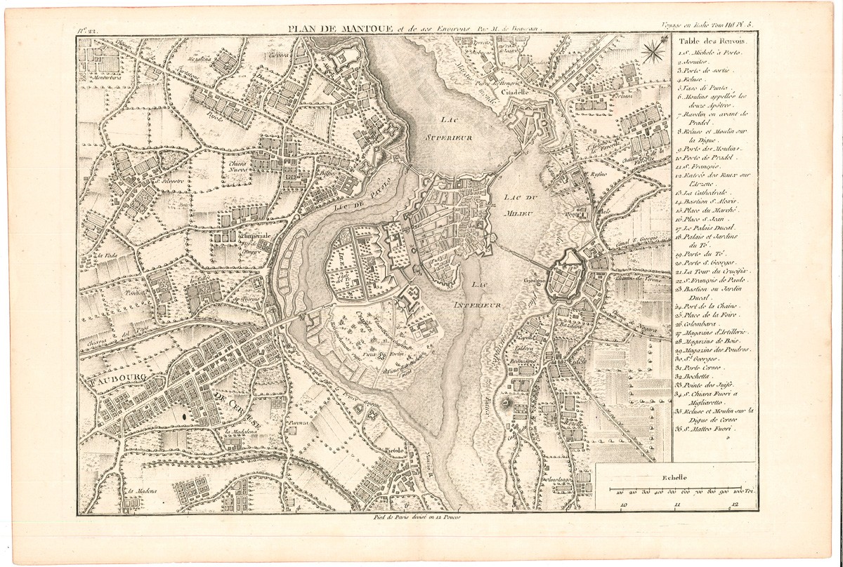
1769ref. 2623-21[Venedig/Paris, Desaint 1769]. Kupferstich. 27, 6 x 41 cm (Blattgr.) u. 25, 6 x 35, 5 cm (Plattengr.). Mit dezenter vertikaler Faltspur, Ränder mit Rotschnittspuren.
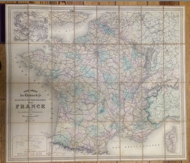
1886ref. 7472BBParis, 1886. 95,5 x 83 cm Stahlstichkarte. Orig.-Leinen mit Deckeltitelvergoldung., karte Einbandrücken etwas berieben.
1981ref. WOC-1788Textes de René Hug. Histoire de l'aéroport de Genève-Cointrin par l'image. Genève, Serge Kaplun, édition du Tricorne, 1981. In-4 (29x22,5cm) cartonnage éditeur imprimé en blanc et illustré sur les plats. 197pp.
1995Heimdal "Album historique", 1995. In-4 cartonné, 479 pages, illustrations en noir et blanc. Envoi de l'auteur sur la page de garde. Accroc minime sans manque à la coiffe inférieure, sinon excellent état.
2009ref. 1112792009 Editions Soleil Productions - 2009 - In-4, cartonnage illustré en couleurs - 46 planches illustrées en couleurs
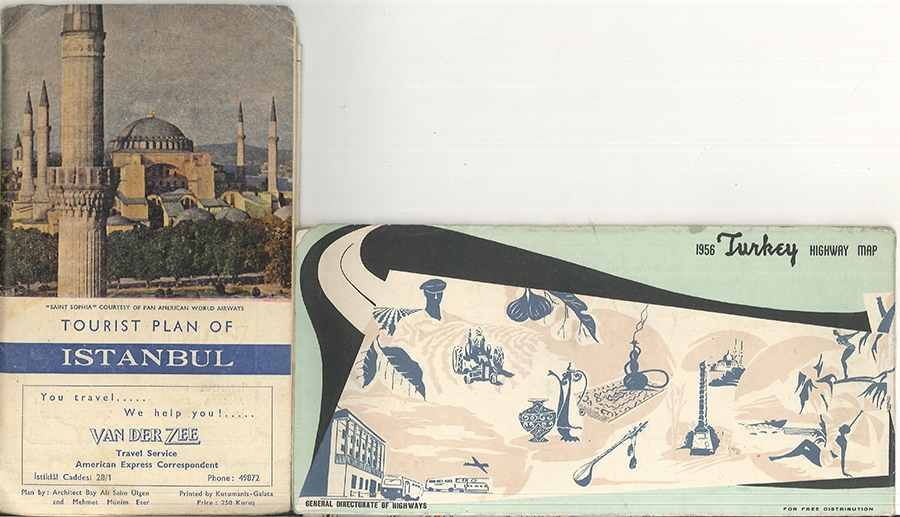
1950ref. 1814-24Galata, Kutumanis [ca. 1950]. 50 x 68 cm. farb. Plan. Rückseite: Text. OBrosch, Mit farb. Einbandillustr.
ref. 66534aafBern, Chancellerie fédérale, 1945, pt. in-8vo, 24 p. + 1 dépl. + 14 planches plusieurs fois pliées avec diff. types d’avions, reliure orig. demi-toile.
ref. 103304aafSchück-Verlag Adliswil, 1998, in-8vo, 207 S. farbig illustriert, ill. Original-Pappband.
ref. 106335Leipzig, Baumgärtner's Buchhandlung, o. J. o. S. 4° Quart, Halbleinen
ref. 0366879782.Ghardcover. Good. Access codes and supplements are not guaranteed with used items. May be an ex-library book. hardcover
ref. A9780812245042Hardback. New. In this volume scholars from three continents trace the role of dreams in the cultural transitions of the early modern Atlantic world illustrating how both indigenous and European methods of understanding dream phenomena became central to contests over religious and political power. hardcover
1977ref. 005028Werner & Werner Corp. 1977. Soft Cover. Fine. Size: 4to - over 9¾" - 12" tall Werner & Werner Corp. paperback
ref. 1391084012.Ghardcover. Good. Access codes and supplements are not guaranteed with used items. May be an ex-library book. hardcover
ref. 264884like new. unknown
(ca. 91 x 88 cm). 1 map (English Language). Original map, folded, with title to front cover. Low signs of use, a bit browning at the back. Appropriate to its age in good condition. Die vorliegende Karte beinhaltet den geographischen Stand bis 1945. Sie zeigt Europa, Asien, Afrika und den Großteil Ozeaniens. Sie trägt oben den Hinweis: "For use by War and Navy Department Agencies only". / The military map shows Europe, Asia, Africa and wide parts of Australia. The map contains the geographic status up to 1945 and contains the note "For use by War and Navy Department Agencies only".
Gefaltete Karte: (ca. 20 x 13 cm). 1 Karte. Original-Karte, mehrfarbig, mit Deckeltitel. Leichte Gebrauchsspuren. Privater Namenseintrag am Kartenrand, sonst wohlerhalten. Insgesamt guter bis sehr guter Zustand. Die detaillierte und farbige Karte hat ausgefaltet ein Gesamtmaß von ca. 89,2 x 64,8 cm. Seltene Spezialkarte!
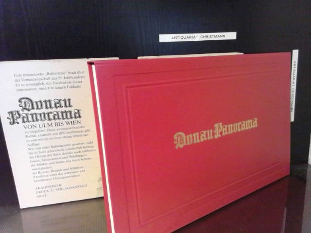
1988ref. 24355Graz, Austria : Akademische Druck- u. Verlagsanstalt 1988. [1] Bl. :34-fach gefalt. Panoramakarte aus fünf Teilen mit 172 Randansichten (ca. 800 x 35 cm). ; 38 cm + Kommentar (32 S.) gebundene Ausgabe, Leinen, im Schuber, Exemplar in gutem Erhaltungszustand
Gefaltete Karte: (ca. 22,6 x 15,2 cm). 1 Karte. Original-Karte, mehrfarbig, mit Beschriftung im oberen Bereich. Leichte Gebrauchsspuren. Insgesamt guter bis sehr guter Zustand. Die detaillierte und farbige Karte hat ausgefaltet ein Gesamtmaß von ca. 110,5 x 83 cm. Sehr seltene Karte, erschienen als Beilage zum gleichnamigen Beitrag des genannten Autors.
1945ref. 1200661945 Paris et Liège, Librairie Polytechnique Ch. Béranger - 1950 - In-8, demi basane verte à coins; 4 nerfs, dos muet - 502 pages - Avec 561 figures in texte et XX planches en N&B hors texte