2 685 résultats
1949réf. 1203831949 Edité par l'Union Syndicale des Industries Aéronautiques - 1949 - Fort in-folio, demi percaline vert olive (38,5 x 29 cm) - 551 pages - Nombreuses illustrations en N&B in et hors texte dont certaines dépliantes
réf. 19302581-nnew. unknown
1914Very Good Turkish, Ottoman (1500-1928) Original red wrappers. Foolscap 8vo. (18 x 12 cm). In Ottoman script. 64 p., b/w ills. AH 1330 = AD 1914. This is the only first volume of two. First and Only Edition of this book on the plane geometry in the Imperial Ottoman. Mustafa Salim was a teacher and an engineer having grown up during the Ottoman period and his work called "Hesâb-i Asgar-i Nâmütenâhiyat" as well was the first work on 'differential calculus.' He gave lectures on differential and integral calculations, high algebra, technical mechanic, and mathematical mechanic at Hendese-i Mülkiye-i Sâhâne, Darul Funun (House of Sciences), and Darüssafaka, which were outstanding schools of the time. This work is one of the earliest plane geometry. This work includes the applications of the geometry lesson taught in the first year of the Idadîye schools which was written with Darüssafaka and Engineering School Teacher Hasan Fehmi Çayköy. First Edition. Özege 7291.; Only two copies in OCLC: 949534124 (Bogaziçi University Library, Istanbul) and 850849216 (ITU Library, Istanbul).
2013réf. DADAX0812245040University of Pennsylvania Press 2013-04-26. hardcover. New. 6.25x1.00x9.25. Buy with confidence. Excellent Customer Service & Return policy. University of Pennsylvania Press hardcover
1791réf. 5567-01Paris (1791). Grenzkolor. Orig.-Kupferkarte gest. v. E. Duss. 24 x 28,5 cm. Unter Passepartout. Untere Ecken braunfleckig. Zeigt das Gebiet v. Golf v. Venedig im Süden bis Bayreuth im Norden.
1850réf. BIBG0021Bln., Mittler 1850. VII, 247 S., HLn. m. gldgepr. Rückentit., Kanten leicht bvestoß., Bibl.-Stemp. u. hs. Vermerk am Innentit., schwach stockfl.
2013réf. x-0812245040Univ of Pennsylvania Pr 2013. Hardcover. New. 328 pages. 9.25x6.42x1.14 inches. Univ of Pennsylvania Pr hardcover
1964réf. 725115PN. New. 1964. Soft Cover. Date is original print. This is a reprint edition. . PN paperback
réf. AERO484Catalogue 22x28 cm., 20 pages, 13 photos, 5 dessins trois-vues, broché. Imprimerie Poyet Frères, Paris.
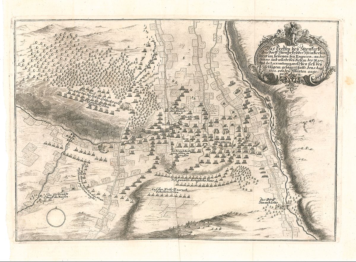
réf. 1970-03o.J. Orig.-Kupferstich. 24 x 33 cm (Bildauschnitt). Bugfalte.
réf. AERO513Ensemble de 8 brochures, notices, catalogues.
réf. CAA98Catalogue 30x23 cm., 28 pages, nombreuses phtos, écorché, tableau de bord, plan trois-vues, aménagement.
1800réf. 39295ABUm 1800. 16 x 21.3 cm
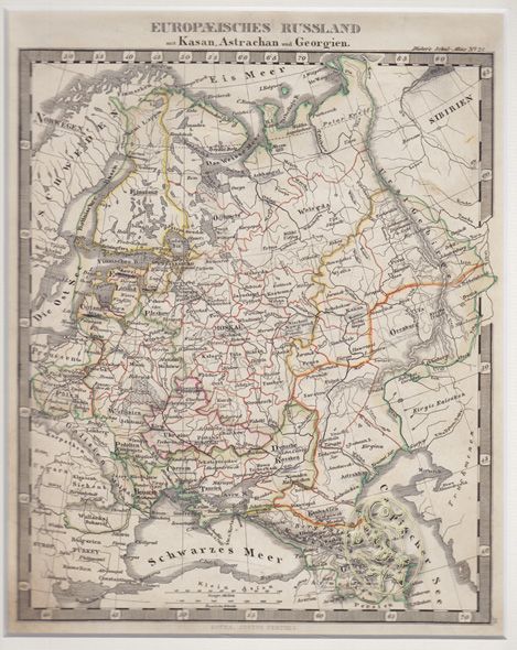
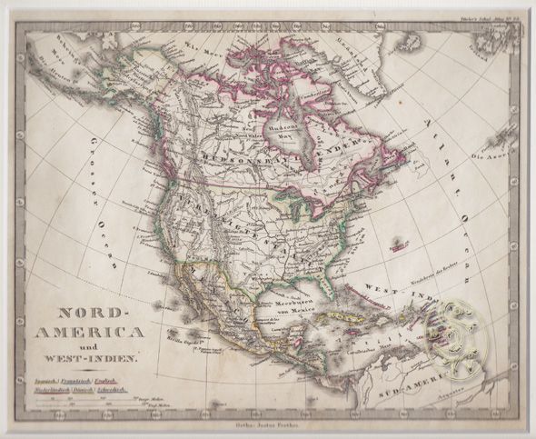
1845réf. 1303-12Gotha, Perthes [ca. 1845]. Grenzkolor. Kupferkarte. 23 x 18, 5 cm. (Bildausschn.). Unter Passep. - (Stieler's Schul-Atlas, Nr. 21)
1862réf. 1207-18Wien, Böhm 1862. 57 x 73 cm. Mit Einrissen an den Faltstellen. - (Beilage zu Winkler's Orientirungs-Schema der Reichshaupt- und Residenzstadt Wien) [2 Warenabbildungen]
1862réf. 1208-18Wien, Böhm 1862. 57 x 73 cm. Mit Einrissen an den Kanten. - (Beilage zu Winkler's Orientirungs-Schema der Reichshaupt- und Residenzstadt Wien) [2 Warenabbildungen]
1845réf. 1282-12Gotha, Perthes [ca. 1845]. Grenzkolor. Kupferkarte. 19 x 23, 5 cm. (Bildausschn.). Unter Passep. - (Stieler's Schul-Atlas, Nr. 28)
1700réf. 2020-03(ca. 1700). Kupferkarte. 24 x 34 cm (Bildausschnitt).
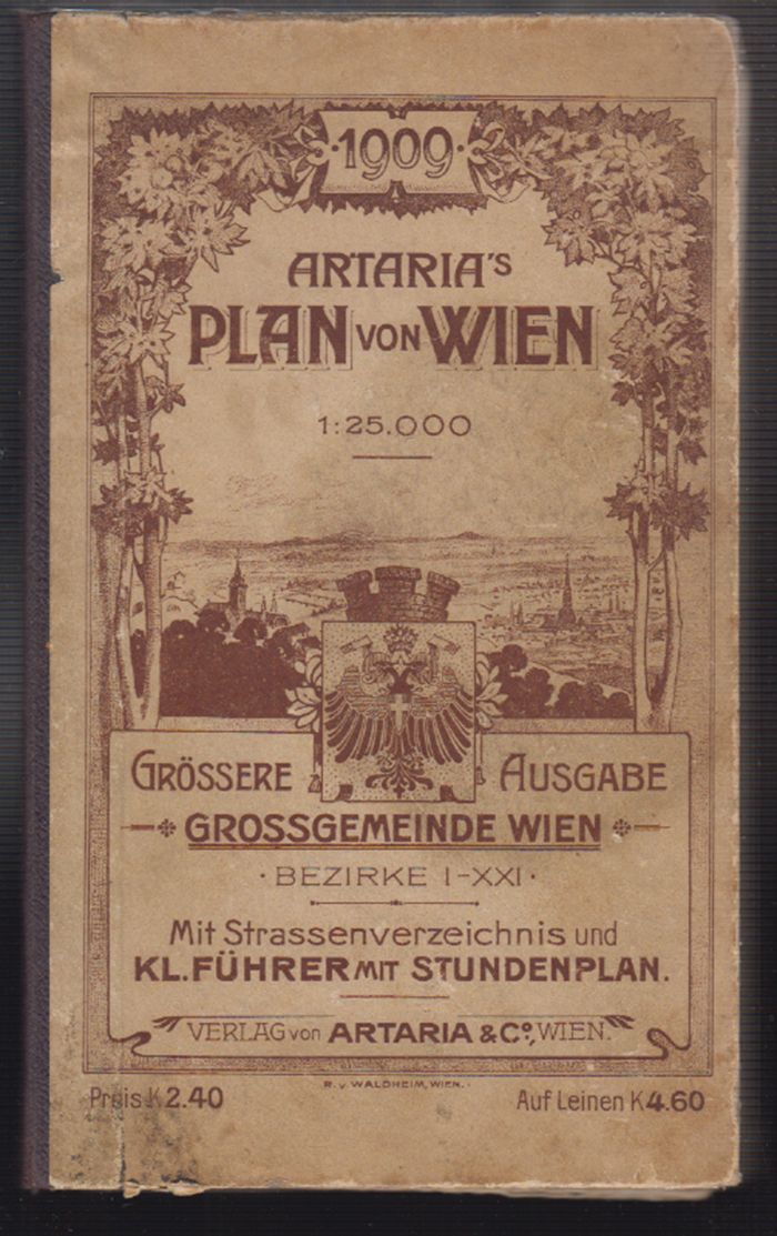
1909réf. 1286-19Wien, Artaria & Co. 1909. 8°. 25 (1), 29 S.,gefalt. farblith. Plan 74 x 108 cm. (Maßstab 1:25.000). in OHLn. einige wenige Einrisse in den Faltstellen. [2 Warenabbildungen]
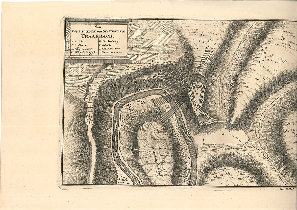
1764réf. 2470-14Den Haag, Nicolas Bellin [1764]. Orig.-Kupferkarte. 24 x 17,5 cm. (Pattengr.).
1667réf. 39221AB[Frankfurt, Merian 1667]. 32 x 39 cm. 32 x 39 cm. Auf Trägerkarton montiert. Leicht gebräunt, wenig knittrig. Am Fuß eng beschnitten.
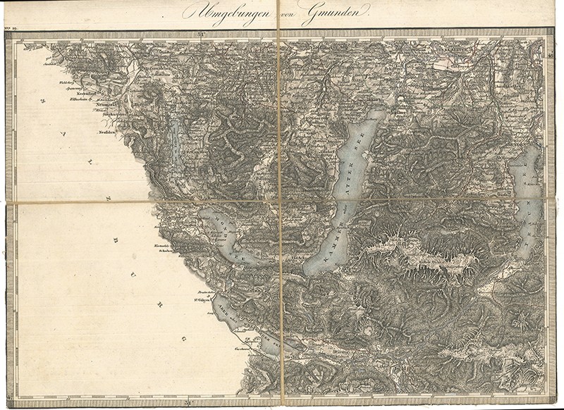
1840réf. 0225-22[Wien, Mililtärgeographisches Institut/General-Quartiermeister-Stab, um 1840]. 29, 2 x 39, 4 cm (Gesamtgr.). In 4 Segmente unterteilte und auf Leinen aufkaschierte, teilkol. Kupferstichkarte. An den Rändern lecht angestaubt, sonst gut erhalten. Leinen verso mit altem Stempel. [2 Warenabbildungen]
1840réf. 0076-18Wien, Militärgeogr. Inst. [ca. 1840]. Orig.-Kupferkarte. 36 x 48 cm. (Blattgr.); 27 x 39 cm. (Kartengr.). Stockfleckig.
1861réf. 41589DBo. O. [Wien?], -, o. J. [um 1861]. ca. 44 x 88 cm. Je 10 Segmente auf Leinen aufgezogen., Abbildung 8 Karten.
1769réf. 2621-21[Venedig/Paris, Desaint 1769]. Kupferstich. 27, 5 x 41cm (Blattgr.) u. 27 x 39, 5 cm (Plattengr.). Mit dezenter vertikaler Faltspur, Ränder mit Rotschnittspuren.