Various ContributorsMareMagnum

2 676 résultats
194228 pages. Features: Wonderful colour ad inside front cover features a 1939 Daimler Straight Eight Touring Limousine; Title page photos of tanks returning to England from the failed Dieppe raid; The Commando Raid on Dieppe - aerial photos and a chart of the town; Twelve photos during and after the Dieppe raid; Four sketches of Dieppe action by artist Captain Bryan De Grineau; A Review of Many Events of the War - article by Cyril Falls; Photo portraits of new commanders for our armies in the Middle East - The Hon. Sir Harold Alexander, Major-General Herbert Lumsden and Lieut.-General B.L. Montgomery (Monty); Egypt's contribution to our way of life, by Sir John Squire; Excellent full-page photo portrait of the late Air Commodore H.R.H. The Duke of Kent with the Duchess; Interesting photos at home and abroad; Fifteen photos of personalities and events of the week; Centerfold illustration by Captain Bryan De Grineau depicts zero hour off Dieppe - the combined services launching their attack at the appointed time and place; Excellent two-page illustrations present structural details of the Focke-Wulf "F.W. 190" Fighter Plane; Photos of war activities on three fronts - Pacific, Mediterranean and Channel; Five photos of British 4.5 Heavy Guns in action on the El Alamein Battlefield; Brazil declares war on Germany and Italy - Six photos; The Prime minister visits the Eighth Army at El Alamein - 6 photos; Mr. Churchill visits Egypt and Moscow - six photos including shots of Churchill with Molotov and Stalin; Four large dramatic photos of Naval action in the Great Convoy Fight off Malta; Series of illustrations depict how the tanker "Ohio" delivered fuel to Malta; Great back cover colour ad for Dewar's "White Label" Scotch Whiskey shows a crate of whisky being wheeled past a smiling traffic officer. Somewhat above-average wear to covers. Unmarked. A worthy copy. Book
194332 pages. Features: Cover photo of the Victory Parade of the 51st Highland Division march along the palm-lined avenue Gambetta in Tunis; Eleven impressive photos of the Allied victory procession through the streets of Tunis; Contour map of Sardinia showing airfields and seaplaine bases; Photo of the people of Malta celebrating the Tunisian victory - with Il Duce in effigy; Eight photos of large quantities of enemy vehicles and supplies captured in North Africa; Washington Conference Ended - article by Cyril Falls; The King and Queen Meet the Allied Airmen - Dambusters - who breached the dams in Germany - six photos including shots of the King with Fl.-Lieut. J.C. McCarthy, L.G. Knight, Wing Commander Gibson, Flight-Lieut. H.B. Martin, and D.J.H. Maltby; Four large illustrations of Joint US/British Army Exercises in Southern England; Nice centerfold photo from a plane protecting an allied Atlantic convoy; Liberator versus U-Boat - Coastal Command's reply to the Sea Wolves - Eleven photos; Four dramatic photos of two U-Boats being killed by Coastal Command; Two Grainy photos of U.S. Forces on Attu Island - "the Japs are now utterly destroyed"; Photos of six French vessels at Alexandrea now joining the Allies; Two great photos of America's latest travelling gun - the 6-inch M-12 is capable of sinking a heavy cruiser at 10 miles - shown crashing its way through woodlands and being sighted; Nice colour ad for B.S.A. products on back cover; and more. Unmarked. Average wear. A sound copy. Book
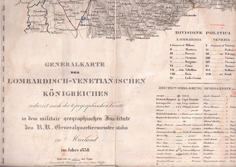
1838réf. 1182-21Mailand, Militärgeograph. Inst. 1838. Kolor. Kupferkarte in 40 Segmenten auf 4 gefalt. Kartenbll. (je ca. 47, 5 x 76, 5 cm) auf Leinen gezogen. Zus. 90 x 149 cm. in HLdr.-Schuber d. Zt.. m. Rückengoldpräg. 1 Karte im Bereich d. Kartusche wasserrandig. [6 Warenabbildungen]
réf. ARR004a1Série discontinue de 103 numéros du N°13 (Novembre 1937) au N°189(Décembre 1954)
1750réf. 32014ABUm 1750. 48 x 57 cm. Breitrandig unter Glas mit profilierter Holzleiste (58 x 64.5 cm). Leiste mit kl. Beschädigungen.
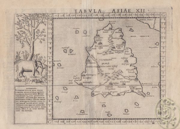
1580réf. 1709-12[ca. 1580]. Orig.-Kupferstich. 22 x 30 cm. (Blattgr.); 19 x 26 cm. (Bildausschn.). Kl. Randeinriß.
réf. 890655 textes reliés en 1 seul volume, demi-basane, reliure en mauvais état mais structure solide, des rousseurs sur les pages. Carillian-Goeury et Vor Dalmont, 1845, 118 p., 1 planche dépliante / Bachelier, 1852, 103 p., / Mallet-Bachelier, 1858, 104 p., 1 planche dépliante / Carilian-Goeury et Vor Dalmont, 1846, 72 p., 3 planches dépliantes / Carillian-Goeury et Vor Dalmont, 1850, 46 p., 3 planches dépliantes.
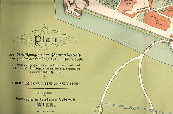
1880réf. 2140-18Wien, Reifenstein/Gemeinderath 1880. Orig.-Frablithogr. Plan. 84 x 103 cm. gefalt. Einrisse in den Bugfalten. [2 Warenabbildungen]
réf. P69London, Sampson Low, Marston & CO, 1909. Reprinted by Jane's Publishing Company, 1986.
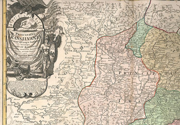
1730réf. 1291-17Nürnberg, Ioh. Baptist Homanni [ca. 1730]. Altkolorierter Kupferkarte 54 x 63 cm. (Blattgr.); 47 x 56 cm. (Kartengr.). Im weißen Rand tlw. stockfleckig u. randrissig. [2 Warenabbildungen]
1918réf. 1075-20München., Kriegskarten-Vlg. 1914-1918. Tle. 1-6 (v. 8) in 6 Bdn. 2°. 200 gefalt. farb. Karten in diesem Zeitraum. OLn.-Bde. Mit Gold- u. Scharzpräg. 1. Tl.: geplatze Rückenkante (ca. 8 cm.). 5. Tl.: Einbd. gebleicht. Karten ab Nr. 61 lose. Doublette von Karte 180.
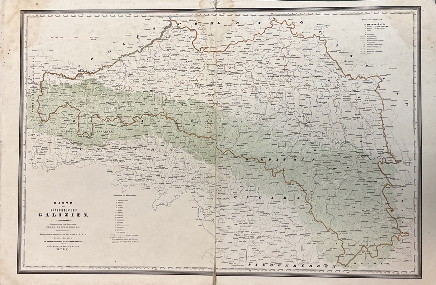
1842réf. 1093-23Wien, J. Bermann und Sohn [1842]. Farb-Typographsiche Karte in 2 Segmenten auf Leinen aufkaschiert. 49,5 x 74, 5 cm (Gesamtgr.). Mit mittiger Faltspur. Ränder und Ecken teils stockfleckig und mit kl. Läsuren. Kartenbl. teils etwas voM Leinen gelöst.
1832réf. 1278-23Weimar, Verlag des Geographischen Instituts (1832/33). Altkolorierte Kupferstichkarte. 57,4 x 69, 2 cm (Blattgr.); 51,5 x 61, 4 cm (Plattengr.) Mehrmals gefaltet. Teils minimale Randläsuren, sonst gut erhalten.
1914Fine Turkish, Ottoman (1500-1928) In contemporary dark green cloth bdg. Two volumes in one. Foolscap 8vo. (18 x 12 cm). In Ottoman script. 2 volumes set: (64 p.; 64 p.), b/w ills. AH 1330-1331 = AD 1914-1915. First and Only Edition of this book on the plane geometry in the Imperial Ottoman. Set is very scarce. Mustafa Salim was a teacher and an engineer having grown up during the Ottoman period and his work called "Hesâb-i Asgar-i Nâmütenâhiyat" as well which was the first work on 'the differential calculus'. He gave lectures on differential and integral calculations, high algebra, technical mechanic, and mathematical mechanic at Hendese-i Mülkiye-i Sâhâne, Darul Funun (House of Sciences), and Darüssafaka, which were outstanding schools of the time. This work is one of the earliest plane geometry. This work includes the applications of the geometry lesson taught in the first year of the Idadîye schools which was written with Darüssafaka and Engineering School Teacher Hasan Fehmi Çayköy. First Edition. Özege 7291.; Only two copies in OCLC: 949534124 (Bogaziçi University Library, Istanbul) and 850849216 (ITU Library, Istanbul).
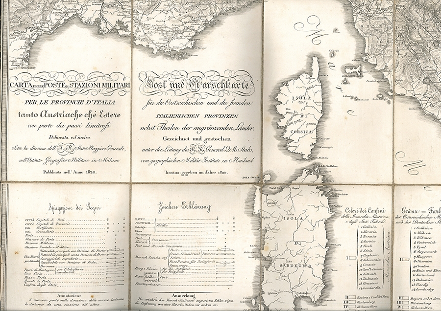
1820réf. 0161-23Mailand, Instituto Geografico Militare/Geographisches Militär Institut 1820. Gefaltete Kupferstichkarte in 24 Segmenten auf Leinen kaschiert. 72, 5 x 74, 8 cm. (Gesamtgr.), je Segment ca. 18 x 12, 5 cm. Gefaltet im zeitgen. Schuber mit Wurzelmarmorpapierbezug. In der oberen rechten Ecke und unteren Kante minimal fleckig, an den Segmentkanten leicht gebräunt. [2 Warenabbildungen]
1700réf. 42271ABAmsterdam, P. Schenk und G. Valck [um 1700]. Qu.-2° (39 x 50.5 cm). Breitrandig, Falz leicht knittrig. Die sonst leere Wappenkartusche mit Text von alter Hand 'Die Alte=Marck', eine kl. Notiz im Kartenbild und o.re. im äußeren weißen Rand numeriert (jeweils schwarze Feder).
réf. 84910aaf3 Broschüren und 1 Mappe mit maschinengeschriebenen Berichten oder Studien mit zahlreichen gezeichneten Karten und Diagrammen: 30 Bl. / 5 Bl. / 4 Bl. / 26 Bl., zw. den Seiten: 3 Briefe oder Durchschläge von Briefen mit Beilagen, guter Zustand.
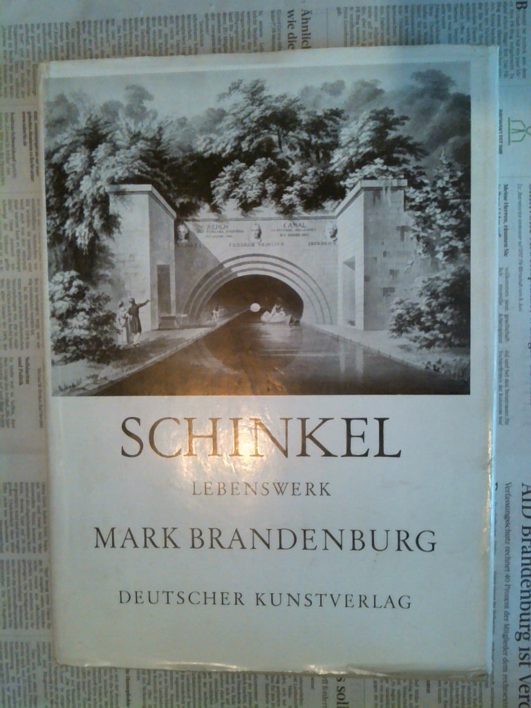
1960réf. 95409Berlin, Deutscher Kunstverlag, 1960. 307 S. 4° Quart, Leinen
1720réf. 0146-18[Nürnberg, Homann 1720]. Orig.-Kupferkarte, altkoloriert. 54 x 62 cm. (Blattgr.); 48 x 59 cm. (Kartengr.). Kleine Eckabrisse an den oberen Ecken im weißen Rand.
1859réf. 0661-23Weimar, Geograph. 1859. Grenzkolor. Karte in Stahl gest. v. C. Jungmann. 68, 5 x 55 cm. Gefalt. Kl. Einriß im Falz. In sehr gutem Zustand.
1834réf. 0653-06Paris, Lebigre Frères 1834. 8me. éd., revue et corrigée. Gest. Titel, Drucktitel, 2 Bll., 694 S. Mit 7 (dav. 6 gefalt.) Karten u. 6 teils handkolor. numismat. Taf. Ldr. d. Zt. m. goldgepr. Rü. u. -Schildchen. Kap. etw. berieb.
1832réf. 1227-23Weimar, Verlag des Geographischen Instituts (1832/33). Altkolorierte Kupferstichkarte. 57,4 x 69, 2 cm (Blattgr.); 51,5 x 61, 4 cm (Plattengr.) Mit mittiger Faltspur. Teils minimale Randläsuren, mit 2 kl. Löchlein, davon 1 in der Darstellung.
réf. DADAX0894262254Brand: Scientific Press Inc 0000-00-00. hardcover. New. 8.00x1.25x9.50. Buy with confidence. Excellent Customer Service & Return policy. Brand: Scientific Press Inc hardcover