2 654 résultats
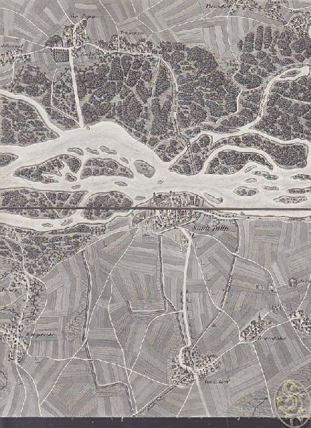
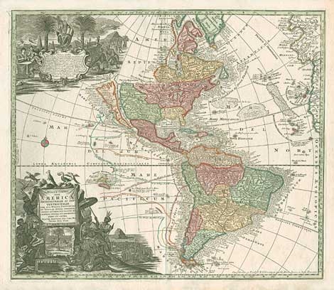
1788réf. 0962-02Wien, F. A. Schraembl 1788. Kupferkarte. 52 x 61,5 cm (Plattengr.) Schönes, breitrand. Expl. mit altem Grenzkolorit
1823réf. 12256AB[Wien, -, 1823.]. 24 Karten in je vier Segmenten, auf Leinen aufgezogen. Lose Blattsammlung im OSchuber der Zeit (Ld.)., Abbildung
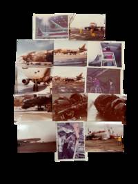
1978réf. 233051978. Continental Airlines Flight 603 disaster photographs documenting the burned wreckage and structural damage of the DC 10 runway overrun at Los Angeles International Airport on March 1 1978 one of the most consequential American aviation accidents of the late 1970s and a major catalyst for changes in tire safety standards rejected takeoff procedures and aircraft evacuation systems. Flight 603 a Continental Airlines DC 10 10 scheduled from Los Angeles to Honolulu attempted to abort takeoff after multiple tire failures near decision speed on a wet runway; the aircraft overran runway 6R at LAX the left main landing gear collapsed beyond the pavement fuel tanks ruptured and a major fire engulfed the underside and left side of the aircraft during evacuation. The NTSB recorded 2 deaths and 28 serious injuries in its formal report while later accounts place the eventual death toll at 4 after additional passengers later died from injuries sustained in the crash. Photo archive of 14 color snapshot photographs each approximately 3.5" x 4.5" Los Angeles International Airport California March 1978. The photographs show Continental Airlines McDonnell Douglas DC 10 10 N68045 after the accident resting heavily fire damaged on the runway and adjacent overrun area. Multiple images focus closely on the burned underside of the fuselage where large sections of aluminum skin have been completely burned away exposing the aircraft's internal rib structure wiring insulation and lower cabin framework. Other views show extensive scorching along the left side of the aircraft blackened and partially melted fuselage panels around the wing root and landing gear area collapsed structural sections beneath the passenger cabin and debris scattered across the wet runway surface. Several photographs widen outward to show emergency and recovery operations surrounding the aircraft including personnel service vehicles cranes and towing equipment positioned around the destroyed DC 10. One image records the full profile of the aircraft from a distance emphasizing the scale of the burn damage extending across much of the fuselage exterior. Together the photographs document not merely the existence of the accident but the specific physical consequences of the runway overrun and post crash fire: ruptured lower fuselage sections exposed aircraft structure burned cabin undersides and the recovery environment at LAX immediately after the disaster. Flight 603 became an important case study in late twentieth century aviation safety because the accident linked tire failure runway conditions aircraft stopping performance and evacuation survivability within the emerging era of mass deregulated air travel. The NTSB investigation led to recommendations intended to "significantly reduce the incidence of tire failures during takeoffs and rejected takeoffs" while later FAA and industry reforms addressed tire testing standards takeoff performance calculations and the durability and fire resistance of emergency evacuation slides. These photographs preserve the material evidence behind those institutional and engineering changes documenting the burned airframe and structural destruction that transformed Flight 603 into a major reference point in modern commercial aviation safety history. Minor wear from handling. Overall very good condition. unknown
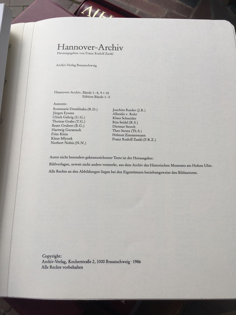
1978réf. HAN3047Braunschweig, Archiv-Verlag, 1978. 1986. - Als Loseblattlieferungen in 15 Ordnern in Schubern. Faksimiles von histor. Aufnahmen, Landkarten, Stadtplänen, Gebäuden etc., Kunstlederordner, von denen einige aufgrund der enthaltenen Weichmacher etwas kleben. Ansonsten guter Zustand. - Porto bitte erfragen. fest gebunden/ hardcover
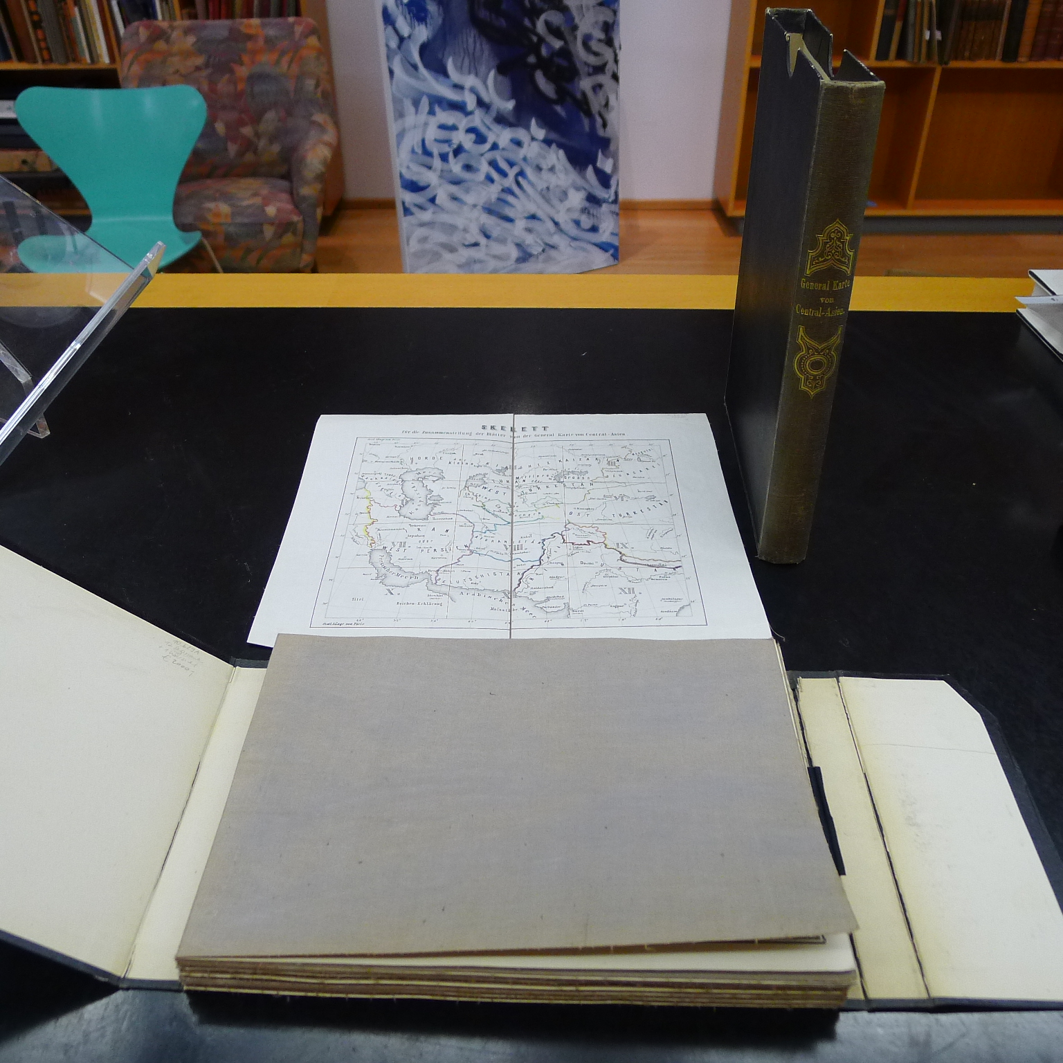
1868réf. 1479-22[Wien], k. k. militär-geogr. Institut 1868. 12 gefalt. auf Leinen aufgezogene Kartensegmente (inkl. Skelett). Titel mit Kartusche: je 40 x 55 cm. Zus. ca. 150 x 190 cm. in HLn-Schuber d. Zeit. Kanten berieb. Bilbliotheksetiketten verso.
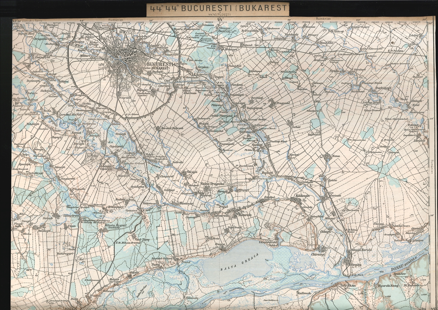
1914réf. 1856-24(Wien), k. k. Militärgeograph. Inst. (1914 f.). 52 farblithogr. Karten. Jew. ca. 60 x 40 cm. Im Maßstab 1:200.000. Ein- bis zweifach gefalt. In gutem Zustand. [5 Warenabbildungen]
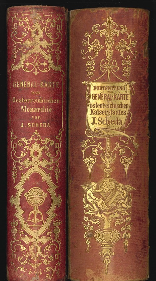
1871réf. 2847-21Wien, k. k. Militär. Geograph. Institut 1856-1871. 47 lithographierte tlw. kolor. Karten (jew. 49 x 56 cm.) u. 1 Übersichtsblatt auf Leinen gezogen. in 2 uniformen OHLdr.-Schubern. m. Rückengoldpräg. Rückentit. v. Bd. 2: "Fortsetzung der Generalkarte?". Rü. v. Bd. 2 berieb. Die Karten sauber, einwandfrei. [8 Warenabbildungen]
1910réf. 17612Paris, Librairie Aéronautique, 1910 (imprimerie Paul Dupont) ; 127 pp.
1837réf. 1071-13[Wien, um 1837]. 15 einzelne gefalt. Kartenbll. mit jew. 4 Segmenten auf Leinen gezogen. Jew. 29 x 44 cm. In HLn.-Schuber d. Zt. m. Rückengoldpräg. In sehr gutem Zustand.
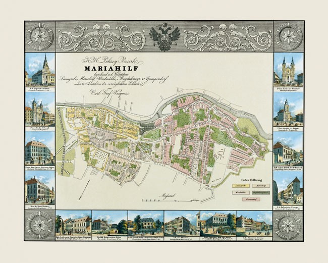
1827réf. 2501-04Wien, nach 1827. Altkolor. Orig.-Lithogr. aus: Pläne und Ansichten der k.k. Haupt- und Residenz Stadt Wien. gr.-fol. Kolor., lithographische Taf., mit einem Bezirksplan und 14 Einzelansichten als Umrahmung. Bildausschnitt ca. 49 x 62 cm. (mit Umrahmung).
1891réf. 1708-21Wien, Lechner 1891. 2°. 1 Übersichtskarte (25 x 30 cm.), farb. Doppeltit. u. 24 doppelblattgr. farblithogr. Pläne (44 x 52 cm.). Ln. d. Zt. m. goldgepräg. Rückentit. Ecken leicht berieb. In sehr gutem Zustand. EA.
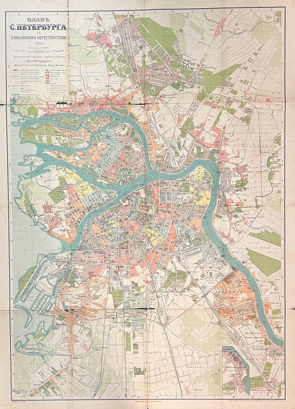
1914réf. 1442-23Petersburg, Kartograf Eab. J. J. Gasch 1914. Farblithogr. Karte. 108 x 79 cm. Gefaltet. In den Faltstellen tlw. gerissen u. mit kl. Fehlstellen.
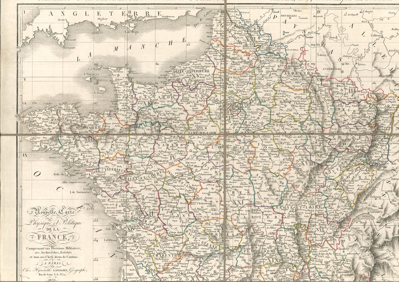
1826réf. 0648-13Paris, Hyacinthe Langlois 1826. 25 mehrf. gef. kolor. Stahlstichkarten auf Leinen aufgezogen. Gestochen von R. Wahl, Dandeleux et Malo. In 2 zeitgenössischen Pappschubern m. hs. Rückenschildchen. [12 Warenabbildungen]
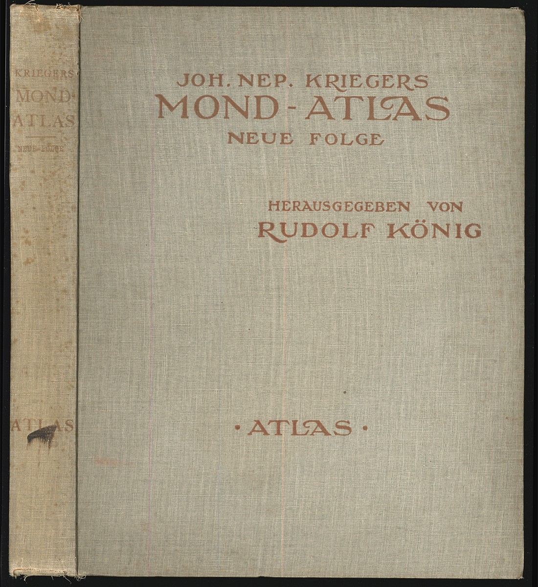
1912réf. 0287-21Wien, Eduard Heinrich Mayer 1912. Neue Folge. 2. Teil: Atlas. gr.-4°. 4 Bll. u. 58 Taf. in Lichtdruck, jede davon überdeckt von Pergaminpapier bedr. mit den Namen u. Positionsnummern des Geländes u. 1 Übersichtskarte. OLn. Kap. berieb- Rücken fleckig. Vordergelenk gelockert. EA [4 Warenabbildungen]
1852réf. 1288-16Hildburghausen/Amsterdam/New York, Bibliographisches Inst. (1852). qu.-4°. Gest. Tit., 1 Bl. (Kartenverz.), 123 Karten in meist grenzkolor. Stahlstichen, Ln. Ehem. Bibl.-Expl. Berieb., staub- u. fingerfleckig. Tit. gestemp. Mehrere Randeinrisse unterlegt. EA.
1863réf. 11222ABWien, 1863. 4 Bll. à 15 Segmente [ca. 55 x 66 cm], auf Leinen aufgezogen. Im Orig. OLwd.-Schuber., Abbildung
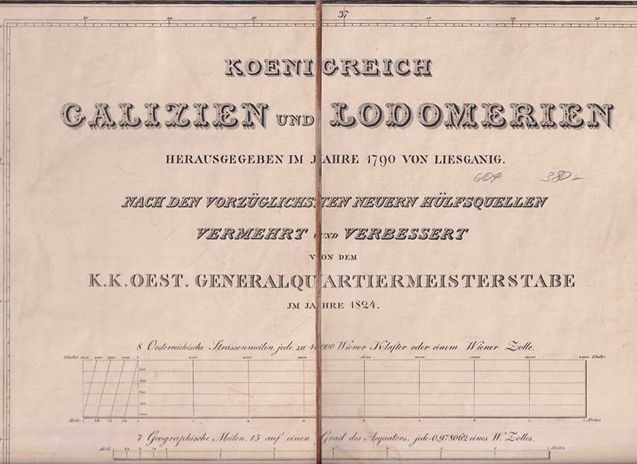
1824réf. 0898-21[Wien], K. K. Oest. Generalquartiermeisterstabe 1824. 8 gefalt. kolor. Kupferkarten auf Leinen gezogen. in Pappschuber d. Zt. [2 Warenabbildungen]
1720réf. 2214-18Nürnberg, J. B. Homann [ca. 1720]. 3 kolor. Kupferstichkarten. (Komplett!) Je 54 x 62 cm. (Blattgr.); 47 x 55, 5 cm. (Kartengr.). In sehr gutem Zustand.
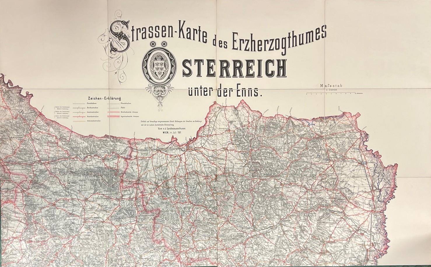
1881réf. 1900-22Wien, vom n. ö. Landesausschusse 1881. Farblithogr. Karte in 12 Segmenten auf 11 gefalt. Teilkarten auf Leinen montiert (je ca. 74 x 60 cm.). Mit Zeichenerklärung auf einer separaten Tafel. in Ln.-Mappe. In tadellosem Zustand. [2 Warenabbildungen]
1902réf. 17504(190 x de 286 à 296 mm), contrecollées sur du carton légendé, montrant l'exploit de l'aviateur Louis Plantier qui a réussi à poser son appareil le 5 février 1914 sur les bas-ports du Rhône, en plein centre ville de Lyon. Sur la première photographie, Plantier descend de l'appareil ; la deuxième, avec le pont de la Guillotière au second plan et l'Hôtel-Dieu en arrière plan, montre une foule déjà dense, vite accourue, autour du biplan ; enfin la troisième est légendée «Plantier repart pour Bron» ; c'est la plus belle car l'avion se trouve en perspective sous l'arche du pont, le parapet est noir de monde et un wagon de tramway semble lui-même assister au spectacle, on y voit très distinctement le pilote assis entre les deux ailes, prêt à redécoller aux commandes de son frêle appareil. Les trois photographies sont en tirage d'époque.
1730réf. 0516-07Augsburg [ca. 1730]. Altkolor. Kupferkarte. 50 x 56 cm. (Bildgr.) Auf altem Papier mont. Im äußerten rechten Rand stockfl. [2 Warenabbildungen]
1874réf. 10629ABWien, 1874. 13 Segmente auf Leinen aufgezogen. Lose Blattsammlung in Orig.Hlwd.-Schuber., Einband Leichte Gbrsp., Schuber etw. berieben. Sehr schönes Expl.
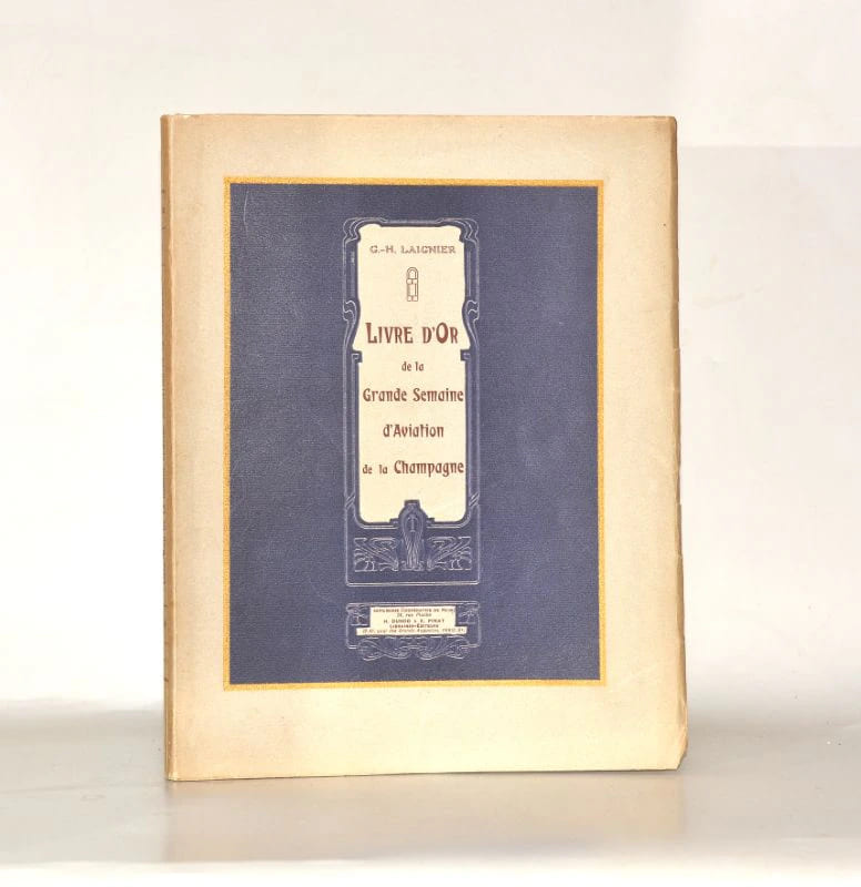
1909réf. 0042351909 Paris, H. Dunod & E. Pinat - Reims, Imprimerie coopérative, [1909]. In-quarto broché, couverture illustrée ; (4) ff., 224 pages, 7 planches hors-texte. Quelques rares rousseurs claires.
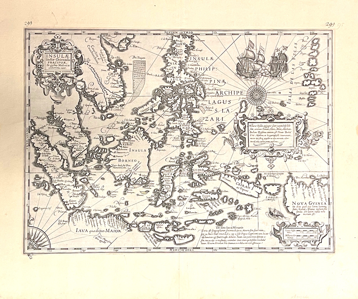
1633réf. 1824-24Amsterdam, Jodocus Hondius [1633]. Kupferstichkarte. 48, 5 x 56, 4 cm (Blattgr.); 34, 5 x 48 cm (Plattengr.). Geglättete Mittelfalte. Ränder etwas gebräunt, linke untere Ecke mit dezentem Sammlerstempel "W.J.D.", Text verso in französischer Sprache, paginiert 677-680 "Les principales Illes de l'Inde orientale", Paginierung durchgestrichen und durch 292-295 ersetzt. [2 Warenabbildungen]
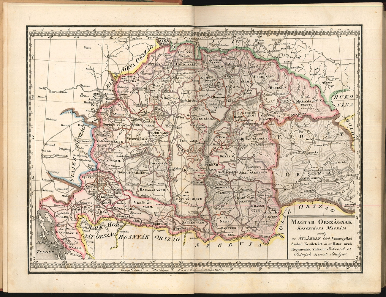
1848réf. 2192-22[Pest, Hartleben Konrad Adolf 1848]. 8°. Titel fehlt (in Kopie eingeb.), 1 Bl. (Index), 1 doppelblattgr. gest. Legende u. 53 grenzkol. Kupferstich-Karten. HLn.-Bd. im Stil d. Zt. mit aufgezogenem alten goldgeprägt. Rücken. Karten tlw. verso gestempelt, 1 Karte etwas knapp beschnitten (Veszprém Vármegye) bzw. 1 Karte bis in den Rand beschnitten (Körös Vármegye). Rand teils leicht gebräunt, die Karten sonst in gutem Zustand. [5 Warenabbildungen]