REILLY, Franz Ioh. Ios. v. (Hrsg.)Antiquariat.de

2 724 résultats
1796réf. 0349-18Wien, Reilly'sches Landkarten und Kunstwerke Verschleiss Komptoir 1796. Altkolor. Kupferkarte gest. v. Kilian Ponheimer. 60 x 74 cm. Ger.
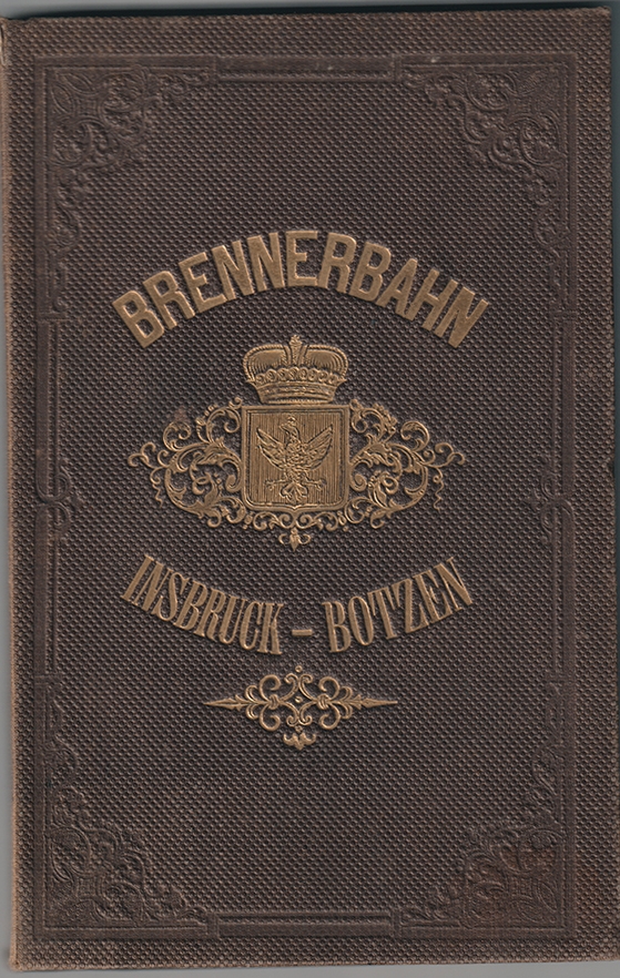
1864réf. 0510-21Wien, Artaria & Comp. 1864. gr.-8°. Farblithogr. Karte (135 x 57 cm.) auf Leinen gezogen. Mit 1 Höhenprofil. OLn. m. Goldpräg. Sammlerstempel am Tit. [4 Warenabbildungen]
1740réf. 1925-06Augsburg [ca. 1740]. Kolor. Kupferkarte. 49 x 56 cm. (Plattengr.).
194298 pages. Features; Interesting Canadian Pratt & Whitney photo ad inside front cover shows dozens of damaged propeller blades which will be repaired in Longueuil; Nice ad for the Bell Airacobra; Nice Dowty ad shows man standing beside huge tire/levered suspension; Snap-On Tools ad mentions Trans-Canada Airlines; Lockheed ad shows their Lightning shooting a Nazi plane; Great Canadian General Electric Aircraft Instruments ad for Canadian Bombers has great photos; Sweet two-page photo ad for "Avro-Ansons" by De Havilland; Nice Jacobs Engines ad; This is the Red Air Fleet - a verbal and pictorial blueprint of Russia's air power; Builders of Air Power - a brief sketch of the Air Council which is the Air Training Plan's Board of Directors; Aircraft Carriers in the Atlantic; Glider Training for Canada - the story of De Havilland's glider club, the glider they are building, and the training technique they will employ; Aircraft controls - an interesting description of engine and flight controls in general and of the Anson and Bolingbroke control boxes in particular; Astral Aircraft Navigation - the first article in a series; Canadian Aircraft Production; Nice colour ad for Wright engines with air transport theme; Great full-page colour-illustrated ad for Player's cigarettes shows a deptch charge exploding behind a Canadian destroyer; Interesting article on the replacement of low alloy steel and plywood for aluminum in advanced trainers; Manufacturing Propeller Hubs; Photo ad for Black & Decker portable electric tools; Brewster ad; Plane Builder William A. McGuire passes - article with photo; Interesting photo ad for Gleeson & Leahey of Ottawa who recycle oil; Canadian Car & Foundry photo ad for their propellers; Nice ad for Eclipse Aviation shows their North American advanced trainer; Photos of Pilot officer N.D.R. Dick of Cenora, Sask., Sgt. Pilot G.D. Robertson, Toronto, and Sgt. Pilot O.F. Pickell; Intava ad on back cover mentions T.C.A.; Index of advertisers; and much more. Somewhat above-average external wear. Unmarked. Chips from backstrip. A worthy vintage copy. Magazine
réf. DADAX0060899417New unknown
1720réf. 0146-18[Nürnberg, Homann 1720]. Orig.-Kupferkarte, altkoloriert. 54 x 62 cm. (Blattgr.); 48 x 59 cm. (Kartengr.). Kleine Eckabrisse an den oberen Ecken im weißen Rand.
1859réf. 0661-23Weimar, Geograph. 1859. Grenzkolor. Karte in Stahl gest. v. C. Jungmann. 68, 5 x 55 cm. Gefalt. Kl. Einriß im Falz. In sehr gutem Zustand.
1834réf. 0653-06Paris, Lebigre Frères 1834. 8me. éd., revue et corrigée. Gest. Titel, Drucktitel, 2 Bll., 694 S. Mit 7 (dav. 6 gefalt.) Karten u. 6 teils handkolor. numismat. Taf. Ldr. d. Zt. m. goldgepr. Rü. u. -Schildchen. Kap. etw. berieb.
1832réf. 1227-23Weimar, Verlag des Geographischen Instituts (1832/33). Altkolorierte Kupferstichkarte. 57,4 x 69, 2 cm (Blattgr.); 51,5 x 61, 4 cm (Plattengr.) Mit mittiger Faltspur. Teils minimale Randläsuren, mit 2 kl. Löchlein, davon 1 in der Darstellung.
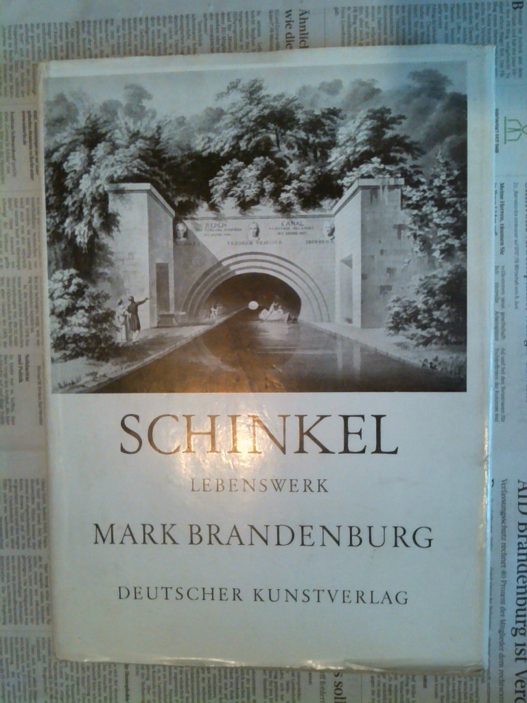
1960réf. 95409Berlin, Deutscher Kunstverlag, 1960. 307 S. 4° Quart, Leinen
réf. DADAX0792346912New unknown
réf. 84910aaf3 Broschüren und 1 Mappe mit maschinengeschriebenen Berichten oder Studien mit zahlreichen gezeichneten Karten und Diagrammen: 30 Bl. / 5 Bl. / 4 Bl. / 26 Bl., zw. den Seiten: 3 Briefe oder Durchschläge von Briefen mit Beilagen, guter Zustand.
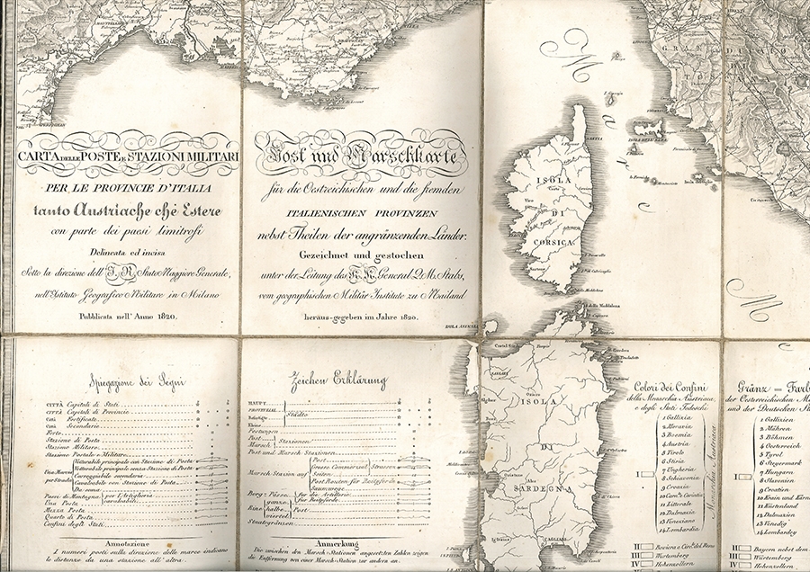
1820réf. 0161-23Mailand, Instituto Geografico Militare/Geographisches Militär Institut 1820. Gefaltete Kupferstichkarte in 24 Segmenten auf Leinen kaschiert. 72, 5 x 74, 8 cm. (Gesamtgr.), je Segment ca. 18 x 12, 5 cm. Gefaltet im zeitgen. Schuber mit Wurzelmarmorpapierbezug. In der oberen rechten Ecke und unteren Kante minimal fleckig, an den Segmentkanten leicht gebräunt. [2 Warenabbildungen]
1700réf. 42271ABAmsterdam, P. Schenk und G. Valck [um 1700]. Qu.-2° (39 x 50.5 cm). Breitrandig, Falz leicht knittrig. Die sonst leere Wappenkartusche mit Text von alter Hand 'Die Alte=Marck', eine kl. Notiz im Kartenbild und o.re. im äußeren weißen Rand numeriert (jeweils schwarze Feder).
1914Fine Turkish, Ottoman (1500-1928) In contemporary dark green cloth bdg. Two volumes in one. Foolscap 8vo. (18 x 12 cm). In Ottoman script. 2 volumes set: (64 p.; 64 p.), b/w ills. AH 1330-1331 = AD 1914-1915. First and Only Edition of this book on the plane geometry in the Imperial Ottoman. Set is very scarce. Mustafa Salim was a teacher and an engineer having grown up during the Ottoman period and his work called "Hesâb-i Asgar-i Nâmütenâhiyat" as well which was the first work on 'the differential calculus'. He gave lectures on differential and integral calculations, high algebra, technical mechanic, and mathematical mechanic at Hendese-i Mülkiye-i Sâhâne, Darul Funun (House of Sciences), and Darüssafaka, which were outstanding schools of the time. This work is one of the earliest plane geometry. This work includes the applications of the geometry lesson taught in the first year of the Idadîye schools which was written with Darüssafaka and Engineering School Teacher Hasan Fehmi Çayköy. First Edition. Özege 7291.; Only two copies in OCLC: 949534124 (Bogaziçi University Library, Istanbul) and 850849216 (ITU Library, Istanbul).
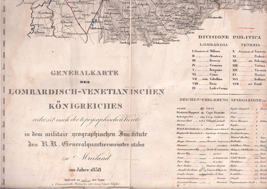
1838réf. 1182-21Mailand, Militärgeograph. Inst. 1838. Kolor. Kupferkarte in 40 Segmenten auf 4 gefalt. Kartenbll. (je ca. 47, 5 x 76, 5 cm) auf Leinen gezogen. Zus. 90 x 149 cm. in HLdr.-Schuber d. Zt.. m. Rückengoldpräg. 1 Karte im Bereich d. Kartusche wasserrandig. [6 Warenabbildungen]
réf. ARR004a1Série discontinue de 103 numéros du N°13 (Novembre 1937) au N°189(Décembre 1954)
1750réf. 32014ABUm 1750. 48 x 57 cm. Breitrandig unter Glas mit profilierter Holzleiste (58 x 64.5 cm). Leiste mit kl. Beschädigungen.
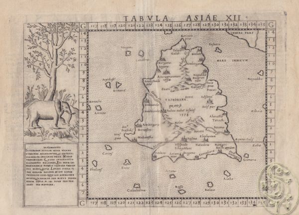
1580réf. 1709-12[ca. 1580]. Orig.-Kupferstich. 22 x 30 cm. (Blattgr.); 19 x 26 cm. (Bildausschn.). Kl. Randeinriß.
réf. 890655 textes reliés en 1 seul volume, demi-basane, reliure en mauvais état mais structure solide, des rousseurs sur les pages. Carillian-Goeury et Vor Dalmont, 1845, 118 p., 1 planche dépliante / Bachelier, 1852, 103 p., / Mallet-Bachelier, 1858, 104 p., 1 planche dépliante / Carilian-Goeury et Vor Dalmont, 1846, 72 p., 3 planches dépliantes / Carillian-Goeury et Vor Dalmont, 1850, 46 p., 3 planches dépliantes.
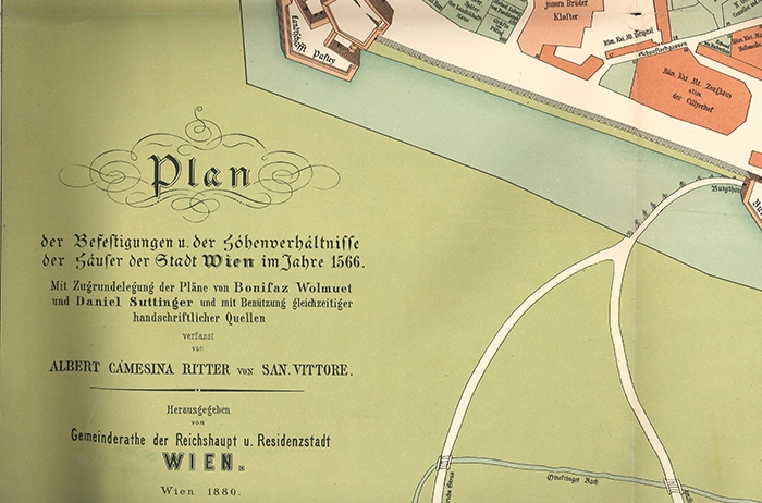
1880réf. 2140-18Wien, Reifenstein/Gemeinderath 1880. Orig.-Frablithogr. Plan. 84 x 103 cm. gefalt. Einrisse in den Bugfalten. [2 Warenabbildungen]
réf. P69London, Sampson Low, Marston & CO, 1909. Reprinted by Jane's Publishing Company, 1986.
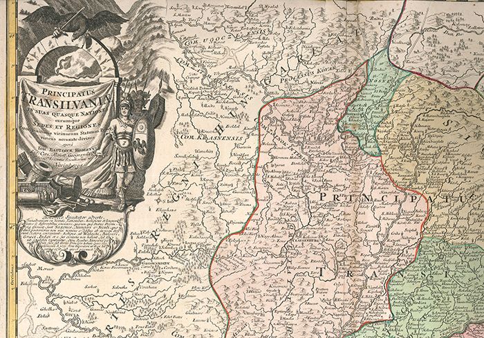
1730réf. 1291-17Nürnberg, Ioh. Baptist Homanni [ca. 1730]. Altkolorierter Kupferkarte 54 x 63 cm. (Blattgr.); 47 x 56 cm. (Kartengr.). Im weißen Rand tlw. stockfleckig u. randrissig. [2 Warenabbildungen]
1918réf. 1075-20München., Kriegskarten-Vlg. 1914-1918. Tle. 1-6 (v. 8) in 6 Bdn. 2°. 200 gefalt. farb. Karten in diesem Zeitraum. OLn.-Bde. Mit Gold- u. Scharzpräg. 1. Tl.: geplatze Rückenkante (ca. 8 cm.). 5. Tl.: Einbd. gebleicht. Karten ab Nr. 61 lose. Doublette von Karte 180.