[Graz]Antiquariat.de
2 699 résultats
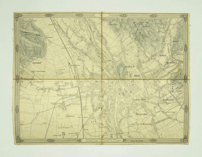
1873réf. 44793Wien, Herausgegeben vom k. k. milit. geografischen Institute, 1873. 15 lithogr. Teilkarten mit je 4-6 auf Leinen aufgezogenen Segmenten, gefalt. in Kart.-Umschlag u. HLwd.-Schuber d. Zt. m. goldgepr. u. handschriftl. Rückenschild (?Umgebung von Graz?).
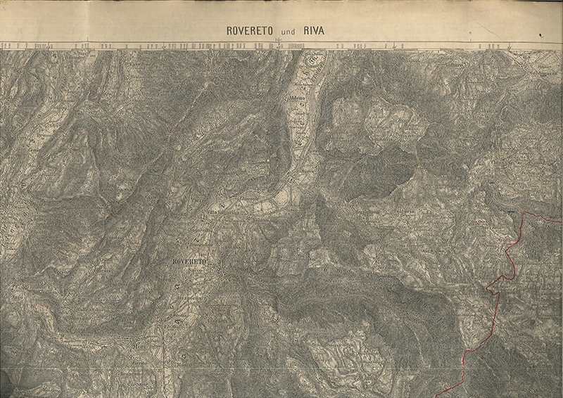
1894réf. 0524-23o. O., Vlg. 1894. 44, 5 x 55 cm. gefalt. Karte auf Leinen gezogen. Grenzverlauf rot markiert.
1914Fine Turkish, Ottoman (1500-1928) In contemporary dark green cloth bdg. Two volumes in one. Foolscap 8vo. (18 x 12 cm). In Ottoman script. 2 volumes set: (64 p.; 64 p.), b/w ills. AH 1330-1331 = AD 1914-1915. First and Only Edition of this book on the plane geometry in the Imperial Ottoman. Set is very scarce. Mustafa Salim was a teacher and an engineer having grown up during the Ottoman period and his work called "Hesâb-i Asgar-i Nâmütenâhiyat" as well which was the first work on 'the differential calculus'. He gave lectures on differential and integral calculations, high algebra, technical mechanic, and mathematical mechanic at Hendese-i Mülkiye-i Sâhâne, Darul Funun (House of Sciences), and Darüssafaka, which were outstanding schools of the time. This work is one of the earliest plane geometry. This work includes the applications of the geometry lesson taught in the first year of the Idadîye schools which was written with Darüssafaka and Engineering School Teacher Hasan Fehmi Çayköy. First Edition. Özege 7291.; Only two copies in OCLC: 949534124 (Bogaziçi University Library, Istanbul) and 850849216 (ITU Library, Istanbul).
1914Very Good Turkish, Ottoman (1500-1928) Original red wrappers. Foolscap 8vo. (18 x 12 cm). In Ottoman script. 64 p., b/w ills. AH 1330 = AD 1914. This is the only first volume of two. First and Only Edition of this book on the plane geometry in the Imperial Ottoman. Mustafa Salim was a teacher and an engineer having grown up during the Ottoman period and his work called "Hesâb-i Asgar-i Nâmütenâhiyat" as well was the first work on 'differential calculus.' He gave lectures on differential and integral calculations, high algebra, technical mechanic, and mathematical mechanic at Hendese-i Mülkiye-i Sâhâne, Darul Funun (House of Sciences), and Darüssafaka, which were outstanding schools of the time. This work is one of the earliest plane geometry. This work includes the applications of the geometry lesson taught in the first year of the Idadîye schools which was written with Darüssafaka and Engineering School Teacher Hasan Fehmi Çayköy. First Edition. Özege 7291.; Only two copies in OCLC: 949534124 (Bogaziçi University Library, Istanbul) and 850849216 (ITU Library, Istanbul).
réf. 32309BBo. O., o. J. ca. 68 x 84 cm, mehrf. gefaltet.
réf. 41443DBMünchen, Bayerische Druck- und Verlagsanstalt, o. J. ca. 50 x 48 cm. OKarte., Abbildung
1914réf. 1108-22[Wien, Militärgeographisches Institut 1914]. 46 x 63 cm. gefalt. Karte auf Leinen gezogen.
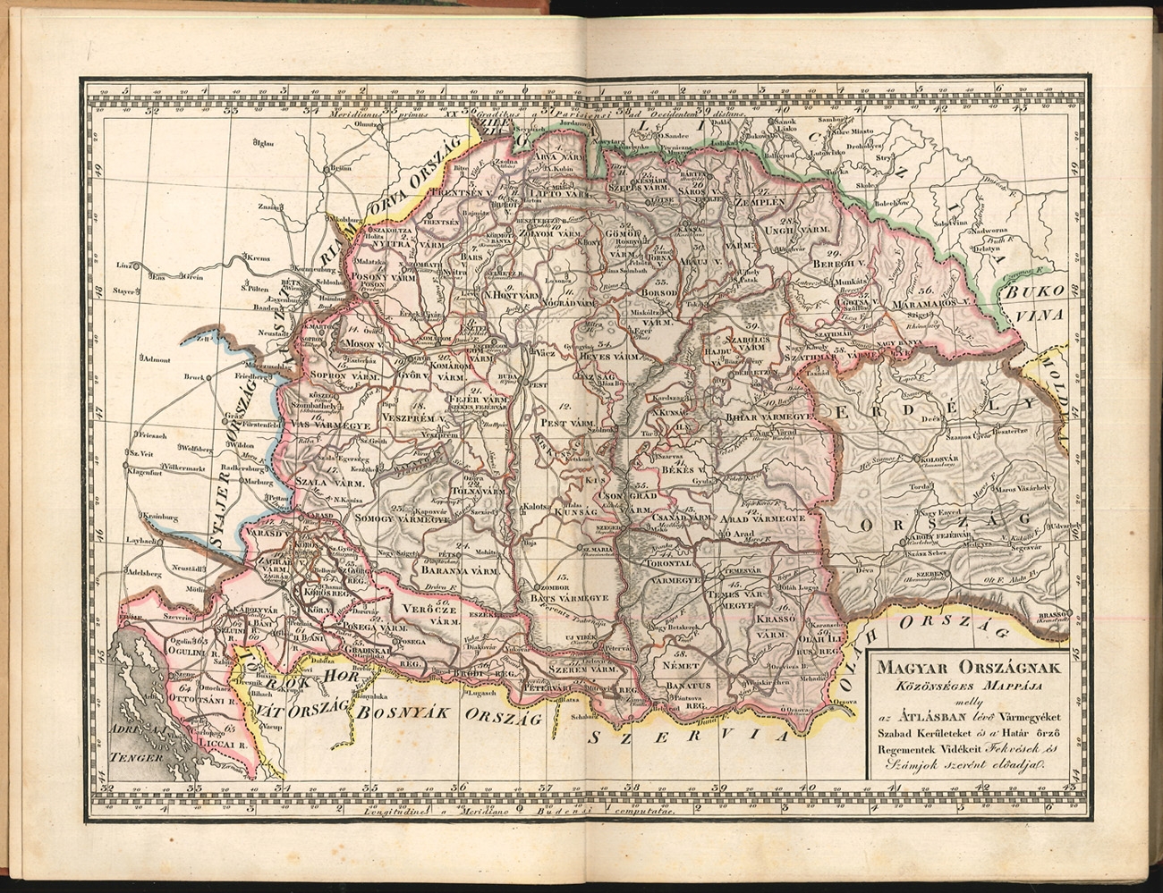
1848réf. 2192-22[Pest, Hartleben Konrad Adolf 1848]. 8°. Titel fehlt (in Kopie eingeb.), 1 Bl. (Index), 1 doppelblattgr. gest. Legende u. 53 grenzkol. Kupferstich-Karten. HLn.-Bd. im Stil d. Zt. mit aufgezogenem alten goldgeprägt. Rücken. Karten tlw. verso gestempelt, 1 Karte etwas knapp beschnitten (Veszprém Vármegye) bzw. 1 Karte bis in den Rand beschnitten (Körös Vármegye). Rand teils leicht gebräunt, die Karten sonst in gutem Zustand. [5 Warenabbildungen]
1861réf. 41589DBo. O. [Wien?], -, o. J. [um 1861]. ca. 44 x 88 cm. Je 10 Segmente auf Leinen aufgezogen., Abbildung 8 Karten.
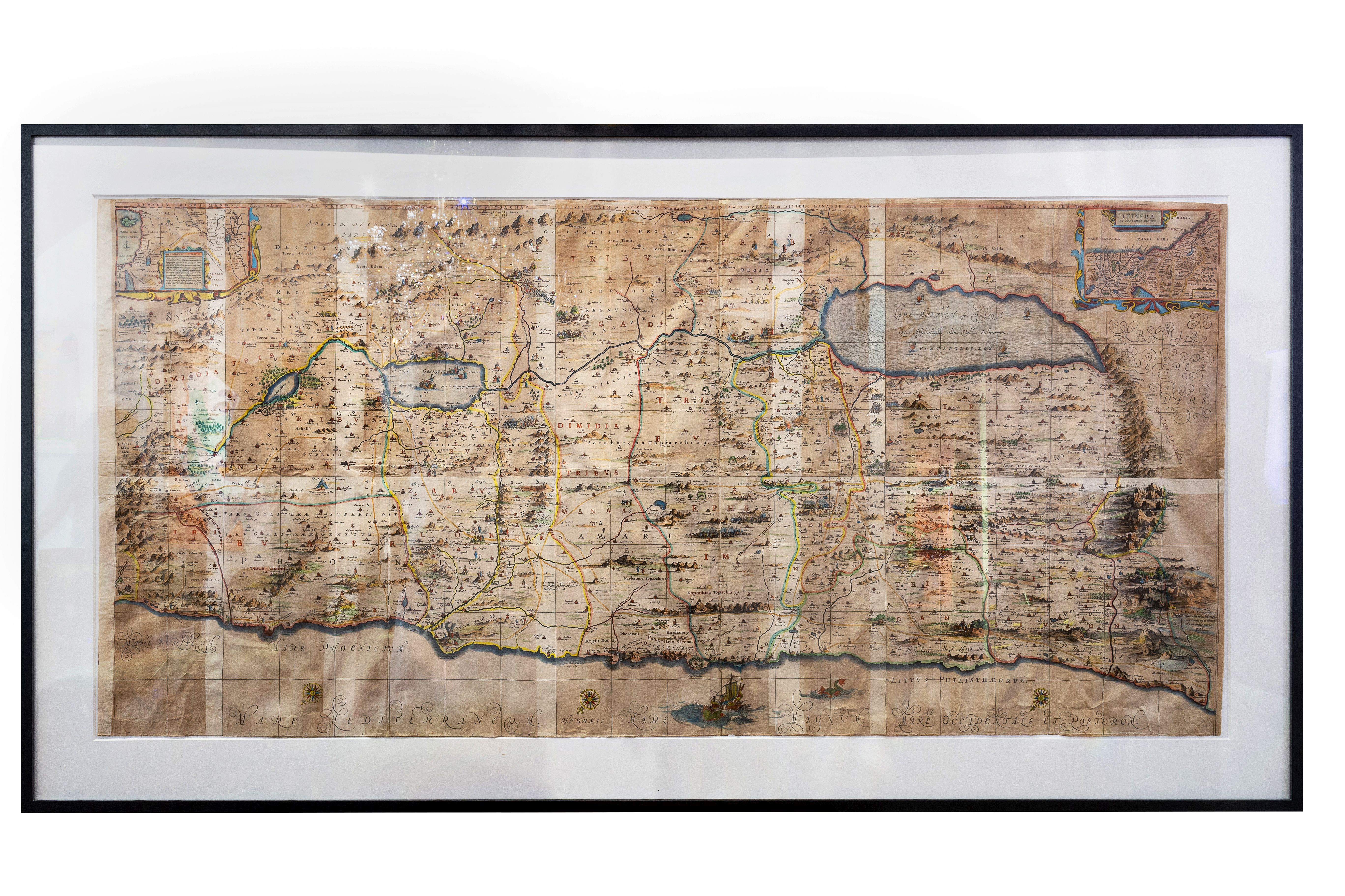
1662réf. 1086-18[1662]. Orig.-copperplate engraved map, hand coloured (in old colours). Height: 91,4 cm. (36 in); Width: 185, 4 cm. (73 in). [4 Warenabbildungen]
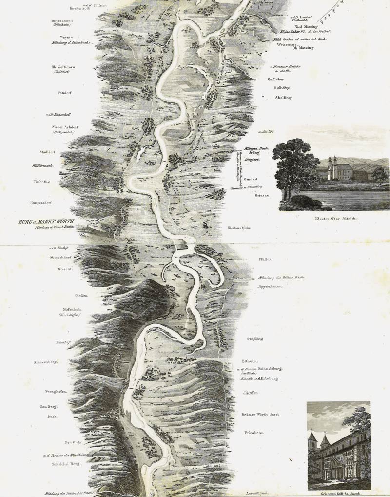
1838réf. STLB0032Wien, Peter Rohrmann 1840, 1839 und 1838. Quer-4°. Gest. Tit. u. 16 gest. Bll. (in Leporellofaltung, Gesamtgr. ca. 30 x 288 cm); gest. Tit., 13 gest. Bll. (in Leporellofalt., Gesamtgr. ca. 30 x 252 cm) m. 2 Allongen (am Anfang und am Ende) u. IV, 90 u. 79(5) S. Bedruckter, brauner OHalbleinenbd. u. bedruckter, grüner OPappband. sowie gelbe OBrosch. (Textbd.). Einbde. angestaubt u. an den Rü. u. Ecken (m. tlw. restaur.) Läsuren, Karte nahezu durchgehend stockfl., Tl.2 darüber hinaus durchgeh. stärker gebräunt. Vgl. Nebehay-Wagner 271 (hier Tl.2 datiert 1838). Die ersten beide Teile eines dreiteilgen Panoramas des Donaulaufs von Regensburg bis Pesth (ohne Tl.3 von Wien bis Pesth). Sehr detailgetreu gezeichnet und durchgehhend unter Angabe der Ortschaften. An den Rändern mit zusammen 54 kleinen Ansichten und 4 kleinen Statdtplänen (von Regensburg, Passau, Wien u. Linz) in Stahlstich. - Die Ansichten u.a. von Kreuzenstein, Nussdorf, Greifenstein, Klosterneuburg, Dreikönigskapelle in Tulln, Stein, Dürrenstein, Ruine Agstein, Melk, Regensburg, Straubing, Vilshofen, Linz. Der Textband mit umfangreichem Orts- und Sachregister. Verfasst von dem österr. Publizisten und Schriftsteller Matthias Koch (1798- 877) war 1830-35 Kabinettssekretär des Erzherzogs Maximilian von Österreich-Este, wirkte anschließend als Privatbibliothekar der Erzherzogin Beatrix und widmete sich nach seiner frühen Pensionierung einer Tätigkeit als freier Schriftsteller. Er bekämpfte 1848 die Revolution vehement mit Zeitungsartikeln, Flugschriften und Plakaten. (vgl. dazu ÖBL 4, S. 19f.).
1905réf. 32293BBo. O., o. J. [um 1905.]. ca. 38,5 x 53 cm. 8 Segmente auf Leinen.
réf. 32302BBo. O., o. J. Ca. 65 x 78 cm. 8 Segmente auf Leinen.
1966réf. 1205377PN. New. 1966. Reprint Edition. Soft Cover. Date is copyright date; this is a later reprint edition . PN paperback
réf. DADAX0526319429Wentworth Press 2019-02-28. hardcover. New. 6.14x1.19x9.21. Buy with confidence. Excellent Customer Service & Return policy. Wentworth Press hardcover
réf. 0526319429.Ghardcover. Good. Access codes and supplements are not guaranteed with used items. May be an ex-library book. hardcover
réf. 45575571-nnew. unknown
réf. 45575571like new. unknown
1903réf. R320172933Plon Nourrit et cie. 1903. In-12. Broché. Etat d'usage, Tâchée, Dos satisfaisant, Quelques rousseurs. XIII + 284 pages - quelques photos et cartes en noir et blanc hors texte - papier jauni - rousseurs et mouillures sur les plats.. . . . Classification Dewey : 980-Histoire générale de l'Amérique du Sud
réf. 42179Paris Librairie Plon. Plon-Nourrit et Cie, Imprimeurs-Editeurs 1903 in 12 (18x11,5) 1 volume reliure demi chagrin rouge, dos à nerfs, pièce de titre de cuir vert, couverture conservée, XIII et 284 pages [2], avec 25 gravures hors-texte, et de 2 cartes. Bel exemplaire, bien relié ( Photographies sur demande / We can send pictures of this book on simple request )
réf. 560970P., Plon, 1903. In-8 broché, XIII-284 pp., 19 pl. h.-t. en noir, dont 12 pl. d’ill. photographiques, 2 graphismes et 2 cartes.
2000257 pages. Author's inscription upon title page. Biography of a survivor of World War II. "As I bailed out of the side of the aircraft, I counted to five to make sure I was clear of the plane. Then I pulled the ripcord and in about two seconds there was a terrific slap on both sides of my face as the shoot straps hit me. At the same time, there was a terrific jolt as the shoot slowed my descent.... before I knew anything else, I crashed through some trees and came to a halt in pitch darkness.... I finally realized that my feet were not on the ground." Decent reading copy. Book
1965réf. 3111422London: Royal Astronomical Society (um 1965). Seiten 387-397. Gr. 8° (22,5-25 cm). Orig.-Broschur. [Softcover / Paperback].
1944réf. 8061CWashington., AMS., 1944/47. (ca. 91 x 88 cm). 1 map (English Language). Original map, folded, with title to front cover. Low signs of use, a bit browning at the back. Appropriate to its age in good condition.
(ca. 91 x 88 cm). 1 map (English Language). Original map, folded, with title to front cover. Low signs of use, a bit browning at the back. Appropriate to its age in good condition. Die vorliegende Karte beinhaltet den geographischen Stand bis 1945. Sie zeigt Europa, Asien, Afrika und den Großteil Ozeaniens. Sie trägt oben den Hinweis: "For use by War and Navy Department Agencies only". / The military map shows Europe, Asia, Africa and wide parts of Australia. The map contains the geographic status up to 1945 and contains the note "For use by War and Navy Department Agencies only".