2 761 résultats
1957réf. 1080881957 N° 42 - Mars 1957 - Revue mensuelle illustrée - In-8 broché, 48 pages - Illustrations et reproductions photographiques en noir et blanc, hors-texte
1957réf. 1080901957 N° 45 - Juin 1957 - Revue mensuelle illustrée - In-8 broché, 48 pages - Illustrations et reproductions photographiques en noir et blanc, hors-texte
1957réf. 1080911957 N° 46 - Juillet 1957 - Revue mensuelle illustrée - In-8 broché, 48 pages - Illustrations et reproductions photographiques en noir et blanc, hors-texte
1957réf. 1080921957 N° 48 - Septembre 1957 - Revue mensuelle illustrée - In-8 broché, 48 pages - Illustrations et reproductions photographiques en noir et blanc, hors-texte
1957réf. 1080931957 N° 49 - Octobre 1957 - Revue mensuelle illustrée - In-8 broché, 48 pages - Illustrations et reproductions photographiques en noir et blanc, hors-texte
1954réf. 1107271954 N° 10 - Juillet 1954 - Revue mensuelle illustrée - In-8 broché - 48 pages - Illustrations et reproductions photographiques en noir et blanc, hors-texte
1953réf. 1107281953 N° 3 - Décembre 1953 - Revue mensuelle illustrée - In-8 broché - Couverture illustrée (Le téléphérique de Saint-Gervais) - 48 pages - Illustrations et reproductions photographiques en noir et blanc, hors-texte
1630réf. 0130-18Amstelodami (Amsterdam), Hericus Hondius [1630]. Orig.-Kupferkarte. 44 x 54 cm. (Blattgr.); 38 x 49 cm. (Kartengr.). Etwas randrissig im weißen Rand.
1940réf. 96542ABBerlin, Deutscher Verlag, (1940). 8°. 227 S. mit 21 Aufnahmen und einer Übersichtskarte. Original-Leinenband.
1981réf. 48681Dietikon-Zürich : Urs Graf-Verlag, 1981. 235 S. (27x32 cm) Großformat, Leinen mit Umschlag / gebundene Ausgabe
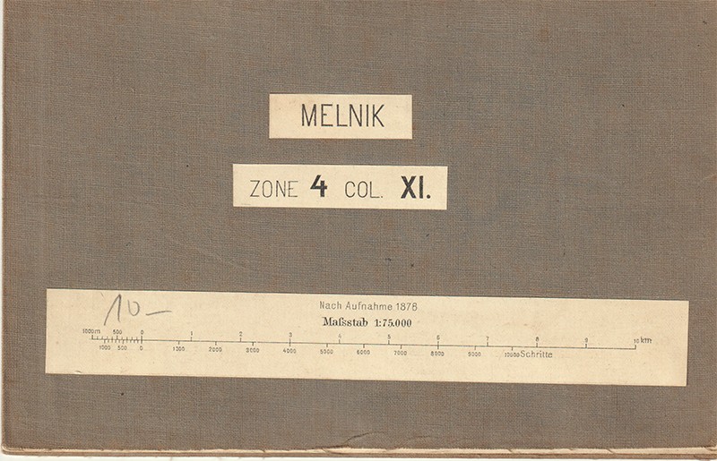
1885réf. 2641-21[Wien, Mililtärgeographisches Institut ca. 1885]. Gefalt. lithograph. Karte auf Leinen aufgezogen (40 x 50 cm.). In gutem Zustand.
1986réf. 860061986 Editions Atlantica - 2000 - In-8 broché - 428 p. + un cahier de photographies N&B en pages centrales
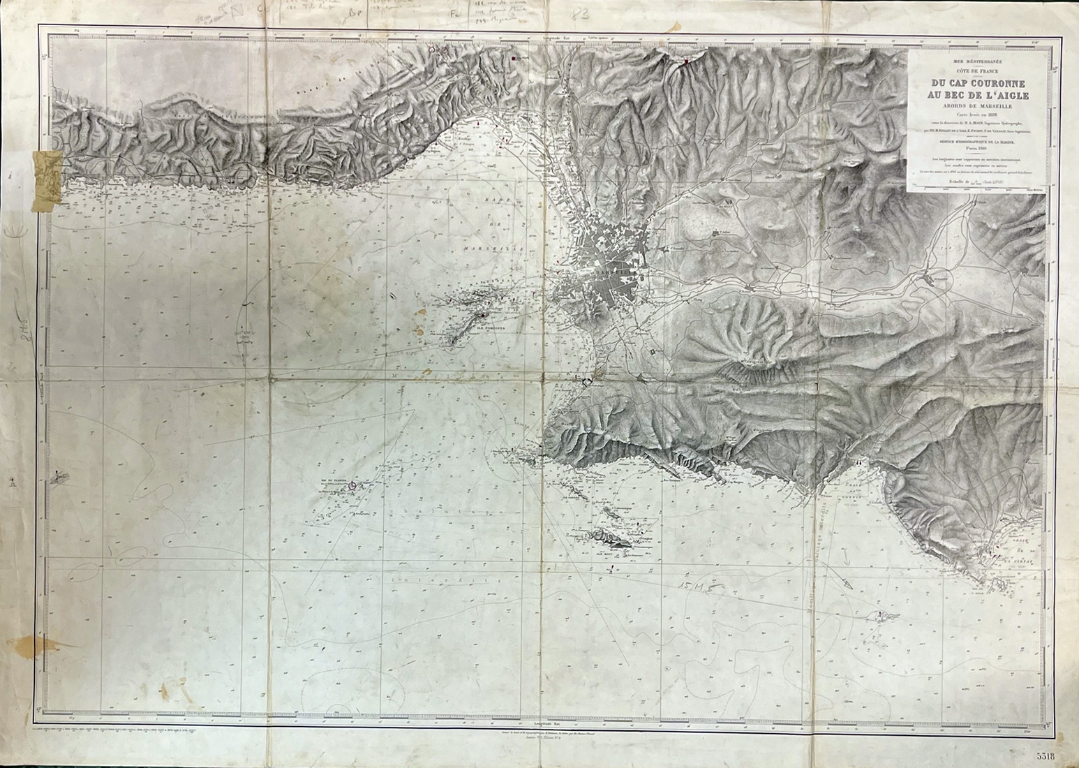
1910réf. 1054-23Paris, Service Hydrochgraphique de la Marine 1910. Carte levée en 1898. 74, 5 x 10⁴, 5 cm. (Gesamtgr.). Kupferstichkarte, gefaltet. Ränder etwas knittrig, teils etwas fleckig, mit zahlreichen Bleistiftanmerkungen.
réf. DIV13Paris, Imprimerie Kossuth, 1932. Catalogue 24x31 cm., 20 pages, broché. Couverture couleurs.
réf. 100.556Paris, Julliard, 1982. 14 x 22, 346 pp., broché, bon état.
1961réf. 1229121961 Editions Le Livre Contemporain - 1961 - In-8, cartonnage, sous jaquette illustrée signée Aslan - 248 pages
2021réf. 500036090Maxilivres 2021 1 pages 24 2x31 8x2 2cm. 2021. Relié. 1 pages.
2021réf. 500093017Maxilivres 2021 1 pages 24 2x31 8x2 2cm. 2021. Relié. 1 pages.
2012réf. JOU1203MRelié, 288 pages, paru le 1er juin 2012 chez Hatje Cantz, livre quasi neuf. Exemplaire numéroté 61.
1981réf. 1110671981 Editions E.P.A. - 1981 - In-4, cartonnage bleu sous jaquette illustrée en couleurs de l'éditeur - 208 p. - Très riche iconographie in et hors-texte en couleurs et N&B
ca.20,5 x 14 cm; ausgefaltet ca. 60 x 57 cm. Original Karte, einseitg bedruckt, schwarzweiß und hellgrün, mehrfach gefaltet (12 Segmente). Leicht berieben, mit 3 kleinen Randeinrissen außerhalb der bedruckten Fläche und einem Einriss im Bereich der Legende, an den Knickkreuzen mit kleinen Löchlein, oben rechts am unbedruckten Rand etwas fleckig, sonst guter Zustand. Erfasst das Gebiet Döberitz, Kladow, Potsdam, Babelsberg, Bornstdt, Bornim, Fahrland. Mit Zeichenerklärung und kleiner Gewässerkarte.
2000réf. 2-273848848XEditions L'Harmattan 2000. Paperback. New. 258 pages. French language. 9.37x6.22x0.79 inches. Editions L'Harmattan paperback
1985réf. 73418München, Carl Hanser Verlag, 1985. XI + 194 S. 8° Oktav, Softcover/Paperback
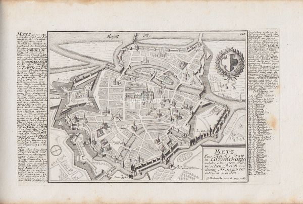
1725réf. 2315-12[Augsburg, ca. 1725]. Orig.-Kupferkarte. 15,5 x 25,5 cm. (Plattengr.).