Antiquariat.de
2761 risultati
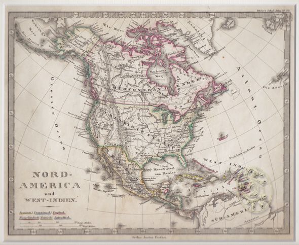
1845rif. 1282-12Gotha, Perthes [ca. 1845]. Grenzkolor. Kupferkarte. 19 x 23, 5 cm. (Bildausschn.). Unter Passep. - (Stieler's Schul-Atlas, Nr. 28)
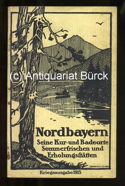
1915rif. 406738Nürnberg: Druck bei Bieling-Dietz. (1915). (Einband etwas bestossen und fleckig, Klammerung angerostet mit kleiner Papierverfärbung, innen sauber, insgesamt passabel erhalten) 68 Seiten. Illustrierte Original-Broschur,
1840rif. 1714-18o. O., Vlg. [ca. 1840]. 33, 5 x 46 cm. grenzkolorierte Kupferkarte. Gefalt. In sehr gutem Zustand.
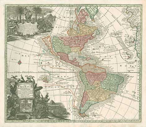
1750rif. 32014ABUm 1750. 48 x 57 cm. Breitrandig unter Glas mit profilierter Holzleiste (58 x 64.5 cm). Leiste mit kl. Beschädigungen.
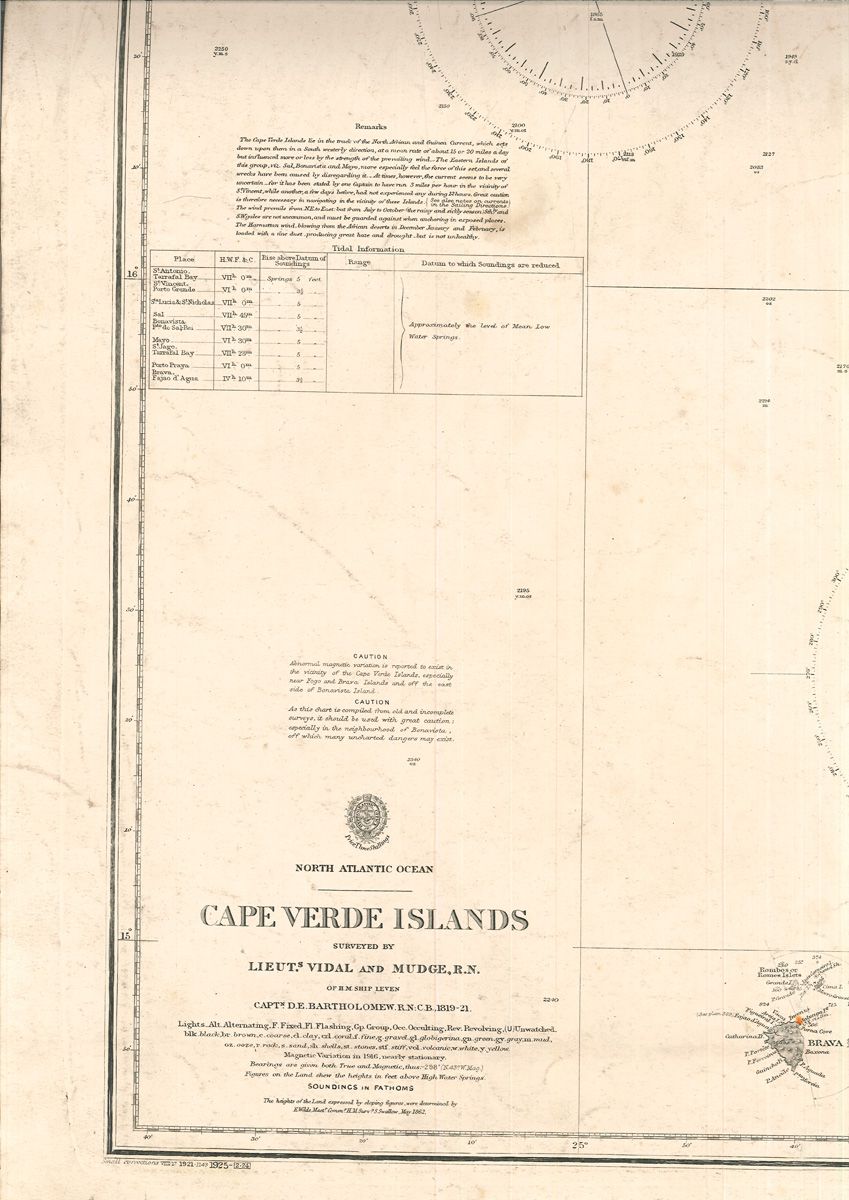
1925rif. 0149-181925. Orig.-Stahlstichkarte v. J. Walker. 68 x 85 cm. (Blattgr.); 61 x 76 cm. (Kartengr.). Etwas staubfleckig. Einfach gefalt.
(ca. 58 x 80 cm). 1 map (English Language). Original map mounted at cloth, folded, with title to front cover. (= GS Series: 4042, Sheet No. 5). Visible signs of use and wrinkled along the fold lines. Appropriate to its age and use still in good condition.
1939rif. 8063CLondon:, War Office., 1939. (ca. 58 x 80 cm). 1 map (English Language). Original map mounted at cloth, folded, with title to front cover. Visible signs of use and wrinkled along the fold lines. Appropriate to its age and use still in good condition. (= GS Series: 4042, Sheet No. 5).
1954rif. 8064CWashington:, National Geographic Magazine., 1954. (ca. 72,5 x 110 cm). 1 map (English Language). Original map, folded, with title to front cover. One little damaged area along the fold lines, appropriate to its age still in good condition.
(ca. 72,5 x 110 cm). 1 map (English Language). Original map, folded, with title to front cover. One little damaged area along the fold lines, appropriate to its age still in good condition.
rif. NOTAV161Issy-les-Moulineaux, Aéroplanes Caudron, 1917. In-12, 20pp., 2photos, 2 pl. dépliantes, br.
rif. c3632Sans lieu, ni date, vers 1930 ; in-4°,broché, couverture beige imprimée en noir ,dos muet; 6ff., 65pp. + 12 annexes de texte( env.50pp.n.ch) et 20 planches +10 planches photographiques hors texte pour le réglage et la mise au point du viseur ; couverture un peu défaîchie avec déchirure au dos sans manque de papier.
rif. 100.295Bruxelles, Aéro Club de Belgique, 1924. 13 x 21, 32 pp., quelques figures, broché (agrafé), bon état.
rif. 103.653Ministère des transports, Secrétariat Général à l'Aviation Civile, Service de la formation aéronautique (SFA), 1970. 18 x 22, 113 pp.,131 figures, quelques autres illustrations, 1 carte volante en fin de volume, broché, très bon état.
rif. AERO51P., Gauthier-Villars, 1936. In-4, 119pp., croquis in-t., 3 pl. dépl., br.
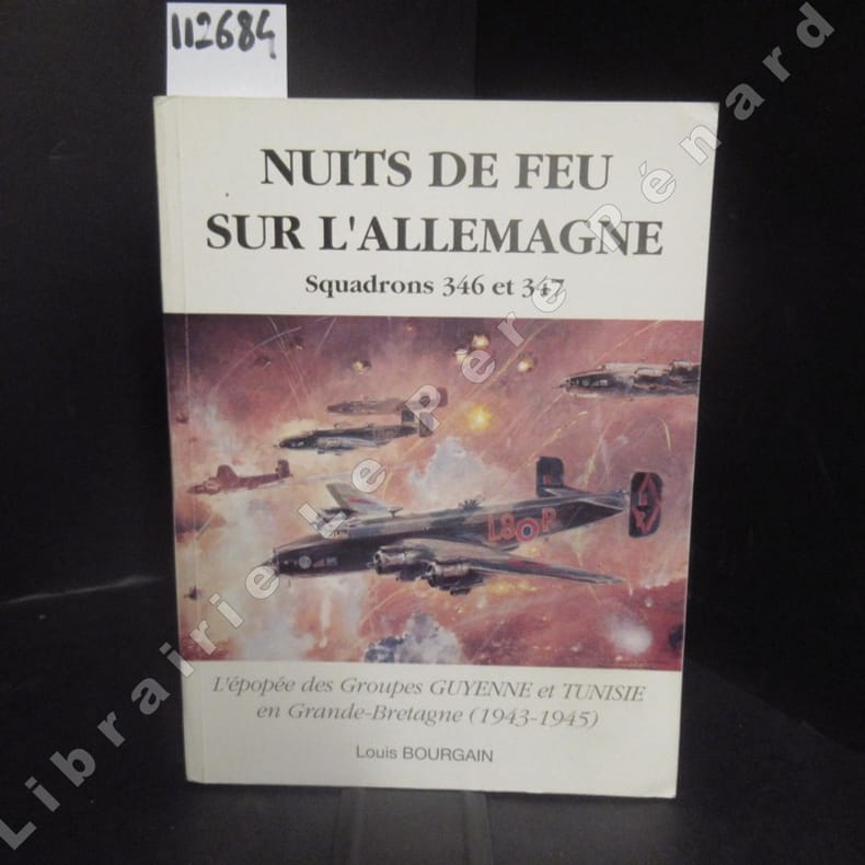
1981rif. 30879Paris Éditions Maritimes et D'outre-mer 1981 Fort In-8 665 pp
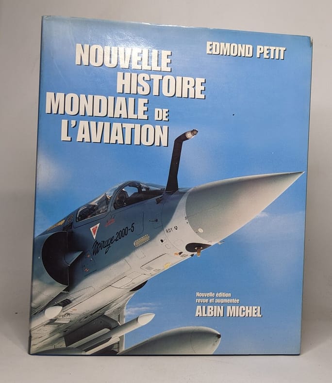
1997rif. 100110673Albin michel 1997 498 pages 25 8x4 4x30 8cm. 1997. Relié. 498 pages.
1834rif. 0653-06Paris, Lebigre Frères 1834. 8me. éd., revue et corrigée. Gest. Titel, Drucktitel, 2 Bll., 694 S. Mit 7 (dav. 6 gefalt.) Karten u. 6 teils handkolor. numismat. Taf. Ldr. d. Zt. m. goldgepr. Rü. u. -Schildchen. Kap. etw. berieb.
1981P., Editions maritimes & d'outre-mer, 1981. In-8 broché, 662 pages. Une marque de pliure au dernier plat, bon état par ailleurs
1730rif. 0516-07Augsburg [ca. 1730]. Altkolor. Kupferkarte. 50 x 56 cm. (Bildgr.) Auf altem Papier mont. Im äußerten rechten Rand stockfl. [2 Warenabbildungen]
1991rif. 1126841991 Imprimerie Panda, Noisy-le-Sec - 1991 - In-8, broché, couverture illustrée - 303 p. - Reproductions photographiques in et hors texte en N&B
1961rif. 1228491961 Editions Le Livre Contemporain - 1961 - In-8, cartonnage toilé bleu, sous jaquette illustrée signée Aslan - 256 pages - Contient un cahier photographique central en N&B
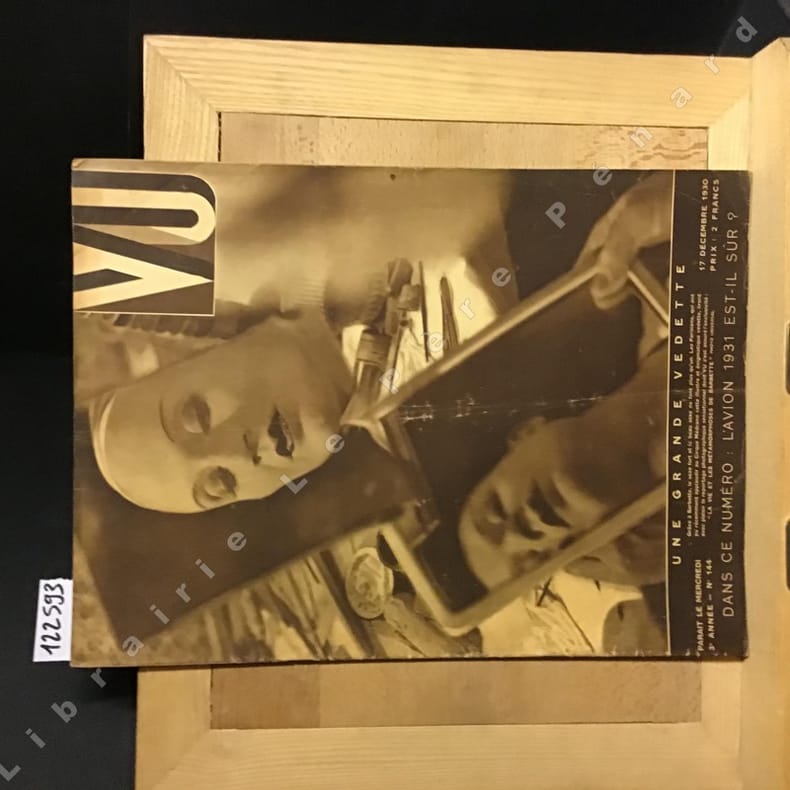
1930rif. 1225931930 3e année - N° 144 - 17 décembre 1930 - in-4 broché - revue hebdomadaire illustrée - 30 pages - parait le mercredi
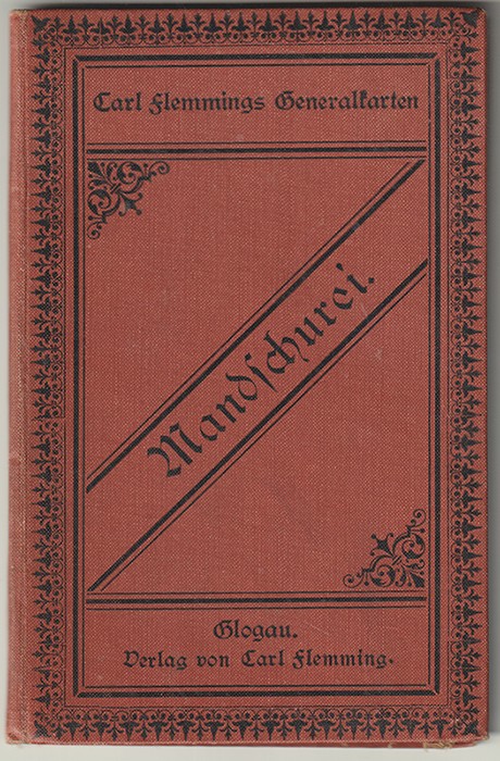
1905rif. 1053-22Glogau, Carl Flemming [ca. 1905]. Mehrf. gefalt. grenzkolorierte Karte 34, 5 x 87, 5 cm. auf Leinen gezogen. im Maßstab 1: 4.500.000. OLn. Karte geringf. stockfleckig. - (Carl Flemmings Generalkarten [45a]) Carl Flemmings Generalkarten ; [45a] [2 Warenabbildungen]
1895rif. 12515BBerlin, 1895/1929. Original Karte, schwarzweiß, mehrfach gefaltet (8 Segmente / 20,5 x 12 cm), ausgefaltet 40,5 x 48 cm. Mit 2 Stempeln am oberen und unteren Rand, sonst guter Zustand.
Original Karte, schwarzweiß, mehrfach gefaltet (8 Segmente / 20,5 x 12 cm), ausgefaltet 40,5 x 48 cm. Mit 2 Stempeln am oberen und unteren Rand, sonst guter Zustand. Erfasst das Gebiet rundum (einschließlich) Nörenberg: Blankenhagen, Zamzow, Zuchow, Silberberg, Reetz, Konstantinopel, Schwanenbeck etc.