Mills, Carl [Signed]; RCN BansheeitesMareMagnum

2718 risultati
1991Signed [Carl] and inscribed to a local military museum by author upon front free endpaper. 306, [14] pages. Index of Stories. General Index. Chronology. List of Abbreviations. Printed upon glossy stock. Profusely illustrated with colour and black and white photos. Author "took five years to research and produce this book. As most RCN photo negatives and files had been systematically destroyed, the majority of the 550 book stories evolved from interviews and correspondence with nearly 300 Bansheeites and the photos were borrowed from many personal collections." - dust jacket. Small library stamps and bit of writing atop front endpapers otherwise clean, bright and unmarked with light wear. Binding tight. Dust jacket now preserved in glossy new archival-grade Brodart. A quality copy of this excellent Banshee reference. Cooke [3e] p.108 Book
1910rif. 41485DBo. O., -, [um 1910?]. ca. 50 x 38 cm. 9 Segmente auf Leinen aufgezogen., Abbildung
rif. 100.997Paris, Editions Colbert, 1942. "12 x 19, 237 pp., reliure dos et bord cuir, plats à motif marbré en léger relief (genre ""papier peint""), couverture conservée (avant et arrière), très bon état."
1910rif. 106292o. O., o. V., 1910. 13 Tafn. 2° Folio, Softcover/Paperback
1950rif. 15184ABo. O., 14 Field Survey Squandron RE, 1950. OBrosch.
1750rif. 39780ABNürnberg, Homann [ca 1750]. 55,5 x 48 cm (unter Holzleiste gerahmt ca 67 x 58 cm). Im weißen Rand leicht wellig, rechts schwach braunfleckig.
1764rif. 1747-19[Paris 1764]. Orig.-Kupferkarte, kolor. 20, 5 x 26, 5 cm. (Kartengr.). Size: 10 5/8" x 8". Ger.
1993Features: The Press and Paddy Burke (Part One); Pat Renahan; Searching for missing flyers; Burke Dead, Two Saved; Kauzunoko - Herring Spawn near Denman Island; Omnidirectional Gzowski - a Canadian Odyssey - an Aero Commander "Shrike" Survey Plane; Prince George; Northern Thunderbird Air; YXS; Northern Mountain Helicopters; An Antinov (AN2) Afternoon; Rossland and the Flying Steam Shovel; Navair Charter; Air Cadets are the Grassroots. Nice copy. Magazine
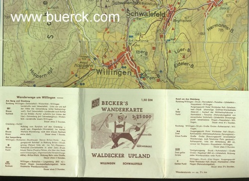
1960rif. 404544Marburg: Becker. (um 1960). (Falze teils mit Transparentfolie geklebt, etwas knickspurig, insgesamt noch ordentlich erhalten) Aufgefaltet ca. 42 x 30 cm,
1975rif. 145067Stuttgart. K. Krämer Verlag. 1975. 86 Seiten u. zahlreiche, meist gefaltete u. mehrfarbige Karten u. Plänen. Zweifarbig illustrierte Original-Broschur. (Einband an den Rändern mit geringeren Gebrauchsspuren. Titelblatt mit leichter Knickspur). 33x21 cm
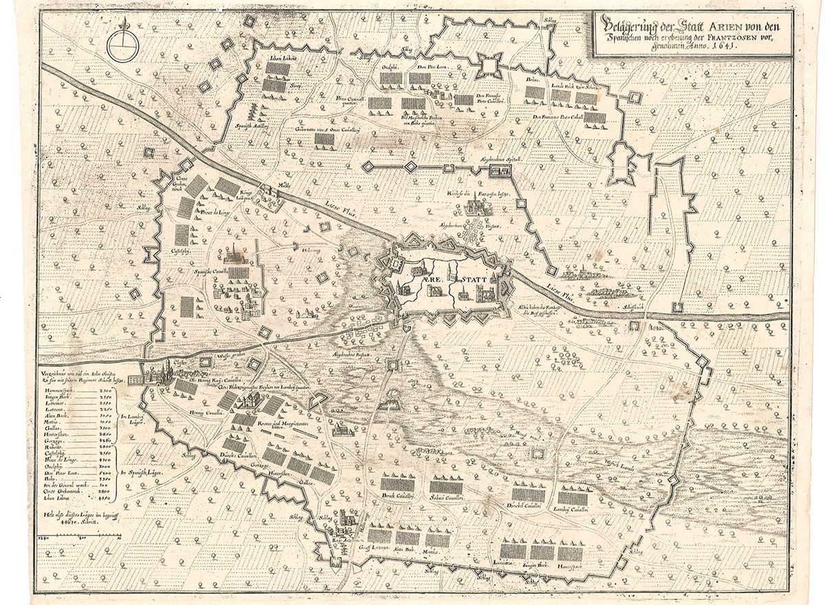
1645rif. 1965-03[ca. 1645]. Orig.-Kupferstich. 28 x 36 cm (Bildausschnitt). Bugfalte. Geringf. fleckig.
1725rif. 2323-12[Augsburg, ca. 1725]. Orig.-Kupferkarte. 16 x 32 cm. (Plattengr.).
1757rif. 0553-16Augsburg, T. C. Lotter 1757. 22 x 28,5 cm (Blattgr.), Orig.-Kupferstich, altkoloriert In sehr gutem Zustand
1725rif. 2317-12[Augsburg, ca. 1725]. Orig.-Kupferkarte. 14,5 x 24 cm. (Plattengr.).
1904rif. 10881BBerlin, 1904. 32,5 x 35,8 cm. Original Karte, auf Leinwand aufgezogen, mehrfach gefaltet (6 Segmente). Mit Eigenvermerk und Stempel auf unterem Rand , leichte Gebrauchsspuren, guter Zustand.
32,5 x 35,8 cm. Original Karte, auf Leinwand aufgezogen, mehrfach gefaltet (6 Segmente). Mit Eigenvermerk und Stempel auf unterem Rand , leichte Gebrauchsspuren, guter Zustand. Erfasst das Gebiet um (einschließlich) Belzig: Brück, Niemegk, Wiesenburg etc.
2003Book is in excellent condition with some very light shelf wear at spine ends and corners. Binding is solid and square, covers have sharp corners, exterior shows no other blemishes, text/interior is clean and free of marking of any kind. Dust jacket shows the slightest signs of shelf wear only, no tears. Many b&w photos throughout, 338 pages.
2003A clean, unmarked book with a tight binding. Slight edge wear. 338 pages.
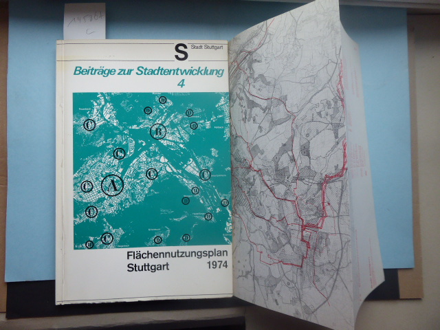
1975rif. 105213Mülheim, Aktiengesellschaft für Entwicklungsplanung, 1975. IX ü 175 S. + Tafn. 4° Quart, Halbleinen
1889rif. 12510BBerlin, 1889/1925. Original Karte, schwarzweiß, mehrfach gefaltet (8 Segmente / 19 x 12 cm), ausgefaltet 38 x 46 cm. Stärker berieben, stellenweise etwas fleckig, an den Falzkreuzen etwas perforiert und hinterlegt, Bleistiftnotizen am unteren Rand, sonst aber in Ordnung.
Original Karte, schwarzweiß, mehrfach gefaltet (8 Segmente / 19 x 12 cm), ausgefaltet 38 x 46 cm. Stärker berieben, stellenweise etwas fleckig, an den Falzkreuzen etwas perforiert und hinterlegt, Bleistiftnotizen am unteren Rand, sonst aber in Ordnung. Erfasst das Gebiet rund um (einschließlich) Bergen: Thießow, Göhren, Mönchgut, Rügischer Bodden, Zudar, Garz, Putbus, Kleiner Jasmunder Bodden, Binz etc.
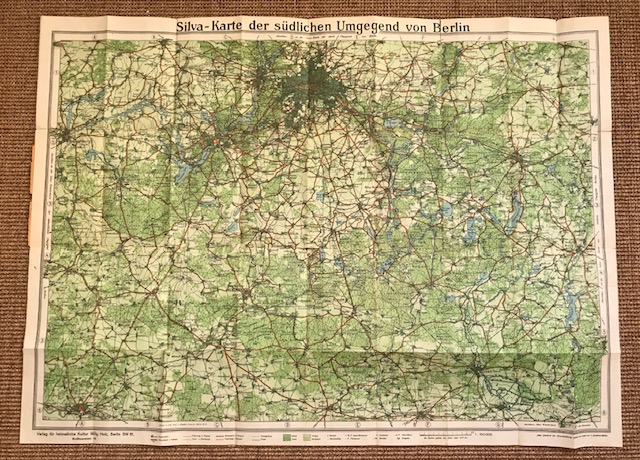
1925rif. 10920BBBerlin, Verlag für heimatliche Kultur Willy Holz, (ca. 1925). ca 65 x 90 cm. Farbig lithographierter, mehrfach gefalteter Plan., 10920bb|10920bb 2 [2 Warenabbildungen]
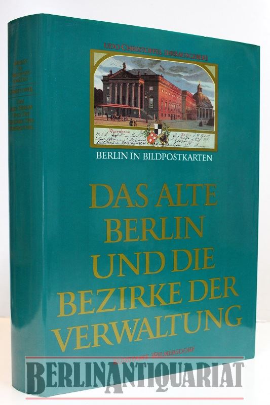
1987rif. 33612Berlin-Wimersdorf, Kunstamt Wirmersdorf, 1987. Groß 4° !!!!! Mit allein über 1500 überwiegend farbigen Bildpostkarten. 704 Seiten !!!! OriginalEinband, gebunden !!!!!!!!! Erstausgabe. Fotos aus geöffneten Exemplar !! [5 Warenabbildungen]
1989rif. 32927Nikolausdorf., ~ 1989/1990. ~ A2. Plan. [2 Warenabbildungen]
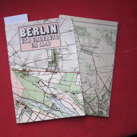
1986rif. 26542Berlin ; Leipzig : Tourist-Verlag, 1986. 24 S. : Mit 16 Abb. im Text + 18 Abb. auf Rückseite der beiliegenden mehrfarb. Karte [Maße: 85x69 cm - Faksimile] Org.-Pappdeckel, geheftet