2,711 results
1990ref. 1204411990 Editions Loubatières - 1990 - In-4, cartonnage bleu imitation cuir - 123 pages - Nombreuses illustrations et reproductions photographiques en couleurs et en N&B in et hors texte - Ouvrage en anglais
1995ref. 1272891995 Editions Gallimard, Bibliothèque de la Pléiade - 1995 - In-12, reliure pleine peau de l'éditeur, dos lisse orné de titres et filets horizontaux dorés, sous jaquette rhodoïd et emboitage illustré de l'éditeur, signés jaunes - 1488 pages sur papier Bible
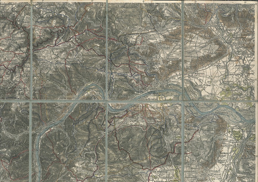
1897ref. 41463DB1897. ca. 54 x 68 cm. 12 Segmente auf Leinen aufgezogen., Abbildung
1893ref. 41462DB1893. ca. 54 x 68 cm. 12 Segmente auf Leinen aufgezogen., Abbildung
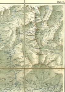
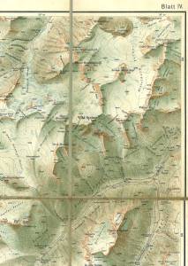
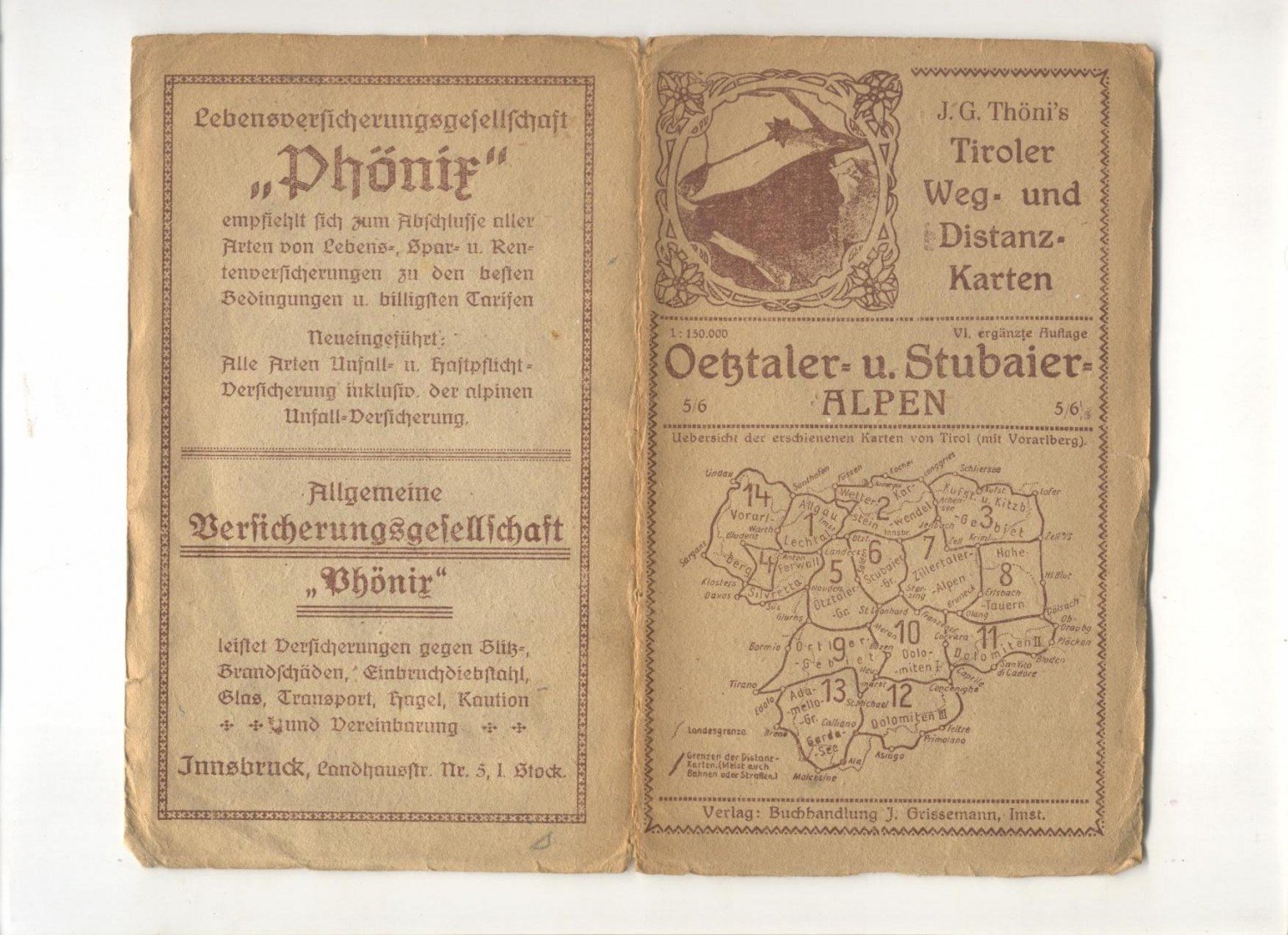
1910ref. 35401AImst:, Grissemann., [um 1910]. 19,3 x 11.8 cm, ausgefaltet: 55,5 x 55,5 cm. Original Landkarte, einseitig bedruckt, mehrfach gefaltet (15 Segmente) in Original Karton-Einband mit illustriertem Deckeltitel. 6. (4.) Auflage. Einband leicht gerändertKarte papierbedingt minimal gegilbt, Rückseite minimal fleckig. Insgesamt gut erhalten. (J.G. Thöni's Tiroler Weg- und Distanzkarten, Bl. 5 und 6).
6. (4.) Auflage. 19,3 x 11.8 cm, ausgefaltet: 55,5 x 55,5 cm. Original Landkarte, einseitig bedruckt, mehrfach gefaltet (15 Segmente) in Original Karton-Einband mit illustriertem Deckeltitel. (J.G. Thöni's Tiroler Weg- und Distanzkarten, Bl. 5 und 6). Einband leicht gerändertKarte papierbedingt minimal gegilbt, Rückseite minimal fleckig. Insgesamt gut erhalten.
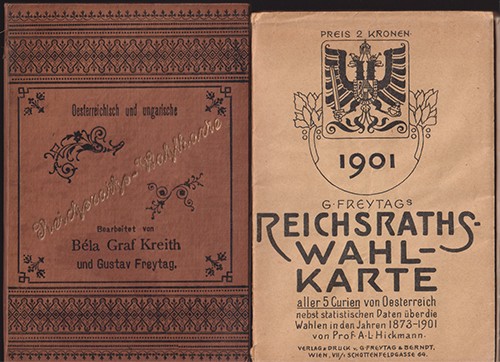
1888ref. 0777-21Wien, Freytag & Berndt (1888). 53 x 71 cm. in OLn.-Mappe. Beidseitig farb. bedruckt. Mit geogr. Karte u. verso namentlichen Verzeichnis der Reichsratsabgeordenten. Und Einteilung der Mandate im Reischsrat und Herrenhaus.
1888ref. 2806-21Freiburg i. Br., Herder [1888]. Farblith. gefalt, Karte (31 x 46 cm.).
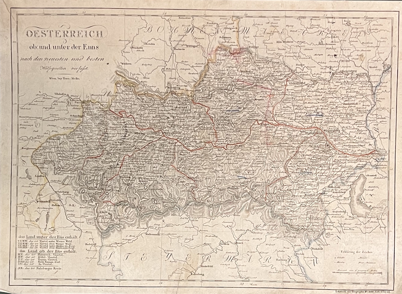
1818ref. 1152-23Wien, Tranquillo Mollo [1818/20]. Grenzkolorierte Kupferstichkarte. 35 x 47, 5 (Blattgr.); 33 x 45,2 cm. (Darstellungsgr.). Mit geglätteter, mittiger Faltspur. Etwas angestaubt und leicht randrissig. Größere Städte teils mit Farbstiftunterstreichung. Alt hinterlegter Einriss am unteren Rand.
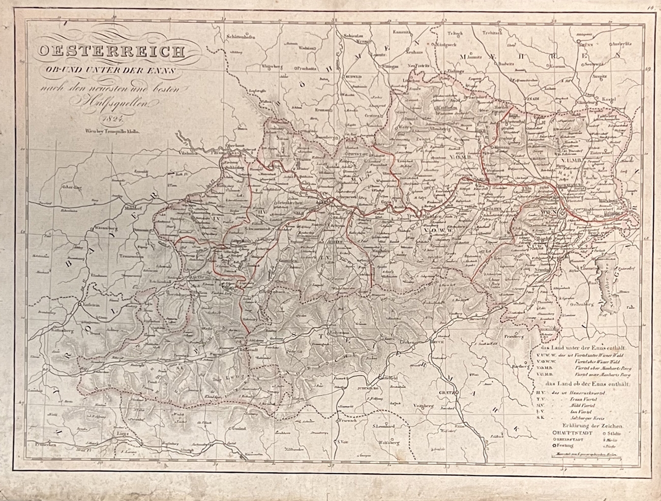
1824ref. 1144-23Wien, Tranquillo Mollo 1824. Grenzkolorierte Kupferstichkarte. 35, 8 x 47, 5 (Blattgr.); 32, 7 x 45 cm (Darstellungsgr.). Mit mittiger Faltspur. Am rechten Rand mit Gelbschnittspuren, etwas angestaubt und leicht randrissig. Größere Städte teils mit Bleistiftunterstreichung.
1892ref. 1603-18Wien, Wiener Magistrat/Kaiser 1892. 8°. 4 S., gefalt. Karte (51, 5 x 52 cm.). OKart. Mit farb. Einbandillustr. Rü. m. Leinen verstärkt. [5 Warenabbildungen]
1788ref. 55776London/Londres, 1788. Avec des Plans detailles, rediges & deffines par M. Delannoy 73 S. + Karten (19,5 cm) Halbledereinband mit Rückenschild / gebundene Ausgabe
1895ref. 12515BBerlin, 1895/1929. Original Karte, schwarzweiß, mehrfach gefaltet (8 Segmente / 20,5 x 12 cm), ausgefaltet 40,5 x 48 cm. Mit 2 Stempeln am oberen und unteren Rand, sonst guter Zustand.
Original Karte, schwarzweiß, mehrfach gefaltet (8 Segmente / 20,5 x 12 cm), ausgefaltet 40,5 x 48 cm. Mit 2 Stempeln am oberen und unteren Rand, sonst guter Zustand. Erfasst das Gebiet rundum (einschließlich) Nörenberg: Blankenhagen, Zamzow, Zuchow, Silberberg, Reetz, Konstantinopel, Schwanenbeck etc.
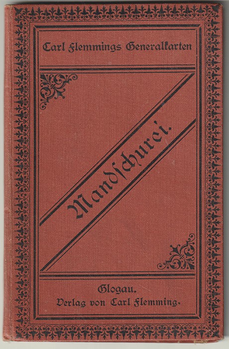
1905ref. 1053-22Glogau, Carl Flemming [ca. 1905]. Mehrf. gefalt. grenzkolorierte Karte 34, 5 x 87, 5 cm. auf Leinen gezogen. im Maßstab 1: 4.500.000. OLn. Karte geringf. stockfleckig. - (Carl Flemmings Generalkarten [45a]) Carl Flemmings Generalkarten ; [45a] [2 Warenabbildungen]
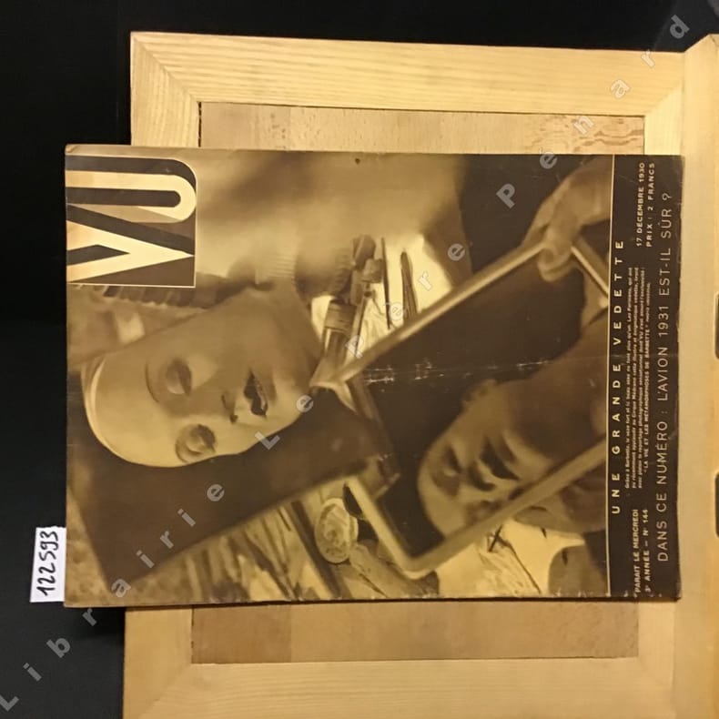
1930ref. 1225931930 3e année - N° 144 - 17 décembre 1930 - in-4 broché - revue hebdomadaire illustrée - 30 pages - parait le mercredi
1961ref. 1228491961 Editions Le Livre Contemporain - 1961 - In-8, cartonnage toilé bleu, sous jaquette illustrée signée Aslan - 256 pages - Contient un cahier photographique central en N&B
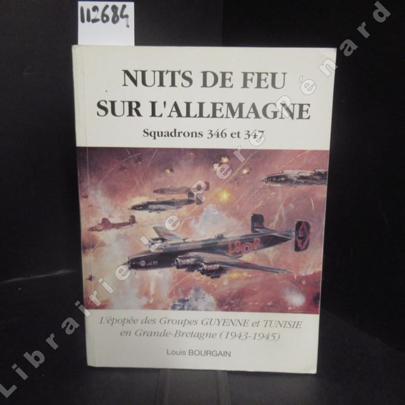
1991ref. 1126841991 Imprimerie Panda, Noisy-le-Sec - 1991 - In-8, broché, couverture illustrée - 303 p. - Reproductions photographiques in et hors texte en N&B
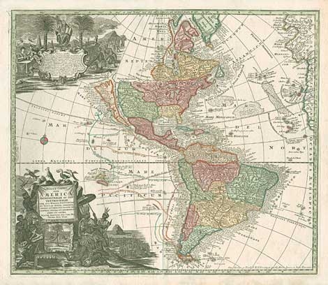
1730ref. 0516-07Augsburg [ca. 1730]. Altkolor. Kupferkarte. 50 x 56 cm. (Bildgr.) Auf altem Papier mont. Im äußerten rechten Rand stockfl. [2 Warenabbildungen]
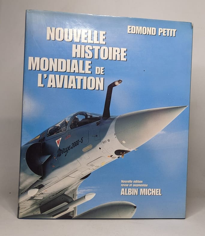
1997ref. 100110673Albin michel 1997 498 pages 25 8x4 4x30 8cm. 1997. Relié. 498 pages.
1981P., Editions maritimes & d'outre-mer, 1981. In-8 broché, 662 pages. Une marque de pliure au dernier plat, bon état par ailleurs
1981ref. 30879Paris Éditions Maritimes et D'outre-mer 1981 Fort In-8 665 pp
1834ref. 0653-06Paris, Lebigre Frères 1834. 8me. éd., revue et corrigée. Gest. Titel, Drucktitel, 2 Bll., 694 S. Mit 7 (dav. 6 gefalt.) Karten u. 6 teils handkolor. numismat. Taf. Ldr. d. Zt. m. goldgepr. Rü. u. -Schildchen. Kap. etw. berieb.
ref. 103.653Ministère des transports, Secrétariat Général à l'Aviation Civile, Service de la formation aéronautique (SFA), 1970. 18 x 22, 113 pp.,131 figures, quelques autres illustrations, 1 carte volante en fin de volume, broché, très bon état.
ref. 100.295Bruxelles, Aéro Club de Belgique, 1924. 13 x 21, 32 pp., quelques figures, broché (agrafé), bon état.