224 résultats
réf. 12713Paris, Société des Editions de "l'Officiel de la Couleur", 1952. 1 volume in folio (26 * 36 cm) sous couverture illustrée, 54 pp., très bon état.
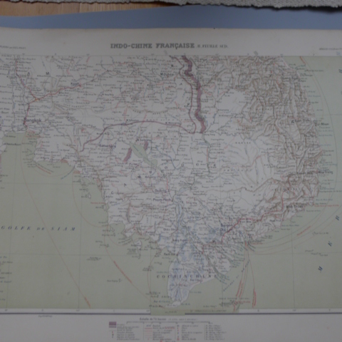
réf. 6649Paris, Armand Colin Editeur, Imprimerie Dufrenoy, 1900. 1 ensemble de 2 cartes de l'Indo-Chine (chacune 42*62 cm), publiées en 1900 dans l'Atlas des Colonies Françaises de Paul Pelet, à l'échelle de 1/2.500.000. Bon état des 2 cartes.
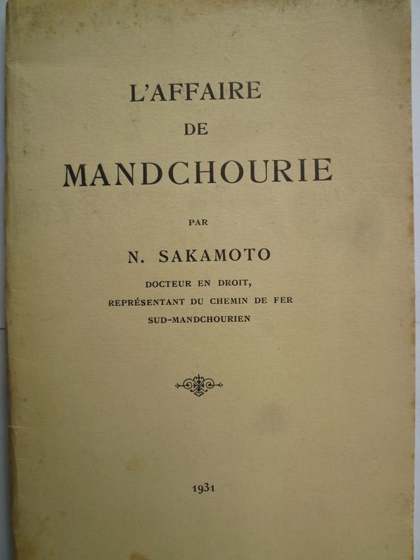
réf. 3477Paris, Librairie du recueil Sirey, 1931. 1 plaquette in-8, brochée, couverture souple, 33 pp., ornée d'une carte montrant les emplacements des forces chinoises et les groupements des bandits chinois, bon état.
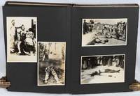
1940réf. 220264Circa1940s. Photographic album with eighty mounted black and white photographic illustrations of varying sizes a further four photographs loosely inserted. Unpaginated. Some with captions some with handwritten descriptions on the verso. 25 x 17cm. Faux leather blind stamped decorative binding a little worn on the edges the rear gutter has been neatly strengthened. Good condition. A strange and very disturbing but historically significant album of photos taken by a Japanese man before and during the Asia-Pacific War. Some photos have been removed from the album but those remaining include family images and school photos taken at the 80th anniversary of Takefumi Higashi Junior School in Echizen City Fukui Prefecture Japan in 1951. A set of five photos stamped with the mark of "E. Tsukio" and the place name Takefumi Higashi show the aftermath of an exceptionally heavy snowfall. The photographs in this album seems to be associated with a family surnamed Hiroba as a number have handwritten notations on the back bearing the names of various individuals with that surname. The album includes a set of commercially produced photographs of the aftermath of the 1923 Great Kanto Earthquake including grim images of piles of bodies of earthquake victims. These are annotated as having been a present from a man named Hiroba Shigenobu. A photo at the rear of the album shows a photo of a Japanese army officer with sword and medals and is annotated "Hiroba Shigeharu 6 October 1940 on the eve of the third expedition to Manchuria given by Takeda Fumio". Next to this is a set of commercially produced photographs of Port Arthur focusing on the monuments to the 1905 Japanese victory there in the Russo-Japanese War. These monuments were a popular tourist attraction for Japanese people visiting Manchuria before or during the Asia-Pacific War. There are also numerous original photos taken in Harbin and the surrounding area mostly in March and April 1941. These include pictures of the streetscape of Harbin and local people participating in an ice festival on the river but also of Japanese military actions in the area - setting up an observation post transporting goods by horse-cart etc. One photo shows the range of cigarette brands available for sale in wartime Harbin. Four photos show a ceremony celebrating the establishment of the "Shimizu Unit no. 24" in Northeast China. The celebrations included a sumo wrestling competition and a party where Japanese troops were entertained by Chinese "beautiful geisha" raising the disturbing spectre of the recruitment of "comfort women" by the wartime Japanese military. More shocking still are nine photos of beheadings and other acts of extreme violence being perpetrated on people during the war in China. The precise locations of these scenes are unclear. Some of the photos appear to have been commercially produced as they contain title inscriptions in within the print but others may be original. One titled photo shows "the heads of bandits being transported by train". A haunting reminder both the horrors of war and of the way in which these can be interwoven into apparently normal family lives. . hardcover
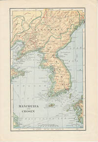
1900réf. 174813London. Circa1900. Map printed in colour showing submarine and overland telegraphs Manchuria Chosen Liao-Ting Kirin and Chili 21.5 x 13.3 cm 25.7 x 17.1 cm sheet size margins a little scuffed in very good condition. . unknown
1910réf. 151371910. Very good. B&w photo taken by the photographer Digby Bassett who traveled widely in Siberia and was the author of 'Mammoth and Mammoth Hunting'. Bassett studied and photographed mammoths as they thawed from glaciers. The photograph shows the governor general out of doors with a brick edifice in the background receiving visitors; on the verso is a handwritten explanatory note & signature of the photographer. 5 3/4 x 3 3/4" unknown
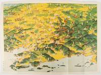
1932réf. 220844東京. Tokyo.: 大日本雄弁会講談社. Dainihon Yūbenkai Kōdansha. Showa 7 1932. Attractive colour folding bird's-eye view map with black and white photographic illustrations on the reverse. 39 x 53.5cm. Very good condition. This colourful bird’s-eye view map of Manchuria by Ito Kikuzo 1901–1985 a popular graphic artist in the early Showa period covers the entire region showing railway lines cities local produce and natural resources. Although a few small human figures appear the map largely presents Manchuria as a treasure trove of agricultural produce and natural resources. The reverse features agricultural produce and natural resources including soya beans sheep and coal with accompanying explanations. A list of products at the lower left reinforces this emphasis on Manchuria’s abundant resources while making no mention of its inhabitants. . 大日本雄弁会講談社. [Dainihon Yūbenkai Kōdansha]. unknown
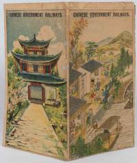
1921réf. 177452Chinese Government Railways. 1921. Doublesided broadside sheet 36 x 39cm folding to 7 x 4 inches colour lithographic covers black and white map and photographic illustrations. Wear along some folds with three small spots of paper loss along one fold which has been neatly repaired with archival material age toning to sheet still good or better condition. The opened sheet shows a map of Northern China Manchuria and Japan with the Chinese Government Railways in red and other connecting lines; the map is surrounded by photographic illustrations of various tourist spots. On the verso is further information about the different railways and day excursions. An uncommon publication. . Chinese Government Railways. unknown
réf. 9494Published and distributed by the East Asian Research Center, Harvard University, Cambridge, December 1963. 1 volume in-quarto, 252 pp., hard covers with cloth binding, typed text, a very good copy. Stamp of Irwin Hyatt Jr from the Harvard-Yenching Institute.
réf. 9495Published and distributed by the East Asian Research Center, Harvard University, Cambridge, December 1965. 1 volume in-quarto, 201 pp., hard covers with cloth binding, title page soiled but content clean, typed text, a good copy. Stamp of Irwin Hyatt Jr from the Harvard-Yenching Institute.
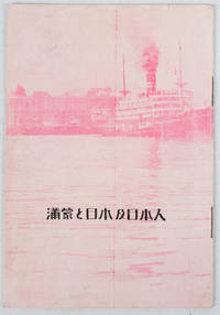
1933réf. 171122Circa1933. Map in text with outline colour graphs black and white mainly photographic illustrations 16pp original pictorial wrappers. Very good copy. 18.9 x 12.8cm. This booklet argues the importance of Manchuria and Inner Mongolia for Japan and its people as a new frontier for migration and development. It points out that the development of railway networks and in agricultural production should be of benefit for not only for Japan and its migrants but also for Manchuria through its growth prosperity and stable governance. It seems likely this booket was published a few years after the Manchurian Incident when Japan was keen to expand its influence and rights throughout the area. . unknown
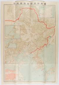
1904réf. 216818東京. Tokyo.: 電報新聞社. Denpō Tsūshinsha. Fifth Edition. Meiji 37 1904. Colour folding map with four inset maps 78.2 x 54.5cm folds into light card covers measuring 21 x 14cm. Very good copy. This the fifth edition of this map was published on 7th June 1904 reflecting the high level of public interest in receiving up-to-date information on the war particularly while the siege of Port Arthur continued without a decisive Japanese victory. The map includes four inset maps among them detailed views of Port Arthur and Vladivostok. It also records distances between key ports in Japan Korea and China. . 電報新聞社. [Denpō Tsūshinsha]. unknown
réf. 15156Gotha: Justus Perthes Geographical Institute. Adolf Stieler 1775-1836 was a German cartographer at the Justus Perthes Geographical Institute in Gotha. Color map includes Mongolia in the south and Japan to the east. Mounted on linen with damp stains to the linen which do not penetrate the map o/w very good. 19 x 15 1/2" Justus Perthes Geographical Institute unknown
réf. QWA-16699L. Fournier, 1910, in-8 br. (14 x 22,5), VIII-139 p., 3 planches dépl. placées dans une pochette contrecollée, dos fortement passé, intérieur frais, bon état.
réf. QWA-16700L. Fournier, 1912, in-8 br. (14 x 22,5), X-139 p., 4 planches dépl., dos un peu passé, intérieur frais, bon état.
réf. 2639Paris, Editions Bossard, 1922. 1 volume in-8, 155 pp., broché, illustré de nombreuses gravures sur bois in texte, bon état général.
1925réf. 027144New York 1925 Robert M. McBride & Co Hardcover
réf. 7079Paris, Les Editions du Monde Moderne, 1930. 1 volume in-12, 301 pp., broché, couverture souple imprimée, léger jaunissement du papier, bon état.
1844réf. 437201844 1 vol fort in-8 - demi basane brun clair - recueil périodique des lettres des évêques et des missionnaires des missions des deux mondes et de tous les documents relatifs aux missions et à l'œuvre de la propagation de la foi. - Années 1844 et 1845 - Tome seizième et dix-septième à Lyon chez l'Editeur des Annales - 1844 et 1845 - 536 et 536 pages
réf. 12021Tokyo, Z.P. Maruya & Cie, Libraires-Editeurs, 1887. 1 volume in-16, reliure pleine toile brune, 20 pp. +324 pp. (manquent les pages 319 à 322) 4 pages missing), bon état, malgré une lègère trace d'humidité sur les tranches. Incomplete (4 pages missing)
1977réf. 32331Paris Pygmalion 1977 In-8 réédition, traduction par pierre Wolkonsky
1934réf. 184971934 Paris, Payot, 1934, in 8° broché, 330 pages ; couverture illustrée (très légèrement fanée).
1952réf. vh3901Payot Bibliothèque Géographique Broché 1952 In-8 (14 x 22,2 cm), broché, 254 pages, illustrations en noir inet hors texte ; pliures au dos, quelques rousseurs éparses, bon état général. Livraison a domicile (La Poste) ou en Mondial Relay sur simple demande.
1938Payot 1938, In-8 broché, 272 pages. Avec 38 dessins de l'auteur. Bon état.
1932réf. X42311Paris, Payot 1932 222pp., dans la série "Bibliothèque politique et économique", reliure cart. (dos en toile, avec titre doré), cachet, 22cm., bon état, X42311