COLOMB, M. L. de.Livre Rare Book

1 622 résultats
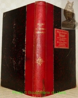
1858réf. 1441Alger et Paris, Imprimerie du Gouvernement, Librairie Algérienne de Dubois Frères, Challamel, 1858. In-8 - 17x24,5cm. Broché (une chemise légèrement cartonnée postérieure protège l'ouvrage). 63pp, 1 carte dépliante in fine. Edition originale.Complet de sa carte dépliante de l'itinéraire suivi par M. le Capitaine L. de Colomb, dans sa tournée d'exploration du sud, levée et dessinée par M. de La Ferronnay, officier stagiaire du Bureau Arabe de Geryville. Très rare.
réf. 101740Paris, Pierre Lafitte & Cie. 1911, 280x200mm, frontispice, V - 371pages, reliure demi-chagrin avec titre et auteur dorés au dos. Plats papier marbré. Cachet de bibliothèque sur la page de titre, autrement bon état. Intérieur propre.
1979réf. KOS02900018Kodansha 1979. Soft Cover. Fine. KOS02900018 Kodansha paperback
2007réf. 66483[München] : Malik 2007. 281 S. : 83 Illustrationen. ; 20 cm, mit Schutzumschlag Top Zustand, Pp., gebundene Ausgabe, Hardcover/Pappeinband, Exemplar in sehr gutem Erhaltungszustand
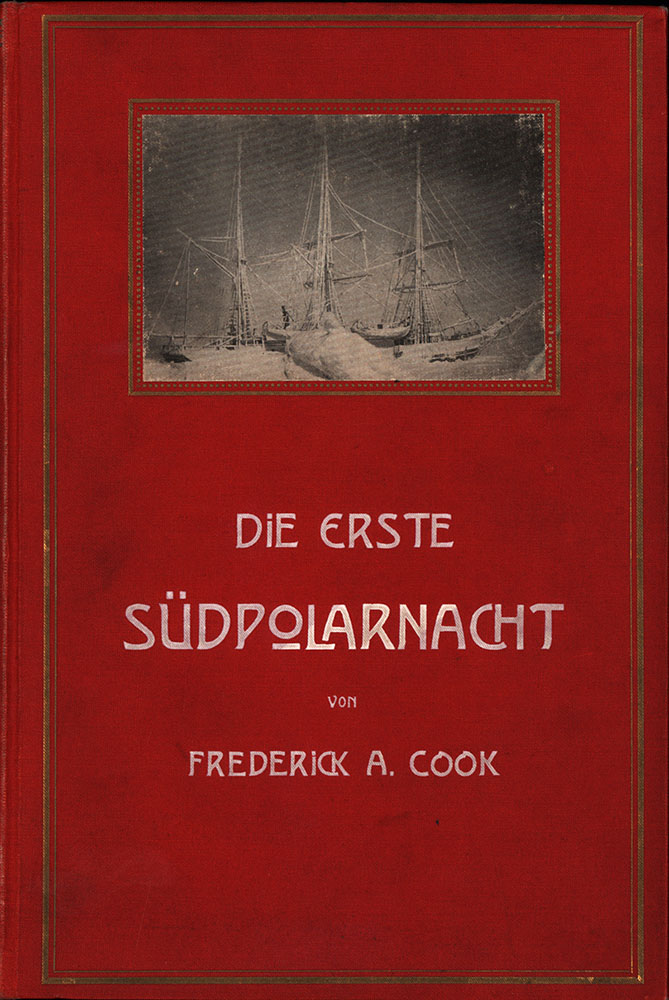
1903réf. 3013FBKempten, Kösel Verlag, 1903. Groß-8°. 23 x 15,5 cm. XXIV, 419 Seiten. Frontispiz und zahlreiche Tafeln. Roter Original-Leinenband mit montierter Deckelabbildung, weiß- und goldgeprägten Titeln und Buchschmuck, marmoriertem Schnitt und illustrierten Vorsätzen. [2 Warenabbildungen]
1790réf. E00534 of 6 volumes. Volume 1: i-ix-372 pages with 23 plates including frontispiece plate of Cook and 4 folding maps; Volume II lacking; Volume III: 793-1184 pages with 11 plates including frontispiece of Possession Bay and 5 fold out maps; Volume IV: 1185-1546 pages with 26 plates including frontispiece of Woman Child and Man of Van Diemen's Land and 6 folding maps; Volume V: 1547-1938 pages with 30 plates including frontispiece of A View of Huaheine and 8 folding maps; Volume VI lacking. Octavo 8 1/2" x 5 1/2" bound in original full leather with red labels to spine with gilt lettering. Abridged by George William Anderson. An earlier Large folio edition by Anderson was published earlier. This edition originally issued in 80 weekly parts and also called the Large octavo edition. M K Beddie: 39 First edition of the bound edition. Captain James Cook RN was a British explorer navigator and cartographer ultimately rising to the rank of Captain in the Royal Navy. Cook made detailed maps of Newfoundland prior to making three voyages to the Pacific Ocean during which he achieved the first European contact with the eastern coastline of Australia and the Hawaiian Islands as well as the first recorded circumnavigation of New Zealand. Cook joined the British merchant navy as a teenager and joined the Royal Navy in 1755. He saw action in the Seven Years' War and subsequently surveyed and mapped much of the entrance to the Saint Lawrence River during the siege of Quebec. This helped bring Cook to the attention of the Admiralty and Royal Society. This notice came at a crucial moment both in his personal career and in the direction of British overseas exploration and led to his commission in 1766 as commander of HM Bark Endeavour for the first of three Pacific voyages. Cook charted many areas and recorded several islands and coastlines on European maps for the first time. His achievements can be attributed to a combination of seamanship superior surveying and cartographic skills courage in exploring dangerous locations to confirm the facts for example dipping into the Antarctic Circle repeatedly and exploring around the Great Barrier Reef an ability to lead men in adverse conditions and boldness both with regard to the extent of his explorations and his willingness to exceed the instructions given to him by the Admiralty. Cook was killed in Hawaii in a fight with Hawaiians during his third exploratory voyage in the Pacific in 1779. Condition: Lacks volume II and VI. First signature of volume one loose inner hinges cracked some interior soiling spine ends and corners of leather rubbed some scuffing to leather else a good set. Printed for A Millar, W Law, and R Cater hardcover
1790réf. E00534 of 6 volumes. Volume 1: i-ix-372 pages with 23 plates including frontispiece plate of Cook and 4 folding maps; Volume II lacking; Volume III: 793-1184 pages with 11 plates including frontispiece of Possession Bay and 5 fold out maps; Volume IV: 1185-1546 pages with 26 plates including frontispiece of Woman Child and Man of Van Diemen's Land and 6 folding maps; Volume V: 1547-1938 pages with 30 plates including frontispiece of A View of Huaheine and 8 folding maps; Volume VI lacking. Octavo 8 1/2" x 5 1/2" bound in original full leather with red labels to spine with gilt lettering. Abridged by George William Anderson. An earlier Large folio edition by Anderson was published earlier. This edition originally issued in 80 weekly parts and also called the Large octavo edition. M K Beddie: 39 First edition of the bound edition. Captain James Cook RN was a British explorer navigator and cartographer ultimately rising to the rank of Captain in the Royal Navy. Cook made detailed maps of Newfoundland prior to making three voyages to the Pacific Ocean during which he achieved the first European contact with the eastern coastline of Australia and the Hawaiian Islands as well as the first recorded circumnavigation of New Zealand. Cook joined the British merchant navy as a teenager and joined the Royal Navy in 1755. He saw action in the Seven Years' War and subsequently surveyed and mapped much of the entrance to the Saint Lawrence River during the siege of Quebec. This helped bring Cook to the attention of the Admiralty and Royal Society. This notice came at a crucial moment both in his personal career and in the direction of British overseas exploration and led to his commission in 1766 as commander of HM Bark Endeavour for the first of three Pacific voyages. Cook charted many areas and recorded several islands and coastlines on European maps for the first time. His achievements can be attributed to a combination of seamanship superior surveying and cartographic skills courage in exploring dangerous locations to confirm the facts for example dipping into the Antarctic Circle repeatedly and exploring around the Great Barrier Reef an ability to lead men in adverse conditions and boldness both with regard to the extent of his explorations and his willingness to exceed the instructions given to him by the Admiralty. Cook was killed in Hawaii in a fight with Hawaiians during his third exploratory voyage in the Pacific in 1779. Condition: Lacks volume II and VI. First signature of volume one loose inner hinges cracked some interior soiling spine ends and corners of leather rubbed some scuffing to leather else a good set. Printed for A Millar, W Law, and R Cater hardcover books
1836réf. 19113Philadelphia: Carey Lea & Blanchard 1836. Volume II only. Purple cloth heavily sunned along spine and outer margins. Paper label intact on spine though somewhat scuffed. Corners bumped and rubbed. No ownership or any other markings. Scattered foxing throughout. Sound binding. 239pp. The author's 1828 travelogue of Switzerland. First Edition. Hardcover. Good/No Dust Jacket. 8vo - 8" - 9" Tall. Carey, Lea & Blanchard Hardcover
réf. 135567Paris, Baudinière, 1940 in-8, 349 pp., illustrations h.-t., toile lie de vin, couv. cons.
1911réf. biblio31First Edition Paris Ernest Leroux 1911; in-4 XV 254 pp. broché couverture illustrée dos insolé couverture tachée et fatiguée. Numa Broc pp. 92-95. Édition originale illustrée de 34 feuillets de planches et de 4 cartes. Augustin Cottes 1871-1913 officier et explorateur a partagé équitablement ses activités entre les deux pôles de l'Empire colonial français l'Indochine et l'Afrique noire. En 1905-1906 revenu en Afrique après 4 ans passés en Indochine "il prend part aux travaux de délimitation de la frontière entre le Congo français et le Cameroun allemand. Second de la mission Moll il est spécialement chargé du tracé de la frontière sud du territoire allemand. En compagnie du Capitaine Forster qui dirige la délégation allemande Cottes part de Ouesso sur la Sangha et par les vallées du Ngoko de l'Ivindo et du Rio Campo gagne le rivage de l'Atlantique. Au passage de nombreux points astronomiques sont calculés le cours des rivières est précisé sur les cartes les limites théoriques tracées par le Dr Cureau en 1900 sont remplacées par des lits de rivières. Please contact me ramrozzi@yahoo.fr Ernest Leroux paperback
réf. 97331aafNew York, Dover Publications, 1965, in-8vo, CXXXII + 352 p. + ca. 24 p. Catalogue of Dover books + 1 map/ VI + p. 353-820 + ca. 16 p. Catalogue of Dover books + 1 map/ VI + p. 821-1364 + ca. 18 p. Catalogue of Dover books, orig. illustr. paperbacks. Fine.
1974réf. 6103Stuttgart : Dt. Bücherbund, [1974]. 304 S. : 162 Ill. (z. T. farb.) 4°. OLwd mit SU. (Knaurs Geheimnisse und Rätsel des Meeres)
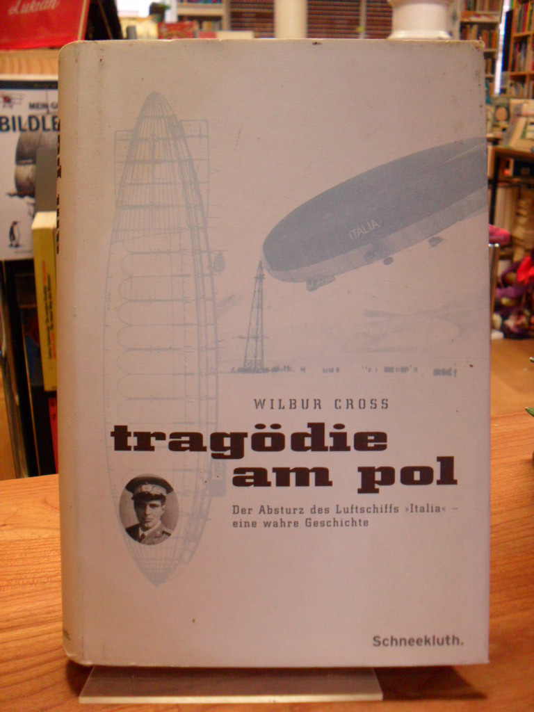
2001réf. 4920CBMünchen, Schneekluth Verlag, 2001. 8°, 296 S. mit s/w-Abbildungen und Karten auf den Vorsatzseiten, original Pappband (Hardcover) mit original Schutzumschlag, deutsche Erstausgabe leicht schief, Schutzumschlag minimal berieben und ein wenig fleckspurig, Schutzumschlagskanten zum Teil etwas beschabt, sonst gutes, sauberes Exemplar (Re08)
1871réf. 56561Edinburgh: Edmonston and Douglas 1871. First Edition. Hardcover. Good Solid Copy Clean No External Markings Hand Stamp Of Clinton Hall Merchantile Library 1855-1932 formerly The Aster Place Opera House 13 Astor Place New York City Small Loss At Fore Corners Of Front Cover Hinges Reinforced Fore Edge Chipping To Page Edges. Octavo Green Blind Stamped Pebbled Cloth. Tissue Guarded Color Frontis Folding Color Map Chart Of Patagonia Twenty Total Plate Engravings Several Colorized. Dedication To Joseph Dalton Hooker Edinburgh: Edmonston and Douglas hardcover
réf. DADAX0548160902New unknown
1878réf. 3926DBStuttgart, E. Schweizerbart'sche Verlagshandlung (E. Koch), 1878. Groß-8°. 23 cm. X, 497, X, 540 Seiten. Halbleinenbände mit goldgeprägtem Rückentitel. (= Ch. Darwin's gesammelte Werke. Autorisirte deutsche Ausgabe. Band 3 und 4).
1877réf. 3932DBStuttgart, E. Schweizerbart'sche Verlagshandlung (E. Koch), 1877. Groß-8°. 23 cm. VIII, 459 Seiten. Einfacher Halbleinenband der Zeit mit goldgeprägtem Rückentitel. (= Ch. Darwin's gesammelte Werke. Autorisirte deutsche Ausgabe. Band 10).
1876réf. 3933DBStuttgart, E. Schweizerbart'sche Verlagshandlung (E. Koch), 1876 und 1877. Groß-8°. 23 cm. XIV, 231, VIII, 176 Seiten. Neuerer Halbleinenband mit goldgeprägtem Rückentitel. (= Ch. Darwin's gesammelte Werke. Autorisirte deutsche Ausgabe. Band 11. Erste und zweite Hälfte).
réf. 1947AMYOT , broché , bon état , tome 1 seul , 431 pages , sans date ( 1860 à 1880 environ )
réf. 16549, Brussel, Paleis der Academien, 1961, onder papieromlag, 180 x 270mm., 15pp.
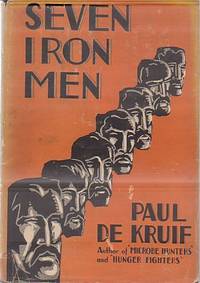
1929réf. 12469New York: Harcourt Brace. Very Good in Very Good- dust jacket. Hardcover. Moderate wear and small open tears to price clipped DJ.; About the Merritt family who prospected for iron. Very nicely INSCRIBED by the author on title page with black fountain pen dated 1931.; B&W Photographs; 8vo 8" - 9" tall; 241 pages . 1929. Harcourt Brace hardcover
1763réf. P2-7B-14Paris, Guillyn, 1763. In-12 (17x10) relié plein veau époque, dos à nerfs orné, pièce de titre, XXXVI-380pp-2ff. Illustré de figures dans le texte. Carte dépliante en déficit , un cahier mal placé (p168-192 relié p.216)
réf. 97616Hermann Actualités Scientifiques et Industrielles Hermann & Cie Editeurs, Actualités Scientifiques et Industrielles 1180, 1952, 142 p., XXVI planches hors-texte + 1 carte dépliante, broché, avec un court envoi de l'auteur, dos en partie décollé, des déchirures sur la carte dépliante (dont le coin supérieur externe manquant), bon état pour le reste.
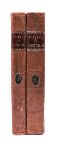
1790réf. 029884London: J. Johnson 1790. Volume I: folding map xvi 283 pages; volume 2: viii 408 pages. De Lesseps accompanied La Perouse on the first part of his attempted circumnavigation of the globe. After investigation of the west coast of North America La Perouse sent de Lesseps overland to take the journals and maps of the expedition to Paris. La Perouse and his ships subsequently were lost after they left Australia and the journals carried by de Lesseps assumed great historical significance when published. Even more scarce than those records today are de Lesseps' report of his own overland travels through the Kamtschatka peninsula. The report also includes 25 pages of vocabulary translating common English words into Russian Kamtschadale Koriac Tchouktchi and Lamont languages. Internally clean with only minor foxing the two volumes in 3/4 leather over marbled paper covered boards have recently been sympathetically rebacked original title and volume patches retained. Very attractive example of a quite scarce title. Howes L269 Howes & Hartley rate this item dd "superlatively rare". First English Language Edition. Hardcover. Collectible-Very Good . 8vo - over 7¾" - 9¾" tall. Book. J. Johnson hardcover
réf. 2324journal de l’expédition édité par les soins de la veuve de l’auteur Madame Emma DE LONG, traduction de l’anglais par Frédéric BERNARD. In 8 demi chagrin rouge à nerfs titre et caissons dorés plats percaline.Faux-titre, frontispice,titre,IV 686 pages, tranches dorées,gravures dans et hors-texte 9 cartes dont une grande dépliante(déchirures de manipulation réparées)Hachette 1885.rousseurs éparses habituelles