[NAVIGATION - RED SEA - PILOT GUIDE].Biblio.com
3 377 résultats
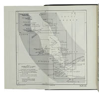
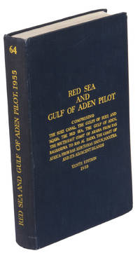
1955réf. ABC_47446London 1955. 8vo. Published for the Hydrographic Department Admiralty Original blue cloth with yellow lettering on the spine and the front board the supplement is loosely inserted at the end of the volume: original printed paper wrappers stapled. With a folding map printed on both sides 2 coloured plates with diagrams printed on both sides 28 plates showing coastlines and occasionally a map many printed on both sides and many some illustrations in text. 2 LI = LIII: II plus 1 1 blank 1 blank 518 1 1 blank pp; Supplement: 20 pp. The essential standard sailing directions for the Red Sea and Gulf of Aden corresponding with zone NP64 on the official Admiralty charts. These nautical works - pilot guides and charts - were published by the United Kingdom Hydrographic Office which provides the necessary hydrographic and marine geospatial data to all kinds of maritime organisations across the world. The publications are not only used by the British Royal Navy but can also be found on board the majority of international merchant ships. The data provided in the pilot guides and other publications are compliant with SOLAS the Safety of Life at Sea treaty guidelines and are updated constantly in weekly "Notices to mariners" and supplements to and new editions of the pilot guides whenever necessary.The present copy is the 10th edition 1955 of the pilot guide with sailing directions and other information on the weather currents radar ranges etc. relating to the Red Sea and Gulf of Aden including the supplement issued in 1957. It includes an erroneous "advertisement to the eight edition" by the Hydrographer of the Navy Rear-Admiral Kenneth St Barbe Collins 1904-1982. The advertisement states that with the publication of "the ninth edition" presumably this volume the previous edition and its supplements are cancelled since the most up-to-date information has been compiled in the new edition and the weekly "Notices to mariners" that appeared after the publication of the 11th edition. The 10th edition of 1955 and its 1957 supplement were made redundant with the publication of the 11th edition in 1967. Each subsequent edition of the pilot supersedes the last which have appeared infrequently depending on newly available information from the mid-19th century until the present day.The front paste-down and recto of the first free endpaper contain a "caution" notice and room for the notation of "supplements and annual summaries of notices to mariners relating to this book" the first two pages are printed on red-pink paper. The binding shows minor signs of wear around the spine and corners of the boards the gutter after page II is somewhat weakened the head edge of the wrappers of the supplement are very slightly browned. Otherwise in very good condition. hardcover
1967réf. ABC_46470London: United Kingdom Hydrographic Office 1967. Grey-blue back wrapper; the two quires map and back wrapper held together by two metal staples. Blue cloth with title information in yellow on front cover and spine the supplement loosely inserted at the end of the volume. Large 8vo. The main work with 3 maps including 2 folding and 82 views of coastal profiles on 52 plates. The supplement with 2 folding maps on the two sides of a single folding leaf and 4 views of coastal profiles on 3 pages. With: NAVIGATION - RED SEA - PILOT GUIDE. Supplement No. 7 - 1977 to Red Sea and Gulf of Aden pilot eleventh edition 1967 corrected to 4th March 1977 Whenever reference is made to the pilot this supplement must be consulted.London United Kingdom Hydrographic Office 1977. The essential standard sailing directions for the Red Sea and Gulf of Aden corresponding with zone NP64 on the official Admiralty charts. These nautical works - pilot guides and charts - were published by the United Kingdom Hydrographic Office which provides the necessary hydrographic and marine geospatial data to all kinds of maritime organisations across the world. The publications are not only used by the British Royal Navy but can also be found on board the majority of international merchant ships. The data provided in the pilot guides and other publications are compliant with SOLAS the Safety of Life at Sea treaty guidelines and are updated constantly in weekly "Notices to mariners" and supplements to and new editions of the pilot guides whenever necessary.The present copy is the 11th edition 1967 of the pilot guide with sailing directions and other information on the weather currents radar ranges etc. relating to the Red Sea and Gulf of Aden including the supplement issued in 1977. The first two pages are printed on red-pink paper. Binding slightly rubbed and faded board edges very slightly soiled fore-edge of the supplement slightly frayed. Overall in good condition. United Kingdom Hydrographic Office, hardcover
1955réf. K3CC18ANEAK3London: published by the Hydrographic Department Admiralty 1955. Original blue cloth with title on spine and front board; supplement with original printed paper wrappers. 8vo. With a folding map printed on both sides 2 coloured plates with diagrams printed on both sides 28 plates showing coastlines and occasionally a map many printed on both sides and many some illustrations in text. Including: Supplement no. 1-1957 relating to the Red Sea and Gulf of Aden pilot tenth edition . Tenth edition of a work "comprising sailing directions for the Suez canal the Gulf of Suez and the central track for power vessels through the Red sea Straits of Bab-al-Mandab and Gulf of Aden ." p. III and more areas. Besides navigation it deals with the climate weather and ocean streams of the area. The first chapter also gives and "general description of countries bordering the Red sea and Gulf of Aden" p. V. Including two copies of the supplement. Spine slightly discoloured otherwise in very good condition. published by the Hydrographic Department, Admiralty, hardcover
1944réf. X117980London, Hydrographic Department, Admiralty 1944 xxxiv + 528pp. + plates out of text (photos, figures, maps), 9th edition, publisher's hardcover in cloth (some traces of use at spine), 25cm., text and interior are clean and bright (except for few pen/cil strokes in the margin of text on few pages), [added: Supplement no.1-1946, 11pp.], X117980
Madrid, Polifemo, 1993. 4to. alargado; 215 pp., 3 hs. Cubiertas originales.
réf. 60-02704Pan American Navigation Service. Paperback. New. . Pan American Navigation Service paperback
1979réf. 91711979 Paris, Editions du Pen-Duick, 1979. Un volume in-8 broché, couverture illustrée, 238 pages, ill. en n&b. Couverture légèrement défraîchie, bon état.
2017réf. Gyan-9789353153700Facsimile Publisher 2017. Hardcover. New. 28.94 x 22.59 x 2.27 cm. English Facsimile Publisher hardcover
2017réf. Gyan-9789353153700Facsimile Publisher 2017. Hardcover. New. 28.94 x 22.59 x 2.27 cm. English Facsimile Publisher hardcover
1854131p. XLib stamp on title page. 8vo. Original full leather binding, gold lettered. Edges of boards ruled in gold. Front board detached. Spine worn. Hardbound. Scarce. **PRICE JUST REDUCED! NAVAL/2
réf. 1001Relevé des chemins de fer belges, Lignes de bateaux à vapeur de la Meuse, de la navigation à vapeur en Belgique, des chemins de fer hollandais et du Grand Duché du Luxembourg, Hollande, navigation à vapeur Meuse et Escaut, du Rhin, Bassin du Rhin, Hollande navigation maritime, Chemins de fer allemands, Alsace Lorraine, Chemins de fer prussiens - rel. toile - in-folio
1947réf. CCC-967105. edition janvier 1947 ( january 1947 edition), in-4 ( 24 cm X 15,5cm), livre bilingues français /anglais, 127 pages, broche, bon etat general, photos possibles
réf. 201905944S.l., Commision centrale pour la navigation du rhin, s.d. ; in-8, broché, couverture illustr (plats salis). Suivi des prescriptions concernant les Rades du Rhin.
1952réf. C87264London: Peninsular And Oriental Steam Navigation Company 1952. First Edition. Hardback. No Dust Jacket. Hardcover Hardcover. Very Good. First Edition. Hardback. No Dust Jacket. 8vo. pp 90. Original publisher's full faux black leather boards lettered gilt on front cover. Clean very good indeed. Peninsular And Oriental Steam Navigation Company, hardcover
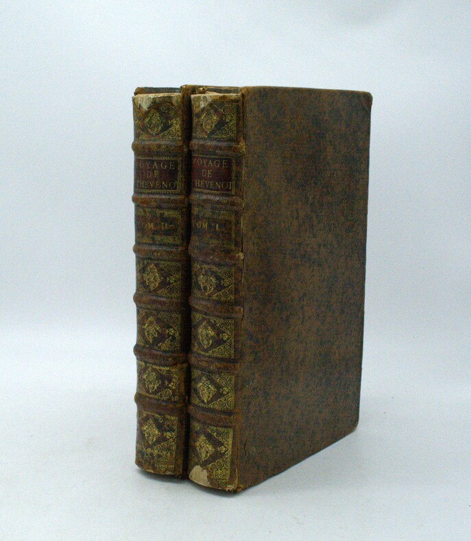
1696réf. PHO-1981Paris, Thomas Moette, 1696 ; 5 parties en 2 vol. in-folio (37x23,5cm), veau marbré, dos à nerfs richement orné de motifs dorés avec tomaison et pièce de titre grenat, quelques frottements, charnières fendillées, manque au dos, coins usés, coiffes absentes, 8 feuillets détachés, rousseurs, qlqs feuillets brunis. L’illustration comporte de nombreuses gravures et illustrations dans et hors texte, 6 cartes dont la carte de l’Indostan, de la Colchide, du Japon (qui regarde l’Amérique), carte de la route du voyage de Canton à Péking, carte de l’Éthiopie, carte de l'Éthiopie ["Entrée de quelques ports…"]. Il manque la Carte de Bassorah, les 2 planches de caractères Chaldéens, la carte de l’Australie, la carte des côtes d’Arabie et d’Asie, la carte des Costes de Sierlionne, la carte des Philippines et Chine, la carte de Chine
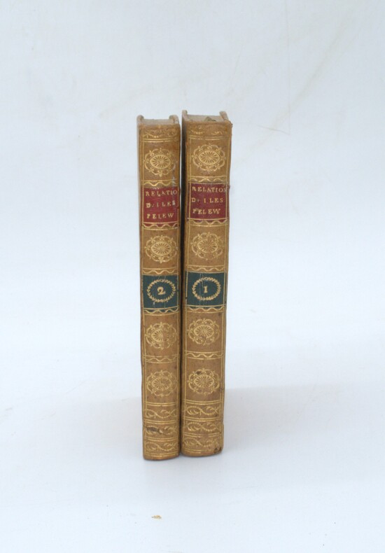
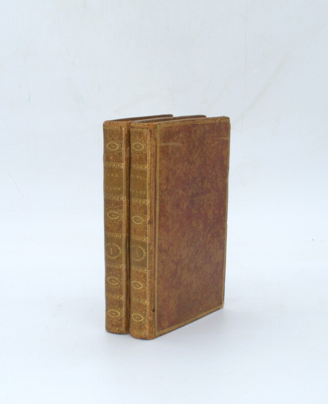
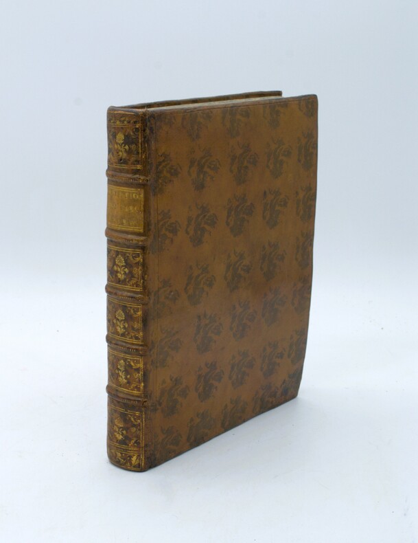
1793réf. PHO-2399Paris, Maradan, 1793. 2 vol. in-8 (19,5× 12,5 cm), 2ff.-280pp. & 2ff.-272pp., demi-basane fauve mouchetée, dos lisses ornés, pièces de titre rouges et de tomaison vertes (reliures de l’époque). Plats frottés, petites taches et rousseurs
1793réf. PHO-2402Paris, Maradan, 1793. 2 volumes in-8 (20 x 12,5 cm), 2ff.-280pp. & 2ff.-272pp., veau porphyre, dos lisse orné avec titre et tomaison, triples filets aux plats, tranches jaspées. Petits frottements, 2 coins usés, 1 cahier bruni, déchirure au pli de la grande carte.
1788réf. PHO-1658Paris, Le Jay & Maradan, 1788, in-4, relié plein veau moucheté époque, dos à nerfs avec pièce de titre, XIV-(1)-384 pp., illustré d’un frontispice ,1 gde carte h.-t. et 14 pl. h.-t., petit travail de ver en marge sur 3 feuillets.
1793réf. PHO-1089Paris, Maradan, 1793. 2 volumes in-8 (20 x 12,5 cm), veau moucheté, roulette dorée en encadrement, dos lisse orné, pièces de titre et de tomaison , (reliure époque). Seconde édition de la traduction française établie par le comte de Mirabeau, illustrée d'un portrait frontispice , de 3 portraits gravés Massard, Madame de Gouy et Mademoiselle Jouan, dont ceux du roi Abba Thulle et de sa famille ; et de 13 planches dépliantes (carte, plan, vues et objets ethnographiques), certaines signées par Pierre-François Tardieu.
1793réf. PHO-1088Paris, Maradan, 1793. 2 volumes in-8 (19,5 x 13 cm), veau racinée, roulette dorée en encadrement, dos lisse orné, pièces de titre rouge et de tomaison verte, (reliure époque). Seconde édition de la traduction française établie par le comte de Mirabeau, illustrée de 3 portraits gravés Massard, Madame de Gouy et Mademoiselle Jouan, dont ceux du roi Abba Thulle et de sa famille ; et de 13 planches dépliantes (carte, plan, vues et objets ethnographiques), certaines signées par Pierre-François Tardieu.
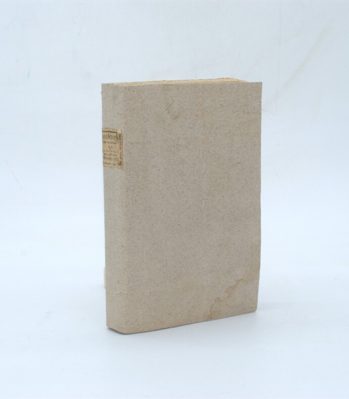
1805réf. PHO-2404Paris, F. Buisson, 1805. In-8 (21,5x13cm),2ff.-322pp., brochage d’attente, couverture papier gris muette moderne, pièce de titre imprimée au dos, non rogné.
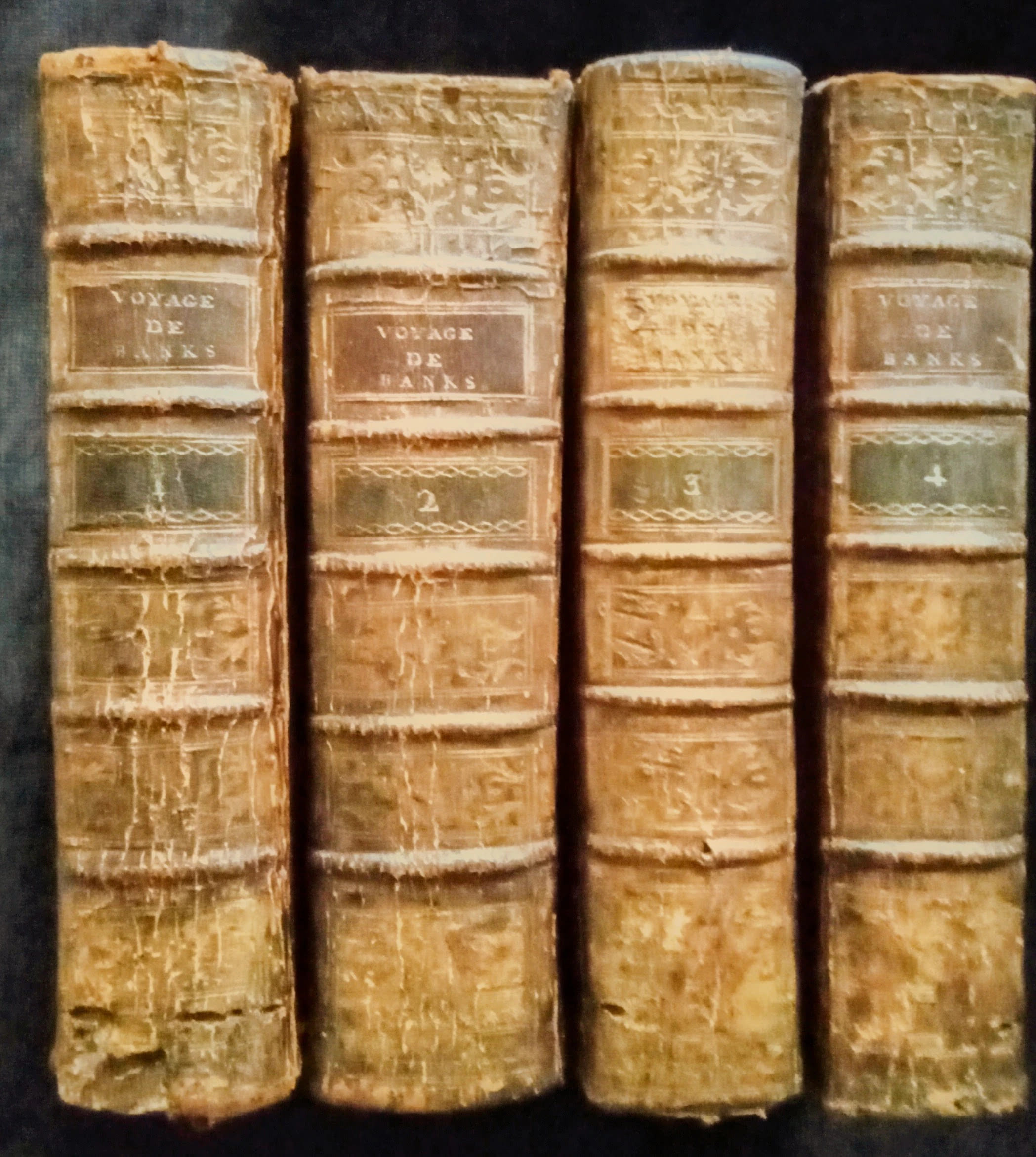
1774réf. WOC-2879Et successivement exécutés par le Commodore BYRON, le Capitaine CARTERET, le Capitaine WALLIS & le Capitaine COOK, dans les Vaisseaux le DAUPHIN, le SWALLOW & l' ENDEAVOUR. Traduit de l'Anglais. Paris, chez Saillant et Nyon, rue Saint-Jean-de-Beauvais & Panckoucke, Hôtel de Thou, rue des Poitevins, 1774. Soit 8 volumes reliés en 4 volumes in-8 (20x4,5x12cm) reliés plein veau d'époque, dos à petits nerfs, ornés de fleurons dorés, titre sur maroquin rouge, tranches rouges, coiffes et coins faibles. Ixxx,327pp. + 347pp. + 352pp. + 462pp. + 374pp. + 312pp. + 336pp. + 336pp.
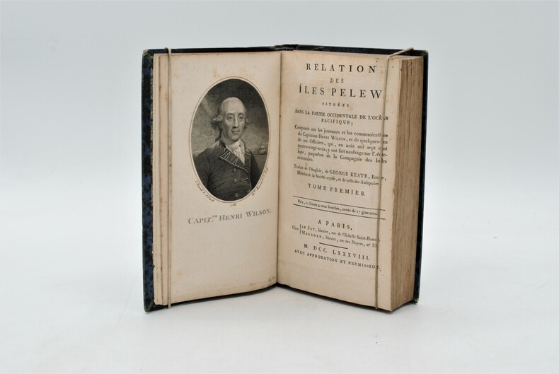
1788réf. PHO-1087Chez Le Jay et Maradan, A Paris 1788, 2 volumes reliés en un , in 8 , (4) 282pp. et (4) 274pp. (3),, relié demi cuir , dos lisse avec titre illustré d’un portrait de Wilson en frontispice, une grande carte dépliante , 15 planches hors texte, petites rousseurs , léger frottements .
1800réf. PHO-1086Texte In-8 (200 x 130 mm) Relié demi-basane, dos orné pièce de titre et de tomaison ,T1 manque coiffe sup.,T2 ,manque coiffes, papier bruni. 440 pp et 332 pp suivi de 109 pp de vocabulaire et table des planches contenues dans l’atlas, table des chapitres du volume et errata. ATLAS Atlas pour servir à la relation du voyage à la recherche de La Pérouse, fait par ordre de l’Assemblée constituante, Pendant les années 1791, 1792, et pendant la 1ere et 2eme année de la République Française. Paris : H. J. Jansen, An VIII de la République (1800). — In-folio, 510 x 335 : titre, 1 carte, 43 planches. Demi toile , dos lisse avec titre , planches 6 détachée et 35 détachée et émargée , dédicace «à Mr V. Rey, secrétaire général de la Nouvelle Calédonie,1903»
1799réf. PHO-333Paris, Jansen, an VIII (1799) 2 vol. in-8 ,demi-veau havane, dos lisse orné (rel. Légt post., mors usagés et rongés) et un atlas in-folio en seconde édition (1817) brochure moderne en papier marbré. Texte :Tome I : xvi pp. (dont faux-titre et titre), 440 pp.Tome II : 332 pp. (dont le faux-titre et le titre), 109 pp., (1)f. Atlas : titre gravé, grande carte sur double page (Mer des Indes et une partie de celle du Sud, par Darbié du Bocage - volante) et 43 planches (vues, scènes, costumes, portraits et types, faune et flore) gravées sur cuivre par Dien, Copia, Pérée, etc., d'après Piron, Redouté, Audebert, etc. représentant des personnages, des scènes de vie, des armes, des vues, la faune et la flore. Nombreuses piqûres et taches d'humidité, mais papier solide, à bonnes marges.