Ramsey, BruceMareMagnum

6.911 Ergebnisse
1962265 pages. Index. Black and white photographic plates. Black and white reproductions of photos. Map front endpaper. A very readable history of this storied British Columbia railway. Prior owner's stamp upon front free endpaper otherwise unmarked. Binding intact. Lacking the dust jacket. A sound copy. Edwards & Lort 2949. Book
199427 Minute VHS videotape in case. "Although Dr. Bill Ricker is in his late eighties now, he still goes into the Pacific Biological Station in Nanaimo to continue his scientific research. This video follows his remarkable scientific journey from his boyhood in North Bay, Ontario to the present. In eveyr field of science Ricker entered, whether in lake studies, fish population dymanics, salmon biology, or entomology, he excelled, gaining worldwide recognition... His story is fascination to anyone not familiar with fisheries science, as well as an inspiration to anyone who is." - from cover. Light wear. Unmarked. Sound copy. Book
198732 pages. Map, car rosters and many black and white archival photos. "The name Canadian Pacific Electric Lines is the unofficial title given to the small electric railways leased by Canadian Pacific in Southern Ontario in the early 1900s. These began in Waterloo County between Galt and Preston and the first line, the Galt and Preston Street Railway opened on July 26, 1894." - from page one. Moderate wear. Clean and unmarked. Bit of sticker remnant atop front cover. Sound copy of this excellent reference. Book
1993Features: Dick Laidman - from Bush to Boardroom; E & B flies the R44; Liberator VY241 - Chris Weicht recalls a tragedy in the lonely peaks of the BC Coast Range; Painting Klee Wyck - mural on Helijet's S-76 by Tony Coon; B-36B Bomber #2075 is ditched in B.C. in 1950 - The very first accident with nuclear weapons, as listed in the DOD summaries of accidents involving US nuclear weapons 1950-1980 - *little known B.C. history*; First Flight at 81!. Sound copy. Magazine
194394 pages. Black and white illustrations in text. "A second book of verse concerning the trials and tribulations, lives and ways of the loggers living and working in the Great Northwest of America." - subtitle. Small 'Compliments of..." bookplate upon front free endpaper, otherwise clean and unmarked with light wear. Bound in forest green buckram without dust jacket. Binding tight. A quality vintage copy. Edwards & Lort 3430. Lowther 1829. Book
196268 pages. Features: Nice photo ad for the Sikorsky S-61 twin-turbine helicopter; So You're Going to Okinawa; One-page illustrated ad for the FMC 'winged' amphibious landing craft LVHX2; Small Unit Operations - Counterguerrilla War - Part 4 of a series; Major Military Decisions of the 20th Century; How to Win at Combat Training; Pacific Strategy - Part 2 - Looking Ahead, by Samuel Eliot Morison, Rear Admiral USNR (Ret.); MABS or MOBS - Suggestions to prevent Marine Air Bases from running in circles; Recall and You - advice for Marines (and their wives) on what to do before you're called to go to war; Artillery vs. Guerrillas; Republic of China (Taiwan) Marines; Promotions and Transfers; Phantom II F4H-1 fighter color ad on back cover; and more. Average wear. Unmarked. A sound vintage copy. Magazine
195350 pages. Many reproductions of black and white photos. Printed upon glossy stock. Features: Enter the European - II - Into Brazil - Half of South America; Photo study of an air flight between Fort McMurray and Fort Good Hope; North Shore Naturalist - Comte Henri de Puyjalon; The Tsimshian; The Radford and Street Murders - famous crime at York Factory over forty years ago; Little P.G.E. (Railway) Goes Somewhere - travel article by Florence and Francis Jaques; The Fur Trade Party - conflict between 'wintering partners' eighty years ago; Northern Wildflowers; The Bells of the Turrets Twain - the bells of St. Boniface were heard across Canada on the occasion of the present Queen's coronation; Calling the 'Columbia' - article on the floating hospital-chapel-theatre serving the people of B.C.'s rugged coast; Nice colour ad for Hudson's Bay Point Blankets on back cover. Clean and unmarked with moderate wear. A sound vintage copy. Book
1976pp. vi, 178. Index. Generously illustrated with black and white reproductions of fascinating archival photos. Printed upon glossy stock. Map endpapers. "Weaves together the story of Japanese attempts to retaliate [after the Doolittle raids on the Japanese islands] with an account of wartime situations and the effects of the attacks along the west coast of the United States and Canada. Describes coastal defenses, the evacuation of Japanese-Americans, and beach patrols. Written with the assistance of Japanese scientists who developed and launched the fire bomb balloons, surviving members of the crews of the Japanese submarines that attacked the U.S. mainland, and the only airplane pilot to bomb the United States." - dust jacket. Clean and unmarked with light wear to publisher's mauve cloth decorated in gilt. Binding tight. Light wear to dust jacket which is partially sunned at spine and now preserved in Brodart. A quality copy of this intriguing and little-known WWII history. Enser p.134, Smith 5828-34. Book
900Anchorages in the Solomon Islands. In the left part of the chart insert of Utuha H.r or Port Purvis Enlarged from a Survey by Comm. R.W. Glennie, H.M. Surveying Ship "Sealark" 1911, With Additions from a sketch Survey by Lieut. J.P. Rolleston H.M.S "Royalist", 1889, Alite H.r Langa Langa H.r Sketch Survey by Lieut. C.G.S. Eeles, H.M.S. Curacoa, 1893, Anonyma Cove Sketch Survey by Lieut. C.G.S. Eeles, H.M.S. Curacoa, 1893. In the middle part of the chart insert of Sio Harbour Sketch Survey by Lieut. J.P. Rolleston H.M.S "Royalist", 1889, Uru I. Anchorage Sketch by T.H.Switzer, Mate S.S. Rhoderick Dhu, 1894, Korombusu P.t to Susu P.t Surveyed by Commander R.W. Glennie H.M. Surveying Ship "Sealark" 1912. In the right part of the chart insert of Waisissi or Royalist Harbour Sketch Survey by Lieut. J.P. Rolleston, H.M.S. Royalist, 1889, Palaina Anchorage Sketch Survey by Lieut C.G.S. Eeles, H.M.S. Curacoa, 1893, Coleridge Bay Sketch Survey by Lieut. E. Reeves, H.M.S Royalist, 1894, Sualaha Cove Sketch Survey by Lieut. C.G.S. Eeles, H.M.S Curacoa, 1893, Mappo Harbour Sketch by T.H. Switzer, Mate of S.S. Rhoderick Dhu, 1894, S.W. Coast of Malaita By W.T. Wawn, Master of the Brigantine "Borough Belle" 1891. London Published at the Admiralty 30th May 1890, under the Superintendence of Captain W.J.L. Wharton, Hydrographer. Small corrections. Folded editorially. Autore: Admiralty Charts. Luogo: Salomon Islands - Pacific Ocean. Anno: '900. Tecnica: incisione. Dimensioni: 649x998 mm
900Bauro or San Cristoval Island Surveyed by Lieutenant C.F. Oldham, assisted by Lieutenants Alex Leeper, C.F. de M. Malan, and T.H. Heming, H.M. Surveying ship "Lark" 1883-4. The Southern and Western coasts from sketch surveys made in 1793, 1855, & 1867. In the upper right corner of the chart insert of Wango Bay Sketch survey by Lieut. C.A. Buckland, H.M.S. "Royalist" 1892, Marunga Harbour Sketch survey by M.r T.H. Switzer, Master S.S. "Roderick Dhu" 1900, Star Harbour Sketch survey by M.r T.H. Switzer, Master S.S. "Roderick Dhu" 1900, London Published at the Admiralty, 19th April 1892, under the Superintendence of Captain W.J.L. Wharton, Hydrographer. Small corrections: 1921. Folded editorially. Autore: Admiralty Charts. Luogo: Bauro or San Cristoval Island - Salomon Islands - Pacific Ocean. Anno: '900. Tecnica: incisione. Dimensioni: 649x985 mm
900Bouganville Strait Surveyed by Lieutenant C.F. Oldham, assisted by Lieutenants A. Leeper and T.H. Heming and Sub Lieutenant A.G. Causton, H.M. Surveying Ship "Lark" 1883-4. Bouganville I. and the adjacent waters amended from the German Government Charts of 1910-13. In the upper right corner of the chart insert of Shortland Harbour Surveyed by Lieut. C.F. Oldham and the Officers of H.M.S. "Lark", 1883-4. London Published at the Admiralty, 9th June, 1886, under the Superintendence of Captain W.J.L. Wharton, Hydrographer. Small corrections: 1930. Folded editorially. Autore: Admiralty Charts. Luogo: Bouganville Strait - Salomon islands - Pacific Ocean. Anno: '900. Tecnica: incisione. Dimensioni: 828x653 mm
900Ancient and original map of Malekula (Mallicolo) Island Northern part with portion of Malo Island Surveyed by Lieut. & Comm. G.C. Frederick, assisted by Lieut.ts H.J. Gedge, E.A. Day & H.B.T. Somerville, and Lieut. & Comm. H.E. Purey-Cust, assisted by Lieut.ts W. Pudsey-Dawson, F.C.C. Pasco & A.E.H. Marescaux, H.M. Surveying Ship "Dart" 1891-92. The West Coast: South of Malua Bay from a Sketch Survey by Lieut. K. Dixon, assisted by M.r G.J. Pacey, Gunner, H.M.S. "Archer" 1903. London Published at the Admiralty, 11th Dec. 1893, under the Superintendence of Captain W.J.L. Wharton, Hydrographer. Small corrections: 1928. Folded editorially. Autore: Admiralty Charts. Luogo: Pacific Ocean South - Malekula Island. Anno: '900. Tecnica: incisione. Dimensioni: 986x640 mm
900Plans of Islands in the South Pacific. In the left side of the chart insert of Niutao From a sketch by Captain Peters of the German Mercantile Marine, 1876, Nanomea From a sketch by Capt. Peters of the German Mercantile Marine, 1876, Hoorn I.s From the French Government Chart of 1893, Sigave Bay From a French Gov. Survey 1883, Oeno Island From a Running Survey. In the middle of the chart insert of Ducie IslandFrom a Running Survey by Capt. F.W. Beechey, 1826. In the right side of the chart Niue or Savage I. From a Survey by H.D.M. Haszard Esq. 1903, Uea or Wallis I.s From a French Government Chart of 1901, Henderson I. From a Running Survey by Capt. F.W. Beechey, 1826, Niuafou Island From an Eye Sketch by Lieut. B.T. Somerville, H.M. Surveying Ship "Penguin" 1895. London Published at the Admiralty 20th Sept. 1873, under the Superintendence of Rear Admiral G.H. Richards, Hydrographer. Small corrections: 1930. Autore: Admiralty Charts. Luogo: Pacific Ocean Islands. Anno: '900. Tecnica: incisione. Dimensioni: 631x489 mm
900South Pacific Ocean - New Hebrides & Islands adjacent Surveyed by Capt. H.M. Denham, 1853-6. In the left side of the chart insert of Port Aneityum. In the right side of the chart insert of Aneityum Island or Annatam, Conway Reef. In the lower part of the chart insert of Walpole Island, Matthew Island, Hunter Island, Erronan or Futuna. London Published at the Admiralty, 4th June 1862, under the Superintendence of R.Adm. Washington, Hydrographer. Small corrections: 1920. Autore: Admiralty Charts. Luogo: New Hebrides Islands - Pacific Ocean. Anno: '900. Tecnica: incisione. Dimensioni: 481x654 mm
900Tonga or Friendly Islands. In the upper part of the chart insert of Tongatabu Nukualofa Anchorage Surveyed by Captain Pelham Aldrich, assisted by Lieuts. C.J. Baker, T.H. Heming, G.C.A. Marescaux, W. Richardson, C.E. Monro and Sub Lieut. E.B. Kiddle, H.M. Surveying Ship "Egeria", 1888. In the lower part of the chart insert of Nomuka Harbour Surveyed by Lieut.ts W. Richardson and E.B. Kiddle, under the direction of Commander C.F. Oldham, H.M. Surveying Ship "Egeria", 1889, Eua Island Surveyed by Captain Pelham Aldrich, and the Officers of H.M. Surveying Ship "Egeria" 1888, Falcon Island Surveyed by Commander C.F. Oldham, and the Officers of H.M. Surveying Ship "Egeria" 1889. London Published at the Admiralty, 15th Feb. 1890, under the Superintendence of Captain W.J.L. Wharton, Hydrographer. Small corrections: 1931. Folded editorially. Autore: Admiralty Charts. Luogo: Pacific Ocean - Island Tonga. Anno: '900. Tecnica: incisione. Dimensioni: 965x652.
900Vanikoro Islands Surveyed by Capt. Durmont D'Urville, French Royal Navy 1828 - Tevai and Manevai Bays From the Survey by Capt Durmont D'Urville, French Royal Navy 1828. In the right side of the chart insert of Basilisk Harbour By Lieut. Hayter & Nav. Lieut. T.L. Mourilyan, 1872. Sub.Lieut. C.F.M. Malan, 1874, & Lieut. W. Munro Kerr, 1900. London Published at the Admiralty 1st Sept. 1873, under the Superintendence of Rear Admiral G.H. Richards, Hydrographer. Small corrections: 1930. Folded editorially. Autore: Admiralty Charts. Luogo: Vanikoro Islands - Pacific Ocean. Anno: '900. Tecnica: incisione. Dimensioni: 993x662 mm
1749Best.-Nr. LBW-8991749 280 x 543 mm.
1787Carta geografica tratta dal “Atlas encyclopédique, contenant la géographie ancienne et quelques cartes sur la géographie du Moyen Âge, la géographie moderne, et les cartes relatives à la géographie physique” di Rigobert Bonne e Nicolas Desmarest, edito a Parigi nel 1787-88, "Par M. Bonne, Ingénieur-Hydrographe de la Marine, et par M. Desmarest, de L'Académie Royale des Sciences".Il Bonne è stato uno tra i cartografi francesi più influenti del settecento, tanto da venir scelto quale successore di Jacques Nicolas Bellin al Depot de la Marine come idrografo di Sua Altezza Reale Luigi XVI.L'Atlas Encyclopédique, opera che il Bonne portò a termine con l'ausilio di Nicholas Desmarest, costituisce il suo lavoro di maggior fama.Incisione in rame, in buono stato di conservazione. Map taken from the “Atlas encyclopédique, contenant la géographie ancienne et quelques cartes sur la géographie du Moyen Âge, la géographie moderne, et les cartes relatives à la géographie physique” by R. Bonnè and Nicolas Desmarest, printed in Paris "Par M. Bonne, Ingénieur-Hydrographe de la Marine, et par M. Desmarest, de L'Académie Royale des Sciences", 1787-88.Bonne was one of the most influential French cartographers of the eighteenth century, so much so that he was chosen as the successor of Jacques Nicolas Bellin to the Depot de la Marine as a hydrograph of His Royal Highness Louis XVI.The Atlas Encyclopédique, that Bonne completed with the help of Nicholas Desmarest, constitutes his most famous work.Copperplate, in good conditions.
1785Best.-Nr. LBW-2857[1785]. 235 x 172 mm.
1785Best.-Nr. LBW-8758[1785]. 235 x 360 mm.
1774Best.-Nr. LBW-2672[1774]. 211 x 350 mm.
1774Best.-Nr. LBW-2850[1774]. 235 x 167 mm.
1774Best.-Nr. LBW-2853[1774]. 235 x 170 mm.
1778Best.-Nr. LBW-8800[1778]. 220 x 348 mm.
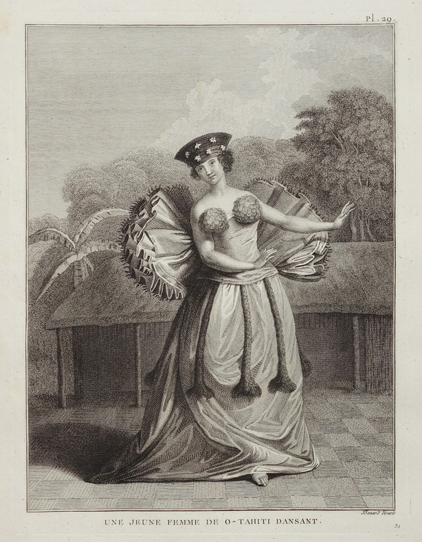
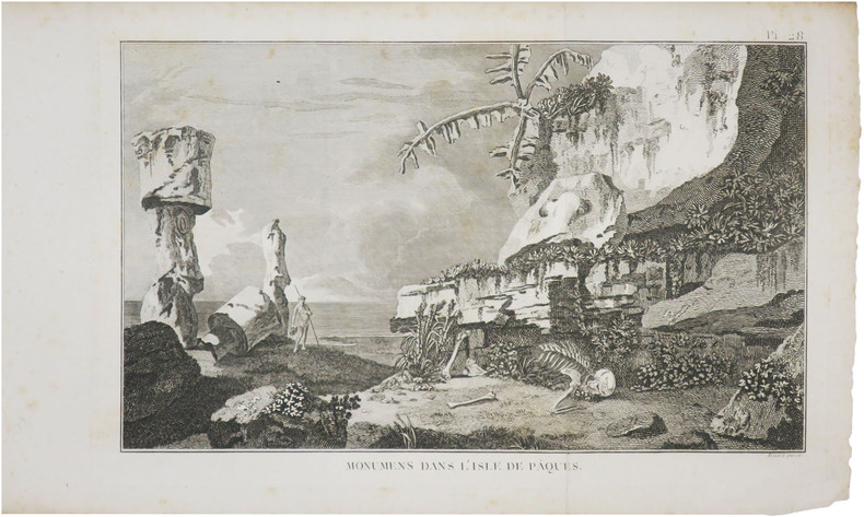
1774Carta geografica tratta dall'atlante della relazione di James Hawkesworth "Cartes et figures des voyages entrepris par ordre de sa Majesté Britannique pou fair des découvertes dans l'hémisphère méridional; exécutes par Byron, Carteret, Wallis & Cook dans les vaisseaux le Dauphin, Le Swallow & l'Endeavour" pubblicata in più edizioni di lingua francese, inglese, olandese ed italiano. Map of the atlas is the report by James Hawkesworth "Cartes et figures des voyages entreprise par ordre de sa Majesté Britannique pou fair des découvertes dans l'Hémisphère southern exécutes par Byron, Carteret, Wallis and Cook dans les vaisseaux le Dauphin, Le Swallow & Endeavour "published in multiple editions of the English, French, Dutch and Italian.A map of Tahiti and the surrounding islands discovered by Wallis, Carteret and Cook in the years 1765, 1767 and 1769.