Schmidt, JohannesAntiquariat.de
3,450 results
1913ref. 1443Berlin, B.Behr`s, 1913. Zwei Bände. S. 89-138; S. 141-189 8°., Obroschiert/Taschenbuch mit Deckelillustration
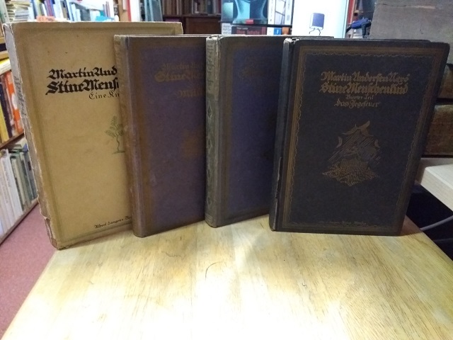
1918ref. 28966ABMünchen, Albert Langen, (1918, 1919, 1920, 1921). 206, 2 S.; 176; 234, 6; 195, 4 Seiten. Original-Broschur u. 3 Original-Pappbände. 4 (von 5) Bänden. Broschur mit rauem Schnitt, die drei anderen Bände jeweils mit dreiseitigem Farbschnitt, die Bände 3 u. 4 mit illustrierten Vorsätzen. Papierbedingt teils stark gebräunt, in Band 2 mehrere Ränder mit kurzen Einrissen bzw. leichten Stauchspuren. Einbände l
1950ref. jk1707180528xbvkStockholm, Fahlcrantz & Co., 1950. 513 / 501 pages. - Publisher's red-titled softcovers bound in gilt-titled darkblue half-chagrin bindings with black-blue-yellow-and-white marbled boards; large-8vo.(ca. 23 x 17 x 9 cm; ca. 2,3 kg.).
1957I tohundredearet for oprettelsen af trykkeriet paa Strawberry Hill. Udgivet og trykt af Andelsbogtrykkeriet, Odense 1957. 172 sider. Illustreret. Heftet med orig. omslag. Mangler smudsomslag.Edition of 1000 copies, no d / j, wrappers and spine faded / sunned
1913ref. 37541Kopenhagen: Selbstverl. (Harald Jensens Bucxhdruckerei), 1913. 395 S., zahlr. Abb., OHLn. 8°. Einband berieben, im Gelenk locker, etwas Bleistiftanstreichungen.
1938ref. 7409Diederichs, Jena 1938. 189 S. Leinen mit Schutzumschlag. Umschlag etwas eingerissen. Etwas gebräunt. Sonst gutes Exemplar. Hübsches Exlibris auf Vorsatz.
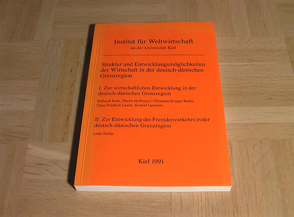
1991ref. 004286Kiel, Institut fur Weltwirtschaft, 1991. Orig.-Broschur, XIX / 241 Seiten, Gr.-8°. Kieler Sonderpublikationen. Einband etwas ausgeblichen. Sonst sauberes und sehr gut erhaltenes Exemplar.
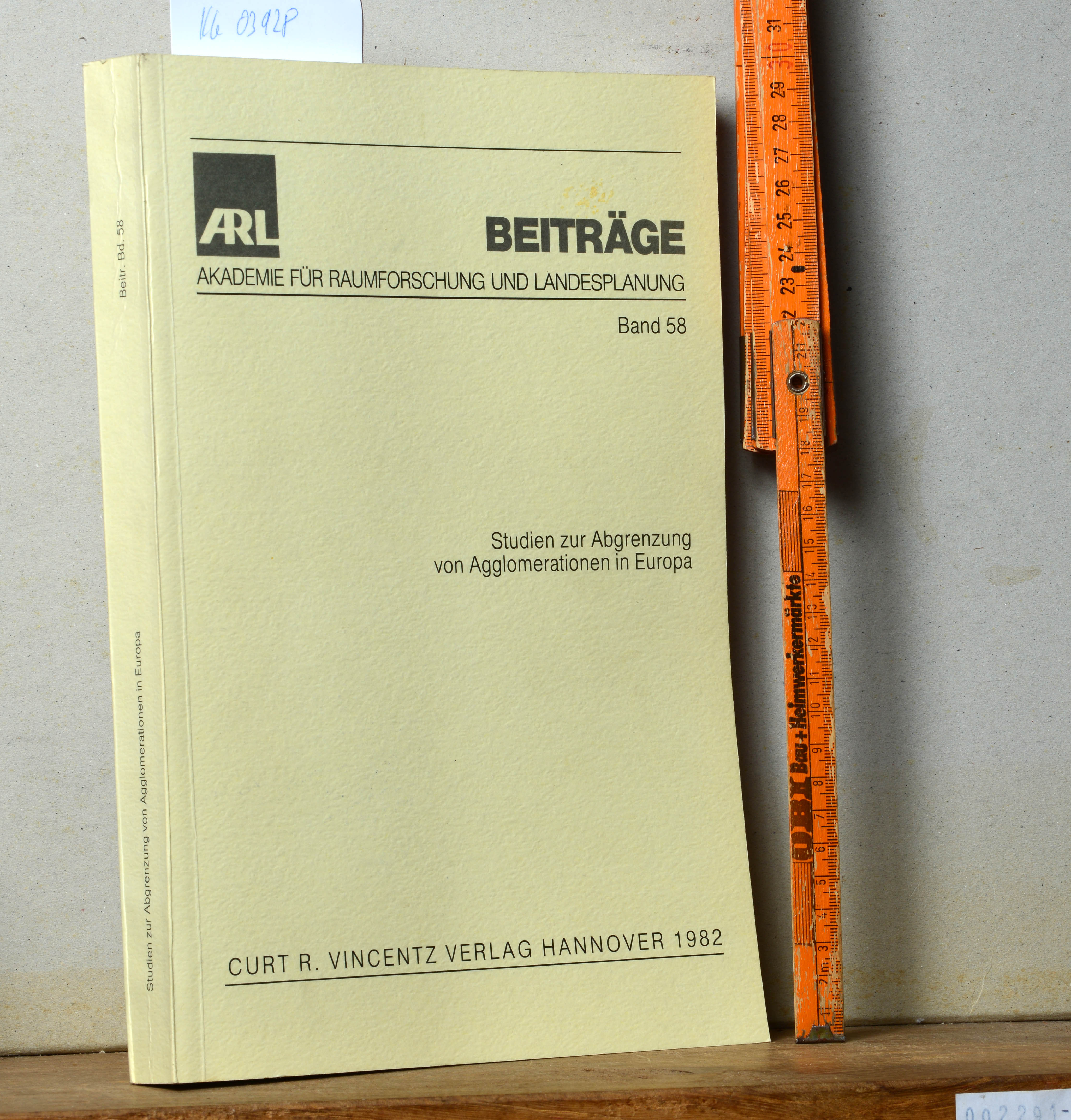
1982ref. Khe03928Hannover (Curt R.Vincentz) 1982 (= Erste Ausgabe). 4°, Originalbroschur ( Paperback) 453 S., Kartenskizzen, ISBN 3878707037 1
ref. 8778382068.Gpaperback. Good. Access codes and supplements are not guaranteed with used items. May be an ex-library book. paperback
ref. 28884Kobenhavn, Levin & Munksgaard 1934, 270x215mm, 97pages, paperback.
2002ref. LFA-126736708Un ouvrage de 96 pages, format 250 x 250 mm, illustré, relié cartonnage couleurs, publié en 2002, Editions Proxima, bon état
1973ref. 51804ABHannover., Kestner Gesellschaft., 1973. 20 x 20 cm. 100 S. OKarton. Erste Auflage. Sehr gutes Exemplar.
1911Reli?. 535+44 pages. Mors r?par?. Carte hors-texte r?par?e.
1816ref. 270431816 1 map : color ; 26.4 x 29.0 cm- Scale [ca. 1:80 000 000]- Carte géographique de l' Atlas classique et universel de geographie ancienne et moderne : dresse pour linstruction de la jeunesse, et notamment pour les colleges royaux, et les ecoles militaires- Auteur :Lapie, M.- Éditeur: A Paris : Chez Magimel, Anselin, et Pochard, et chez Pic 1816.
ref. 187204Florence, M. Cellini, 1860 in-4, 58 pp., avec des figures dans le texte, cartonnage souple noir moiré, dos lisse muet (reliure de l'époque). Bon exemplaire.
1996ref. 41117National Museum of Canada 1996. Book. Near Fine. Oversize Paperback. First Edition. National Museum of Canada Paperback
ref. 12023Dimensions (Hauteur x Largueur en mm) : 240 x 190.Etat : Coins légèrement écornés, haut de la photo légèrement frotté, bon état.
ref. 12021Dimensions (Hauteur x Largueur en mm) : 235 x 185.Etat : Coins légèrement écornés, bon état.
ref. 11979Dimensions (Hauteur x Largueur en mm) : 145 x 105Etat : Très bon état.
ref. 12024Dimensions (Hauteur x Largueur en mm) : 235 x 185.Etat : Coins légèrement écornés et haut légèrement froissé, bon état.
1857ref. ZB490177Copenhague: de l`imprimerie de Thiele 1857. Price HAS BEEN REDUCED by 10% until Monday Oct. 26 weekend SALE item 19 pp. illustrations in text reprinted from Memoirs de la Societe Royale des Antiquaires du Nord; lacks cover of paper wrappers becoming disbound good. - If you are reading this this item is actually physically in our stock and ready for shipment once ordered. We are not bookjackers. Buyer is responsible for any additional duties taxes or fees required by recipient's country. Copenhague: de l`imprimerie de Thiele, unknown
1966ref. 55457Aahus. 1966. 70 pages and 4 folded plates. With 46 fotos and figures. Softcover. 21x15 cm
Graziosa mappa del 1750 circa della Svezia, Norvegia e Danimarca. ATLANTE: Geografia universale - Buffier DIMENSIONI FOGLIO: cm 20x18 DIMENSIONI INCISIONE: cm 18x14 EPOCA: 1750 circa CONDIZIONI: Ottime. Piegature.Nice map of 1750 circa of Sweden, Norway and Denmark ATLAS: Geografia universale - Buffier LEAF DIMENSION: cm 20x18 ENGRAVING DIMENSION: cm 18x14 DATE: 1750 circa CONDITIONS:Very good conditions. Foldings.
1937207 pages. Some black and white photographs. Book has a significant cant. Binding intact. Extensive pencil underlining and notes throughout. Danish text on pig breeding and pig husbandry. Book
1926ref. 30161ABKopenhagen, Henrik Koppels Forlag, (1926). (11) Bl. Mit 10 ganzs., farb. Illustrationen von Einar Nerman. Farb. illustr. Orig.-Halbleinenband. + Wichtig: Für unsere Kunden in der EU erfolgt der Versand alle 14 Tage verzollt ab Deutschland / Postbank-Konto in Deutschland vorhanden +