178 résultats
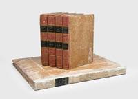
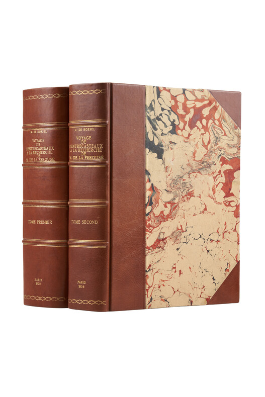
1808réf. PHO-1626Paris, Imprimerie impériale, 1808. 2 grands et forts volumes in-4 (32x24), lvi, 704 p., 33 pl. ; viii, 692 p., relié demi basane et coins moderne, dos avec auteur, titre, tomaison, lieu et date, exlibris en page de garde, non rogné, tome 2 non coupé, petite mouillure au tome 2, petites rousseurs aux illustrations du tome 1. Exemplaire sur papier bleuté, complet de son illustration mais sans son atlas de cartes
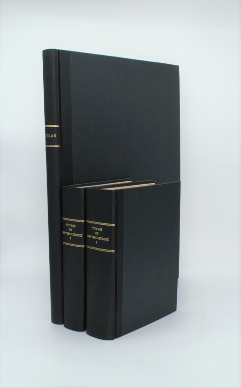
1807réf. PHO-1A Paris, Dépôt général des Cartes et Plans de la Marine et des Colonies, 1807 et De L’Imprimerie Impériale, 1808 RARE ENSEMBLE COMPLET en 3 volumes TEXTE ; 2 forts vol. in-4° ; (2)-LVI-704 pp.-32 pl. h.-t. repliées in-fine (I-XXXII)/(2)-VIII-692 pp.-1 pl. h.-t. Repliée sur papier bleuté , relié demi cuir , dos lisse avec titre et tomaison , tranches mouchetées , mouillure angulaire sur 7 planches, petites rousseurs sur les planches . ATLAS ; 1 volume grand in-folio (560x445) ,page de titre-1 fnch. (Table )-39 cartes et vues h.-t. , dont 29 à double page ,dressées par l'ingénieur hydrographe C. F. Beautemps Beaupré et gravées sur cuivre par E. Collin , relié demi cuir , dos lisse ,cachets répétés , petites rousseurs .
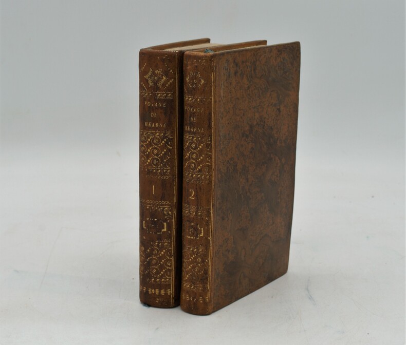
réf. PHO-1184Paris, chez Patris , an VII (1799), 2 volumes in-8, lviii-373 pp ,332 pp.-xix , relié plein basane raciné , dos lisse orné avec titre et tomaison , tranches jaunes mouchetées ,T1, titre , extrait du 3eme voyage du capitaine Cook , A la Pérouse , préface , grande carte de la route de Samuel Hearne (60x80cm)déchirure sans manque , introduction, 2 planches et 2 cartes ,T2 , 3 cartes et 2 planches , table des chapitres , errata et placements des planches , intérieur très frais. Complet des 9 planches et cartes , 1 carte volante , manque page 17 à 32 .
1800réf. PHO-1086Texte In-8 (200 x 130 mm) Relié demi-basane, dos orné pièce de titre et de tomaison ,T1 manque coiffe sup.,T2 ,manque coiffes, papier bruni. 440 pp et 332 pp suivi de 109 pp de vocabulaire et table des planches contenues dans l’atlas, table des chapitres du volume et errata. ATLAS Atlas pour servir à la relation du voyage à la recherche de La Pérouse, fait par ordre de l’Assemblée constituante, Pendant les années 1791, 1792, et pendant la 1ere et 2eme année de la République Française. Paris : H. J. Jansen, An VIII de la République (1800). — In-folio, 510 x 335 : titre, 1 carte, 43 planches. Demi toile , dos lisse avec titre , planches 6 détachée et 35 détachée et émargée , dédicace «à Mr V. Rey, secrétaire général de la Nouvelle Calédonie,1903»
1829réf. PHO-1047Paris: Imprimerie Royale, 1829.1 vol. in-4 de 2ff-titre, table-124pp. , relié demi cuir , dos lisse avec pièce de titre ,1 grande carte trigonométrique des côtes occidentales de France, dépliante, dressée par Michel Daussy , mors frottés, intérieur à grande marge , très beau papier d’une grande fraîcheur
1990réf. LFA-126739701Revue de 50 pages, format 205 x 280 mm, illustrée, brochée couverture couleurs, bon état
réf. VOY918M1822-1824, Étienne Ledoux, Paris. Complet. 14 volumes in-8, demi-basane havane de l' époque, dos lisse orné, titre et tomaison dorés. Fronttispices illustrés. [2]-XII-469-[2], [6]-473-[2], [6]-498-[2], [6]-445-[2], [6]-474-[2], [6]-496-[2], [6]-478-[2], [6]-473-[2], [6]-489-[2], [6]-475-[2], [6]-479-[2], [6]-481-[2], [6]-474-[2], [6]-426-[2]. Volumes non coupés. Frottements diffus des dos, coins et coiffes. Pièces de titre et tomais parfois effacées. Intérieur globalement agréable. Usure normale du papier. Ensemble satisfaisant
réf. QWA-15029F. Bechet, 1847, gr. in-8 rel. 1/2 peau marron (15,5 x 24), VIII-352 p., E.O., gravures h.-t., reliure d'époque modeste usagée en bordure, intérieur avec rousseurs éparses, assez bon état.
1799réf. PHO-333Paris, Jansen, an VIII (1799) 2 vol. in-8 ,demi-veau havane, dos lisse orné (rel. Légt post., mors usagés et rongés) et un atlas in-folio en seconde édition (1817) brochure moderne en papier marbré. Texte :Tome I : xvi pp. (dont faux-titre et titre), 440 pp.Tome II : 332 pp. (dont le faux-titre et le titre), 109 pp., (1)f. Atlas : titre gravé, grande carte sur double page (Mer des Indes et une partie de celle du Sud, par Darbié du Bocage - volante) et 43 planches (vues, scènes, costumes, portraits et types, faune et flore) gravées sur cuivre par Dien, Copia, Pérée, etc., d'après Piron, Redouté, Audebert, etc. représentant des personnages, des scènes de vie, des armes, des vues, la faune et la flore. Nombreuses piqûres et taches d'humidité, mais papier solide, à bonnes marges.
réf. ORD-14195Préface du Contre-Amiral de Brossard. Paris. Gelly. Les Gentishommes de la Mer. (1970). 2 volumes in-8 (168 x 216mm) pleine peau maroquinée rouge, dos à 4 nerfs, titre et caissons or, frise et filets bordant les plats, gardes marbrées, tête dorée, étui bordé de maroquin rouge, 278 et 262 pages, nombreuses illustrations hors texte en noir ou en couleurs souvent à double page. Exemplaire sur vergé d'Arches. Très bon état.
1797réf. LBW-3733[Paris, 1797]. 684 x 492 mm.
réf. QWA-5125Maurice Nadeau / Papyrus, 1980 206 p., in-8 br., une carte des voyages de La Pérouse, très bon état
1977réf. LFA-126717915Un ouvrage de 269 pages, format 245 x 160 mm, illustré, relié cartonnage sous jaquette couleurs, publié en 1977, bon état
1990réf. LFA-126713447Un ouvrage de 319 pages, format 145 x 230 mm, relié cartonnage sous jaquette couleurs, publié en 1990, bon état
1987réf. BN257250Stuttgart ; Wien : Ed. Erdmann 1987. 1987. Zu den Klippen von Vanikoro : Weltreise im Auftr. Ludwigs XVI. 1785 - 1788. Jean-François de Lapérouse. Nach Lapérouses Tagebüchern aufgezeichn. von M. L.-A. Milet-Mureau. Übers. bearb. u. hrsg. von Klaus Fischer Alte abenteuerliche Reiseberichte Zu den Klippen von Vanikoro : Weltreise im Auftr. Ludwigs XVI. 1785 - 1788. Jean-François de Lapérouse. Nach Lapérouses Tagebüchern aufgezeichn. von M. L.-A. Milet-Mureau. Übers. bearb. u. hrsg. von Klaus Fischer Alte abenteuerliche Reiseberichte La Pérouse Jean-François de Galaup und Klaus Fischer Stuttgart ; Wien : Ed. Erdmann unknown
1797réf. 181908Paris: L'Imprimerie de la Republique 1797. One of the great documents of French exploration" in the original boards First edition an attractive set with strong impressions of the plates. La Pérouse's work is a "magnificent production and some authorities consider the engraving and craftsmanship to be superior even to that in the Cook-Webber atlas It is one of the finest narratives of maritime exploration ever written and certainly deserves to hold a place of high honour among the great travel accounts of the 18th century" Howell. La Pérouse's 1741-c.1788 expedition left France in 1785 to seek an inter-oceanic passage examining the parts of the Pacific not yet explored by Cook conducting scientific observations on the various peoples and regions assessing the extent of Spanish settlement in California and determining the possibilities of French expansion in the Pacific. En route to Kamchatka La Pérouse was the first to navigate safely and chart the Japan Sea and the strait between the island of Sakhalin and the northernmost island of Japan which bears his name. At Kamchatka he received instructions to proceed to Australia arriving at Botany Bay in January 1788 just hours after Captain Phillip had arrived with the First Fleet. After leaving later the same year the expedition was never seen again. Evidence slowly came to light that both ships were wrecked on the reefs around the islands north-west of Australia. This account is based on dispatches sent from Australia and Kamchatka before this. The atlas volume contains maps of Russian Asia Japan San Francisco Monterey and the Sandwich Islands. The most significant results of La Pérouse's voyage are the charts of the Asiatic side of the Pacific and the details of "the peculiarities he observed in the Native Americans of the northwest coast of North America are especially valuable" Sabin. It also features the first representation of the crested quail. The engraved portrait of La Pérouse counted as the 70th plate is here bound as the frontispiece in Volume I as often. The atlas was published in two forms: on regular usually trimmed and large or thick paper. Forbes and Lada-Mocarski give the measurements for the large paper issue variously at 620 x 455 and 563 x 420 mm. Provenance: Amandine Doré 1911-2012 the French painter illustrator and writer her pencilled signature on the front free endpaper of Volume I dated 1955 her signature and initialled booklabel on the front endpapers of the atlas. Doré produced works for travel narratives such as Mexique pay a trois etages 1955. 5 vols comprising 4 quarto text vols 307 x 256 mm and folio atlas 585 x 440 mm. Engraved portrait of La Perouse after Tardieu. Atlas: engraved allegorical title page by Moreau le Jeune 69 engraved plates and maps some double-page or folding many with original tissue guards loosely inserted. Original pulled paste paper boards flat paper covered spines tinted pink twin dark green spine labels original sheep corners housed together in light brown slipcase; atlas original pulled paste paper boards flat vellum spine covered with white paper dark green morocco spine label recent sheep corners. Text with occasional marginal pencillings or notes. Text vols: bookplate removed from front pastedown of vol. I rubbed a few superficial chips to spines and early recolouring vol. I starting before title; atlas: spine and sides extensively rubbed superficial split to foot of front joint marginal tear to Plate 28 and two others. A very good copy. Anker 276; Ferguson 251 dated 1798; Forbes 272; Hill 972; Lada-Mocarski 52; Sabin 38960; Streeter VI: 3493. Richard Reed in Howell Anniversary Catalogue 72 1982. hardcover
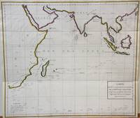
1788réf. M7032Paris 1788. Very Good;. Notes: An 18th century mapping of the Indian Ocean. This handsome sea chart depicts magnetic needle readings along various routes in the ocean from the Cape of Good Hope le Cap des Aiguilles to the South East Asian archipelago. Size : 511x583 mm 20.12x22.95 Inches Coloring: Hand Colored in Outline Category: Maps Sea Chart; Maps Ocean Indian; unknown
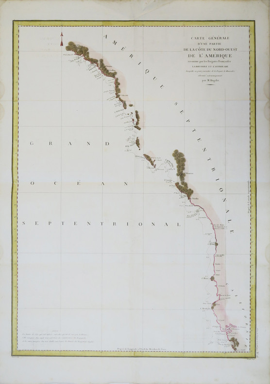
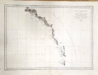
1797réf. M2909Paris 1797. Very Good. Notes: French map of the Alaska region published in the First French edition of La Perouse's Voyages Atlas. Map showing the coast from Mt. St. Elias to Graham Island. Chef d'escadre Jean François de Galaup comte de Lapérouse 23 August 1741 – c. 1788 was a French Navy officer and explorer. Having enlisted in the Navy at the age of 15 he had a successful career and in 1785 was appointed to lead a scientific expedition around the world. His ships stopped in Chile Hawaii Alaska California Macau the Philippines Korea Russia Japan Samoa Tonga and Australia before wrecking on the reefs of Vanikoro in the Solomon Islands. Size : 494x677 mm 19.375x26.625 Inches Coloring: Black & White Category: Maps Polar Arctic Regions Alaska Greenland Iceland; unknown
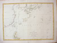
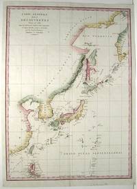
1787réf. M7397Paris c.1787. Very Good;. Size : 495x680 mm 19.49x26.77 Inches Coloring: Hand Colored in Outline Category: Maps Asia Far East China; Maps Asia Far East Japan & Korea; unknown
1788réf. M6851Paris 1788. Very Good; laid on acid-free canvas for long-term preservation. Notes: This handsome sea chart depicts magnetic needle readings along various routes in the North Pacific ocean. Size : 590x1090 mm 23.23x42.91 Inches Coloring: Hand Colored in Outline Category: Maps Sea Chart; Maps Ocean Pacific; Maps United States West; unknown
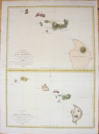
1798réf. M7217Paris 1798. Very Good;small restoration at left margin. Size : 490x678 mm 19.29x26.69 Inches Coloring: Hand Colored Category: Maps United States West Hawaii; unknown
1788réf. M4779Paris 1788. Very Good. Size : 685x495 mm 27x19.5 Inches Coloring: Hand Colored Category: Maps Russia; Maps Asia Far East Japan & Korea; unknown
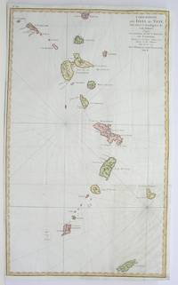
1796réf. M3355Paris 1796. Very Good; lower margin extended. Size : 606x362 mm 23.875x14.25 Inches Coloring: Hand Colored Category: ; Maps West Indies Whole unknown
1797réf. M753Paris 1797. Excellent. Size : 685x495 mm 27x19.5 Inches Coloring: Hand Colored Category: Maps Asia Far East China; Maps Asia Far East Japan & Korea; unknown
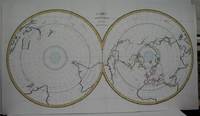
1788réf. M5521Paris 1788. Very Good folding map flattened and folds reinforced laid on acid free canvas for long term preservation. Notes: "Double hemispherical world map with each hemisphere shown on polar projection. Plate probably accompanied: Histoire naturelle generale et particulare / George Louis Leclerc Buffon. Paris 1749-1804. Plate "No. 8" of an 8 sheet map which was probably compiled from the reports of La Perouse’s last voyage in the Pacific and is by Jean-Charles Borda." National Library of Australia Digital Collection map-rm3253 Size : 480x940 mm 18.875x37 Inches Coloring: Hand Colored in Outline Category: ; Maps Polar Antarctic Regions; Maps Polar Arctic Regions unknown