12.160 risultati
19854to, 374 pages, illustrated. (Oxford Illustrated Encyclopedia ; Vol. 1). eng
No publication date. eng
19621 colour map, on reverse general advice about dirving in Czechoslovakia. eng
1996Elephant folio, 92 pages, colour maps. Covers creased. eng
194718 pages, folded map. eng
1973No marks or inscriptions. A very clean very tight copy with bright unmarked boards and tiny bump to lower front corner. Dust jacket not price clipped or marked with light creasing and some rubbing/nicks to edges. 160pp.
2005No marks or inscriptions. No creasing to covers. A very clean crisp very tight copy with bright unmarked boards and no bumping to corners. 37pp. Guide and history of the Castle on the Welsh Borders.
1978No marks or inscriptions. No creasing to covers. A very clean tight copy with bright boards, traces of handling and no bumping to corners. 32pp. Coloured photographs and descriptions of the English Lake District.
1987Good+ Hardback with good+ dust jacket. Including the electronic technology and satellite navigation. Minor shelf wear. Corners of boards have been knocked very slightly. Clean text. Black & white/colour illustrations. 196p.
1989rif. LFA-126746280Un ouvrage de 160 pages, format 110 x 175 mm, broché couverture couleurs, publié en 1989, Editions Sogemo, collection "Guides Pratiques Total", bon état
1963No marks or inscriptions to contents. No creasing to covers or to spine. A very clean very tight copy with bright very faintly marked boards and no bumping to corners. 52pp. Rear cover opens up to a map of the entire Wall.
2005Second edition. No inscriptions or marks. Minor crease to rear cover and last four pages, none to front or to spine. A lovely clean very tight copy with bright unmarked boards and no bumping to corners. 228pp. A fully illustrated guide to the more secluded traditional Inns and Pubs in Suffolk, Norfolk, Essex and Cambridgeshire.
199232 pages, illustrated, folded map at rear. Contains street plans of Newcastle and Kidsgrove and the villages of Ashley Heath/Loggerheads, Audley and Madeley, previous owner name on the inside front cover. eng
1972334 pages maps, tables, index. eng
1965109 pages, illustrated, maps, appendices, suggestions for further reading. eng
19388vo, 160 pages, black and white illustrations. Inscription of previous owner on inside front cover. Covers are dusty. (Kingsway Social Geographies Book 4) eng
1986No marks or inscriptions. No creasing to covers, faint crease to spine. A very clean extremely tight copy with bright unmarked boards and no bumping to corners. 211pp. Complete guide to the county including detailed maps, town directory, leisure A-Z.
2022rif. 500120349Michelin 2022 11 2x25x2 3cm. 2022. map.
2022rif. 500120350Michelin 2022 11 2x25x2 3cm. 2022. map.
2022rif. 500120353Michelin 2022 11 2x25x2 3cm. 2022. map.
1973rif. 11988Paris Hachette 1973 Un fascicule in-8 broché, couverture illustrée, 112 pages, illustrations en n&b. Bon état.
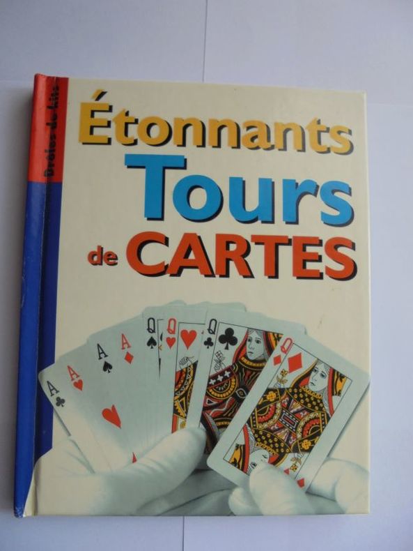
rif. 19057reliure éditeur - 14x17 - 62 tours - maxi livres 2002
1998rif. LFA-126750531Une carte routière et administrative au 1:140.000e, éditée en 1998, IGN, bon état
1999rif. LFA-126749432Une carte routière "Top 250" au 1:250.000e, éditée en 1999, bon état