12.201 Ergebnisse
1999Best.-Nr. LFA-126750291Une carte série verte au 1:100.000e, éditée en 1999, IGN, bon état
2003Best.-Nr. LFA-126744320Une carte topographique TOP 100 au 1:100.000e, éditée en 2003, bon état
2010Best.-Nr. LFA-126728943Une carte départementale routière et administrative au 1:200.000e, éditée en 2010, bon état
2014Best.-Nr. LFA-126749976Une carte départementale routière et administrative au 1:150.000e, éditée en 2014, bon état
2004Best.-Nr. LFA-126744324Une carte géographique "Local" au 1:150.000e, éditée en 2004, bon état
1964Best.-Nr. LFA019c5Une revue de 110 pages, format 170 x 230 mm, illustrée, brochée
1979Best.-Nr. LFA-126720427Un ouvrage de 192 pages, format 115 x 180 mm, illustré, broché couverture couleurs, publié en 1979, Marabout
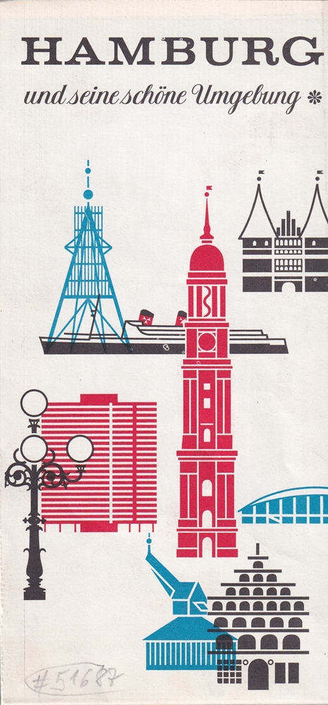
1966Best.-Nr. 51687(Hamburg, Fremdenverkehrs- u. Kongress-Zentrale Hamburg, 1966). Mehrfach gefalt. farbige Ktn.-Skizze, gezeichnet von Heinz Schultchen. Blattnmaß 42 x 60 cm. Gefalzt zu21 cm.
Best.-Nr. R100038805Non Renseigné. Non daté. In-12. Broché. Bon état, Couv. convenable, Dos satisfaisant, Intérieur frais. Un peu tachée. Bon état.. . . . Classification : 260-Cartes Postales Fantaisies
1976Best.-Nr. LFA-126750740Un ouvrage de 128 pages, format 115 x 175 mm, broché, publié en 1976, P.U.F., collection "Que Sais-je ?", bon état
Broch?. 8 pages.
Best.-Nr. 21806Neudin 1981 livre catalogue 22*15,5 543 pages
1979Best.-Nr. 2308BDortmund, Harenberg 1979. 1. Auflage. Kl.8°. 80 Taf. mit farb. Illustr. und 8 nn. S. Text. Orig.-Broschur mit Front- und RTitel und aufgezogener Illustration. (= Die bibliophilen Taschenbücher Nr. 77) 1
1977Une feuille 89x121 cm.
1985Best.-Nr. LFA-126726783Une carte routière au 1/ 200 000e, publiée en 1985, bon état
Best.-Nr. 66208Le temps apprivoisé 1993 divers dossier 30*21,5 72 pages
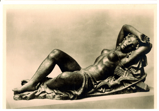
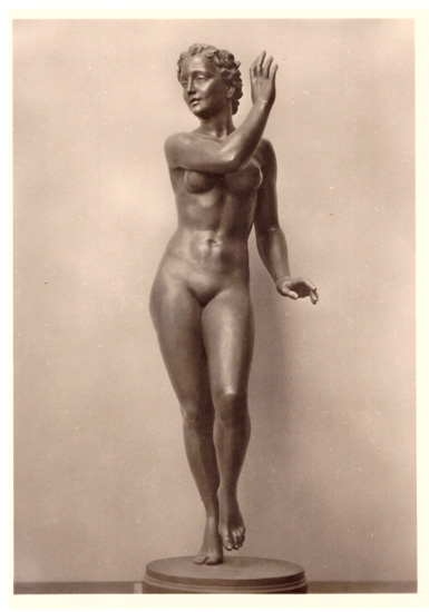
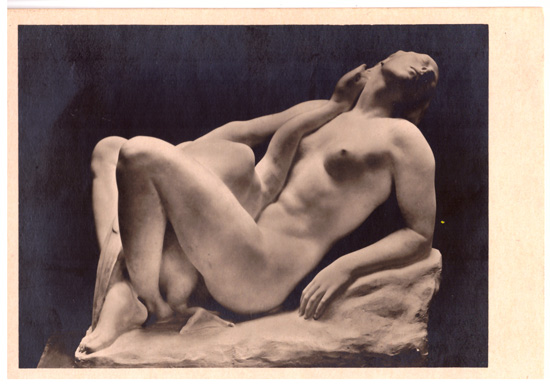
1940Best.-Nr. 3842BUm 1940. 15 x 10,5 cm.
1940Best.-Nr. 3837BUm 1940. 15 x 10,5 cm.
1940Best.-Nr. 3833BUm 1940. 15 x 10,5 cm.
Best.-Nr. 73761Editions Dangles 1983 livre guide 18*13,5 157 pages collection "savoir pour réussir"
Best.-Nr. 64830Le petit guide 1967 livre guide 15*10 279 pages
Best.-Nr. 13975076Tel Aviv (Israël): Yaakov Aviel Publisher, 1984 in-4, xvi-72 pages, 49 ill. n/b, 49 ill. coul. Broché. Collection de cartes et de vues topographiques anciennes de la Terre sainte.
1900511 pages, illustrated, introduction by George Gissing, page edges foxed, top page edges gilt. eng
1987Name/date to front end paper. No other marks or inscriptions. No creasing to covers, creasing to spine. A very clean very tight copy with bright unmarked boards, tanning to page edges and no bumping to corners. 274pp. Guide to guesthouses and hotels for vegetarians, vegans and wholefooders.