ISRAEL OG PALAESTINA -Livre Rare Book
Maps, PopoutBiblio.com
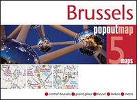
Brussels PopOut Map: New edition 2014
rif. GOR006768433Paperback. Very Good. paperback
World of Books Ltd · Regno Unito223,78 £≈ 268,39 €
12.235 risultati
1703rif. 53194(Stockholm, 1703). (41 x 53 cm.). Kobberstukket kort over Israel og Palæstina etc. med den Arabiske ørken i øst. Med stor kartouche. I passpartou.
1807rif. 31273London, Rob. Laurie and Ja. Whittle, 1807. 62x49,5 cm. Kobberstukket kort over Sverige med Sundet og til Gävle og Fahlun i nord, Gotland og den Botniske Bugt i øst. I smuk original helkolorering. Rent frisk eksemplar trykt på kraftigt papir.
1773rif. 32941Nürnberg, Homannianos Heredes, 1773. 48,5x53,5 cm. Engraved and original hancoloured map of Poland and neighbouring areas. A tear in upper margin just touching the coloured image area. A very small hole in lower part of map in the folding.
1771rif. 58006(København, 1771). (59 x 69 cm.). Kobberstukket kort over Sydøstsjælland fra Køge Bugt til den nordlige del af Møn. Opdelt i 24 sektioner og opsat på lærred således, at det ved foldning let kunne medbringes. Enkelte svage brunpletter.
rif. GOR006768433Paperback. Very Good. paperback
1862rif. H4452Edinburgh and London: Gall & Inglis 1862. Hardcover. Very Good. Ca. 1862 folded backed in original linen housed in original cloth folder with green printed title label to cover the map measures 26.75 x 22 inches; 67.5 x 56 cm and is in excellent condition with vivid coloring. No date on map or binding but we found an advertisement for this map in another Cruchley production dated 1862 and it feels right. RARE with no copies in OCLC to our knowledge. Gall & Inglis hardcover
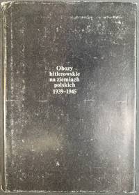
1979rif. 41930Warszawa Warsaw: Pan´stw. Wydawn. Naukowe 1979. Pamphlet. 1st Edition. Original Cloth in dustjacket 8vo 678 2 pages 36 unnumbered leaves of plates with 164 illustrations. 25 cm. In Polish. Title translates to “Nazi camps in Poland 1939 - 1945. An Encyclopaedic Reference Book.” ISBN: 8301000651. A massive encyclopedic record of Nazi camps prisons and ghettos in Poland based on extensive source material in Polish and foreign archives and research carried out by the General Commission for the Investigation of Nazi Crimes in Poland. The 5877 entries pages 87-601 are arranged in alphabetical order of location providing data on the period of existence character of and fundamental information about each site. Pages 11-86 comprise an introduction by Czeslaw Pilichowski "Hitlerowskie obozy i os´rodki przymusowego odosobnienia oraz ich rola w realizacji programu ludobo´jstwa i zaglady narodu polskiego" "Nazi Camps and Forced Detention Centers and Their Role in Implementing the Program of Genocide and Extermination of the Polish Nation". Includes a bibliography and indexes and summaries in Russian English French and German p. 657-676. The last 73 pages contain photographs. SUBJECTS: World War 1939-1945 -- Prisoners and prisons German. -- Concentration camps -- Poland. Guerre mondiale 1939-1945 -- Prisonniers et prisons des Allemands. -- Camps d'internement -- Pologne. Obozy koncentracyjne -- Polska -- 1900-1945. OCLC: 5709074. Top corners bumped some tears to dust jacket otherwise Very Good Condition in Very Good Dustjacket. Important Work. BK5 holo2-147-20. Warszawa (Warsaw): Pan´stw. Wydawn. Naukowe unknown
1881rif. 9118Algiers: Adolphe Jourdan Libraire-Editeur 1881. First edition. 22x14cm vi 70 2. Large folding map "Carte du Sahara Central par M. Camille Sabatier" and table of contents at rear. Stitched in gray laid paper wraps. Single pencil annotation on pg. 47 else clean internally and nearly fine. Scarce French Algerian text by Camille Sabatier 1851-1919 lawyer and politician who wrote extensively on the geography and politics of the Sahara region. Sabatier was French deputy in Algeria from 1885-1889. He was a member of the geographical societies of Oran and Algiers and prepared the map in this text with the assistance of French cartographer Justin Pouyanne. The work focuses on the local tribes of the Sahara region including Hamyan Trafi Laghouati Chambaa Ait-Atta Arib and Doui-Menia their interactions religions etc. The text also details trade routes geography and climate of the region arguing the ignorance of seeing the Sahara as just "a sea of sands" leads to political surprise and disaster. OCLC cites 6 holdings 4 of them in France. . Adolphe Jourdan, Libraire-Editeur unknown
1957rif. 112925Thomas Nelson & Sons 1957. hardcover. Very Good. 0x0x0. Color Maps. Slender large format hardcover in lightly shelf worn jacket now under mylar. Tight and unmarked. Oversized and overweight Please email for photos. Thomas Nelson & Sons hardcover
1720(Amsterdam, ca. 1720). 35x45,5 cm. Kobberstukket planche med 3 stockholmske prospekter, som udfylder øverste del af pladen, nedenunder fyldig tekst på fransk. 1. Palais du Roy de Suede - 2. Vuë de Stockholm - 3. Vüe du Chateau D'Yacobdal. I god original håndkolorereing. Et par smårifter i marginer.
1790(London), 1790. Kobberstukket kort over Danmark (40,5 x 40 cm.). I fuld original håndkolorering. Lidt rifter i marginer, men helt intakt.
1745(Paris, L'Imprimerie Royale, 1745). 4to. Without wrappers. Extracted from ""Mémoires de l'Academie des Sciences. Année 1742"". Pp. 371-378 and 3 folded engraved maps (1. Premier Plan Cours de la Seine dans l'etendue de Paris (20x23 cm) - 2. Second Plan ou l'on voit les Rues dont on à les pentes....les diverses Quartiers de Paris (19,5x22 cm) - 3. Coupe de la Ville de Pars... Plan des Rues... (22,5x30 cm)). Clean and fine.
1780Paris, chez Dezauche succ. De L'Isle et Buache, 1780. 49,5x65,5 cm. Kobberstukket kort over Danmark med Skåne, Halland og blekinge. Original konturkolorering. Brede marginer med mindre rifter.
1703(Stockholm, 1703). (41 x 53 cm.). Kobberstukket kort over Israel og Palæstina etc. med den Arabiske ørken i øst. Med stor kartouche. I passpartou.
1807London, Rob. Laurie and Ja. Whittle, 1807. 62x49,5 cm. Kobberstukket kort over Sverige med Sundet og til Gävle og Fahlun i nord, Gotland og den Botniske Bugt i øst. I smuk original helkolorering. Rent frisk eksemplar trykt på kraftigt papir.
1773Nürnberg, Homannianos Heredes, 1773. 48,5x53,5 cm. Engraved and original hancoloured map of Poland and neighbouring areas. A tear in upper margin just touching the coloured image area. A very small hole in lower part of map in the folding.
1771(København, 1771). (59 x 69 cm.). Kobberstukket kort over Sydøstsjælland fra Køge Bugt til den nordlige del af Møn. Opdelt i 24 sektioner og opsat på lærred således, at det ved foldning let kunne medbringes. Enkelte svage brunpletter.
1870rif. 5388Gall & Inglis' 1870's-1880's. Paperback. Very good. VGC.Gall & Inglis'.No date given but probably 1870's to 1880's prior to London Tower Bridge build which is not included on the map.Green hardbacksmall dentsnicks and light shelf wear on the cover with folded map in VGC.The map is in VGC but with small stain marks and foxing marks on the edgessmall tear on the edge of the map.The map is hand coloured and includes:RailwaysRailway StationsSteamer RoutesOmnibus and Tramway RoutesParks.The size of the map is: 30x20 inch.The scale of the map is: 3 3/4 to 1 mile.The map covers: From Hyde Parkincluding parts of Kensington Palace to Blackwall and from Mildmay Park to South Lambeth.The map is in VGC for its age. A collectable and scarce map. Gall & Inglis' paperback
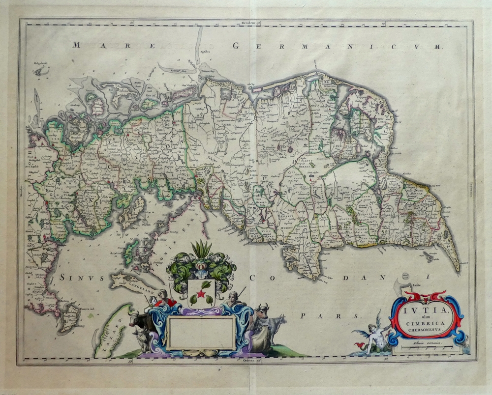
1667rif. 79684[Amsterdam, Johannes Blaeu, [ca. 1667]. Darstellung ca. 43,5 x 57,5 cm., Blatt ca. 52 x 61 cm.
rif. 42026Chartres.Garnier.1869.Petit in-8 de 450 p.16 p.de Catalogue.Nombreuses planches dont certaines avec couleurs. TBE.Demi-reliure à coins postérieure,en velin verni. Caractères rouges et noir au dos.Couv. et dos conservés.
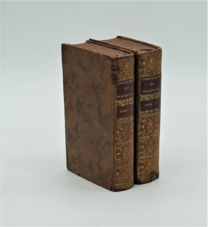
1730rif. PHO-1238Paris, Compagnie des Libraires, 1730 ; 2 volumes in-12 de 15 ffnch., 606 pp., 13 ffnch., 6 ffnch., 560 pp.,12 ff. Et illustré de 2 cartes ( Golfe du Mexique et environs du lac du Mexique) et 11 planches ,la plupart dépliantes (Vue du Rio de Canoas, l'Ile de Cuba au port St Jacques, vaisseaux de Cortez désagréés sur une plage, bataille dans la vallée d'Otumba, vue de Mexico, etc..), relié plein basane marbré , dos lisse orné avec pièces de titre et tomaison rouge , tranches rouges , quelques petits accidents et restaurations aux reliures , petit manque de papier au titre du tome 1 sans atteinte.
rif. 83811aafBerlin, Ernst Siegfried Mittler und Sohn, o. A. (1874 - 1881), in-8vo, 24 mehrfach gefaltete Karten und Pläne, viele davon mehrfarbig mit deutschen und französischen Truppen und Stellung in rot und blau, an den Kanten etwas gebräunt und einige kleine Einrisse, ansonsten guter Zustand, Orig. Kartenkassettendeckel in dunkelblauer Leinwd. mit reicher Blindprägung, Vorderdeckel: Eisernes Kreuz mit Jahrzahl 1870, auf Rückendeckel Kaiserkrone und Jahrzahl 1871, gedr. Verz. der Karten auf Innenseite des Vorderdeck., Rücken und Leinenschnüre fehlen, ansonsten guter Zustand.
1949rif. 12696Porto, [Associação Commercial do Porto], 1949. Petit in-folio de 242-[2] pages, plein veau aubergine, dos lisse orné de grappes de raisins, du titre et de la date (1948) dorés, quadruple filet doré, titre avec encadrement et date dorés, décors à froid, de vigne au premier plat, de bouteilles au second.
rif. 116355aafs.l., s.d. (vers 1800) 34 x 44 cm, carte gravée tirée sur papier bleuâtre, ‘Lisbonne’ en couleurs, titre en haut à gauche ‘Superficie 1, 500,000 Toises, Echelle de 600 Toises , a droite en haut: N.B. On a indiqué par une teinte differente la partie de la ville qui’à été rebatie depuis le tremblementr de terre de 1755, 1 plan de Lisbonne
1823rif. 19071Paris, Lelong, 1823. 5 volumes in-12 de [4]-IV-251; [4]-231; [4]-239; [4]-255-[1]; 292 pages, demi-veau glacé rouge, dos lisse orné de filets et fleurons dorés.