12.365 risultati
1974796 pages. Written in German. Abundantly illustrated with black and white photographs. Includes two detailed maps stored in pocket inside back board. "Dieses Buch sollte ein Werk unseres hochverdienten Heimatfreundes Josef PreuBler werden. Es kam nicht dazu. Der Tod riB dieson besten Kenner unsurer Heimat and Bewahrer ihrer werte viel zu fruh aus unserer Mitte. Bis zur Halfte des 18. Jahrhunderts war die "Geschichte" fertiggestellt. Doch die Vielen LebensauBerungen unserer Stadt auf allen Gebieten der Kultur, Wirtschaft und Kunst blieben ungeschrieben. Wie aber wuBte er unsere Heimat gerade aus dieser Sicht in unzahliegn Vortragen, Beitragen, besonders fur die Reichenberger Zeitun und in Buchern vollendet darzustellen! Auch das Reichenberger archiv verdankt ihm eine Sammlung wertvollster Unterlagen, die er durch sein Ansehen in einem groBen BekanntenKreis und durch einen jahrelangen, umfangreichen Briefwechsel gewinnen konnte. So war reiches Material vorhanden, das nun fur den ganzen Inhalt des Buches verwendet werden konnte. Ohne seine bemuhungen hatte es nicht geschrieben werden konnen. So gesehen ist es in den Grundlagen auch sein Werk." - from Author's Foreward. Blue cloth boards decorated with partially worn gilt lettering and graphic. Front hinge open. Bit of writing upon front endpaper and reverse side of one map, else generally clean and unmarked. Contents partially yellowed. Average wear to book. Dust jacket heavily worn. Remains a useful copy. Book
194533"x23" reinforced paper map. Undated - circa 1945? Scale: one quarter inch to one mile Geographical Section, General Staff, No. 3957 (Air). "F/O Ellis" neatly printed in each corner in ink. Average wear. Book
200089 pages. Selected bibliography. Illustrated in colour. "Thirty-nine Earth Change maps spanning a vast period of time, from 4 million BC to 15,000 AD, come to light in a little village in South Africa. Their architect, Hans Luhdo, produced them in only 5 months. The pivotal maps are those drawn for the year 2000. The speed with which they were created suggests that he was a man driven, racing against time. A few weeks after the last map was completed, he died." - from back cover. Clean and unmarked with light wear. Nice copy. Book
1985252 pages. Examines the social and economic aspects of life in St. Edmonds since its beginning. Contains a blend of information from a number of sources including newspapers, scrapbooks, diaries, letters, photos, and other authors' research. Includes a treasure trove of genealogical information. Numerous black-and-white illustrations. Black-and-white photographic endpapers. Other than some hand-written genealogical details hand-written upon the family tree on page 205, book is clean, bright and unmarked with negligible wear. Moderate wear and bit of sunning to colourful dust jacket. Excellent copy overall. Book
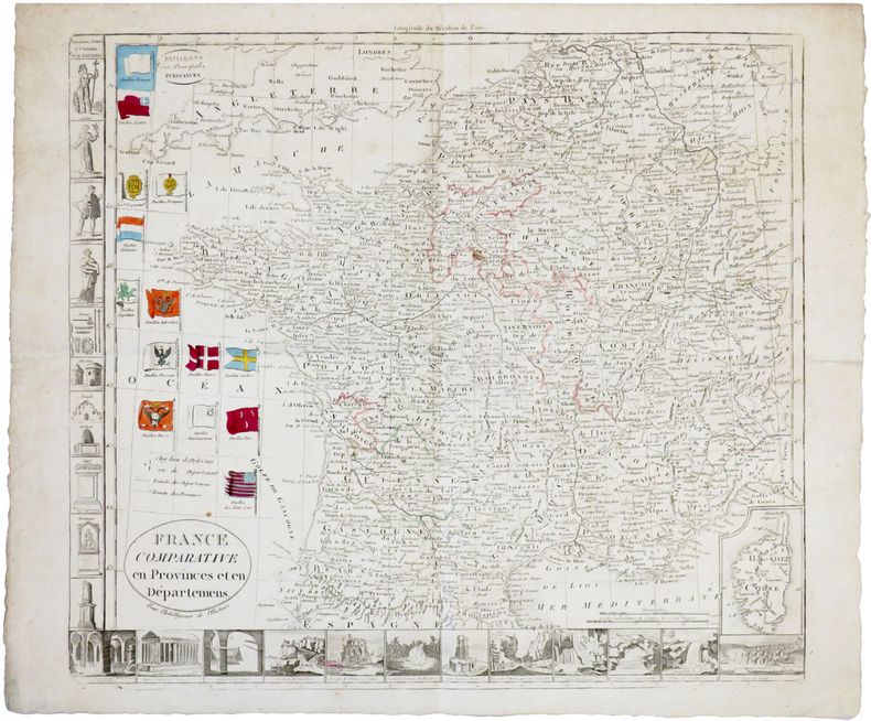
1813rif. 4796Nuremberg, bey Christoph Fembo, 1813. 1 carte coloriée et repliée de 50 x 60 cm.
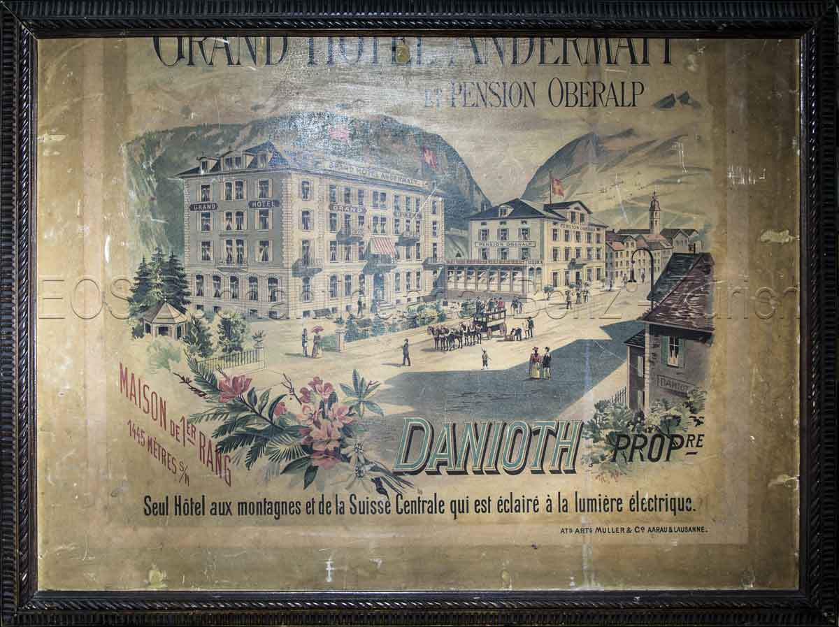
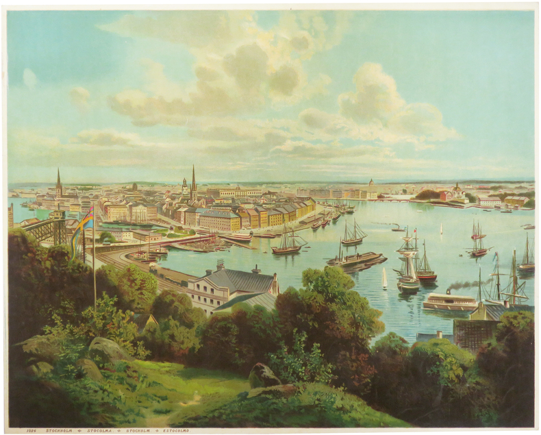
1890rif. 828CGAargau & Lausanne, Ats. Arts. Müller & Co., (um 1890). Farbige Lithografie. Blattgrösse: 60 x 80 cm. + Wichtig: Für unsere Kunden in der EU erfolgt der Versand alle 14 Tage verzollt ab Deutschland / Postbank-Konto in Deutschland vorhanden +, Abb.
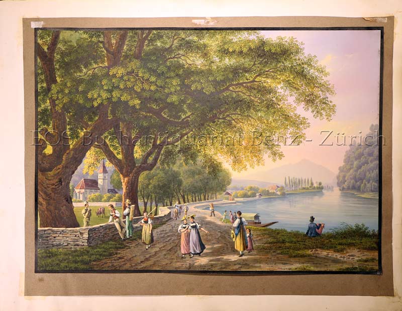
1835rif. 786CGO.O., um 1835. Altkolorierte Aquatinta. 19,4 x 27,4 cm. + Wichtig: Für unsere Kunden in der EU erfolgt der Versand alle 14 Tage verzollt ab Deutschland / Postbank-Konto in Deutschland vorhanden +, Abb.
rif. 963191952 cartes - complet - lithographie couleur - 1919 - cartes de cour,as,et cartes de points avec proverbes a la gloire des nations alliées de la première guerre mondiale - Fabricant:Léonard Biermans - Turnhout - Belgique - Jeu tranches dorées - bon état - en boite d 'origine .
rif. KART0140o.O., Vlg. u. J. (ca 18. Jahrhundert). Benard, Robert (1774). Vue du côté N.O. de Masafuero. Institut Cartogràfic de Catalunya 1774. Ansicht: 29,7x16,7 cm, Blattgröße: 35x37 cm. (Cook,'s Third Voyage. Tome I, Pl.8); Anson, Baron George. A plan of Iuan Fernandes Island in the South Sea, lying i
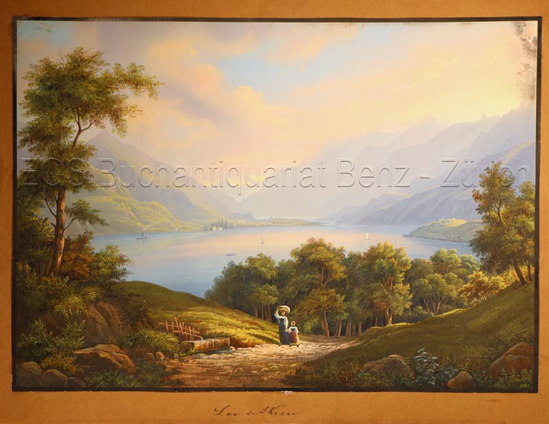
1835rif. 628DGO.O., um 1835. Altkolorierte Aquatinta. Bildgrösse: 19,8 x 27,8 cm. + Wichtig: Für unsere Kunden in der EU erfolgt der Versand alle 14 Tage verzollt ab Deutschland / Postbank-Konto in Deutschland vorhanden +, Abb.
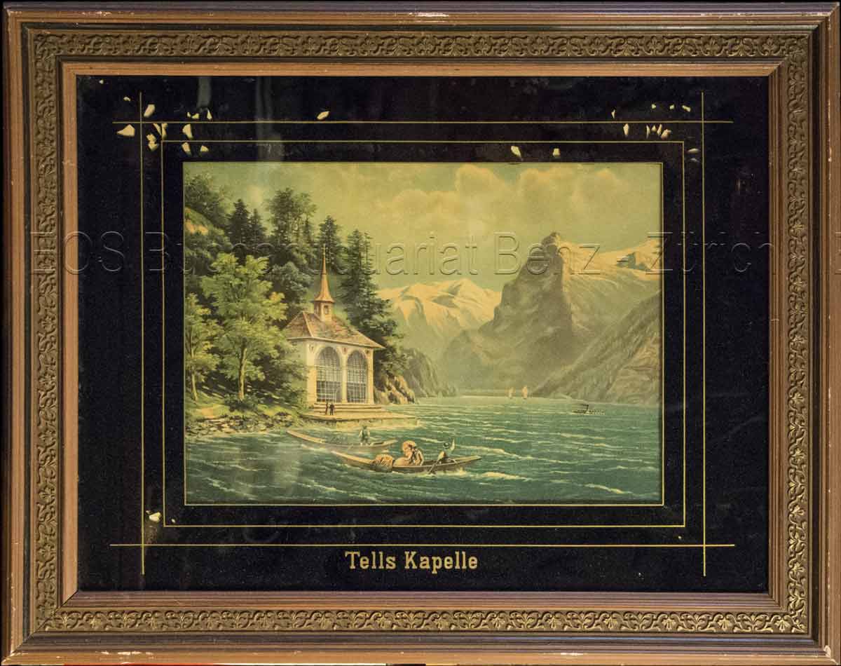
1860rif. 824CG(um 1860). Chromolithographie hinter Glas. Bildausschnitt: 24 x 33 cm. + Wichtig: Für unsere Kunden in der EU erfolgt der Versand alle 14 Tage verzollt ab Deutschland / Postbank-Konto in Deutschland vorhanden +, Abb.
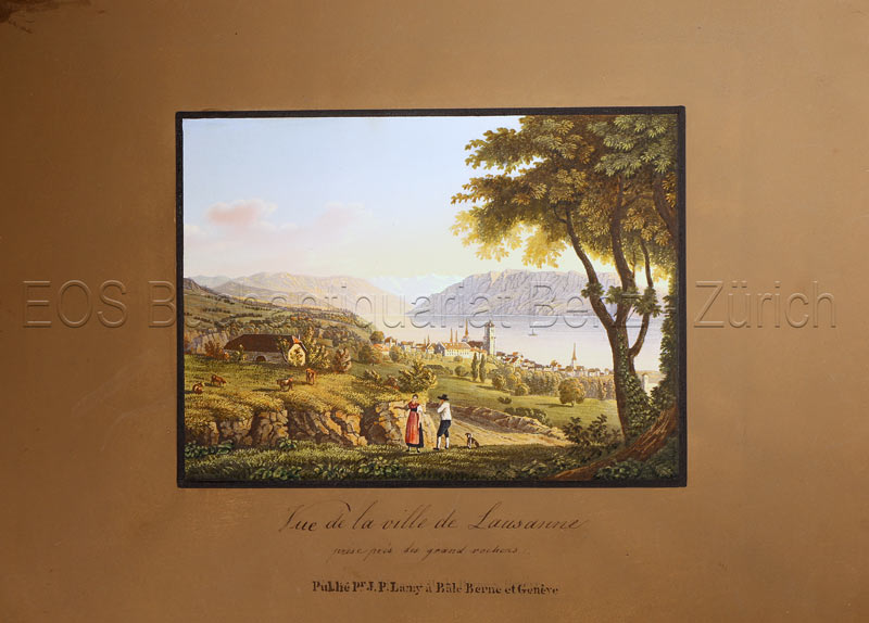
1820rif. 778CGBâle, Berne et Genève, Publié par J. P. Lamy, um 1820. Altkolorierte Aquatinta. Bildgrösse: 11,8 x 16 cm. Blattgrösse: 19,8 x 27, 3 cm. + Wichtig: Für unsere Kunden in der EU erfolgt der Versand alle 14 Tage verzollt ab Deutschland / Postbank-Konto in Deutschland vorhanden +, Abb.
rif. 1965Paris Librairie Larousse 1915-19. 1st Edition . Hardcover. . ~ ~ NOTE: THE PRICE OF THIS BOOK IS CURRENTLY REDUCED! ~ ~ . 41 issues bound in one volume. Thick royal quarto. Unpaginated. With hundreds of letterpress maps many of which are in colour printed on recto only on 246 leaves of plates. Some photo-plates. Explanatory text to each map. Introductions. HARDCOVER bound in contemporary quarter cloth bit rubbed and scuffed in places paper-covered boards cloth inner hinges spine gilt. All 41 original yellow card wrappers printed in red are preserved and bound-in few with old institutional stamp; expert paper repair to one leaf with minor loss. In about fine condition. Excellent copy very well preserved. ~ FIRST EDITION. Very rare. F-3 Paris, Librairie Larousse, (1915-19). hardcover
1700rif. LBW-7436[vers 1700]. 28,5 x 39,6 cm.
1900rif. LBW-8921[vers 1900]. 330 x 423 mm, marges comprises.
1900rif. LBW-8937[vers 1900]. 329 x 422 mm, marges comprises.
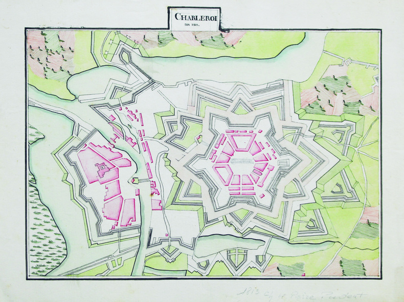
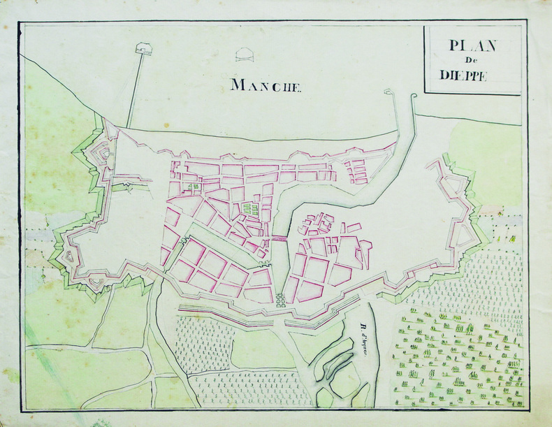
1813rif. LBW-6602An 1813. 23,5 x 30 cm, sur une feuille de 26,7 x 35 cm.
1790rif. LBW-6775[circa 1790]. 372 x 411 mm.
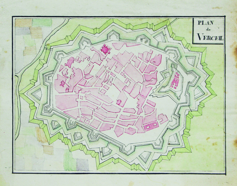
1810rif. LBW-6599[vers 1810]. 26,5 x 33,5 cm, sur une feuille de 30,5 x 37,8 cm.
1810rif. LBW-6605[vers 1810]. 16,5 x 22,5 cm, sur une feuille de 21,5 x 25,6 cm.
1800rif. LBW-6564[vers 1800]. 24 x 38 cm environ.
rif. 218132A Paris, chez l'Auteur, (c.1712) 48 x 64 cm (à vue), encadrée sous verre (cadre XXe siècle). Infimes pliures. Quelques déchirures à la marge.
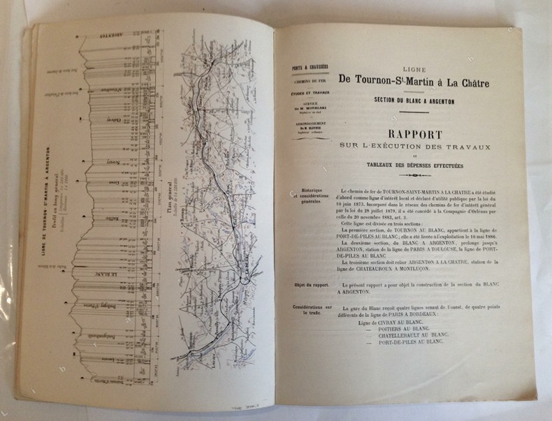
1889rif. 10851Poitiers, Imprimerie Blais, Roy et Cie, 1889 ; grand in-4, broché ; 57 pp., (1) p. bl., profil en long et plan général en couleurs en frontispice, (38) pp. de planches et dessins des principaux ouvrages (viaduc de Villerie ; passage supérieur d'Anzan ; passage supérieur des Zéros ; Pontceau de Bois-Marmin ; pont biais sur la Creuse à Saint-Gaultier ; pont de décharge de St Gaultier ; pont biais sur la Creuse à Conives ; plan d'ensemble des abords du Blanc ; plan de la Gare du Blanc ; plan des stations entre Le Blanc et Argenton), couverture rose.
rif. 230822Bruxelles, Eugène Henrÿ FRICX, 1709 sans les marges : 42 x 54 cm - cadre : 60.5 x 70.5 cm, cadre contemporain à baguettes. Pliure centrale. Quelques taches.
rif. 227567Paris, Ch. Picquet, 1833 plan dépliant de 59 x 89 cm, en feuilles, entoilées.