Philip's MapsBiblio.com
12.595 Ergebnisse
Best.-Nr. GOR006011771Paperback. Good. paperback
Best.-Nr. GOR003215507Paperback. Very Good. paperback
Best.-Nr. SONG1599289490Used: Good unknown
1954Best.-Nr. 058667New York Ny: Jack And Charlie's "Twenty-One" / "21 1954. 1st Edition . Hardcover. Near Fine. 71 Pp. Red Cloth Gilt And Stamped In Blind. #343 Of A Limited Edition Of 1000 Copies. Lightly Used No Fraying Or Stains Gilt Brilliant. Ownership Stamp Of Fred Herrington 1898-1971 A California Lawyer Whose Collection Of Menus Is Held At Uc Davis. Jack And Charlie's "Twenty-One" / "21 hardcover
Best.-Nr. S17M-01576Horton Family Maps. Used - Good. Good condition. A copy that has been read but remains intact. May contain markings such as bookplates stamps limited notes and highlighting or a few light stains. Horton Family Maps unknown
1844Best.-Nr. 63111London: J.&C. Walker 9 Castle Street Published by Longman & Co. ca. 1844. 16mo. 3.5 x 5 in. folding out to 13.25 x 16.5 in. dissected 15-panel hand-coloured steel-engraved map linen-backed w/ 3 leaf folding population and mileage distance chart from Dublin by County mounted on front pastedown. Dark gray-green publisher’s cloth portfolio pocket binding decorative borders in blind gilt lettering stamped on front cover a NF copy. First edition thus of this very scarce dissected pocket map of Ireland published against the backdrop of the full impact of the Great Potato Famine which from 1841-1851 resulted in the diaspora and death of nearly 30% of the Irish population and as reflected in the mileage table mounted with the map the population in 1845 had already dropped from 8.2 million in 1841 to 7.7 million by 1844 and it would plummet further to below 6.5 million by 1851. The bulk of these emigrated to the United States Canada and the United Kingdom resulting in the fact that Ireland’s current population still resides below the high of 1841 and nearly 38 million Irish-Americans claim descent from the successive waves of migration much of which channeled through New York’s Lower East Side and the Bowery in the 19th-Century. John Walker 1787-1873 was a British mapmaker engraver lithographer hydrographer draughtsman and publisher publishing nautical charts and geographical maps with his brothers Charles and Alexander in their firm J.&C. Walker located at 9 Castle Street Holborn from 1841-1847 and moving to 37 Castle St. in 1848 where they remained to 1875. Much of their work was published under the auspices of the Society for the Diffusion of Useful Knowledge or S.D.U.K. Worldcat locates 1 copy Yale. J.&C. Walker, 9 Castle Street, Published by Longman & Co., hardcover
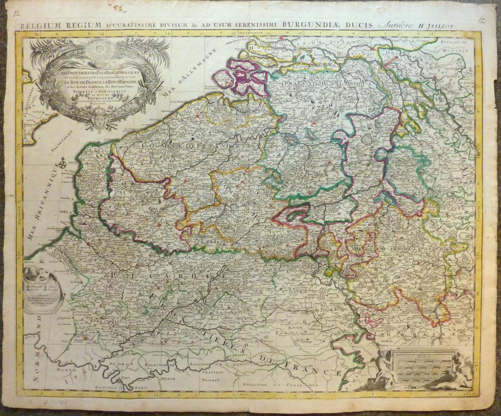
1693Best.-Nr. 52184Paris, H. Jaillot, 1693. Blattgröße ca. 54 x 65 cm, Bildgröße ca. 48 x 61 cm.
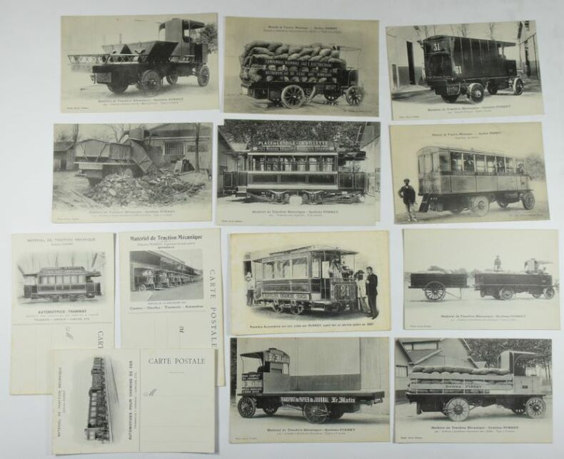
Best.-Nr. 642914 cartes postales 142 x 90 mm, 11 avec une photo n/b, 3 blanches avec une photo au verso, carte n° 4. : claires rousseurs, très bel ensemble, très bel état.
1733Best.-Nr. 26471Gouvernement Général de Guienne et Gascogne dédié au Roy, Dressé sur les Mémoires et Nouvelles Observations de Messieurs de l'Accadémie Royalle des Sciences, par son très humble et très Obeissant, très fidel sujet et Serviteur Bernard Antoine Jaillot, Geogr. Ordr. de Sa Majesté, Quay des Grands Augustins, carte au format 100 x 50,5 cm, en deux feuilles jointes, frontières et villes rehaussée à l'aquarelle, Paris, 1733
1951Best.-Nr. AUB-3999Paris, A. Quillet 1951. 4 beaux volumes reliés, reliures demi cuir ornées d'éd., forts in-4, plus de 2000 pages.
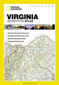
Best.-Nr. 1597755567-7-1National Geographic Maps. 2013. Acceptable. The item might be beaten up but readable. May contain markings or highlighting as well as stains bent corners or any other major defect but the text is not obscured in any way. National Geographic Maps unknown
Best.-Nr. 1597755567-11-1National Geographic Maps. 2013. Very Good. It's a well-cared-for item that has seen limited use. The item may show minor signs of wear. All the text is legible with all pages included. It may have slight markings and/or highlighting. National Geographic Maps unknown
Best.-Nr. SONG0824834399Used: Good unknown
Best.-Nr. SONG0521816696Used: Good unknown
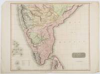
1816Best.-Nr. 185242London.: Thomson. 1816. Engraved map with full handcolour 50.5 x 59.7 cms ; 53.9 x 73.8 cms sheet central fold a few minor edge tears one intruding into the top border the map unscathed marginal edgewear two corners with some loss but the map in very good crisp condition. An elegant map with great detail prepared for John Thomson's influential "New General Atlas" 1814-1821. Showing India from 20 degrees to 7 degrees north of the equator and includes the northern half of Ceylon with territorial interests attractively coloured. . Thomson. unknown
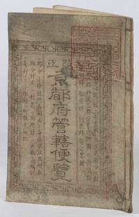
1873Best.-Nr. 216097京都. Kyoto.: 村上勘兵衛. Murakami Kanbei. Meiji 5 1873. Black and white woodblock maps and city plan 22 x 15.3cm 17 double-folded leaves 4 hole string binding. Covers worn and soiled chop on upper cover. This guide to Kyoto and its surroundings includes two double-page and twelve single-page pictorial maps published around Meiji 5 1873. Each map highlights geographical features place names and major buildings such as Buddhist temples within Kyoto and its surrounding areas. The latter section covers three counties of the Tanba region offering a detailed look at the area beyond Kyoto itself. . 村上勘兵衛. [Murakami Kanbei]. unknown
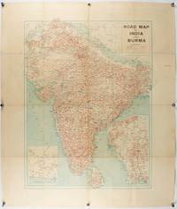
1940Best.-Nr. 211089Bombay.: Joshi & Co. circa1940. Colour lithographic map 66 x 50 cms; 81.x 68.5 cms sheet two inset maps and on the verso a full sheet "Relief Map of India" original folds with fold splits archivally strengthened several city names have been neatly underlined “Agartala” inked in the margin overall in good condition. Scarce Bombay-published map of the pre-Partition Indian sub-continent with two small inset maps one showing roads around Karachi and the other Burma. Through Routes Other Main Roads and Motorable Roads Subject to Weather are marked. The "Relief Map of India" on the verso includes Railway Lines Canals Steamer Routes Rivers Air Routes Navigable Canals and Broadcasting Stations. . Joshi & Co. unknown
1910Best.-Nr. 175858Calcutta.: E. I. R. Press. circa1910. Folding engraved map 33.5 x 73.5 cm river systems in blue attractively bursting the borders of the map inset map of the network into Calcutta legend noting stations lines under construction and foreign railways; original folds two small fold splits with no loss slight overall toning more noticeable at the folds in very good condition. Attractive map capturing one of the busiest areas of a staggeringly vast railway network. The Barharwa-Azimganj-Katwa loop is marked under construction. Scarce. . E. I. R. Press unknown
Best.-Nr. GOR006768433Paperback. Very Good. paperback
1720Best.-Nr. 32940(Amsterdam, ca. 1720). 35x45,5 cm. Kobberstukket planche med 3 stockholmske prospekter, som udfylder øverste del af pladen, nedenunder fyldig tekst på fransk. 1. Palais du Roy de Suede - 2. Vuë de Stockholm - 3. Vüe du Chateau D'Yacobdal. I god original håndkolorereing. Et par smårifter i marginer.
1790Best.-Nr. 53251(London), 1790. Kobberstukket kort over Danmark (40,5 x 40 cm.). I fuld original håndkolorering. Lidt rifter i marginer, men helt intakt.
1745Best.-Nr. 46589(Paris, L'Imprimerie Royale, 1745). 4to. Without wrappers. Extracted from ""Mémoires de l'Academie des Sciences. Année 1742"". Pp. 371-378 and 3 folded engraved maps (1. Premier Plan Cours de la Seine dans l'etendue de Paris (20x23 cm) - 2. Second Plan ou l'on voit les Rues dont on à les pentes....les diverses Quartiers de Paris (19,5x22 cm) - 3. Coupe de la Ville de Pars... Plan des Rues... (22,5x30 cm)). Clean and fine.
1780Best.-Nr. 31052Paris, chez Dezauche succ. De L'Isle et Buache, 1780. 49,5x65,5 cm. Kobberstukket kort over Danmark med Skåne, Halland og blekinge. Original konturkolorering. Brede marginer med mindre rifter.
1703Best.-Nr. 53194(Stockholm, 1703). (41 x 53 cm.). Kobberstukket kort over Israel og Palæstina etc. med den Arabiske ørken i øst. Med stor kartouche. I passpartou.
1807Best.-Nr. 31273London, Rob. Laurie and Ja. Whittle, 1807. 62x49,5 cm. Kobberstukket kort over Sverige med Sundet og til Gävle og Fahlun i nord, Gotland og den Botniske Bugt i øst. I smuk original helkolorering. Rent frisk eksemplar trykt på kraftigt papir.