Livre Rare Book

12 070 résultats
1880réf. 46401587Frankfurt/Main, C. L. Wüst, [vers 1880] ; 52 cartes petit format (35 x 26 mm), Chromolithographiées dans leur étui cartonné illustré d’origine Très rare jeu allemand miniature, complet, en bon état dans sa boite d’origine.
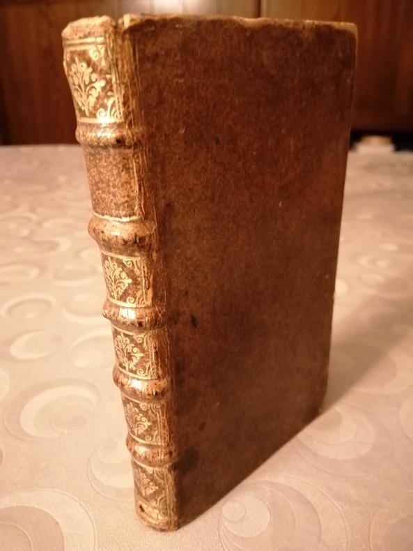
1709réf. 003375Pierre Ribou, 1709 in-12 (16 x 10 cm), 6 ff., 166 pp. 6 ff., 33 pp., 1 ff. reliure d'époque, veau brun, dos à 5 nerfs orné, (pièce de titre absente), dentelle or sur les coupes. Cette édition est la sixième. Nombreuses figures explicatives dans le texte, manque le frontispice, ex-libris manuscrit : "Madame de Bellemare la jeune" (légères traces d'usage).
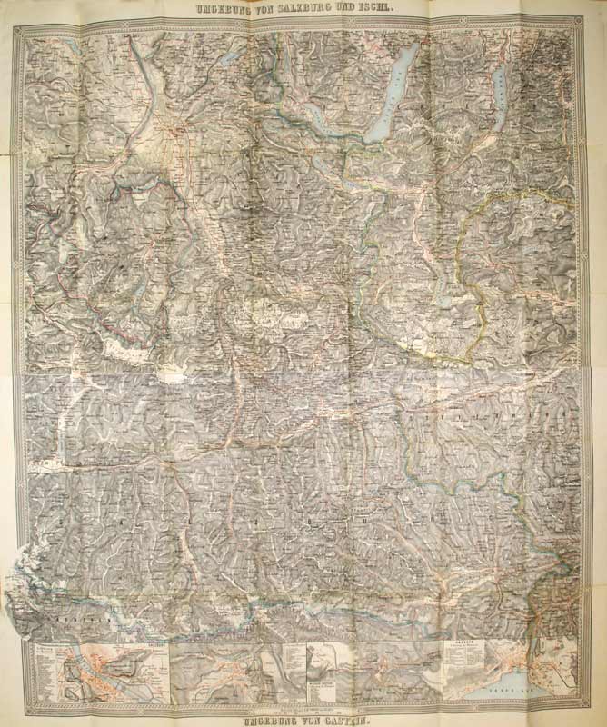
1880réf. KART0063o. O. Vlg. u. J. (um 1880). 85x72 cm, kol. Mehrfarbendr. m. Schraffen u. Legenden, Hauptkarte Umgebung von Salzburg und Ischl, 3 kl. Nebenkarten: Salzburg, Ischl, Wildbad Gastein u. Gmunden,
réf. 9431Emouvant lot de 2 Cartes Postales maunuscrits et 2 entiérement dessinées par un " Poilu " : le Caporal L.Didier, expédiées depuis le Front à son épouse. Correspondance des Armées de la République, datées de 1915. 2 cartes postales sont une correspondance entre le le Caporal L.Didier et son épouse, les 8 autres sont entièrement illustrées par de superbes dessins originaux, humoristiques, en couleurs signées du pseudonyme de Misti ou Mée. Une d'entre elle, adressée au fils de l'auteur, présente une découpe ou était glissé un brin de violettes. Toutes sont en superbe état, au format 13,5 x 9 cm. Magnifique et émouvant ensemble. De toute rareté.
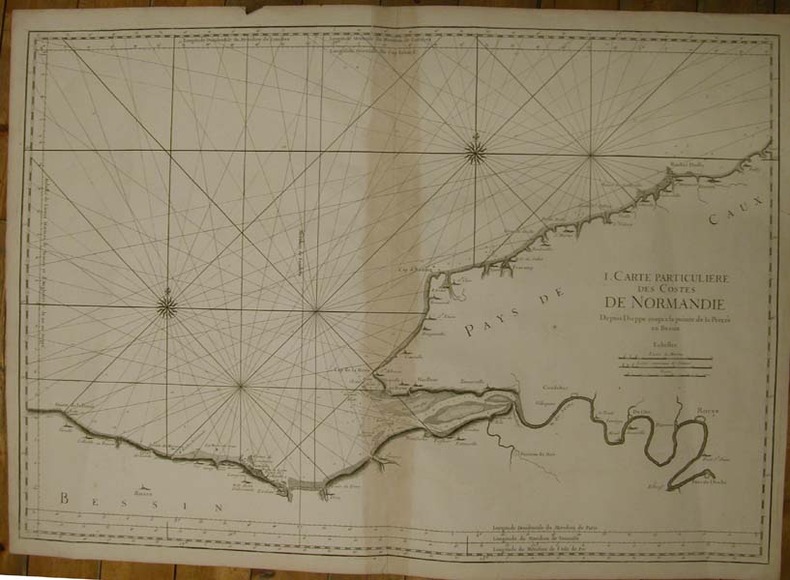
réf. 13358S.n.l.n.d. [Imp. Du Dépt. De la Marine,1753]. Grande carte marine sur vergé fort (88 x 63 cm), sans nom d'auteur ni de date, avec les échelles de mesure des longitudes et des méridiens sur le pourtour, notamment celui de l'Isle de Fer, une échelle des distances en lieues marines, terrestres et en toises (pliure au centre avec brunissure à l'emplacement de l'onglet).
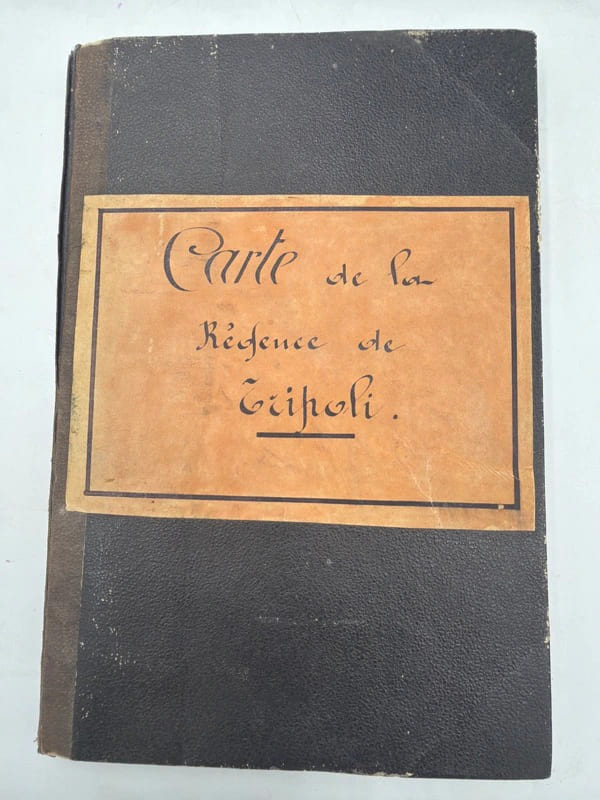
réf. 245529Paris, Imprimerie Lemercier, 1850, carte de 82 x 69 cm entoilée et repliée au format in-12, demi-percaline modeste, dos lisse muet, titre porté sur une étiquette orangée contrecollée sur le plat supérieur (reliure de l'époque). Des mouillures claires.
réf. 238715Avignon, Alexandre Giroud, 1761 in-4 carré, 13 pp., demi-veau cerise, dos lisse fleuronné (reliure moderne). Dos insolé et passé.
réf. 9519P., B.-P. Grimaud, (2ème moitié du XIXème siècle). Enseignes françaises, en pied, chromolithographies, coins très légèrement arrondis, 54 cartes (Etui cartonné incomplet) en bonne condition.
réf. 99331882. Plan manuscrit aquarellé (55 x 35 cm), nombreuses annotations manuscrites reprises sur le plan original.
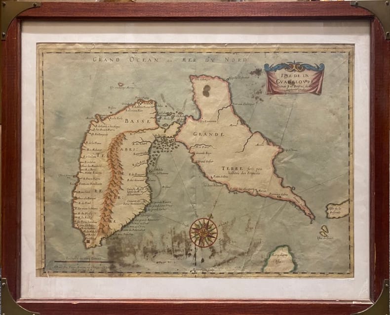
réf. 230537Paris, MARIETTE Pierre, (vers 1662) à vue : 32 x 43,5 cm - cadre : 43 x 52.5 cm , Cadre du XXe siècle. Déchirures dont une au coin inférieur gauche et une au niveau inférieur de la pliure centrale. Taches.
1890Originalfotografie auf strukturiertem Papier. 315:570 mm. Hinter Glas gerahmt. Rahmen mit Originaletikett des Wiener Rahmenmachers Heinrich Klingseis in der Gumpendorferstraße.
1775réf. LBW-579[1775-1781]. 490 x 665 mm.
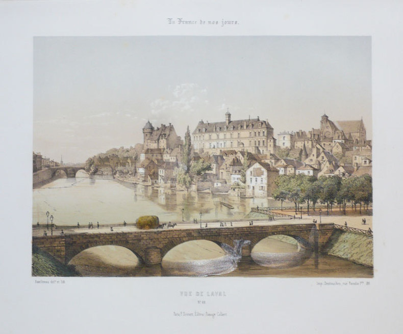
1855réf. LBW-892Paris F. Sinnett circa 1855 242 x 275 mm.
1920Vintage 1920 New York State road map. 24" x 18.75". Somewhat tender with several openings at fold lines and junctures through use. Two faint contemporary ink stamps on back panel. Average wear. Back side provides city maps for New York City, Buffalo, Rochester, Utica, Syracuse, Brooklyn and Binghamton. A worthy copy of thiis wonderfully nostalgic item. Book
1782Mappa del mondo, basata sulla proiezione di Mercator, disegnata da Seguin e pubblicata da Robert Benard.Incisa da J. B. L. Aubert, la mappa fa parte dei Voyages autour du Monde et vers les deux Poles par Terre et par Mer, di Pierre Marie François de Pages, stampato nel 1782.Nato da una famiglia nobile, l'ufficiale di marina francese Pierre Marie François de Pages fece un viaggio di cinque anni in tutto il mondo, tra il 1767 e il 1771. Successivamente partecipò a un viaggio di due anni al Polo Sud, tra il 1773 e il 1774. Alla fine ho fatto un viaggio al Polo Nord nel 1776. Questi viaggi sono stati raccontati nella sua pubblicazione del 1782.Incisione in rame, solite pieghe di carta, altrimenti in buone condizioni. Map of the World on Mercator's projection by Seguit and Robert Benard.Engraved by J. B. L. Aubert the map is part of the Voyages autour du Monde et vers les deux Poles par Terre et par Mer, by Pierre Marie François de Pages, printed in 1782.Born of noble family, a French naval officer, Pierre Marie François de Pages, made a five-year voyage around the world, between 1767 and 1771. Subsequently he took part in a two year voyage to the South Pole, between 1773 and 1774. Finally he made a trip to the North Pole in 1776. These voyages were recounted in his publication of 1782. Engraving, usual folds, otherwise in good condition.
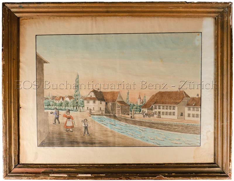
1868réf. 560BG1868. Aqarell. Bildgrösse: 37 x 48 cm. + Wichtig: Für unsere Kunden in der EU erfolgt der Versand alle 14 Tage verzollt ab Deutschland / Postbank-Konto in Deutschland vorhanden +, bild Holzrahmen mit Gebrauchsspuren.
1942Pages 625-644. Features: Cover Photo Portrait of 60-ton M-1 Tank Crushing Heavy Truck; Photo of FDR presenting Congressional Medal of Honour to Brig.-Gen. James Doolittle, while Mrs. Doolittle looks on; Six great photos from Chunking show how the resilient populace is coping with the war; The Campaign in Burma (article); "Japan's Successes in Burma - by Infiltration and Light Equipment" - six photos; The Kharkov Battlefield - six action pictures from the Russian Front; Two-page illustration of Red Air Force using "Stormoviks" and other fast-flying tank-busters attacking panzer divisions; Amazing four-page centerfold presents illustrations of ships of the British Navy from Alfred the Great to the Present Day; Eight photos of bomb damage in Bath, Norwich and York after German "Baedeker" raids; Photos of personalities of the week include Commander R.E.D. Ryder, V.C., Able Seaman W.A. Savage, V.C., Lieut.-Commander S.H. Beattie, V.C., Marshal and Madame Chiang Kai-Shek with General Joseph Stilwell, and scapegoated Nazi Food Minister Walther Darre; Two-pages with three maps illustrate "Tokyo - the most inflammable capital in the world, vulnerable war industries in a bamboo-built city"; Six-photos of high-speed reconstruction in Chungking in response to Japanese bombing; Ten photos present 'Novel points in warship design and camouflage'; Two pages with 18 illustrations present 'Defence and Attack as used in Army Training To-Day, Demonstrated in the seventeenth century (reproductions courtesy of Bernard Quaritch); Six photos of Paris under the Nazi heel after two years of occupation; The Soong Sisters - two photos of them in bombed Chungking; Nice photo ad for Ferodo with photo of five men dragging large mine onto beach; more vintage ads. Minor nibble from foot of spine. This copy was never stapled. Clean and unmarked with moderate wear. A quality copy of this vintage issue. Book
1942Pages 161-192. Features: Two pages of illustrations of dozens of U.S. Navy, Army and Air Force badges of rank; Photo of the H.M.S. "Barham", lost in the Mediterranean on November 25, 1941; Photo of crashed 'Sunderland' aircraft and her crew who were taken prisoner by Italy when they drifted to shore; Maps and photos of Burma and Amboina; Photo of Dutch submarine bringing U-boat prisoners to a British port; Photo of Capitan-Lieut. Gert Schreiber, of the sunken "U-95" coming ashore from the Dutch submarine; Pearl Harbor burial scene in Nuuanu Cemetery; Photo of "Norness" sunk 60 miles off Long Island; Photos of Damaged enemy vehicles outside Bardia, and dug-outs for Officers; Six photos in the Western desert (in Africa) - captured Panzer Commander General Von Ravenstein, captured U-boat crew, Axis naval prisoners under Sikh guard, German anti-tank mines removed by South African Engineers; The Debate and Its Results - article with maps of the Donets Basin and Benghazi; Photos of twelve personalities of the week include Major Barbara Stimson, Lieut. Achsa Bean, Sir Edward Meyerstein, Pan-American Conference at Rio, Mr. Curtin meeting defense chiefs, Vidkun Quisling, Sir Cecil Graves, Mr. R.W. Foot, Manuel Quezon and General Douglas MacArthur; Two photos of Japan's Imperial Household Guards; Five photos of American 'White' trucks used to haul British tanks; Photo of scorched earth at what was a Malayan rubber plantation; Photos from Singapore and the Malay Peninsula; Centerfold relief map entitled "Singapore Island Besieged by Japan - from Johore to our beleaguered fortress in the far east; Two-page illustration of an American Infantry Unit in an Irish village; Two pages with eleven dramatic illustrations of the Battle of Macassar Strait - Japan's greatest naval defeat of the war; One-page illustration shows how the main tank force is screened and supported by other mechanised units; One-page illustration of the formation of a battle fleet steaming into action; Two photos and cross-section diagram of the Jet-propelled Caproni-Campini Aeroplane; Photo of ladies shredding confidential documents; Five great photos of an Australian crew manning a British 25-pound Howitzer; Vintage ads; Classy back cover colour ad for BSA features Robert Havell illustration of The Oxford and Opposition Coaches. This issue was never stapled. Average wear. Unmarked. A sound copy of this great wartime issue. Book
1758réf. 116441758 basane marbrée, dos à n. in-12, XXIV-404pp., (2ff.), 18 cartes repl., P. P.-F. Giffart, 1758,
2004208 pages. Bibliography and glossary. Sumptuously and profusely illustrated with colour photos and reproductions of archival maps and illustrations. Text in English. "Documents the tremendous impact the arrival of New World gold and silver had upon Europe and the world economy. Describes the routes followed by the galleons on their return to Spain, loaded with precious metals, and the techniques used for their extraction. Discusses how mining towns were established, and famous fairs held in Portobelo and Jalapa. From this we learn how several mints were founded." - from Prologue. Clean, bright, tight and unmarked with negligible wear. Dust jacket now preserved in archival-grade Brodart. A suberb copy of this beautifully-presented work. Gift quality. Book
1880Mehrfach gefalteter Plan (84:102 cm). In Halbleinenmappe mit aufgezogenem bedrucktem Originalumschlag. Qu.-Folio. Für die Topographie Wiens im 16. Jhdt. bedeutender Plan. Tadellos erhalten. Gugitz 12.564.
192762 x 43.5 cm one-sided colour pictorial map reduces to 22.5 x 10 cm when folded inside original blue card cover lettered in black. Illustrates the route of the CNR's Triangle Tour of British Columbia which included "Jasper National Park, Mount Robson Park, the Canadian Rockies, and the scenic seas of the North Pacific coast." Without saying so, the right side of the map switches scales so as not to display Lake Louise, a prime tourist attraction of rival railway Canadian Pacific. Includes eight sepia-tone photos of sights of interest along the way. Clean and unmarked with light wear. A well-preserved copy of this excellent piece of vintage Western Canadian tourist ephemera. Reference: Cornell University Library, Persuasive Maps: PJ Mode Collection 1219.01. Book
1791réf. LBW-8987[Paris, circa 1791]. En 21 sections montées sur toile et repliées, formant une carte de 590 x 925 mm ; étiquette au dos du marchand d'estampes et de cartes géographiques parisien Auvray, portant le nom de la ville en manuscrit.
1779réf. LBW-8996[Paris, 1779]. En 21 sections montées sur toile et repliées, formant une carte de 592 x 930 mm ; étiquette au dos portant le nom de la ville et le numéro de la feuille en manuscrit.
1810réf. LBW-9003[Paris, circa 1810]. En 21 sections montées sur toile et repliées, formant une carte de 610 x 928 mm ; onglet de vélin renseigné du numéro de la feuille ; étiquette au dos de l'éditeur parisien Auvray portant le nom de la ville en manuscrit.