Lee, John ; Berkmoes, Ryan VerMareMagnum

12 235 résultats
2008No marks or inscriptions. No creasing to covers or to spine. A lovely clean very tight copy with bright unmarked boards and no bumping to corners. Pull-out city map present and in excellent condition. 256pp. Lonely Planet City Guide to Vancouver.
réf. 1597750883.Gmap. Good. Access codes and supplements are not guaranteed with used items. May be an ex-library book. unknown
réf. 28741, Brepols, 2001 Hardback,approx. 160 p., 30 b/w ill. 54 colour ill., 210 x 285 mm, in Dutch. ISBN 9789056220402.
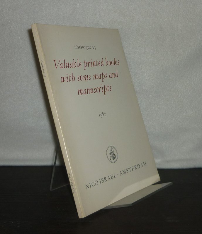
1982réf. 3127139Amsterdam: Nico Israel 1982. 85 Seiten. Mit vereinzelten Illustrationen. 8° (17,5-22,5 cm). Illustrierte Orig.-Broschur. [Softcover / Paperback].
réf. 9119s.l., Novelta, correspondance manuscrite au dos, datée de 1918, 1 carte postale de 13 x 8 cm, enfants au premier plan, personnages au second plan.
réf. 12728s.l., collection "Vals Société Générale", s.d. (début XXème), 1 carte postale de 14 x 9 cm.
réf. 12802s.l., collection Société Générale, s.d. (début XXème), 1 carte postale de 14 x 9 cm.
réf. 12803s.l., collection "Vals Société Générale", s.d. (début XXème), 1 carte postale de 14 x 9 cm ;
réf. 13668s.l., s.n., 1906, 1 date "1906", en chiffres dorés et gauffrés avec 3 vues de Vales les Bains insérées en médaillons dans les ovales des chiffres "9", "0" et "6". carte postale de 14 x 9 cm ;
1926réf. 100153168Valentine's Manual Inc 1926 in8. 1926. Cartonné. Cet ouvrage publié par Henry Collins Brown à partir de 1919 sous le titre 'Valentine's Manual of Old New York' est une série de volumes annuels documentant l'histoire de New York à travers des faits historiques des reproductions de cartes anciennes et des estampes en couleur. Il s'inscrit dans la tradition du 'Valentine's Manual' original du 19e siècle mais en se concentrant sur des aspects historiques et visuels plutôt que sur des données financières municipales
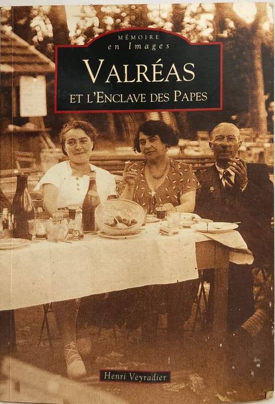
2010réf. 6829Editions Sutton 2010 128 pages 16 4x0 8x23 4cm. 2010. broché. 128 pages. Cet ouvrage d'Henri Veyradier historien local utilise des cartes postales anciennes pour restituer la vie des habitants de Valréas au début du XXe siècle. Il retrace l'histoire de l'Enclave des Papes un territoire formé par Valréas Grillon Richerenches et Visan qui fut propriété pontificale pendant plus de quatre siècles au cœur du royaume de France
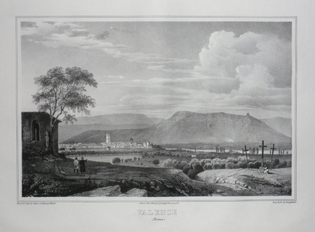
réf. LBW03d5cParis Benard circa 1850 218 x 297 mm.
196380 pages. Provides colour maps and information on accommodation, entertainment, bush pilots, fishing regulations, and more. Dozens of great vintage ads for related local businesses. Nice colour photo ad for Thitfield Lodge, Hotel & Motel inside front cover. Back cover ad for Sudbury sponsored by their Chamber of Commerce features colour photo of molten slag being poured with belching smokestacks in background (Say what?). Other nice ads for Caswell Motor Hotels, Rusty Myers Flying Service, Camp Beaverhead, Camp Manitou, Dalseg's Shopping Centre, Swenson's Camp, Sabourin Lake Lodge (in colour), Barney's Ball Lake and God's Lake Lodges, Doug Hook's Separation Lake Camp, Sault Airways, Wawa's Lakeview Hotel, The Kitchener Hotel in Parry Sound, Moose Lake Lodge, Eden Roc Motel, Larry's Tavern in Pointe Au Baril, Red Pines Lodge, and dozens more. Somewhat above-average wear. Bit of writing atop front cover and small bookseller's stamp inside back cover. A great vintage item sure to help readers recount happy vacation times spent in Northern Ontario many moons ago. Book
réf. SLIVCN-3770007879905KEROZENN
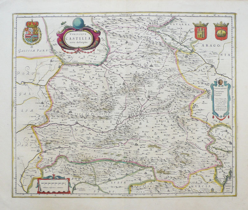
1638réf. LBW-949Amsterdam 1638-1640 411 x 501 mm.
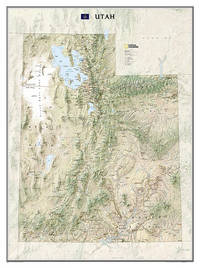
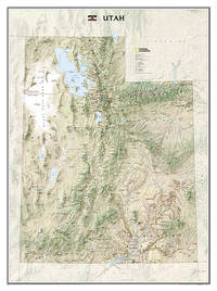
réf. A9781597752466Sheet map rolled. New. National Geographic Wall Maps offer a special glimpse into current and historical events and they inform about the world and environment. Offered in a variety of styles and formats these maps are excellent reference tools and a perfect addition to any home business or school. There are a variety of map options to choose from including the world continents countries and regions the United States history nature and space. unknown
2012réf. 1-1597752460Natl Geographic Society Maps 2012. Map. New. rol map edition. 1 pages. 31.70x2.00x1.70 inches. Natl Geographic Society Maps unknown
réf. ANAIS-1597755974National Geographic Maps. other. Good. 4.3x0.6x9.3. Buy with confidence. Excellent Customer Service & Return policy. National Geographic Maps unknown
réf. 1597755974.Gmap. Good. Access codes and supplements are not guaranteed with used items. May be an ex-library book. unknown
2023réf. SONG1597755974National Geographic 2023-01-01. 2023. map. Used: Good. 4.25x0.50x9.25. Buy with confidence. Excellent Customer Service & Return policy. National Geographic unknown
2023réf. DADAX1597755974National Geographic 2023-01-01. 2023. map. New. 4.25x0.50x9.25. Buy with confidence. Excellent Customer Service & Return policy. National Geographic unknown
réf. ING9781597755979National Geographic Maps. New. Special order direct from the distributor National Geographic Maps unknown
réf. 117558Editions Leclerc Imprimeur, Saint-Lo, Edité en Amérique par La Division historique du Département de l'Armée, traduit par Alexandre Renaud, sans date, VIII-197 p. et XIV cartes in fine, demi-maroquin à coins marron, environ 28x22cm. Une tache discrète sur le mors-peau du premier plat, premier plat d'origine découpé et contrecollé, un dessin au stylo sur la page de titre, de pâles rousseurs, certaines pages sont un peu froissées, la carte I a été restaurée, de petites déchirures sur les bords des cartes. Bon état pour le reste.
1987No marks or inscriptions. A lovely clean crisp tight copy with bright boards and no bumping to corners. Dust jacket not price clipped or torn with a little light creasing to edges. 160pp. A very personal guided tour of the world's largest country by it's most famous 'grandson'. This is an amusing and attractive book which also opens the door to a Russia only a few have been able to see and appreciate. Over 100 original photos, many taken by the author himself.
Colour-printed map, 730 x 560 mm. Scale 1:1,000,000. On verso: legend, aeronautical information, and index map. First edition. - Pilot's map of Wadi Sirhan in the border region of Iraq, Saudi Arabia and Transjordan. It shows international boundaries populated places, roads and tracks, railways, wireless telegraph stations, forts, wadis, wells, vegetation and terrain features. Shows also parts of Transjordan and Iraq, including the zigzagging border between Saudi Arabia and Transjordan. - In excellent condition.