Hammerton, J. A. (editor)MareMagnum

12.067 resultados
1923No marks or inscriptions. No creasing to covers or to spine. Contents excellent. A very clean very tight copy with bright unmarked slightly irregularly sunned boards, minor rubbing to ends of spine and no bumping to corners. 1453-2180pp. A very well-researched and well-wrtten account of the countries and cities across the world which tell us what our world was like 100 years ago with nearly 700 photographic illustrations including about 200 in full colour or photogravure. Undated ca 1923. A heavy book.
1923No marks or inscriptions to contents. No creasing to covers or to spine. Contents excellent. A very clean very tight copy with bright slightly marked slightly irregularly sunned boards, minor rubbing to ends of spine and no bumping to corners. 2181-2908pp. A very well-researched and well-wrtten account of the countries and cities across the world which tell us what our world was like 100 years ago with nearly 700 photographic illustrations including about 200 in full colour or photogravure. Undated ca 1923. A heavy book.
1923No marks or inscriptions. No creasing to covers or to spine. Contents excellent. A very clean very tight copy with bright unmarked slightly irregularly sunned boards, minor rubbing to ends of spine and no bumping to corners. Fold-out coloured maps of New York and Paris in the 1920s in excellent condition. 2909-3628pp. A very well-researched and well-wrtten account of the countries and cities across the world which tell us what our world was like 100 years ago with nearly 700 photographic illustrations including about 200 in full colour or photogravure. Undated ca 1923. A heavy book.
1923No marks or inscriptions. No creasing to covers or to spine. Contents excellent. A very clean very tight copy with bright unmarked slightly irregularly sunned boards, minor rubbing to ends of spine and no bumping to corners. Fold-out coloured maps of the World in the 1920s in excellent condition. 3629-4348pp. A very well-researched and well-wrtten account of the countries and cities across the world which tell us what our world was like 100 years ago with nearly 700 photographic illustrations including about 200 in full colour or photogravure. Undated ca 1923. A heavy book.
1918No marks or inscriptions to contents. No creasing to covers. Clean very tight pages with slightly marked rubbed red cloth boards, tanned end papers, rubbed ends of sunned spine, mottled rear board and minor bumping to some corners. 219pp. An account of France and the French in 1914 at the start of WWI - this is the revised 1918 second edition with double the number of illustrations. With 64 tissue-guarded colour plates. The image displayed is one of the 64 in the book - appears to show two soldiers walking with linked arms in Paris.
19588vo., First Edition, with 30 plates on 16 and 15 maps in the text; green cloth, gilt back, a very good, bright, clean copy in unclipped dustwrapper, the latter lightly frayed at extremities. Bennett p.184.
1994No marks or inscriptions. No creasing to covers or to spine. A very clean very tight copy with bright unmarked boards and no bumping to corners. 160pp. The history of Sydney and its harbour and everything you would want to know about it in modern times. Very well illustrated.
2007No marks or inscriptions. No creasing to covers or to spine. A very clean very tight copy with bright unmarked boards and extremely minor bumping to spine top and lower rear corner. 176pp. Essentially a book of lovely photographs presenting an up-to-date picture of the Scottish region of Fife between the Forth and the Tay accompanied by a short history.
19678vo., Second Edition, with large folding coloured map and classified gazetteer; pictorial wrappers, yapped edges, a near fine copy. Updated version of the first edition of 1962.
1935Folding coloured map on cloth measuring 22 x 30 ins (approx.56.0 x 76.0 cms) folding in 21 panels to 7.5 x 4.5 ins (approx. 19.0 x 11.5 cms); original pictorial card wrappers, wrappers lightly frayed at edges else a very good, clean copy.
2003No marks or inscriptions. No creasing to covers or to spine. A very clean very tight copy with bright unmarked boards and no bumping to corners. 437pp. Travel guide to east African countries.
1990No inscriptions or marks. No creasing to covers or to spine. A very clean very tight copy with bright unmarked boards, small scratch to front and no bumping to corners. 298pp. Images and description of 576 Lots of maps, natural history prints and paintings and travel and exploration paintings etc.
1998Expressive inscrption in Spanish to front end paper. No other marks or inscriptions. No creasing to covers or to spine. A very clean very tight copy with bright unmarked boards and no bumping to corners. 210pp. Lavish guide to Acapulco.
2002Book in mint unread condition. 132pp. For those who come to the Lake District to unwind and enjoy some time relaxing in a glorious waterside setting. This book tells you the places to go.
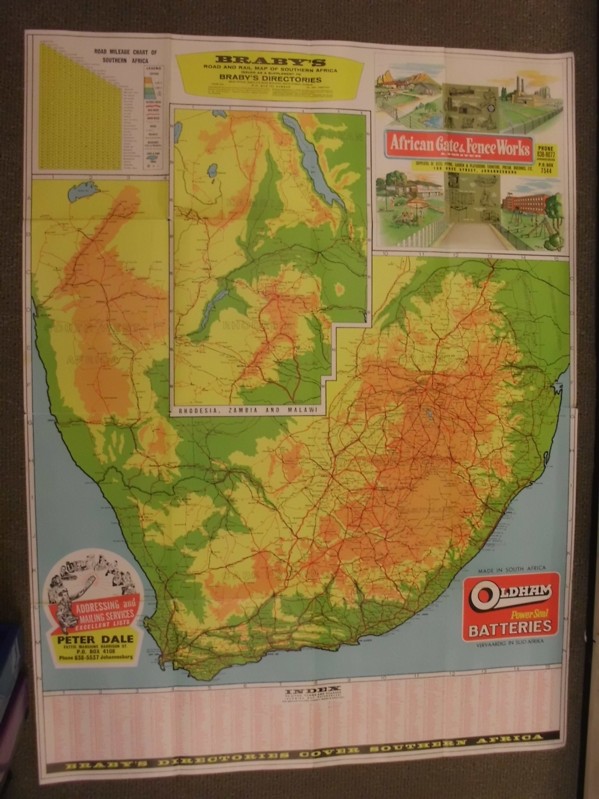
ref. 262704geLTD, Brown Davis & Platt, o.J. Faltkarte, einseitig bedruckt mit farbiger Landkarte von Südafrika, Teilstücke von Afrika (Rhodesia, Zambia and Malawi), Statistik-Tabelle und Werbeanzeigen sowie Index, 100x70 cm groß, leichte Einrisse und Kantenbeschabungen, wenige Bleistifteinträge, gebräunt, insgesamt noch ordentlicher Zustand
1985Locally produced guidebook to Crete, ,including good street maps of Heraklion and other towns. Pbk. 96p.illus + coloured plates, Maps Crisp tight unmarked copy copy, but fold-out map is missing [3 copies of this edition found in WorldCat Book
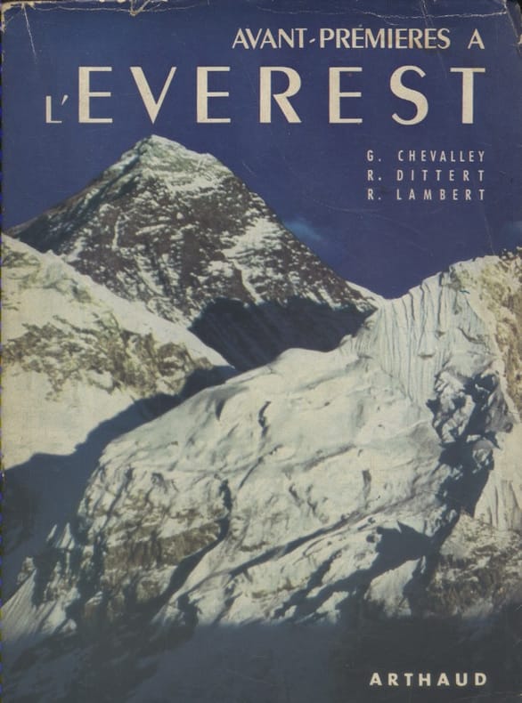
1953ref. 133394Couverture souple. Broché. Non coupé. 315 pages. Jaquette.
1914ref. 6598Couverture rigide. Cartonnage de l'éditeur. 116 pages. 18 x 23 cm.
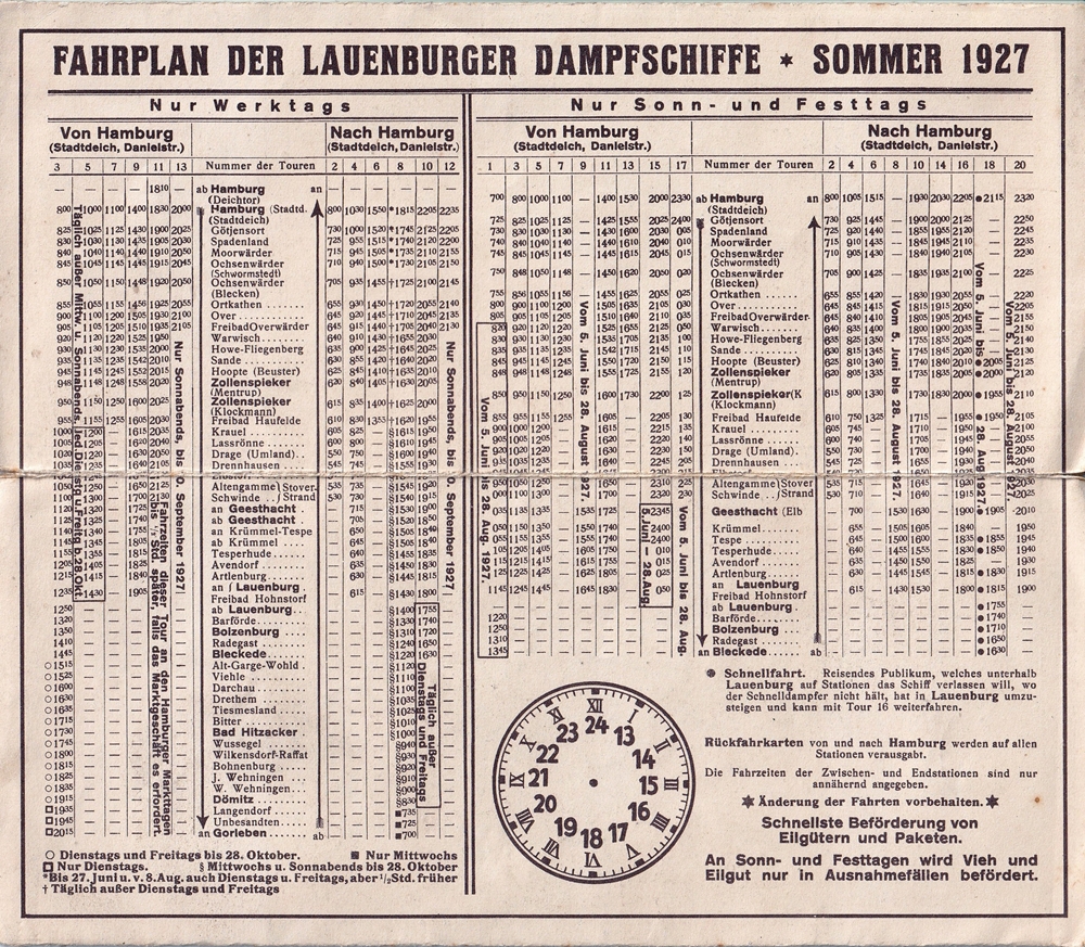
1927ref. 71730(Lauenburg, 1927). Gefalzt zu 12 S. Verso Fahrplan u. Anzeigen in Braundruck (22 x 9,5 cm).
ref. M13918Versailles , LGL , sd , in4° oblong , cartonné , 140 pp Abondantes reproductions. Ex dono .
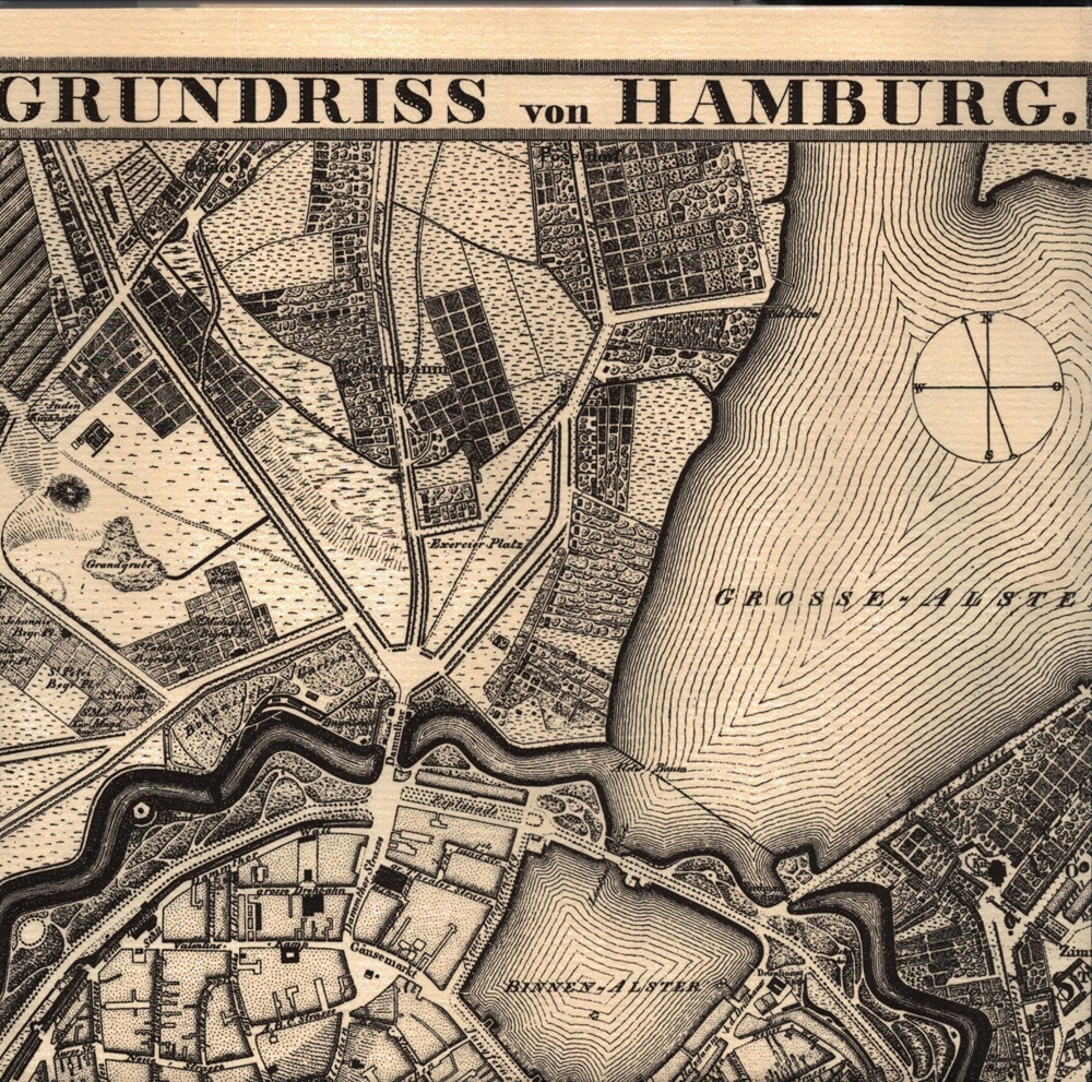
1987ref. 55181[Braunschweig, Archiv-Verlag, 1987]. 1 mehrf. gefalt. s/w Plan mit bezeichneten Straßen. Blattgröße 40 x 53 cm.
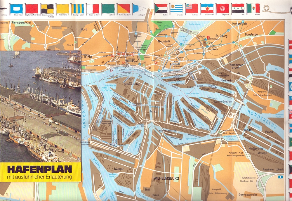
1980ref. 97768Hamburg, Druck: Günter Frank, [ca. 1980]. Farbiger Plan (38 x 69 cm, gefaltet zu 19 x 12 cm) in vierteiligem, leporelloartigem farbigem Mäppchen. 20 cm.
1963ref. 63061(Hamburg, 1963). Mehrf. gefalt. beidseitig bedruckter farbiger Straßenplan. Blattmaß 42 x 57,5 cm. Falzmaß 21 cm.
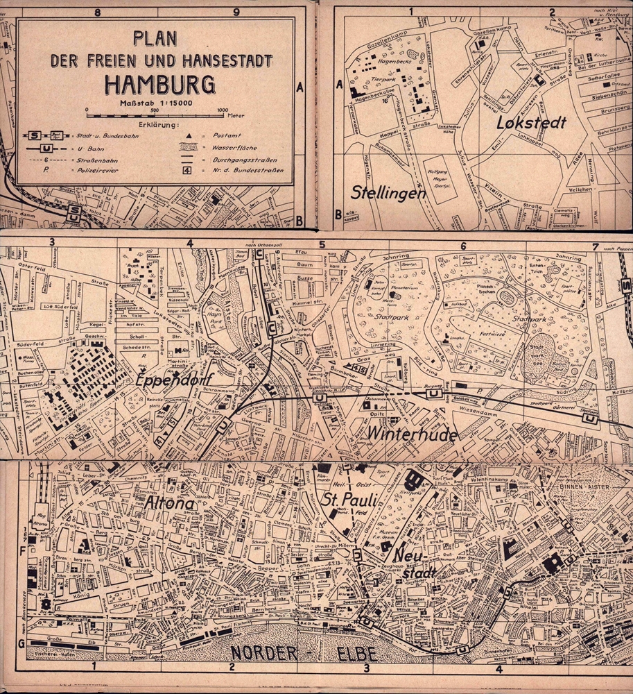
1955ref. 90183Braunschweig, WOFE-Verlagsgesellschaft, [1955]. Faltplan im Braundruck. Maßstab 1: 15.000. Kartenmaß 42 x 59 cm. Gefaltet 15 x 11 cm.
ref. 25575Paris Taride In-8 Étroit C 1910, en une feuille couleur repliée avec une couverture