1.747 resultados
ref. 1581740522.Gpaperback. Good. Access codes and supplements are not guaranteed with used items. May be an ex-library book. paperback
2004ref. SBBI-mon0000029953Compass Maps 2004. map. Good. Our good condition books are generally good for reading but not for gifting or collecting. They could have imperfections such as creasing fanning inscriptions margin notes yellowing staining on edge or cover or pages bumps scuffs etc etc sometimes multiple of these. It's a wide category that encompasses anything that isn't almost-new down to anything that is slightly better than poor. We would NOT recommend gifting Good books - these should be considered reading copies. Our books are dispatched from a Yorkshire former cotton mill. We list via barcode/ISBN so please note that the images are stock images and may not be the exact copy you receive furthermore the details about edition and year might not be accurate as many publishers reuse the same ISBN for multiple editions and as we simply scan a barcode or enter an ISBN we do not check the validity of the edition data when listing. If you're looking for an exact edition please don't order at least not without checking with us first although we don't always have time to check. We aim to dispatch prompty the service used will depend on order value and book size. We can ship to most countries see our shipping policies. Payment is via Abe only. Compass Maps unknown
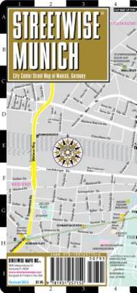
2009ref. SONG1931257159StreetWise 2009-05-01. map. Used: Good. 4.00x0.25x8.50. Buy with confidence. Excellent Customer Service & Return policy. StreetWise unknown
ref. GOR009535272Paperback. Very Good. paperback
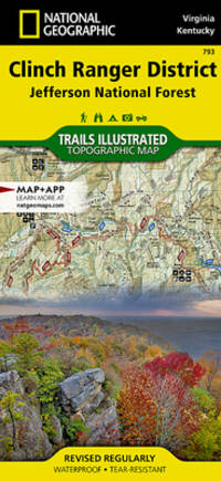
ref. Q-1566955009National Geographic Maps 2019-01-01. Map. New. In shrink wrap. Looks like an interesting title! National Geographic Maps unknown
2008ref. Q-1566954622National Geographic Maps 2008-01-01. Map. New. In shrink wrap. Looks like an interesting title! National Geographic Maps unknown
ref. 1581740174.Gpaperback. Good. Access codes and supplements are not guaranteed with used items. May be an ex-library book. paperback
1939ref. 60959San Francisco CA: San Francisco Bay Exposition 1939. 8vo. 116 pp. With oblong folio. 19.25 x 16 in. colour pictorial map frontisp. detailed sections of island and exhibits in blue on verso fold creases numerous photo illustrations text maps diagrams stepped thumb tabs at outer fore-edge. Blue-cloth backed softcovers featuring the striking Art Deco cover art by Simon “Si” Vanderlaan 1904-1986 famed pin-up artist and illustrator who worked for Walt Disney studios during World War II minor scuffing very minor age toning shelfwear still VG bright copy from the library of Prof. Marvin Nathan. Revised 1939 edition of this excellent guide to the first year in 1939 of the Golden Gate International Exposition including “Cartograph” revealing all of the Art Deco architectural wonders and surrounding areas of Treasure Island. The pictorial maps were issued separately as well as with the “Official Guide Books.” Ruth Taylor White’s 1902-1985 delightful pictographic maps or cartographs included depictions of the Territory of Hawaii in which she had driven or traveled to every corner of the Islands and the Grand Canyon for her for her brother’s book “Grand Canyon Country.” Later Little Brown requested an entire atlas which was published as the very scarce Our U.S.A. “A gay geography.” Her cartographs influenced the style of American cartographic illustration for decades afterwards. See: Griffin Mapping Wonderlands: Illustrated Cartography pp. 192-193; Field MapCarte 29/364: Our U.S.A. A Gay Geography 2014. San Francisco Bay Exposition, paperback
1952ref. 9160DuBois PA: Samuel A. King 1952. Revised 1952. Folding map 25x19" printed in red and black. Sportsman's club label to upper margin with some offsetting to lower. Small split at fold intersections title and a few stains to blank verso otherwise a clean near fine example. Very popular map which was originally designed and published by Samuel A. King in 1951 and revised in 1952 and 54. According to OCLC there were also 1960s and 70s printings under slightly different titles. This map shows the Allegheny National Forest and surrounding counties with animal silhouettes tracks and a portrait of John O'Bail the Cornplanter last of the great Seneca chiefs. Made for motorists hunters and anglers it shows paved and clay roads trails pipe and power lines fire and lookout towers state parks game lands airports and towns with post offices. The early copies of this map are somewhat scarce and there are many modern reprints available. OCLC cites 8 holdings for the '51-54 editions with just 1 being the '52. A lovely example. . Samuel A. King unknown
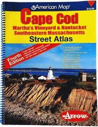
2006ref. 81813aaspArrow Map 2006. 4th. spiral_bound. Good. 10x0x13. Fourth Edition 2006 with a yellow red and blue cover. Wire coil binding. Pages unmarked; mild usage wear. Arrow Map unknown
1925ref. 409765Paris : Cartes Taride 1925. 1st edition. Softcover. Folded map in very good condition; edges slightly dust-dulled and dust-toned as with age. Remains particularly well-preserved overall. Physical description; 1 map : colour. Subjects; Germany Northern ; Maps. Europe Central ; Maps. Paris : Cartes Taride paperback
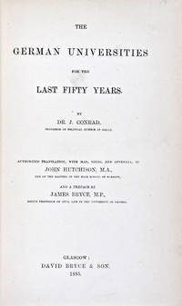
1885ref. 30824Glasgow: David Bryce & Son 1885. First English language edition. Hardcover. g. Quarto. XXX 333 1 3pp. Original red cloth with gold lettering on spine. The present work is a captivating survey of the German Universities for the last 50 years between 1835 and 1885. It forms the second part of the third volume of a series of statistical inquiries in various departments of the national economy of Germany conducted by Dr. Conrad Professor of Political Science at Halle. Minor age wear on binding with spine slightly age toned. Previous owner's signature in ink on half-title page and dated 1885. Very minor age toning along paper margin. Binding and interior in overall good condition. David Bryce & Son hardcover
ref. 19-8996Madrid: National Institute of Spanish Books ca. 1970. Large format color print poster 25” x 12”. Very Good. Minor creasing on top and bottom edges. Scarce. Text in Spanish.From the collection of the late Frederick Ruffner Jr. founder of Gale Research Detroit. Madrid: National Institute of Spanish Books, [ca. 1970] unknown
ref. 73-3802Ithaca: Historical Maps 1968. 60x84 cm. Color poster. Very Good. In plastic.Item in plastic sleeve new photos of item can be sent to customer upon request. Ithaca: Historical Maps, 1968 unknown
1976ref. 160565NY THOMAS Y. CROWELL 1968 1976 1976. DUST JACKET UNCLIPPED FIRST AMERICAN EDITION VERY GOOD. 1st Edition. Hardcover. NY, THOMAS Y. CROWELL [1968, 1976] hardcover
1901ref. 2221875Map of San Francisco: Showing points of special interest to attendants the Fifth International Convention of the Epworth League July 18-21 1901 folding map of 21" x 28" printed in black & red.With numbered locations of places of Methodist interest and historical. Verso of map with 23 panels detailing trips excursions to Yosemite Valley Southern California including Pasadena Redlands Riverside Palo Alto Santa Cruz Lick Observatory. Very good minor wear; short tears at folds. San Francisco before the 1906 devastating earthquake. unknown
ref. GOR006479108Paperback. Very Good. paperback
1969ref. Q-1566950341Natl Geographic Society Maps 1969-12-31. map. New. In shrink wrap. Looks like an interesting title! Natl Geographic Society Maps unknown
2013ref. 1-0792230345National Geographic 2013. Map. New. map edition. 1 pages. 40.50x5.00x5.00 inches. National Geographic unknown
1979ref. Q-0827601166Jewish Publication Society of America 1979-01-01. Hardcover. New. In shrink wrap. Looks like an interesting title! Jewish Publication Society of America hardcover
2001ref. Q-156695150XNatl Geographic Society Maps 2020-01-01. Map. New. In shrink wrap. Looks like an interesting title! Natl Geographic Society Maps unknown
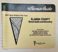
1994ref. 102220Irvine CA: Thomas Bros. Maps 1994. 1995 ed. Paperback. Very good to near fine-. 1 atlas 1 volume various pagings: color maps; 21 x 26 cm; color folding map attached to rear wrap verso; metal comb binding. Surprisingly scarce. Thomas Bros. Maps paperback
ref. GrayTPB2KW087Trakker Maps Inc. Trade paperback. Good. Prompt shipment with tracking. we ship in CLEAN SECURE NEW boxes Good trade paperback map some stains Trakker Maps, Inc paperback
ref. Q-1566952344Natl Geographic Society Maps 2019-01-01. Map. New. In shrink wrap. Looks like an interesting title! Natl Geographic Society Maps unknown
ref. Q-0826037402Ronald Press Co. Hardcover. New. New. In shrink wrap. Looks like an interesting title! Ronald Press Co hardcover