ORDNANCE SURVEYMareMagnum

12.228 resultados
1926Folding coloured map on cloth measuring 21 x 30 ins (approx. 53.0 x 76.0 cms) folding in 24 panels to 7.0 x 3.75 ins (approx. 18.0 x 9.5 cms); original pictorial card wrappers, wrappers lightly age-soiled else a very good, bright, clean copy. The famous Popular Edition One Inch series was first published in 1919 with striking 'hiker' artwork by Ellis Martin. The present copy is the 1926 revision; the covers are the dark red and black variant with location map. Browne, 11.2.a
1939Folding coloured map on cloth measuring 22 x 30 ins (approx. 55.5 x 76.0 cms) folding in 21 panels to 7.5 x 4.25 ins (approx. 19.0 x 11.0 cms); original pictorial card wrappers, neat contemporary signature on front wrapper, wrappers lightly age-soiled else a very good, bright, clean copy. With the trade ticket of Moyse of Sheffield on rear wrapper. The Half Inch series was first published in 1919 with striking 'motorist' artwork by Ellis Martin. The present copy is the 1939 revision; the covers are the green and brown variant with green sheet name. Browne, 12.2.a
1936No marks or inscriptions. No creasing to covers or to spine. A very clean very tight copy with foxing to boards, dusty page edges and no bumping to corners. 88pp. Guide to England's Lake District -, covering walking, history, angling, mountaineering, local authorities, places to visit etc. Photographs throughout and cover illustration by W Heaton Cooper. Undated but talks about 1935 in the past. We do not use stock photos, the picture displayed is of the actual book for sale. Every one of our books is in stock in the UK ready for immediate delivery.
1964No marks or inscriptions. Minor creasing to covers. A very clean very tight copy with bright unmarked boards and no bumping to corners. 72pp. Local Authority guide to Harrogate in North Yorkshire, mainly a coloured pictorial study with descriptions plus general information plus adverts. Forthcoming events for 1965 detailed. Tucked in is a large folded map of the town of Harrogate in excellent condition. Scarce.
1932Name/date on title page. No other marks or inscriptions. No creasing to covers. A very clean very tight booklet with bright unmarked boards, light rubbing to oversize parts of covers, very old price sticker to front and no bumping to corners. 32pp. A series of photogravure photgraphs mainly of buildings plus towns and beauty spots in these parts of North Yorkshire, including Knaresborough, Beverley, Ripon and Ripley.
1954Neat writing to upper corner of front cover. No other marks or inscriptions. Crease to rear cover and to oversize extremeties of covers. A very clean very tight copy with slightly dusty covers and missing the map at the end. 141pp. With separate List of Hotels and Boarding Houses loosely tucked in. Undated but Council Rates given for year ending 1955.
1960Folding street plan in red and black on paper, measuring 25.0 x 20.0 ins (approx. 63.5 x 51.0 cms) folding in 16 panels to 9.0 x 5.5 ins (approx. 23.0 x 14.0 cms); original printed wrappers in orange and black, yapped edges, covers very lightly age-soiled else a very good, bright, clean copy. With numerous trade advertisements.
1959Large folding road map printed in green on paper measuring 16.0 x 19.0 ins (approx. 40.5 x 48.0 cms) folding in 12 panels to 8.5 x 3.5 ins (approx. 21.5 x 9.0 cms); original printed wrappers, folded as issued, yapped edges, covers very lightly dust-soiled else a very good, bright, clean copy.
1989Book is in excellent condition, with one crease at spineas only blemish to exterior. Binding is solid and square, covers have sharp corners, exterior shows no blemishes, text/interior is clean and free of marking of any kind. 433 pages with color photo section. Previous owner's name inside.
1976A clean, unmarked book with a tight binding. 100 pages. 10 3/4"w x 8 1/2"h.
1983A clean, unmarked book with a tight binding. Previous owner's name or label inside. 708 pages. Many b&w photos and illustrations.
1989Fine English Paperback. 8vo. (19 x 12 cm). In English. 262 p., color ills. and b/w plans and maps. Guide to Syria; with the compliments of Transtour. Photos by Mouhamed el Roumi, Nasri Akil, Vahe Chahinian, Riad kseibeh, et alli. A richly illustrated Syrian guide for tourists printed in late 80s, including Damascus, Palmyra, Homs, Hama, Aleppo, the Euphrates valley, the coast from Tartous to Latakia, etc., with their detailed historical backgrounds. Revised second edition.
2001This is a "Nelles Travel Pack" plastic folder containing [1] A large fold-out map of Rhodes scale 1:110,00A "Travel guide with 49 colour photos and 5 maps 94p. index Book
193523x16cm. VIII+566 pages. Hardcover. Cover stained. Cover corners bumped. Pages yellowing. Else in good condition
ref. SLIVCN-3760024991599MINUS EDITIONS
ref. SLIVCN-3760024991315MINUS EDITIONS
ref. SLIVCN-3760024991322MINUS EDITIONS
ref. SLIVCN-3760024991605MINUS EDITIONS
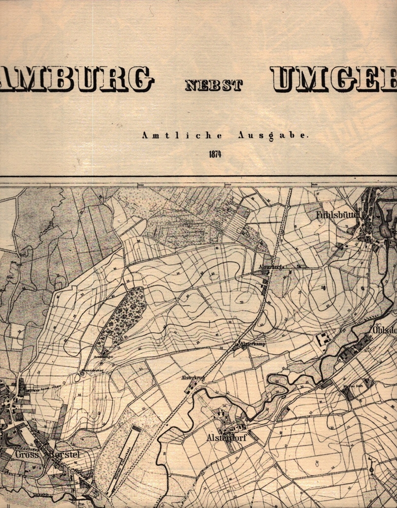
1985ref. 99378(Braunschweig, Archiv-Verlag), [ca. 1985]. 1 mehrfach gefalt. Karte (Bildmaß 37 x 36 cm).
ref. 59210 Paris, Taride, s.d., Carte papier dépliable, 70 X90 cm, sous pochette papier, i
ref. 77870 Paris, Librairie Taride, s.d., Carte de papier, dépliable pliée sous pochette papier,
ref. 103620 Paris, Taride, s.d., Carte papier dépliable, 70 X90 cm, sous pochette papier,
1902ref. 59201902 Paris, Henry Barrère, 1902, Carte dépliable, env. 63 X92 cm, feuille V (Paris, Beauvais, Alençon, Le Mans, Chartres, Blois, Auxerre) sous pochette papier, illustrée du plan d'ensemble des 15 feuilles,
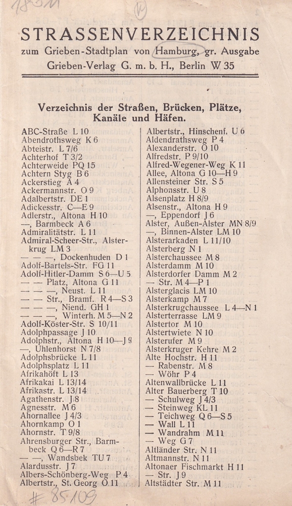
1935ref. 85109Berlin, Grieben-Verlag, 1935]. 31 + 1 S. Gefalzte, ungehefte Lage. Ohne Umschlag.
1986ref. 55186[Braunschweig, Archiv-Verlag, 1986). 1 mehrf. gefalt. Kte., Blattgröße ca. 71 x 54,5 cm.