12.210 resultados
ref. 21202Paris J. Migeon 1875 1 carte géographique gravée ancienne de l'AFRIQUE FRANÇAISE (SÉNÉGAL), imprimée sur papier fort et coloriée à l'époque (format : 26,5 x 35,5 cm). Cette carte illustrée gravée par Villerey de l'AFRIQUE FRANÇAISE (SÉNÉGAL) est aquarellée, en coloris d'époque (original hand coloring). Avec une notice rédigée par Ernest Poirée. Carte dressée d'après les cartes de Cassini, du dépôt de la Guerre, des Ponts & Chaussées, de la Marine par M. Vuillemin. Bel exemplaire ( Photographies sur demande / We can send pictures of this print on simple request ) Envoi dans emballage de protection (tube)
ref. 21198Paris J. Migeon 1875 1 carte géographique gravée ancienne de l'ALGÉRIE, imprimée sur papier fort et coloriée à l'époque (format : 26,5 x 35,5 cm). Carte illustrée gravée par P. Devilliers. Les différentes provinces de cette carte de l'ALGÉRIE sont aquarellées chacune d'une couleur différente (original hand coloring). Avec une notice rédigée par Ernest Poirée. Carte dressée d'après les cartes de Cassini, du dépôt de la Guerre, des Ponts & Chaussées, de la Marine par M. Vuillemin. Bel exemplaire ( Photographies sur demande / We can send pictures of this print on simple request ) Envoi dans emballage de protection (tube)
ref. 21204Paris J. Migeon 1875 1 carte géographique gravée ancienne de l'ile de LA GUADELOUPE, imprimée sur papier fort et coloriée à l'époque (format : 26,5 x 35,5 cm). Cette carte illustrée gravée par Dyonnet de l'ile de LA GUADELOUPE est aquarellée, en coloris d'époque (original hand coloring). Avec une notice rédigée par Ernest Poirée. Carte dressée d'après les cartes de Cassini, du dépôt de la Guerre, des Ponts & Chaussées, de la Marine par M. Vuillemin. Bel exemplaire ( Photographies sur demande / We can send pictures of this print on simple request ) Envoi dans emballage de protection (tube)
ref. 21206Paris J. Migeon 1875 1 carte géographique gravée ancienne de l'ile de LA MARTINIQUE (Iles des Antilles), imprimée sur papier fort et coloriée à l'époque (format : 26,5 x 35,5 cm). Cette carte illustrée gravée par Villerey de l'ile de LA MARTINIQUE (Iles des Antilles) est aquarellée, en coloris d'époque (original hand coloring). Avec une notice rédigée par Ernest Poirée. Carte dressée d'après les cartes de Cassini, du dépôt de la Guerre, des Ponts & Chaussées, de la Marine par M. Vuillemin. Bel exemplaire ( Photographies sur demande / We can send pictures of this print on simple request ) Envoi dans emballage de protection (tube)
ref. 21205Paris J. Migeon 1875 1 carte géographique gravée ancienne de l'INDE FRANÇAISE (Pondichéry), des établissements français dans l'Inde, imprimée sur papier fort et coloriée à l'époque (format : 26,5 x 35,5 cm). Cette carte illustrée gravée par Ch. Dyonnet de l'INDE FRANÇAISE (Pondichéry), des établissements français dans l'Inde est aquarellée, en coloris d'époque (original hand coloring). Avec une notice rédigée par Ernest Poirée. Carte dressée d'après les cartes de Cassini, du dépôt de la Guerre, des Ponts & Chaussées, de la Marine par M. Vuillemin. Bel exemplaire ( Photographies sur demande / We can send pictures of this print on simple request ) Envoi dans emballage de protection (tube)
ref. 21124Paris J. Migeon 1875 1 carte géographique gravée ancienne du département de la CORSE, imprimée sur papier fort et coloriée à l'époque (format : 26,5 x 35,5 cm). Carte illustrée gravée par Alès. Les différents arrondissements de cette carte du département de la CORSE sont aquarellés chacun d'une couleur différente (original hand coloring). Avec une notice rédigée par Ernest Poirée. Carte dressée d'après les cartes de Cassini, du dépôt de la Guerre, des Ponts & Chaussées, de la Marine par M. Vuillemin. Bel exemplaire ( Photographies sur demande / We can send pictures of this print on simple request ) Envoi dans emballage de protection (tube)
ref. 60288, Orion (Hachette), 2022 Card Book, ENG, 26 postcards in colour, 160 x 115 mm, NEW, from different places in the world,. ISBN 9781399608725.
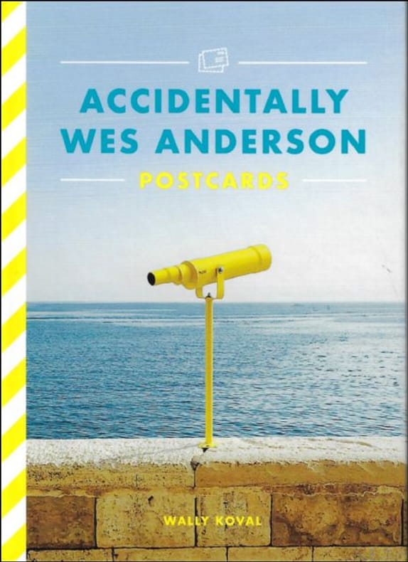
Card Book, ENG, 26 postcards in colour, 160 x 115 mm, NEW, from different places in the world,. ISBN 9781399608725. 26-POSTCARD SET featuring 26 full-colour photographs from the bestselling Accidentally Wes Anderson book, based on the Instagram phenomenon. FOR FANS OF WES ANDERSON and Wally Koval alike, these postcards pay homage to the director's unique style with photographs from the most interesting locations spotted all around the world. STURDY PAD-BOUND BOOK allows for easy browsing and detachment of each postcard individually. Accidentally Wes Anderson: The Book invited us to journey to more than 200 real-life "Andersonian" locations around the world. From the tasteful technicolour of the Venetian Lagoon to Hong Kong's Choi Hung Estate (aptly named after the word for "rainbow" in Cantonese), the collection is an irreverent reverie for the armchair traveller, drenched in nostalgia, whimsy and charm. Now wherever you are in the world - home or away - with this beautiful postcard set you can send a little piece of Wes Anderson's unique aesthetic to your loved ones, complete with your own 'wish you were here' note.
Coimbra, 1969 [Separata da "Revista da Universidade"]. Folio; 20 pp. Cubiertas originales.
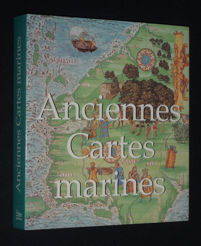
2006ref. fj1065Sirrocco Broché 2006 In-12 (14,8 x 16,2 cm), broché, 255 pages, illustrations en couleurs ; très bon état. Livraison a domicile (La Poste) ou en Mondial Relay sur simple demande.
1924ref. 5140Leipzig um 1924. Landkarte Faltmaß 18x12 cm.
1918pp. xix, 403 + Plus portrait frontis, photographs and maps. Inked ownership of Julia B. Martingale, Dec. 11, 1928. Inner hinges cracked. 8vo. Original full black cloth binding, worn. Eighth edition. Poor copy. Virulent but readable anti-German propaganda based on travels throughout Germany with interviews of people from all walks of life. Includes chapters on: Zeppelins; the Navy and its tactics; Spies; etc. WWI 5
1990np. Zerox copy. Illustrated with photographs and large folding maps. 4to. Original spiral bound wraps. PA PAMPH 20_7 BX2
1982"The ultmate personal tour guide.Includes giant fold-out road map. More than 200 color photographs and detailed maps" Vintage but comprehensive, well illustrated guide to modern Greece for visitors. 290p.. illus (col) maps. index. Book
194013p. Pagination includes wraps. Illustrated with photographs, drawings and maps. Tall thin 8vo. Original pictorial wraps. Lists Interchanges, tunnels and service stations. PA PAMPH 20_1 BX7 x 3c.
1871pp. viii, 334, (2) [Publisher's catalogue] + Five color maps. Numerous text drawings and maps. Slightly age stained. Anna Herdon's copy. Front fly leaf torn with loss. 12mo. Original leather spine over cloth covered boards. Spine lettered in gold and embossed with figure of Phoenix raising. Front board portrait of Washington. Cloth boards faded, stained and worn. Extremities worn with some loss. Hardbound. PA71 FRONT
1964128p. Illustrated with numerous photographs, many in color, and maps. 16mo. Original wraps very soiled. PA PAMPH 20_18 BX6
1962No marks or inscriptions. No creasing to covers or to spine. A very clean very tight copy with bright unmarked boards and no bumping to corners. Attached red silk bookmark. All fold-out maps in excellent condition. Dust jacket not price clipped or marked or torn with a little creasing/rubbing to edges and corners. 448pp. Detailed tourist guide to the whole of Scotland. Seventh Edition revised., Undated ca. early 1960s.
1925ref. 41987Ls.-A. Proulx Couverture souple Québec 1925
ref. 201302834Paris, Neudin, 1987 ; in-8, 536 pp., br.
ref. 201302830Paris, Neudin, 1984 ; in-8, 542 pp., br.
1750Paris, s.e., s.d. (vers 1750); 250/325 mm, 1 pp., une feuille. Carte provenant certainement d'un livre de voyage du XVIIIème siècle. Bon état.
1750S.l., s.e., s.d. (vers 1750); 255/185 mm, 1 pp., une feuille. Plan provenant certainement d'un livre de voyage du XVIIIème siècle. Bon état.
18901 feuille 26 x 34 cm.
18901 feuille. 36X42 cm.