ORDNANCE SURVEYMareMagnum

12.245 resultados
1932Folding coloured map on cloth measuring 22.0 x 28.5 ins (approx. 56.0 x 72.0 cms) folding in 21 panels to 7.5 x 4.25 ins (approx. 19.0 x 11.0 cms), small neat contemporary signature on front wrapper else a very good, bright, clean copy. The famous Popular Edition One Inch series was first published in 1919 with striking 'hiker' artwork by Ellis Martin. The present copy is the 1932 revision; the covers are the dark red and black variant with location map. Browne, 11.2.a
1935Folding coloured map on linen measuring 22.0 x 28.5 ins (approx. 56.0 x 72.0 cms) folding in 21 panels to 7.5 x 4.25 ins (approx. 19.0 x 11.0 cms); a very good, bright, clean copy. The famous One Inch Fifth Edition series was first published in 1934 with striking 'younger sitting hiker' artwork by Ellis Martin. The present copy is the 1935 revision; the covers are the blue and black variant with location map. Browne, 11.2.unrecorded.
1935Folding coloured map on paper measuring 22 x 30 ins (approx. 56.0 x 76.0 cms) folding in 21 panels to 7.5 x 4.25 ins (approx. 19.0 x 11.0 cms); original pictorial card wrappers, wrappers lightly age-soiled else a very good, bright, clean copy. The Half Inch series was first issued in 1919 with striking 'motorist' artwork by Ellis Martin. The present copy is the 1935 revision; the covers are the green and brown variant with green sheet name. Browne, 12.2.a
1979No marks or inscriptions. No creasing to covers or to spine. A very clean very tight copy with bright unmarked boards and no bumping to corners. 84pp. Details of the culture of Indonesia with particular emphasis on Jakarta's Central Museum Pusat. Illustrated.
2003Fine English Paperback. Roy. 8vo. (24 x 17 cm). In Turkish. [xxiii], 343 p., color ills. Köy köy Türkiye yol atlasi. 1/400.000. Turkey road atlas village by village.
1912378 p. + Plus Frontis and full page photographs and maps. Large folding tissue map of Sinai peninsula with the route of the Exodus in red. Title page printed in red and black. Robert C. Bair's copy, with his notations in pencil. Robert C. Bair, a lawyer and son of a local judge was involved in politics and served as the Director of Historical Society of York County. Quarto. Original full green cloth binding, lettered in gold. Extremities bumped and slightly worn. Hardbound. First Edition. HOLY LAND BOX 1
19118' 147pp. rebound hardcover. cover slightly worn. some staines on front-edge. some pencil marks on edges. ex libris with usual marks. a few b/w illustrations. else in good condition.
19858' in a worn yellow hard slipcase and in a white soft slipcase. softocover booklet and numerous tables and maps. else in good condition.
1989245x335 mm. 132 pages. Gilt hardcover with dust-jacket. In good condition. PLEASE NOTE: This item is overweight. We may ask for extra shipping costs.
1990No marks or inscriptions. No creasing to covers or to spine. A very clean very tight copy with bright unmarked boards and no bumping to corners. 224pp. History, architecture, travel through three English counties near the Welsh border. Well illustrated.
ref. SLIVCN-3760024991933MINUS EDITIONS
ref. SLIVCN-3760024991940MINUS EDITIONS
ref. SLIVCN-3760024991957MINUS EDITIONS
1987ref. 55178[Braunschweig, Archiv Verlag, 1987). 1 mehrf. gefalt. farb. Karte, Blattgröße ca. 69 x 52,5 cm.
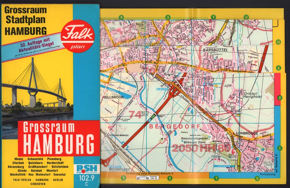
1991ref. 71281Hamburg, Falk-Verlag, 1991. Farbiger Straßenplan mit Patentfaltung in Hyperboloid-Projektion mit Kilometernetz. Im gleit. Maßstab 1:17.000-1:40.000. Mit 82 S. Straßenverzeichnis u. Schnellbahnnetz. Blattmaß 82 x 116 cm. Deckel 23,5 x 13 cm. OKart.
1990ref. 71280Hamburg, Falk-Verlag, 1990. Farbiger Straßenplan mit Patentfaltung in Hyperboloid-Projektion mit Kilometernetz. Im gleit. Maßstab 1:17.000-1:40.000. Mit 75 S. Straßenverzeichnis u. Schnellbahnnetz. Blattmaß 82 x 116 cm. Deckel 23,5 x 13 cm. OKart.
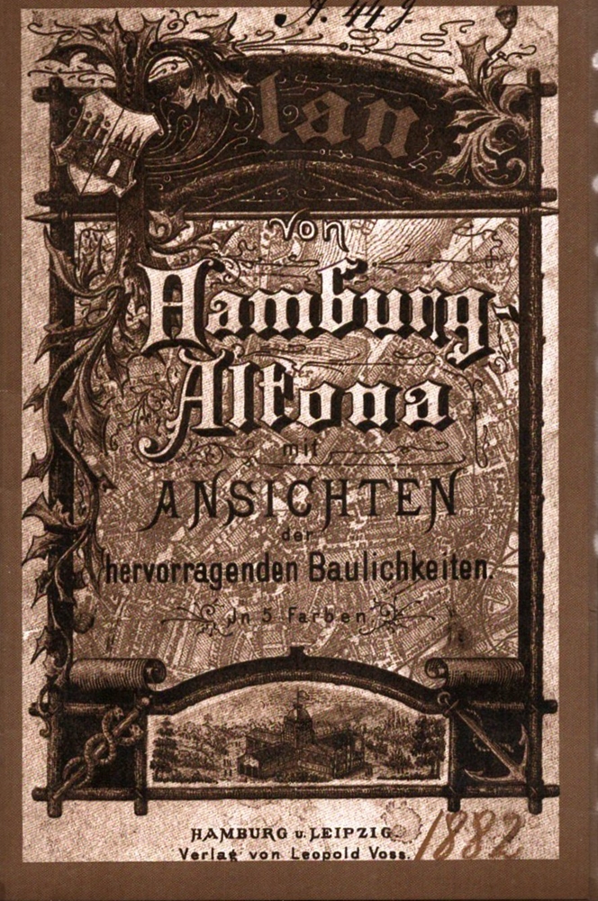
1985ref. 71233(Braunschweig, Archiv-Verlag), [ca. 1985]. 1 mehrf. gefalt. getönter lithograph. Plan, Blattmaß 51,6 x 69 cm. In neuem illustr. Umschlag. Deckel 17 x 11,5 cm.
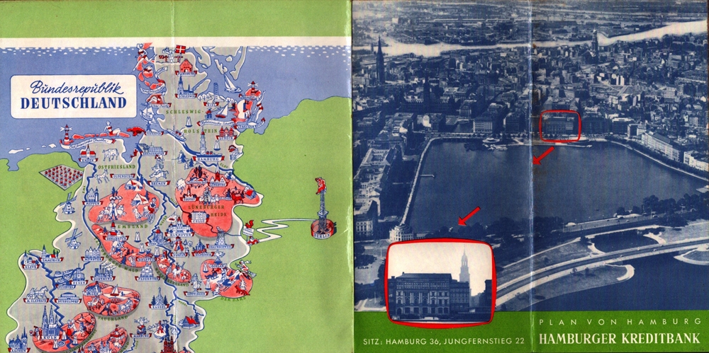
1957ref. 88245Hamburg, Falk-Verlag, 1956/1957. Mehrfach gefalt. farbiger Straßenplan. [Maßstab ca. 1:20.000]. 37 x 37 cm Kartenmaß 37 x 37 cm. Blattgröße 40 x 39,5 cm. Gefaltet 20 cm. Beidseitig folienkaschiert.
in-8 de 294 pages imprimees en 2 couleurs, nombreuses figures in-t, lexique, index, cartonnage illustre plastifie. Bel exemplaire. [NV-8]
1998ref. 20365Jean-Cyrille Godefroy, JCG/SELD 1998 In-8, broché couv. illustrée, photographies et croquis en n. & b., 148 pp. Bon état d’occasion.
1996ref. 19836Editions Atlas/Editions Atlen, Belgique/Eaglemoss Publication 1996 In-4, cartonnage illustré, photographies et schémas en couleurs, 127 pp. Etat neuf.
1999ref. 12727Seguier (Atlantica) 1999 In-8 broché. 115 pages. Très bon état d’occasion.
1919ref. 1239471919 Le Pays de France, Paris - 1919 - In-8, broché - 160 pages - Contient "36 cartes et plans et un curieux graphiques de la guerre" - "Ouvrage destiné spécialement aux touristes qui voudront visiter et suivre les opérations sur les champs de bataille. "
1835Une feuille 89x64 cm.
1994ref. 1260251994 Litos / Roma - Stato Maggiore dell'Eservito, Ufficio Storico - 1994 - In-4 relié, sous jaquette illustrée - 203 pages - Nombreuses illustrations en couleurs, in et hors texte, dans l'ouvrage - Texte en italien