12.632 resultados
ref. SLIVCN-3760174130084BETULA
ref. SLIVCN-3760174130114BETULA
195629x20 cm. 431 pages. Gilt hardcover. Contains black & white plates and folded maps. Cover is slightly worn. Spine of book is worn. Spine is visible between a few pages. Slight discoloring of the upper, external part of pages. Else in good condition. PLEASE NOTE: This item is overweight. We may ask for extra shipping costs.
1930Folding coloured map on cloth measuring 22 x 30 ins (approx. 56.0 x 76.0 cms) folding in 21 panels to 7.5 x 4.5 ins (approx. 19.0 x 11.5 cms); original pictorial card wrappers, neat contemporary signature on upper wrapper, wrappers lightly age-soiled else a very good, bright, clean copy. The famous Popular Edition One Inch series was first published in 1919 with striking 'hiker' artwork by Ellis Martin. The present copy is the 1930 revision (roads revised to June 1926); the covers are the dark red and black variant with location map. Browne, 11.2.a
ref. CYE47RT
2002Book is in excellent condition. Binding is solid and square, covers have sharp corners, exterior shows no blemishes, text/interior is clean and free of marking of any kind. 203 pages with color illustrations throughout.
1978Book is in excellent condition, appears unread. Binding is solid and square, covers have sharp corners, exterior shows no blemishes, text/interior is clean and free of marking of any kind. Dust jacket shows the slightest signs of shelf wear only, no tears. 35 illustrations, 4 maps, contents include: Salamis: a hero's glory, Fortification of Athens and Piraeus, Themistocles flight, The Persian king, Xerxes, didrachms, Battle of Salamis, etc.
1913ref. 154154Oxford: The Clarendon Press 1913. XCVI, 390 Seiten. Gr. 8° (22,5-25 cm). Orig.-Leinenband. [Hardcover / fest gebunden].
1950ref. 9381950 cart. éd. toil. rouge in-8, d. défr. avec lég. tâches, 1er pl. titre frappé or, 2è pl. frotté et qq. tâches, carte en coul., 2 lég. déch. aux plis, rouss. / partie txt. (en col.) : légende des signes, statistique, et renseignements généraux / le département, Logerot et Gaultier Ed.,- s.d. -
1904ref. 1618678661766MISS-26, OEuvre Catholique de la Diffusion du Saint Evangile, Braine-le-Comte, Verdun 1904
ref. SLIVCN-3770017268003LIBERTE ED. (METHODE
1968cm. 12,5 x 17,5, viii-142 pp. con 36 ill. e 1 carta geografica. Pocket Library of Studies in Art Inglese 189 gr. viii-142 p.
1967cm. 12 x 17,5, viii-136 pp. con 37 ill. e 1 carta dell'Etruria. Pocket Library of Studies in Art 182 gr. viii-136 p.
1974cm. 12 x 17,5, x-152 pp. Nuova edizione aggiornata. Pocket Library of Studies in Art Francese 193 gr. x-152 p.
1934ref. vg325Librairie Vuibert Relié 1934 In-8 (14,8 x 23,5 cm), reliure pleine-toile, dos lisse, pièce de titre, 37 pages, avec deux cartes dont une en couleur ; mouillure sur les bords des premiers feuillets, papier bruni, par ailleurs assez bon état. Livraison a domicile (La Poste) ou en Mondial Relay sur simple demande.
1854ref. KART0141Neu berichtigte Auflage von Herm. Berhaus 1854. Bildausschnitt: 29x36 cm, Blattgrösse: 36,5x45 cm, gefaltet, in den Faltungen etw. rissig, Unterkante m. kl. Einriss, fingerfleck.
1965205x265, 31pp, soft cover, slightly worn cover, 26 maps, else in good condition.
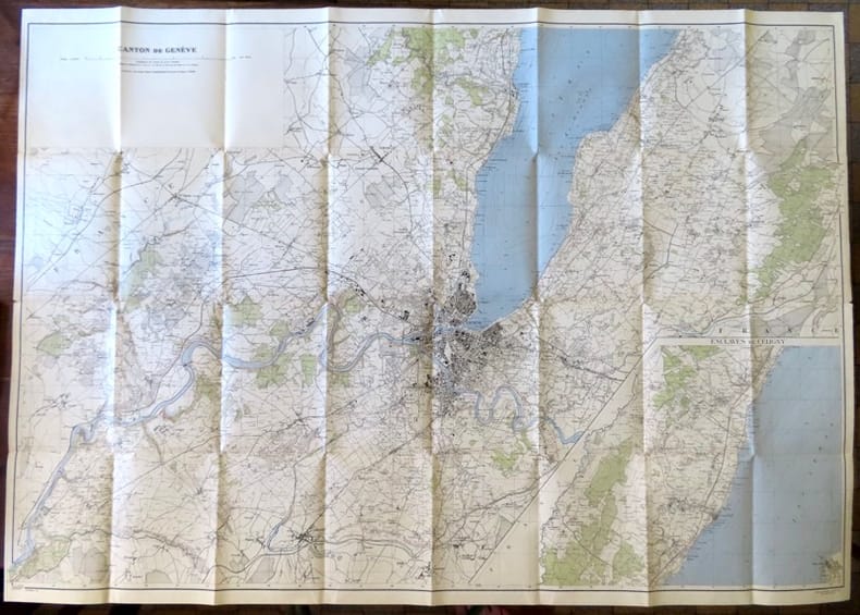
1946ref. 18657Berne, Service topographique fédéral, 1946. Carte au 1:25 000, au format ouvert de 111 x 79 cm. Tampon au premier plat.
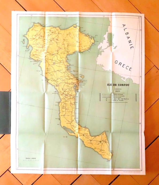
ref. 19035Corfu, The greek graphic arts ltd / G. Aspiotis Brothers, sans date. Carte au format 53 x 64, sous couverture imprimée. En belle condition.
1930ref. 18663Berne, Service topographique fédéral, 1930. Carte au 1:25 000, au format ouvert de 94 x 78 cm.
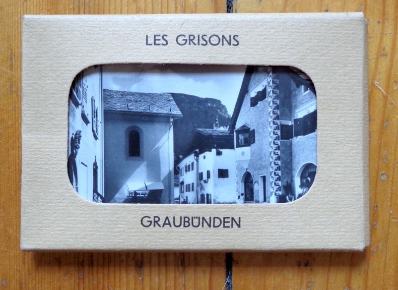
1939ref. 5246Neuchâtel, Chocolat Suchard S.A., coll. Mon cher pays - My liebi Schwyz, albums photos. Série XI, 1939. Rare petite pochette au format 9 x 6 cm., premier plat ajouré, second plat imprimé, avec languette de fermeture. En très belle condition. 10 photographies en noir à collectionner. Il existait un volume éponyme dans lequel il s'agissait de les coller.
1944ref. 18660Berne, Service topographique fédéral, 1944. Carte au 1:25 000, au format ouvert de 94 x 79 cm.
1934ref. 19309Berne, Service topographique fédéral / Atlas topographique de la Suisse, 1934. Carte au 1:25 000, au format ouvert de 94 x 97,5 cm. En belle condition.
1939ref. 5248Neuchâtel, Chocolat Suchard S.A., coll. Mon cher pays - My liebi Schwyz, albums photos. Série XIII, 1939. Rare petite pochette au format 9 x 6 cm., premier plat ajouré, second plat imprimé, avec languette de fermeture. En très belle condition. 9 photographies en noir à collectionner et à coller ensuite dans le volume éponyme. Bien complet du petit papillon rose qui explique l'absence de la dixième photographie qui devrait trouver place dans ce portfolio: "Les photos (n° et série) ont une valeur spéciale au point de vue stratégique. C'est pour cette raison que les autorités militaires ont interdit pour le moment leur distribution". N'oublions pas que nous sommes en 1939...
1939ref. 5252Neuchâtel, Chocolat Suchard S.A., coll. Mon cher pays - My liebi Schwyz, albums photos. Série VIII, 1939. Rare petite pochette au format 9 x 6 cm., premier plat ajouré, second plat imprimé, avec languette de fermeture. En très belle condition. 10 photographies en noir à collectionner. Il existait un volume éponyme dans lequel il s'agissait de les coller.