12.289 resultados
ref. SLIVCN-3760024990141MINUS EDITIONS
ref. SLIVCN-3760024990448MINUS EDITIONS
ref. SLIVCN-3760024990455MINUS EDITIONS
ref. SLIVCN-3760024991292MINUS EDITIONS
1953ref. 150136- Une feuille 110 x 50 cm, repliée sous couverture orange et bleue.
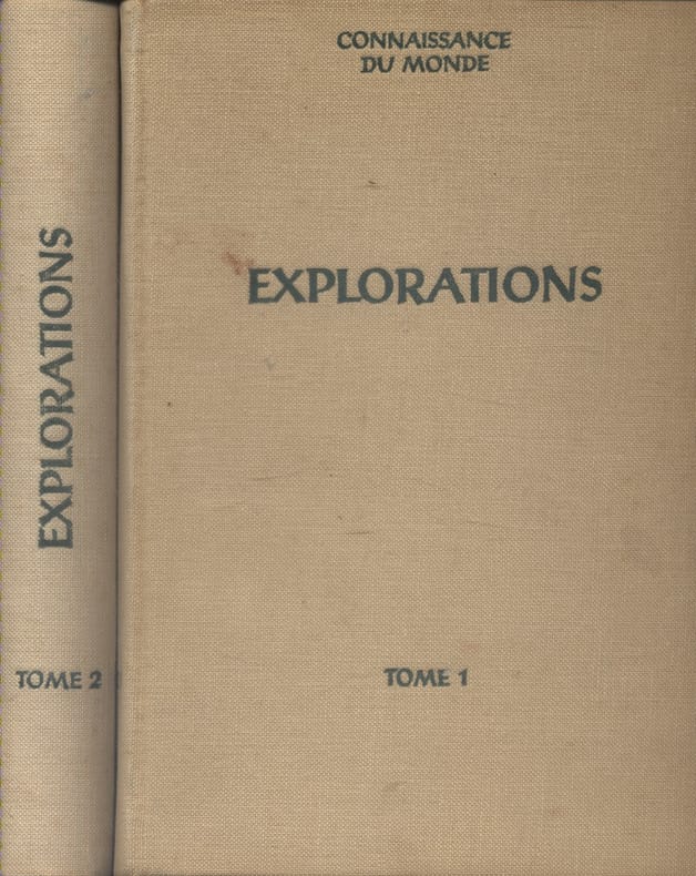
1957ref. 133807Couverture rigide. Reliures toile. 2 volumes 19 x 27 cm. Rousseurs.
Hardcover in-4, 121 pages illustrees en n&b, cartonnage illustre de l"editeur. Tres bel exemplaire (dos leg. insole). [P-38]
1972ref. 142887Couverture souple. Broché. 204 pages. 26 x 28 cm.
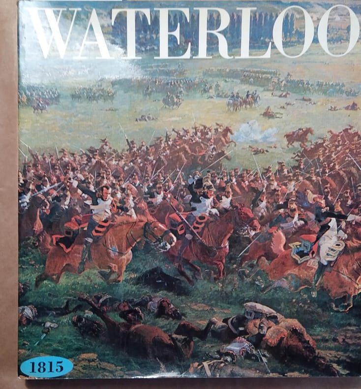
1964ref. 115259Couverture rigide. Reliure skivertex, 286 pages, 23 x 29 cm. Jaquette rhodoïd.
ref. CWE42RT
1943Clean map with two panes a little dusty, four inch tear along one fold and small holes to a few folding corners. 1pp. Linen-backed folded contour map dated 1943 opens up to 25 x 31 inches. Scale given on front cover of 1:6,000,000 is corrected inside as being 1:1,600.000. Date 1943 printed on lower map corner. Scarce.
1925Folding map on paper, coloured in outline, measuring 26.0 x 22.0 ins (approx. 66.0 x 55.5 cms) folding in 20 panels to 7.25 x 5.0 ins (apporox. 18.5 x 12.5 cms); pictorial wrappers, yapped edges, a near fine copy. SCARCE.
1923Folding coloured map on cloth measuring 22.0 x 28.5 ins (approx. 56.0 x 72.0 cms) folding in 21 panels to 7.5 x 4.25 ins (approx. 19.0 x 11.0 cms), small neat contemporary signature on front wrapper else a very good, bright, clean copy. The famous Popular Edition One Inch series was first published in 1919 with striking 'hiker' artwork by Ellis Martin. The present copy is the 1923; the covers are the dark red and black variant with location map. Browne, 11.2.a
1925Folding coloured map on cloth measuring 22.0 x 28.5 ins (approx. 56.0 x 72.0 cms) folding in 21 panels to 7.5 x 4.25 ins (approx. 19.0 x 11.0 cms), covers lightly dust-soiled else a very good, bright, clean copy. The famous Popular Edition One Inch series was first published in 1919 with striking 'hiker' artwork by Ellis Martin. The present copy is the 1925 revision; the covers are the dark red and black variant with location map. Browne, 11.2.a
1919No added marks or inscriptions. Linen-backed map in excellent bright condition, not torn. Covers lightly marked and creased. 1pp. One-inch to one mile Ordnance Survey map of Wiltshire around Salisbury, Bulford and surrounding district published in 1919. Opens up to 22 x 30 inches. Extremely scarce.
1925Folding coloured map on cloth measuring 22.0 x 28.5 ins (approx. 56.0 x 72.0 cms) folding in 21 panels to 7.5 x 4.25 ins (approx. 19.0 x 11.0 cms), covers lightly dust-soiled else a very good, bright, clean copy. The famous Popular Edition One Inch series was first published in 1919 with striking 'hiker' artwork by Ellis Martin. The present copy is the 1925 revision; the covers are the dark red and black variant with location map. Browne, 11.2.a
1914Well used lightly tanned map with damp effect to rear only, no corresponding marks to actual map. No added marks or inscriptions. Not torn but well rubbed at all fold corners. 1pp. Hill-shaded half-inch to one mile Ordnance Survey map of Brighton and surrounding district published in 1914. Opens up to 21 x 30 inches. Extremely scarce.
1987Twelve full-page colour prints in a rigid portfolio folder. Presentation plate to Tom Pendry (now Lord Pendry) inside front cover. No marks or inscriptions and no creasing to covers. Very clean prints in unmarked portfolio. 14pp. Photographic images of the USA Capital City including the White House, the Washington Monument, the Lincoln and Jefferson Memorials, the ceiling of the Capitol Rotunda, the Supreme Court building and the National Gallery of Art. Scarce in the UK.
1939No marks or inscriptions to contents. Very minor creasing to some corners. Clean tight pages with very slightly marked dusty boards, rusty staples and no bumping to corners. With eight attached fold-out coloured maps of major tourist areas in Britain and Ireland in very good condition. 84pp. With forty itineraries of 7 to 14 day Tours in England, Scotland, Ireland and Wales, forty sketch maps and eighty illustrations.
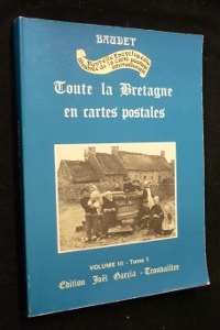
ref. mc654Edition Joël Garcia Broché In-4, (30.5x21.5 cm), broché, couverture illustrée, 114 pages, sans date, cartes postales anciennes en noir et blanc ; usures sur les bordures, plats légèrement défraîchis, bon état général. Livraison a domicile (La Poste) ou en Mondial Relay sur simple demande.
ref. 2764Carte gravée par LAGUILLERMIE et RAINAUD ,extraite de l'Atlas National illustré des 86 départements et des possessions de la France' divisé par arrondissements, cantons et communes avec le tracé de toutes les routes, chemins de fer et canaux. Dressé d'après les travaux du cadastre du dépôt de la guerre et des ponts et chaussées par V. LEVASSEUR ingénieur
ref. 29157P. Levasseur, Sans date (vers 1850). In folio oblong (52/36cm).
ref. 29257P. Levasseur, Sans date (vers 1850). In folio oblong (52/36cm).
ref. 29357P. Levasseur, Sans date (vers 1850). In folio (52/36cm).
ref. CZC-13799format 35x17cm, bel état, vers 1820