STURANI EnricoLivre Rare Book
Waldburger, AAntiquariat.de
Ragaz und Umgebung.
1910ref. 6414Ragaz 1910. Karte mit vollst. Wegmarkierung. 1:25 000. Landkarte 55x59 cm, Faltmaß 19x12 cm. [2 Warenabbildungen]
Antiquariat im Kloster · Alemanha€ 25,00
1997ref. 110188Somogy 1997 Somogy, 1997, 237 p., cartonnage éditeur sous jaquette, environ 29x26cm, bon état.
198982 p., 13 pl. coul. + ill. n/b. Catalogue d'exposition, Ville d'Issy-les-Moulineaux, 17 nov. 1989-12 févr. 1990. Inv. 41382
ref. 13093LYON, guides Pol - In-16 - 7 Edition, vers 1914 - Brochée - 7 plans, 4 cartes dont 1 HT dépliante, 2 profils de route, Gravures en texte - 92 pages + environ 60 pages de publicités régionales, certaines illustrées - Propre
1910ref. 6414Ragaz 1910. Karte mit vollst. Wegmarkierung. 1:25 000. Landkarte 55x59 cm, Faltmaß 19x12 cm. [2 Warenabbildungen]
1967No marks or inscriptions. No creasing to covers or to spine. A very clean very tight copy with bright unmarked boards and no bumping to corners. Dust jacket price clipped but not marked or torn or creased with slight rubbing to upper edge. Jacket now protected in fully-removable transparent sleeve. 78pp. First edition, first printing of the classic Shell Guide to the Isle of Wight.
1932Folding coloured map on cloth measuring 21.x 28.5 ins (approx. 53.0 x 72.0 cms) folding in 24 panels to 7.0 x 3.5 ins (approx. 18.0 x 9.0 cms); original pictorial card wrappers a very good bright clean copy. The famous Popular Edition One Inch series was first published in 1919 with striking 'cyclist' artwork by Ellis Martin. The present copy is the 1932 reissue; the covers are black with red sheet name and location map. Browne, 11.1.a
1932Folding coloured map on cloth measuring 21.x 28.5 ins (approx. 53.0 x 72.0 cms) folding in 24 panels to 7.0 x 3.5 ins (approx. 18.0 x 9.0 cms); original pictorial card wrappers a very good clean copy. The famous Popular Edition One Inch series was first published in 1919 with striking 'cyclist' artwork by Ellis Martin. The present copy is the 1932 [third] reissue; the covers are black with red sheet name and location map. Browne, 11.1.a
1931Folding coloured map on cloth measuring 21.x 28.5 ins (approx. 53.0 x 72.0 cms) folding in 24 panels to 7.0 x 3.5 ins (approx. 18.0 x 9.0 cms); original pictorial card wrappers a very good bright clean copy. The famous Popular Edition One Inch series was first published in 1919 with striking 'cyclist' artwork by Ellis Martin. The present copy is the 1931 reissue; the covers are black with red sheet name and location map. Browne, 11.1.a
1930Folding coloured map on cloth measuring 21.x 28.5 ins (approx. 53.0 x 72.0 cms) folding in 24 panels to 7.0 x 3.5 ins (approx. 18.0 x 9.0 cms); original pictorial card wrappers a very good bright clean copy. The famous Popular Edition One Inch series was first published in 1919 with striking 'cyclist' artwork by Ellis Martin. The present copy is the 1930 reissue; the covers are black with red sheet name and location map. Browne, 11.1.a
1982Fair English Paperback. Pbo. Roy. 8vo. (23 x 16 cm). In Turkish. With folding plans. Navigational maps, nautical charts and publications catalogue of department of course, hydrography and oceanography of Naval Forces. Seyir, Hidrografi ve Osinografi Dairesi Baskanligi seyir haritalari ve notik yayinlar katalogu.
1997This is a fine softcover copy with virtually no wear. Completely clean inside and out. Binding firm. This is a sale catalog for an auction held at Christie's in Amsterdam on Thursday April 17, 1997. The Sale Code is: Ionesco 2328. The sale consisted of Indonesian art and included the J. Daniels Collection of Sea-Charts, Maps, Prints and Books Relating to the Dutch East-Indies. 278 lots in the sale. Most illustrated, many in color. Short essay on the J. Daniels collection. Prices realized sheet included. 11" high X 8" wide, 112 pages. This book will be securely packed and shipped with tracking.
1957Book shows light wear to covers only: slight edge wear, small stain at lower front cover. Binding is solid and square, covers have sharp corners, text/interior is clean and free of marking of any kind. 201 pages with another 87 images over the last section of the book, mostly b&w photos, some maps, drawings. Contents include: Mycenae and her walls, The palace and the houses of the citadel, Houses and graves , Grave circle A, Grave circle B and the new shaft graves.
2002No marks or inscriptions. No creasing to covers or to spine. A lovely clean very tight copy with bright unmarked boards and no bumping to corners. Dust jacket not price clipped or marked or torn or creased with very minor traces of storage 447pp. History, culture, development and the society of Helsinki, Finland's Capital City. 'Helsinki - The Innovative City' describes how the capital of Finland was developed into a handsome, sophisticated city. It tells the story of how its innovative citizens and its determined City Council turned a small rocky seaport into a European city of distinction with fine public services and continuing links with the surrounding nature.
1947Previous owner's impression to front end paper. No other marks or inscriptions. A very clean very tight copy with bright unmarked stiff card boards, slightly dusty page edges and minor bumping to corners. Dust jacket not price clipped but with many tears and repairs and small pieces missing. 122pp. A history of the area in the North Yorkshire Dales with attractive coloured paintings of countryside and village life.
1986Inscription on ffep. No other marks. A lovely clean crisp very tight copy with bright boards and gilt lettering and with no bumping to corners. Dust jacket not price clipped or torn or creased. The delightful slip-case with gilt English and Arabic writing and design on a dark green vellum-type background is in excellent condition. 256pp.
2002Contains pictures. 22x28 cm. ç(8) + 287 pages. Hard cover. Good condition.
In Hebrew. 180X250 mm. 43+4+12 + 55 Plates. Gilt Hard cover with dust jacket. Dust Jacket slightly torn on the upper edge. Cover and spine slightly worn. Yellow pages. Name of previous owner written on the first white page and on title page. Else in good condition. Includes Maps, Photos and Illustrations.
2006Book is in excellent condition. Binding is solid and square, covers have sharp corners, exterior shows no blemishes, text/interior is clean and free of marking of any kind. 192 pages with maps, tables, charts, soundings, very specific harbor entry info etc. for Jonstone Strait, Broughton Strait, Broughton Archipelago, Queen charlotte Strait, Drury Inlet, Grappler and Mackenzie Sound, Greenway Sound, cullen Harbour, Shawl Bay, Tribune Channel Kwatsi Bary, bond sound, Knight Inlet, Lagoon cover, and much more.
Granollers, Editorial Montblanc-Martin, 1975. 4to. mayor; 2 hs., 546 pp. Numerosas ilustraciones fotográficas y mapas plegados fuera de texto. Cubiertas originales.
1914ref. 59701914 1ère série, n°37. Provost, Toulouse. | Etat : Ecriture. Oblitéré sur l'image. (Ref.: JCP4)
ref. 3716Clermont-Ferrand, Michelin, s.d., 56 X 65 cm, dépl., imp. coul. Échelle 1 : 1000000e
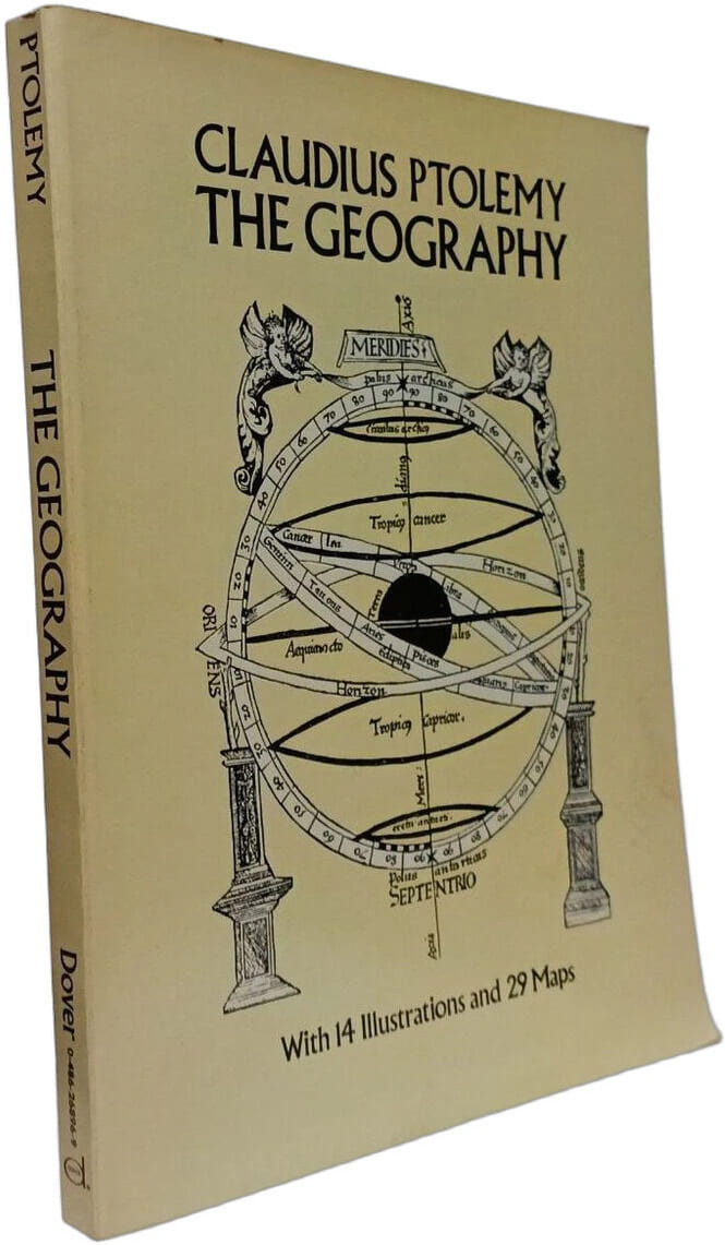
1991ref. 100157966Dover Publications Inc 1991 288 pages 23 622x2 032x30 734cm. 1991. Broché. 288 pages.
1935ref. 6958ca. 1935. Maßstab: 1:300000 farbig. 69x86 cm. Landkarte.
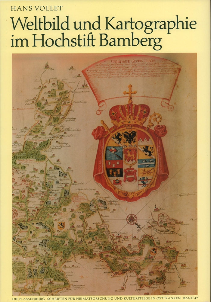
1988ref. 89895Kulmbach, Freunde der Plassenburg, 1988. 240 S. Mit 181 tls. farb. Abb und Karten. (= "Die Plassenburg" für Heimatforschung und Kulturpflege in Ostfranken, Bd. 47). 34 cm. OLn. m. SU.
1909ref. 6413Ragaz 1909. 1 mehrfarb. Faltplan m. Textteil. 18x12 cm (35x45 cm). [2 Warenabbildungen]