Antiquariat.de

12.595 resultados
ref. 12046DBo.J. [2 Warenabbildungen]
42,5 x 50 cm. (Blatt: 46 x 54 cm). *Sauber und sehr gut erhalten. Landkarten de
41,5 x 53 cm. (Blatt: 49 x 60 cm). *Sauber und sehr gut erhalten. Landkarten de
Size: 60 x 49 cm (23 x 16 inch) with wide margins. Leaf: 69 x 51 cm (27 x 20 inch). Printed in red and green colour on thin paper. *Probably the 1878 edition. - "In 1858 William H. Rand, a native of Boston, established a printing office in Chicago and employed as a printer Andrew McNally. By 1868 Rand and McNally formed a partnership which soon acquired a reputation for printing railroad publications. In 1871 they introduced the Rand, McNally Railway Guide. That same year their business was destroyed in the Great Chicago Fire. Rand and McNally opened their new map department in late 1872. In January 1873 it was announced that "the house of Rand, McNally & Co. beg leave to inform their railroad friends and the patrons of the Railway Guide generally, that they have lately made extensive additions to their engraving department, and are now prepared to execute maps using relief-plate engraving [i.e., wax engraving] in the very highest style of the art." With the adoption of the wax engraving process, followed in May 1873 by the employment of a color printing process, the company`s reputation as one of the world`s leading commercial mapmakers was established. A major accomplishment of Rand, McNally was the publication in 1876 of the "New Railroad and County Map of the United States and Canada. Compiled from Latest Government Surveys, and Drawn to an Accurate Scale." That same year, the company used the plates from this map to produce its famous Commercial Atlas and Marketing Guide. This relief map of California and Nevada was included in Rand, McNally & Co.’s Business Atlas published in 1878-9. It shows cities, towns, waterways, and labeled railroad routes" (Historical maps). - Very good condition. Landkarten de
36 x 48 cm. (Blatt: 47 x 57 cm). *Zeigt das Gebiet von Mecklenburg. Schönes Altkolorit. - Sauber und sehr gut erhalten. Landkarten de
Format: 44 x 58 cm. *Großformatige Kupferstichkarte der Oberlausitz in Schlesien. Ohne jegliche Impressumangaben, vermutlich Teil einer mehrteiligen Karte in kleinem Maßstab, mittig der Landkreis Görlitz, links die Herrschaft Rothenburg. - Sauber und sehr gut erhalten. Mit 2 leichten Falzspuren. Landkarten de
38 x 49 cm. (Blatt: 43,5 x 54 cm). *Westorientierte Karte des Gebietes von Oberschwaben, links mit dem Bodensee. Rückseitig mit dem deutschsprachigen Text "Beschreibung der Lanndschafft Alemanni oder des obern Schwabenlands". - Sauber und sehr gut erhalten. Landkarten de
37 x 48 cm. (Blatt: 46 x 57 cm). *Zeigt das Gebiet des Bistums Osnabrück, links unten mit einer kleinen kolorierten Ansicht in Kartusche. - Die kleine Ansicht und die Kartuschen teilweise koloriert. Sauber und sehr gut erhalten. Breitrandi. Landkarten de
Grande mappa del Minnesota, databile intorno al 1880. Conservata nella sua copertina originale in tela bordeaux con titolo in oro al piatto superiore. A big map of Minnesota, about 1880. In his original canvas cover, golden title on upper dish.
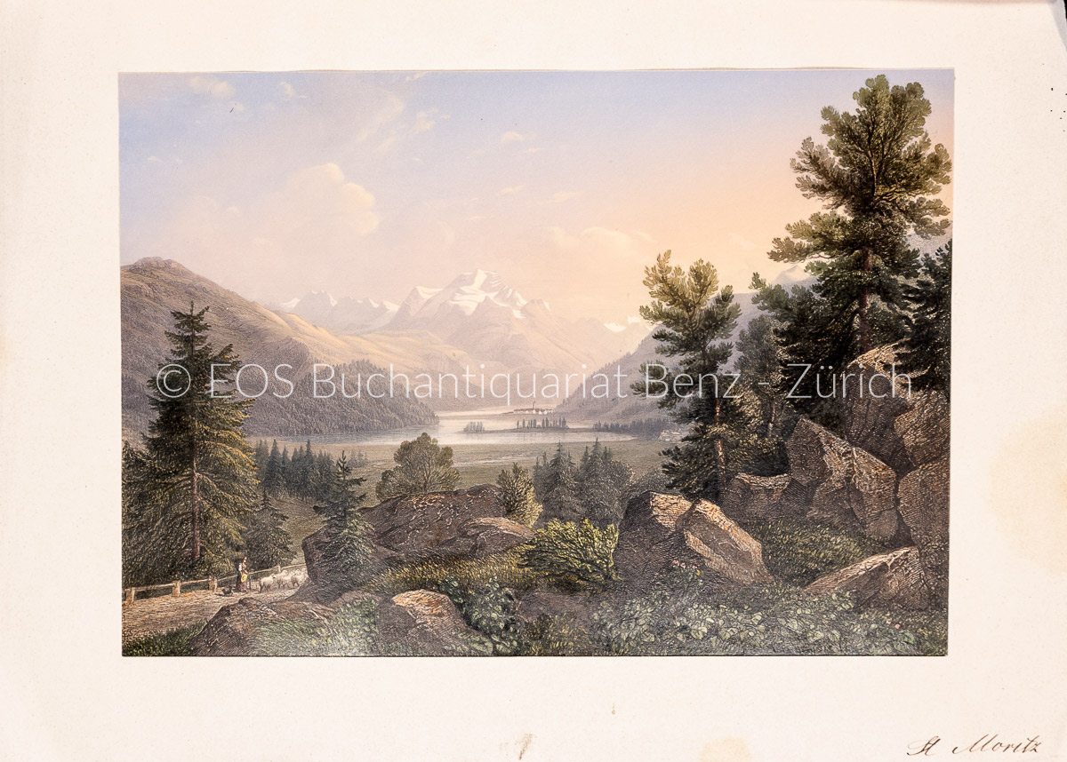
1840ref. 1764AGZürich., J.J. Ulrich., ca. 1840. Altkolorierter Stahlstich von R.Huber. Blattformat: 16 x 23 cm. + Wichtig: Für unsere Kunden in der EU erfolgt der Versand alle 14 Tage verzollt ab Deutschland / Postbank-Konto in Deutschland vorhanden +, A
1840ref. 848CG(um 1840). Kol. Aquatinta. Bildausschnitt: 7,2 x 11 cm. Rahmengrösse: 16 x 21 cm. + Wichtig: Für unsere Kunden in der EU erfolgt der Versand alle 14 Tage verzollt ab Deutschland / Postbank-Konto in Deutschland vorhanden +, Abb.
ref. 141680 104x71 1 carte marine (à toutes marges) pliée en quatre. (N° 942). Cette carte est levée en 1835 par MM. R. Moresby et F.T. Powell, officiers de la Marine de la Compagnie des Indes. Carte gravée par Chassant (corrections essentielles en 1870) et imprimée sur beau vergé fort filigrané (tirage ancien, de la fin du XIXème siècle). Bel exemplaire
1950ref. 28217Editions P.I sans date ( années 50 ) . Belle carte postale en noir et blanc de George Raft dans le rôle de Guino Rinaldo dans le film Sarcafe, de Howard Hawks, au format 14 x 9 cm. La photo est extraite du film " Scarface " réalisé en 1932 par Howard Hawks. Superbe état. Carte avec dédicace autographe, signée, de George Raft et de Marguerite Moreno au verso. La rencontre des 2 acteurs date d'avant 1948, annèe de décès de Marguerite Moreno. Rare. Provient de la très importante collection de Denyse Trivier, qui fut une collectionneuse acharnée d'autographes.
ref. 242581Bordeaux, Féret [Imprimerie centrale de Vve Lanefranque], 1870 in-12, [2] ff. n. ch. (réclames), 32 pp. de texte (tableau des voies), [3] ff. n. ch. (réclames), avec un grand plan dépliant (58 x 73 cm) aux contours rehaussés de couleurs, toile chagrinée cerise, dos lisse muet, encadrements à froid sur les plats, titre et armes de Bordeaux poussés au centre du plat supérieur (reliure de l'éditeur).
1835ref. 26317(Paris), Blaisot, 1835. Un fort vol. au format pt in-4 (263 x 182 mm) de 1 titre-frontispice n.fol. et [99] planches gravées sur double-page. Reliure de l'époque d edemi-basane glacée sapin, dos lisse orné de doubles filets dorés, larges fleurons romantiques dorés, titre doré.
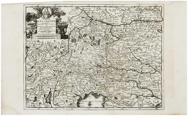
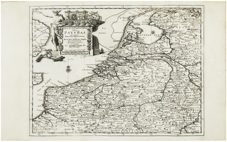
1729ref. LBW-6229Leide, Pierre Vander Aa, [1729]. 224 x 297 mm.
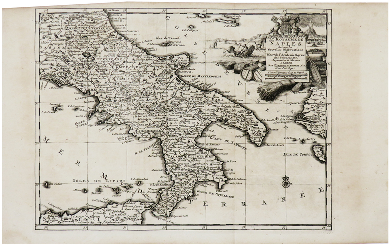
1729ref. LBW-6192Leide, Pierre Vander Aa, [1729]. 224 x 296 mm.
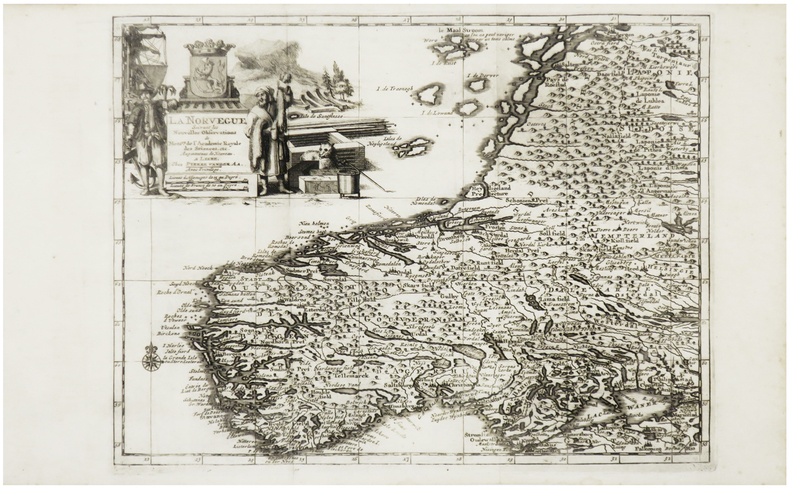
1729ref. LBW-6213Leide, Pierre Vander Aa, [1729]. 223 x 296 mm.
1729ref. LBW-6231Leide, Pierre Vander Aa, [1729]. 222 x 296 mm.
1729ref. LBW-6263Leide, Pierre Vander Aa, [1729]. 225 x 298 mm.
1729ref. LBW-6230Leide, Pierre Vander Aa, [1729]. 223 x 297 mm.
1729ref. LBW-6228Leide, Pierre Vander Aa, [1729]. 223 x 298 mm.
1729ref. LBW-6218Leide, Pierre Vander Aa, [1729]. 224 x 297 mm.
1729ref. LBW-6219Leide, Pierre Vander Aa, [1729]. 220 x 296 mm.
1729ref. LBW-6215Leide, Pierre Vander Aa, [1729]. 222 x 298 mm.