MINISTÈRE des TRAVAUX PUBLICS.Livre Rare Book
12.535 resultados
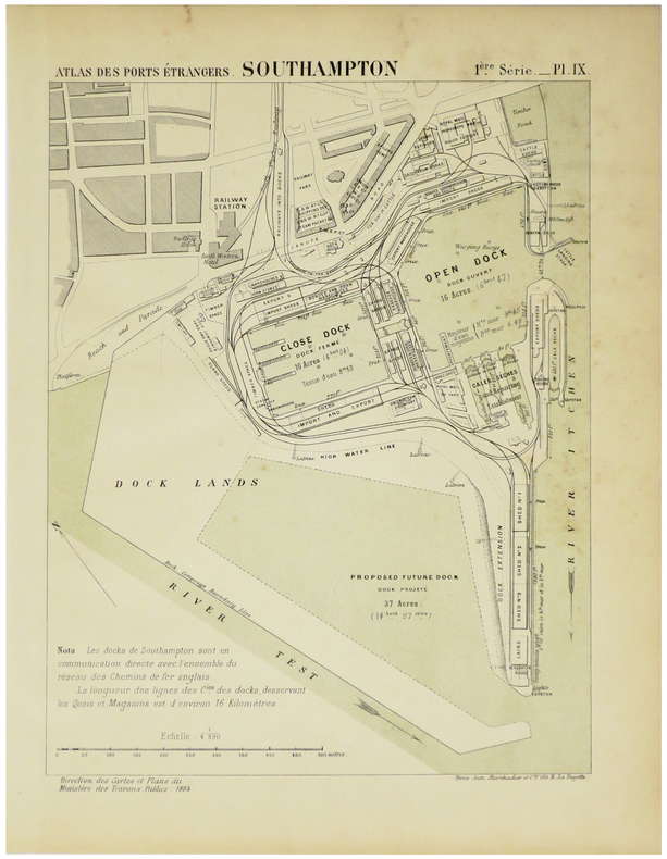
1884ref. LBW-5474Paris, Auto. Marchadier et Cie, 1884. 285 x 211 mm.
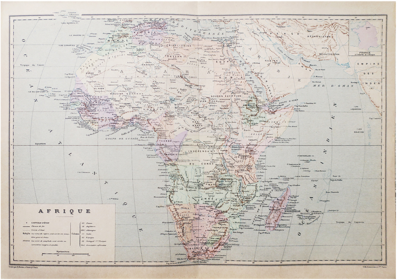
1890ref. LBW-8651Paris, [1890]. 275 x 405 mm.
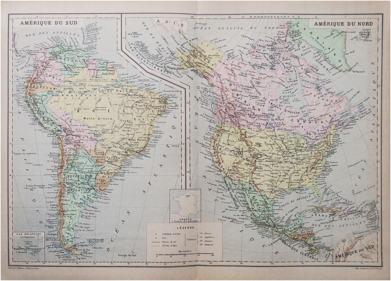
1890ref. LBW-8654Paris, [1890]. 272 x 404 mm.
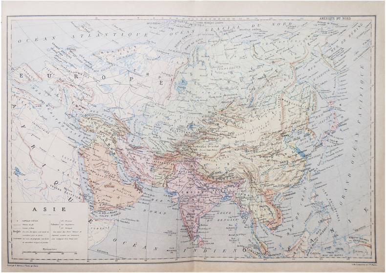
1890ref. LBW-8643Paris, [1890]. 274 x 407 mm.
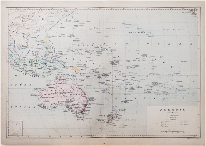
1890ref. LBW-8650Paris, [1890]. 271 x 404 mm.
1555ref. LBW062051555 65 x 102 mm.
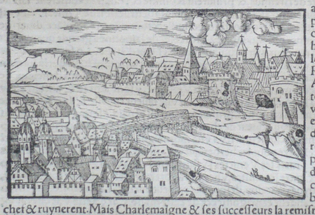
1588Tavola tratta dalla Cosmographiae Universalis, edizione in tedesco, Basilea, seconda metà del XVI secolo.La Cosmographiae Universalis di Sebastian Münster (1488-1552), stampata per la prima volta Basilea nel 1544 dall’editore Heinrich Petri, venne più volte aggiornata e aumentata di nuove carte geografiche e rappresentazioni urbane nelle sue numerose edizioni che arrivano all’inizio del secolo successivo. Münster aveva lavorato a raccogliere informazioni al fine di ottenere un'opera che non deludesse le aspettative e, dopo un'ulteriore pubblicazione in tedesco abbellita da 910 stampe su legno, giunse nel 1550 all'edizione definitiva in latino, illustrata da 970 silografie. Vi furono poi numerose edizioni in diverse lingue, fra cui latino, francese, italiano, inglese e ceco. Dopo la sua morte di Münster (1552), Heinrich Petri prima, e il figlio Sebastian poi, continuarono la pubblicazione dell’opera. La Cosmographia universalis fu uno dei libri più popolari e di successo del XVI secolo, e vide ben 24 edizioni in 100 anni: l'ultima edizione tedesca venne pubblicata nel 1628, molto tempo dopo la morte dell'autore. La Cosmographia conteneva non solo le ultime mappe e vedute di tutte le città più famose, ma anche una serie di notizie enciclopediche di dettagli relative al mondo conosciuto, e sconosciuto. Il particolare successo anche commerciale di quest'opera fu dovuto in parte alle belle incisioni (tra i cui autori si possono citate Hans Holbein il Giovane, Urs Graf, Hans Rudolph Manuel Deutsch, David Kandel). Silografia, bella coloritura a mano, in buone condizioni. Plate taken from the Cosmographiae Universalis, German edition, Basel, second half of the 16th Century. The Cosmographiae Universalis of Sebastian Münster (1488-1552), printed for the first time in Basel in 1544 by the publisher Heinrich Petri, was updated several times and increased with new maps and urban representations in its many editions until the beginning of the next century. Münster had worked to collect information in order to obtain a work that did not disappoint expectations and, after a further publication in German embellished with 910 woodblock prints, arrived in 1550 to the final edition in Latin, illustrated by 970 woodcuts. There were then numerous editions in different languages, including Latin, French, Italian, English and Czech. After his death in Münster (1552), Heinrich Petri first, and then his son Sebastian, continued the publication of the work. The Cosmographia universalis was one of the most popular and successful books of the 16th century, and saw as many as 24 editions in 100 years: the last German edition was published in 1628, long after the author's death. The Cosmographia contained not only the latest maps and views of all the most famous cities, but also a series of encyclopedic details related to the known, and unknown, world. The particular commercial success of this work was due in part to the beautiful engravings (among whose authors can be mentioned Hans Holbein the Younger, Urs Graf, Hans Rudolph Manuel Deutsch, David Kandel). Woodcut, beautiful hand-coloring, in good condition.
ref. c2392Paris,Neudin,1977 ; grand in-8°,broché,couverture de papier glacé vert illustrée en couleurs; 183pp.,1p.nch.;couverture légèrement poussiéreuse au 2eme plat,petit poinçon en forme d'étoile en haut du 1er plat;ex-libris manuscrit au titre.Bon exemplaire.
1829ref. 188514BassetM. Paris ,Chez Basset, 1829. Grande carte dépliante de 92*63 cm, repliée sous cartonnage. Carte en noir avec en bord, des suppléments pour : Madrid et Lisbonne. Turin, Florence, Milan, Rome et Naples. Vienne et Constantinople. Dresde, Berlin, Varsovie, Moscou et Saint Petersbourg. Copenhague et Stockholm. Amsterdam. Indiquant exactement les différentes espèces de routes et les distances intermédiaires des villes, bourgs, villages en lieues de poste de 2000 toises. Quelques déchirures aux pliures.
1807ref. 28312Paris Basset 1807 carte ancienne colorée d'époque en vert , rouge et jaune, sur papier vergé ligné, cartouche non coloré, Format total : 56 centimètres de haut par 75 centimètres de large, 1807 Paris Basset Editeur,
1817ref. LBW-4992Paris, Basset, 1817. 477 x 654 mm.
1791ref. LBW-4851[Paris, Mondhare, 1791]. 200 x 258 mm.
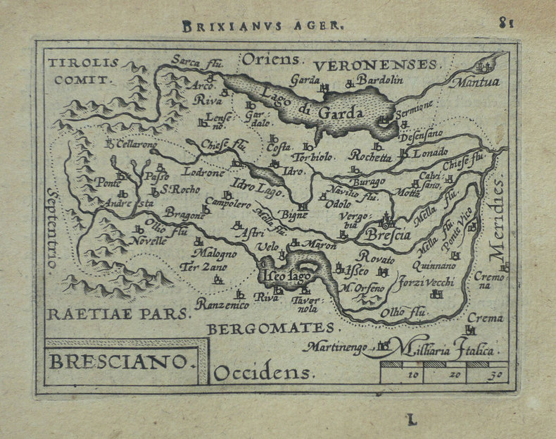
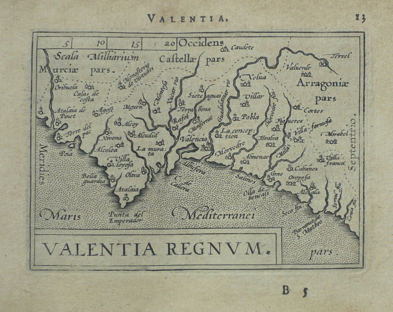
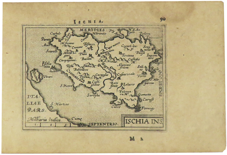
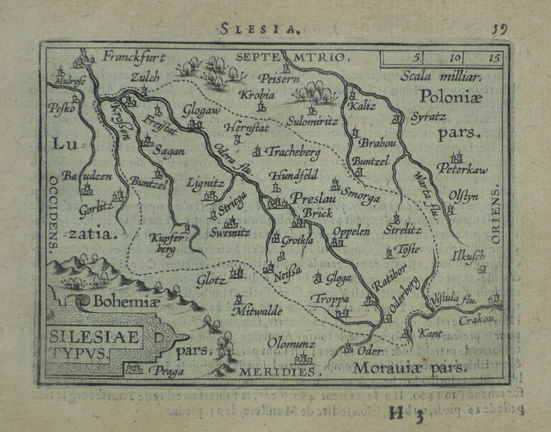
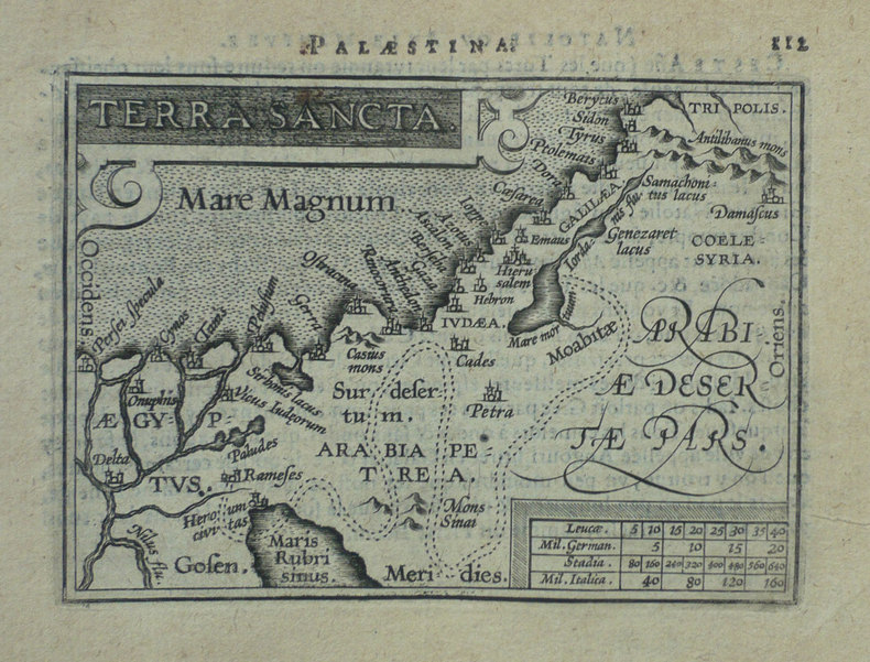
1598ref. LBW-1419Anvers 1598 82 x 106 mm.
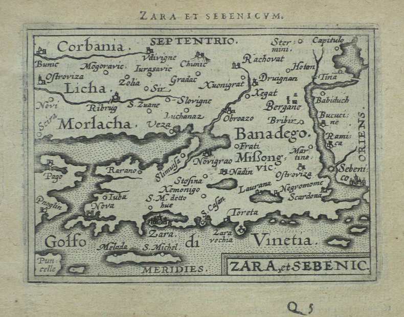
1598ref. LBW-1430Anvers 1598 81 x 105 mm.
1598ref. LBW-1403Anvers 1598 81 x 107 mm.
1598ref. LBW-1405[Anvers, 1598]. 82 x 106 mm.
1598ref. LBW-1391Anvers 1598 81 x 106 mm.
1598ref. LBW-1425Anvers 1598 80 x 105 mm.
1598ref. LBW-1428Anvers 1598 81 x 105 mm.
1791ref. LBW-6016[1791]. 180 x 230 mm.
ref. LBW045fdcirca 1690 128 x 200 mm.
ref. LBW02507[circa 1690]. 121 x 231 mm.
ref. LBW045edcirca 1690 139 x 234 mm.
ref. LBW045f2circa 1690 129 x 236 mm.
1890ref. LBW-8653Paris, [1890]. 227 x 155 mm.