12.365 resultados
1920Very Good Turkish, Ottoman (1500-1928) Original color map. Elephant folio. (59x75 cm). In Ottoman script. [OTTOMAN MILITARY MAP of PATAGONIA and FALKLAND ISLANDS: ROUTE of DRESDEN] Alman kruvazörü Dresden'in takîbi ve tahrîbi. SMS Dresden cruiser's routes between 1913-1915 (World War 1) on the Patagonian shelf; western shores of South America, Patagonia and Falkland Islands. Dresden spent much of her career overseas. After commissioning, she visited the United States in 1909 during the Hudson-Fulton Celebration, before returning to Germany to serve in the reconnaissance force of the High Seas Fleet for three years. In 1913, she was assigned to the Mediterranean Division. She was then sent to the Caribbean to protect German nationals during the Mexican Revolution. In mid-1914, she carried the former dictator Victoriano Huerta to Jamaica, where the British had granted him asylum. She was due to return to Germany in July 1914, but was prevented by the outbreak of World War I from doing so. At the onset of hostilities, Dresden operated as a commerce raider in South American waters in the Atlantic, then moved to the Pacific Ocean in September and joined Maximilian von Spee's East Asia Squadron. Dresden saw action in the Battle of Coronel in November, where she engaged the British cruiser HMS Glasgow, and at the Battle of the Falkland Islands in December, where she was the only German warship to escape destruction. She eluded her British pursuers for several more months, until she put into Robinson Crusoe Island in March 1915. Her engines were worn out and she had almost no coal left for her boilers, so the ship's captain contacted the local Chilean authorities to have Dresden interned. She was trapped by British cruisers, including her old opponent Glasgow. The British violated Chilean neutrality and opened fire on the ship in the Battle of Más a Tierra. The Germans scuttled Dresden and the majority of the crew escaped to be interned in Chile for the duration of the war. The wreck remains in the harbor; several artifacts, including her bell and compass, have been returned to Germany.
ref. Z1-F-060-01618BRGM. Used - Good. Ships from UK in 48 hours or less usually same day. Your purchase helps support Sri Lankan Children's Charity 'The Rainbow Centre'. Ex-library so some stamps and wear but in good overall condition. 100% money back guarantee. We are a world class secondhand bookstore based in Hertfordshire United Kingdom and specialize in high quality textbooks across an enormous variety of subjects. We aim to provide a vast range of textbooks rare and collectible books at a great price. Our donations to The Rainbow Centre have helped provide an education and a safe haven to hundreds of children who live in appalling conditions. We provide a 100% money back guarantee and are dedicated to providing our customers with the highest standards of service in the bookselling industry. BRGM unknown
1610ref. 48922(Amsterdam, ca. 1610). (19x25,5 cm.). Engraved map of the south east of England in old handcolouring with The Isle of Wright, London, Cambridge etc. etc. Letterpress headline outside engraving ""Angleterre"". Coloured in full. Right and left sides shaved.
1867ref. 46634Gotha, Julius Perthes, 1867. 4to. Contemp, hcalf. Gilt spine. Spine somewhat rubbed. A small stamp to titlepage. VI,470 pp. and 19, partly folded, lithographed maps and plans. Textleaves with some browning and scattered brownspots. Maps clean.
1610(Amsterdam, ca. 1610). (19x25,5 cm.). Engraved map of the south east of England in old handcolouring with The Isle of Wright, London, Cambridge etc. etc. Letterpress headline outside engraving ""Angleterre"". Coloured in full. Right and left sides shaved.
1867Gotha, Julius Perthes, 1867. 4to. Contemp, hcalf. Gilt spine. Spine somewhat rubbed. A small stamp to titlepage. VI,470 pp. and 19, partly folded, lithographed maps and plans. Textleaves with some browning and scattered brownspots. Maps clean.
1976ref. Q-0878132252s.n. 1976-01-01. Hardcover. New. In shrink wrap. Looks like an interesting title! s.n.] hardcover
ref. 4551951589835357Geographia Ltd Fleet Street London. Hardcover. Good. THERE ARE NO TARIFFS OR CUSTOMS DUTIES ON BOOKS. Hardback. Used Very Good. Red boards with gilt title down the spine. Greater London Plans of London And Suburbs Parliamentary Administrative Postal Areas Underground.Railways Underground Stations and Bus or Tram Routes indicated on the maps.See photosThe maps are based upon the Ordnance Survey Maps with the sanction of the Controller of H.M. Stationery Office. Date not given but probably around 1930's. Copyright © Geographia Ltd Fleet Street London THERE ARE NO TARIFFS OR CUSTOMS DUTIES ON BOOKS. An audio offering from William.It's the beginning of the summer holidays and William and the Outlaws see an endless expanse of gloriously carefree days stretching ahead - but how to fill them. The six classic adventures contained in this unabridged reading are: William and the Holiday Centre; William's Treasure Trove; William and the Cottage; William Tackles the Job; William and Detective Journalism; and William and the Parsons' Guy. Read by Martin Jarvis. Copyright © BBC Audio Geographia Ltd Fleet Street London hardcover
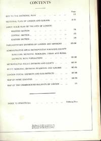
ref. 455964Geographia Ltd Fleet Street London. Hardcover. Good. Hardback. Used Very Good. Red boards with gilt title down the spine. Greater London Plans of London And Suburbs Parliamentary Administrative Postal Areas Underground.Railways Underground Stations and Bus or Tram Routes indicated on the maps.See photosThe maps are based upon the Ordnance Survey Maps with the sanction of the Controller of H.M. Stationery Office. Date not given but probably around 1930's. Copyright A� Geographia Ltd Fleet Street London Geographia Ltd Fleet Street London hardcover
1972464 pages including notes, index, black and white photographic plates and illustrations. "In spite of recent well-publicized seizures of massive shipments of heroin from Southeast Asia, heroin continues to flood the country, spreading into every level of this society and shredding the fabric of everyday life. U.S. government estimates of the number of addicts has leaped from 315,000 in 1969 to over 560,000 in 1972. This book puts all the pieces of this ghastly puzzle together, and then maps the possible avenues out of the horror, suggesting that America may have to choose between our commitments in Southeast Asia and getting heroin out of our high schools." - from dust jacket. Moderate wear. Book clean and unmarked. Small closed tear to dust jacket. Nice copy. Book
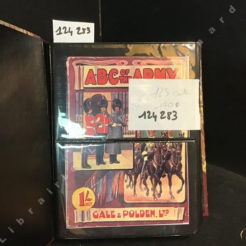
2012ref. 1242832012 Cale et Polden LTD, Sansdate ( 20ème siècle) - Présentation des 123 cartes dans un album photo moderne - Illustrations en couleurs de chaque costume militaire (Voir photos)
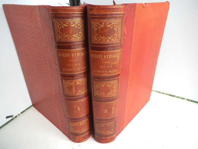
ref. 9721Publié sous la direction du Contre Amiral DUMONT D’ URVILLE. Nouvelle édition revue, corrigée. Deux tomes en deux volumes in 4 demi-cuir rouge. Titre et caissons dorés. Larges filets à froid sur les plats. Tome1 : faux-titre, frontispice gravé, sous serpente, titre XI, 550 pages, 1 page de table des chapitres, tranches mouchetées. 21 gravures sur acier, hors-texte, sous serpente, y compris le frontispice, Une grande carte dépliante Tour du Monde. Furne & Cie 1848. Rousseurs, importantes, fortes à certaines pages ainsi qu’au verso de certaines gravures. Une mouillure à l’ange supérieur droit. Tome 2 : faux-titre, frontispice gravé sous serpente« mort du Capitaine COOK », 542 pages, 20 gravures sur acier, hors-texte , sous serpente, y compris le frontispice. Grande carte dépliante des Iles TAHITI pour les voyages autour du monde ; 1 page de table des chapitres. Rousseurs, fortes et concentrées à certaines pages, ainsi qu’au verso de certaines gravures. Furne et Cie 1848
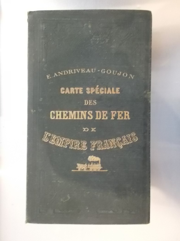
1870ref. CHF150MTaille : 96 x 83 cm. Editions E. Andriveau-Goujon.
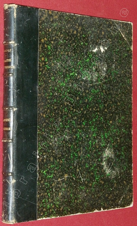
ref. 82982A Elbeuf (sur Seine), chez l'Auteur, à Mulhouse, chez J.P. Risler, Libraire, 1852, 1 volume de 220x280x20 mm environ, complet de 89 planches+ pl. de titre, demi basane bleu marine, dos à 5 nerfs portant titres dorés, gardes marbrées. Mors internes en partie fendus, frottements sur le cuir et le cartonnage, coupes et coiffes émoussées, intérieur bon état.
1877Paris Garnier fréres 1877, trés fort In-4 relié demi chagrin rouge, dos à nerfs et caissons trés décorés, plats de percaline rouge, toutes tranches dorées, 1206 pages. Avec 100 cartes, certaines en couleurs et dépliantes, de nombreuses gravures intercalées dans le texte, 12 planches de types en chromolithographie couleurs sous serpentes et des gravures sur acier en hors texte. Trés bon exemplaire, complet, bien relié, bel état.
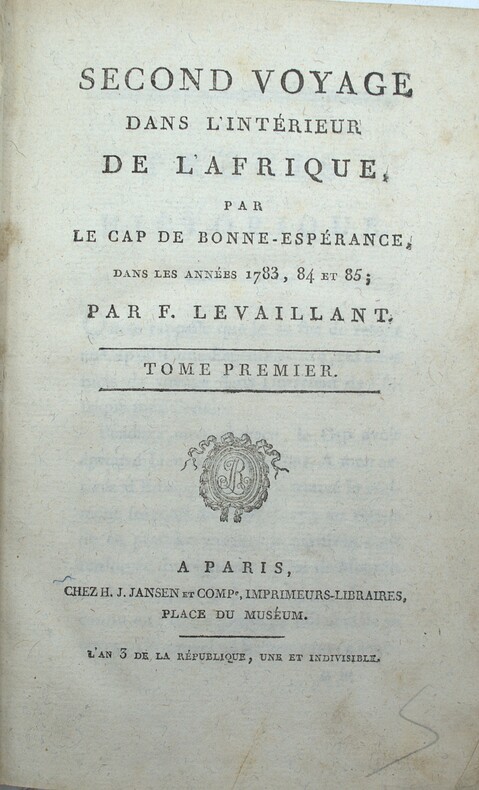
1797ref. PHO-2424Paris & Amsterdam, Jansen et Compagnie, libraire associés, An 3 (1795) & 1797, 3 volumes in-8 (20x13cm) en reliures et éditeurs différents, 2ff.-xliv-304pp., 1f.-264pp.,2ff.-525pp.1f., demi basane et coins pour les tomes 1 & 3, pleine basane pour le tome 2. Frottements et défauts divers, mouillure au tome 3, rousseurs, papier bruni au tome 2. Illustré de 21 (sur 22) planches : diverses vues dépliantes de campements, spécimens de flore (concombre) et faune surtout (hippopotame, hyène, babouin, belle tête de girafe...) et divers autochtones.
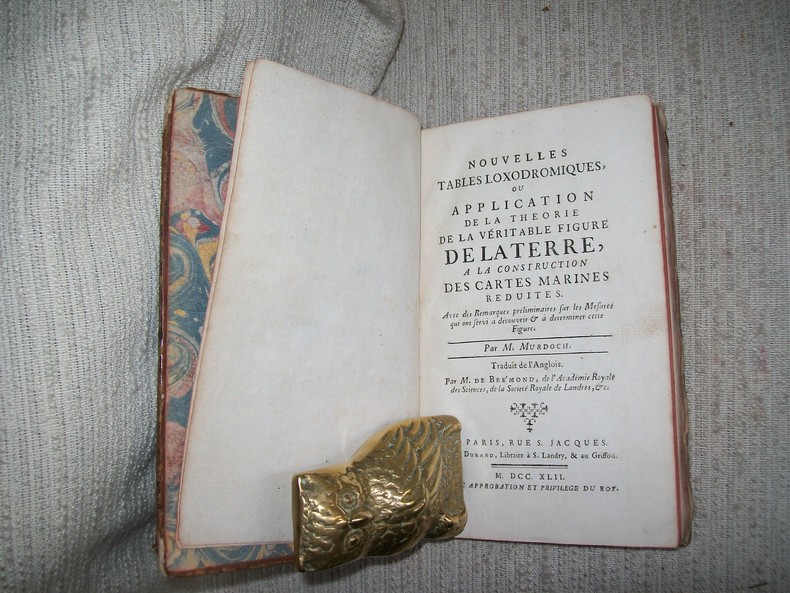
1742ref. GIT00868A Paris chez Durand 1742. In-8 1f n ch IV-XVI 2-158pp. Pleine basane havane, dos à nerfs orné de compartiments dorés, tranches brique, rel époque. Orné de 4 planches hors texte dépliantes regroupant 14 figures. Coiffes et 3 coins usés avac manques, 1 mors fendu sur 3cm, plats frottés, parfait état intérieur. Poggendorff II, 241. Polak 6923. 1re édition.
ref. DADAX0198834691New unknown
2000ref. 0904219China Press 2000-01-01. hardcover. Used - Good. Ship out in 2 business day And Fast shipping Free Tracking number will be provided after the shipment.China CARTOGRAPHIC PUBLISHING HOUSE. Bei Jing. 1989. Hardcover. Book Condition: New. First Edition. 380x270mm. Language: Chinese and English bilingual 1989/298 pages China is in a unique geodynamic position and offer a good opportunity for study of dynamics of continental lithosphere. In the past 20 years a wealth of new data from all branches of earth sciences and from every provinces has been accumulated. Thus the time appeared right for an attempt at a comprehensive treatment of the new da. Satisfaction guaranteedor money back. China Press hardcover
1835ref. 203763Philadelphia.: W. Marshall. Circa1835. Handcoloured engraved map 26.5 x 41.3 cms; 29.6 x 48.3 cms sheet central fold insets of "Oceanica" and "New Holland" central table some light staining in the image and margins in good condition. Eurocentrism laid bare. This 19th Century map includes a "State of Society" for each part of the world declared with a symbol to represent "Barbarous Half Civilized Civilized and Enlightened Societies" as well as noting religion and ethnicity. It includes a table of distances between chief towns or capitals and between these towns and Washington DC. Australia "New Holland" is styled principally as pagan barbarous unexplored and African a thin sliver of what is now New South Wales and Victoria is labelled civilized European and Protestant. Scarce. . (W. Marshall). unknown
1967ref. 169746Beijing.: 地图戰報.Di tu zhan bao. September1967. Maps printed in red and black single sheet printed on both sides folded scale not given photographic image of Mao Zedong. Some light browning at edges with tears and losses on left edge still good. Text in Chinese. Sheet measures 26.5 x 38.4cm. Includes a map of Autumn Harvest Uprising and also shows the routes of the military advancing towards Jinggangshan between September and October 1927. On reverse left section a map shows the route along which Chairman Mao led the Fourth Army of the Chinese Red Army marching towards south of Anhui and Jiangxi Provinces in 1929. On reverse right section a map titled "The Long March of The Chinese Workers' and Peasants' Red Army October 1934-October 1935". Quotations of Chairman Mao about the Long March insert on corners of the map. Issue no. 6 of a series of maps with text issued by the Red Guards organisations in the form of Cultural Revolution tabloid-sized newspaper. This issue is designed to celebrate the 40th anniversary of the Autumn Harvest Uprising which was one of the earliest armed uprisings organised by the Chinese Communist Party. . 地图戰報.[Di tu zhan bao]. unknown
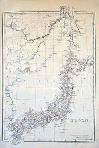
1852ref. 185246London.: Cassell Petter & Galpin. circa1852. Map with outline handcolour 42.5 x 30.1 cms; 49.2 x 34.3 cms sheet margins a little toned small corner crase but in very good condition. Very detailed map of the Japanese islands with Sakhalin above and the coast of Manchuria and Korea. . Cassell, Petter & Galpin. unknown
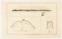
1784ref. 174896London.: Alexander Hogg at the King's Arms. circa1784. Engraved map in triptych on laid paper 20.1 x 32.7 cm three insets: cross section of the north side of Queen Charlotte's Islands Solomon Islands with detail of a volcano "6 leagues North"; Swallow's Bay Harbour; and Byron's Harbour early hand colour trimmed to the plate mark at the top edge neat sealed tear affecting the publisher's caption slight edge wear and paper toning but a most attractive map in very good condition. Attractive engraving of the Queen Charlotte's Islands Solomon Islands. The Islands were named for the consort of King George III by Philip Carteret the British naval officer and explorer who participated in two of the Royal Navy's circumnavigation expeditions in 1764–66 and 1766–69. His ship the Swallow gave her name to the Bay and Carteret's commanding officer on the first of his voyages John Byron to the Harbour depicted in this most attractive early chart. . Alexander Hogg at the King's Arms. unknown
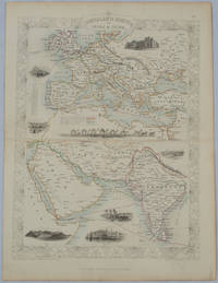
1850ref. 177525London.: The London Printing and Publishing Company. circa1850s. Lithographed map with original outline hand colour 33 x 24.5 cm including border and captions seven vignette illustrations two reference keys decorative border central fold light toning mainly at the central fold and to the verso of the sheet in very good condition preserved in a window mount. Attractive decorative map with fine vignettes of the London Post Office Suez Bombay Madras. Aden Malta Gibraltar and a wonderful camel train led by a carriage and horses crossing North Africa originally by the great mapmaker and publisher John Tallis. The two reference keys note steam packet routes railways electric telegraph and the Suez Canal. . The London Printing and Publishing Company. unknown
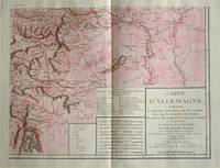
1805ref. 570721805. Copper engraving with handcolouring map shows the border of the Austrian Empire and Hungary Vienne sic and the Danube can be seen at the top of the map Two keys and scale inset. Few closed tears and some browning edges otherwise a clean and bright image. Map measures approximately 34 x 44cm. Map of Germany indicating the present division of this empire as well as the new possessions of the princes who make up the Germanic body and including Batavia and Helvetia Switzerland with their divisions. by E. Mentelle a member of the institute and P. G. Chanlaire one of the authors of the National Atlas. An xiii 1805. Paris. There is a key to the explanation of the signs and an explanation of the colours used for the district of the various states contained in this map. . unknown