12.365 resultados
1935ref. 215892Lahore.: Government Printing Office. Revised Edition. 1935. Four folding colour maps xi 311 pages 26.5 x 18 cms; original papered boards spotted and a trifle scuffed linen backstrip with paper title label worn; foredges and endpapers spotted a few leaves toned but on the whole in very good condition the maps particularly bright and clean. A remarkable association copy: the author Frederick Blyth Wace's copy with his inked initials to the front free endpaper and his humorous unpublished foreword tipped in opposite the preface together with a dedication leaf both in Wace's hand and his business card loose within. As a further dedication makes clear this copy was given by Wace's son a couple of his loose notes on scrap paper are included the eminent botanist Nigel Morritt Wace 1929-2005 late head of the Australian National University's department of Biogeography and Geomorphology in 2003 to his fellow academic and marsupial biologist Dr. Hugh Tyndale-Biscoe. Both Wace and Biscoe were born in India and began their schooling in Kashmir at the school founded by Tyndale-Biscoe's father a Christian missionary and for whom the school is named. From the collection of Hugh Tyndale-Biscoe. . Government Printing Office. hardcover
1991ref. 26434Carouge, Fondation du présent et les auteurs, 1991. Lot de 80 x la même grande carte (16x22), éditée à l’occasion de l’album collectif "Les aventures du latex", projet réunissant des auteurs européens autour du thème de la prévention et du préservatif. Illustration de Benoît Van Innis.
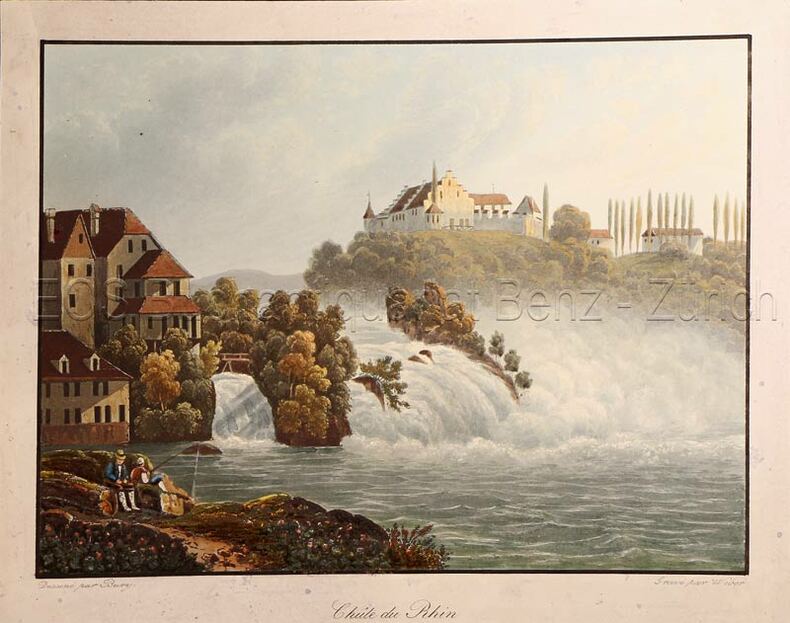
1850ref. 616DG(Zürich, H.F. Leuthold), um 1850. Kolorierte Aquatinta von Weber. Bildgrösse: 13,2 x 17,4 cm. Blattgrösse: 15,4 x 19,4 cm.
1823ref. 6335Livorno, Tipografia Vignozzi, 1823. 1 tome divisé en deux volumes de 352 pages et de la page 353 à 739, demi-vélin blanc à coins, dos lisse, pièce de titre en maroquin vert.
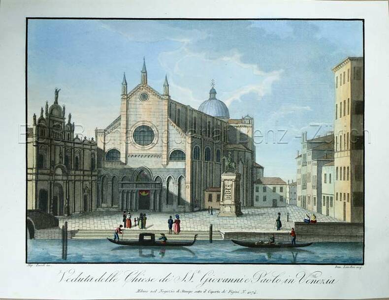
1820ref. 771CGMilano, nel Negozio di Stampe sotto il Coperto de Figini N. 4074, (um 1820). Altkolorierte Aquatina von Landini. Bildgrösse: 15 x 20,7 cm. Blattgrösse: 18,4 x 24 cm.
ref. SLIVCN-9782894887707L'ENVOLEE (CA)
1900Chromolithographed map, scale 1:800,000, in 4 sheets of 49x66cm + broad margins each, dissected and mounted on linen, folding back to 21.5x20.5cm. Very good. - Final edition of the first large-scale general geological map of Algeria, first published in 1881 as "Carte géologique provisoire"by Pomel and Pouyanne.
1634ref. 629361 carte rehaussée en couleurs sous cadre vitré format 22 x 18,5 cm, gravure format (à vue) 19,5 x 14,5 cm, s.d. [ circa 1634 ]
1889Outer dimensions: 10.75" x 14.5". A fascinating and informative graphical presentation of the vital economic statistics of the world's nations in 1889. Offers a stunning contrast to the economic power displayed today by the nations of Asia. Suitable for mounting on the wall of any far-sighted investment professional. Clean and unmarked with light wear. A quality vintage copy. Book
1811Carta storico-geografica tratta dal Recueil de cartes sur la géographie ancienne et moderne, à l'usage des élèves de l'Ecole Royale Militaire de Saint-Cyr, stampatp a Parigi e pubblicato in varie edizioni tra il 1806 e il 1825. Charles François Delamarche (1740 – 1817) è stato un geografo e cartografo francese. Fu uno dei più importanti geografi e cartografi francesi della seconda metà del Settecento. Successore di Nicolas Sanson (1600-1667), Robert de Vaugondy (1686-1766) e Rigobert Bonne (1727-1794), ne ristampò gli atlanti. Si dedicò all'insegnamento della geografia. Tra le sue opere, oltre alle carte e ai globi, va ricordato un trattato sull'uso della sfera, dei globi celesti e dei terrestri (Traité de la sphère et de l'usage des globes, 1790), in cui egli illustra, oltre al sistema tolemaico, anche quello copernicano, enumerando inoltre tutte le costellazioni antiche e moderne. Suo figlio Félix ne continuò l'opera. Charles François Delamarche acquisì la collezione di Didier Robert de Vaugondy nel 1778, dopo aver collaborato con lui nell'edizione di diversi atlanti. Acquaforte, impressa su carta vergata coeva, coloritura coeva dei contorni, in ottimo stato di conservazione. Historical-geographical map taken from the Recueil de cartes sur la géographie ancienne et moderne, à l'usage des élèves de l'Ecole Royale Militaire de Saint-Cyr, printed in Paris and published in several editions between 1806 and 1825. Charles-François Delamarche (August 1740 – 31 October 1817) was a French geographer and mapmaker. One of the most important French geographers and mapmakers of the second half of the eighteenth century. Successor to Nicolas Sanson (1600 – 1667), Robert de Vaugondy (1686 – 1766), and Rigobert Bonne (1727 – 1794), whose atlases he reprinted. Also taught geography. In addition to maps and globes, his works include a treatise on the use of the sphere and celestial and terrestrial globes. In the treatise, he illustrates both the Ptolemaic and Copernican systems, as well as listing all the ancient and modern constellations. His son Félix Delamarche continued his work. Charles François Delamarche acquired Didier Robert de Vaugondy's collection in 1778, after having collaborated with him in the edition of atlases. Etching, printed on contemporary laid paper, contemporary outline coloring, in excellent condition.
1876Carte entoilée en couleurs sous chemise cartonnée, au format 94 x 69.5 cm, Auguste Logerot, Paris, 1876. Rappel du titre complet : Carte Routière de la France à l'usage des Voyageurs. Nouvelle Carte Physique et Routière de la France, indiquant toutes les routes de poste, impériales et départementales, avec les distances comptées en kilomètre d'un lieu à un autre, les chemins de fer exécutés et en construction, ainsi que les canaux navigables et les principales rivières. Belle carte de France en couleurs (qq. anciennes traces de crayon de couleurs soulignant la frontière du Rhin). Français
1861Dressée et gravée par Ch. Gavard, 1 carte coloriée format 62,5 x 88,5 cm, Chez A. Bes et F. Dubreuil, Paris, 1861 Jolie carte encadrée de 20 vignettes. Etat satisfaisant (qq. mouill. et petites fentes en pliures) Français
18611 carte dépliante en couleurs, format 62 x 89 cm, Chez A. Bes et F. Dubreuil, Paris, 1861 Charmante carte lithographiée en couleurs de Paris au temps du baron Haussmann. Bon état (minimes usures et fentes en plis, cachet de colportage au verso). Français
1744Par et Chez le Sr. Le Rouge, Ingr. Géographe du Roy, carte au format 58 x 80, frontières rehaussées en couleur, Paris, rue des grands Augustins vis à vis le Panier Fleury, 1744 Jolie carte de la Champagne établie par Le Rouge et rehaussée en couleurs (très grands marges en queue et tête, accrocs en marge sans atteinte à la carte, une mouill. en marge, deux petites mouill. discrètes sur la carte). Français
1908ref. 59450Carte politique et économique publiée par la Mission brésilienne d'Expansion économique, échelle au 1 : 5 000 000, 1 carte format 83,5 x 90 cm, Aillaud & Cie, s.d. [ circa 1908 ]
1908Carte politique et économique publiée par la Mission brésilienne d'Expansion économique, échelle au 1 : 5 000 000, 1 carte format 83,5 x 90 cm, Aillaud & Cie, s.d. [ circa 1908 ] Belle carte politique et économique du Brésil à l'aube de la Première Guerre Mondiale. Bon état (qq. très petits frott., très bon état par ailleurs). Français
1834ref. 163201834 21 sections montées sur toile et pliées formant une carte de 630 x 940 mm. P. 1834
ref. DADAX0198846037New unknown
2005ref. Q-159775000XNational Geographic Society Maps 2005-05-01. spiral_bound. New. In shrink wrap. Looks like an interesting title! National Geographic Society Maps unknown
ref. DADAX0415922216New unknown
ref. G088130591XI5N00Thomas Brothers Maps. Unbound. Acceptable. Readable copy. Pages may have considerable notes/highlighting. ~ ThriftBooks: Read More Spend Less.Dust jacket quality is not guaranteed. Thomas Brothers Maps unknown
1997ref. G0881308889I4N00Thomas Brothers Maps 1997. Paperback. Very Good. Disclaimer:May have limited writing in cover pages. Pages are unmarked. ~ ThriftBooks: Read More Spend Less.Dust jacket quality is not guaranteed. Thomas Brothers Maps paperback
2000ref. G1581741294I5N00Thomas Brothers Maps 2000. Unknown. Acceptable. Readable copy. Pages may have considerable notes/highlighting. ~ ThriftBooks: Read More Spend Less.Dust jacket quality is not guaranteed. Thomas Brothers Maps unknown
1938ref. 56963Fresno CA: City Planning Commission 1938. Oblong folio. 13.5 x 9.25 in. 17 blueprint maps variously numbered. w/ first map as the Key Map for the remainders. Stapled at gutter margin w/ protective green-tinted back softcover folded to provide reinforcement at spine from the library of George Reed Volker 1925-2018 former World War II pilot and urban planner in California New York and Washington State. First editions of these exceedingly scarce land use district zoning maps drawn up in 1938 after the passage of the 1937 Housing Act which unfortunately upended much of the spending not only by the WPA but also required any federal money to spent in “blighted” areas. These detailed maps show major streets demarcate singe family housing multi-family housing manufacturing and commercial bases for the community. Eventually the Public Housing which was built in Fresno during World War II began in West Fresno or “Chinatown first with the Sequoia Courts and later the Sierra Plaza followed by others. No copies located in Worldcat; See: Bibliography of Research Projects Reports W.P.A. Technical Series Research and Records Projects Bibliography No. 1 Feb. 2 1940 p. 53 Zoning Ordinance. City Planning Commission, paperback
ref. 66643Yale University Athletic Association. Good. 160pp. Thin quarto 31 cm The front wrap is detached but present. The rear wrap is absent. Two small closed tears to the fore-edge of the front wrap. Scarce. Cover art by Utah artist John Held Jr. Utah Artist John Held Jr. 1889-1958 was a prominent illustrator of the 1920s and 1930s. He began by drawing sports and political drawings for The Salt Lake Tribune when he was just 16 years old. Held moved to New York City in 1910 where he went on to gain notoriety for his drawings in the popular magazines "Life" "The New Yorker" "Vanity Fair" "Judge" and "College Humor." His work epitomized the Jazz Age. He is most recognized for creating the short-haired "flapper." The cover of this publication features one of Held's maps. Held's maps illustrate the diversity of his art while at the same time serving to demonstrate Held's interpretation of various notable places and things. Kori Alexander writes in his article entitled Relevant Magic in the Art of John Held Jr. "While it was Held's caricatures of the young college chaps and flapper girls that earned him public notoriety it was his linoleum cuts and pen and ink maps that fortified his legitimacy as a social commentator." Virginia Commonwealth University website. Yale University Athletic Association unknown