12.210 resultados
1839ref. 11981Paris Ledoyen s.d. [1839] in-18 br., couv. impr
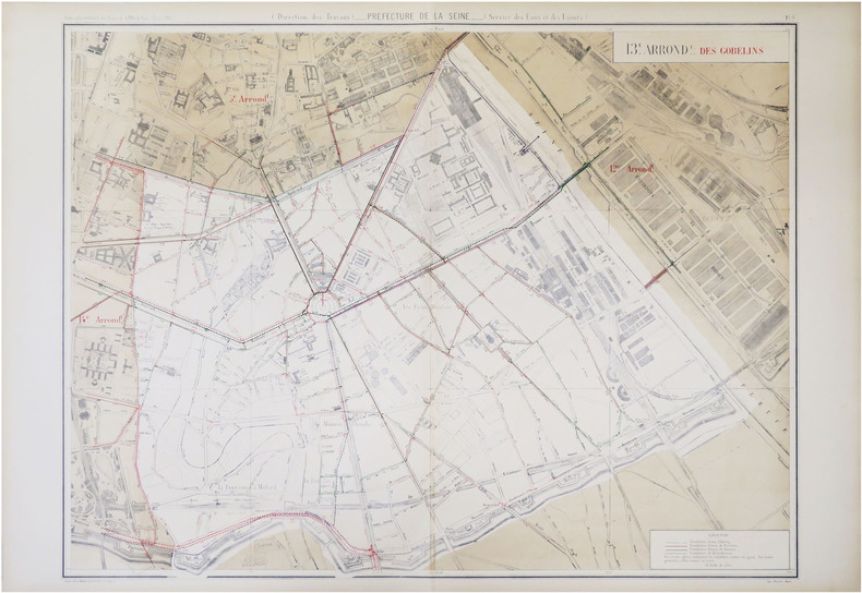
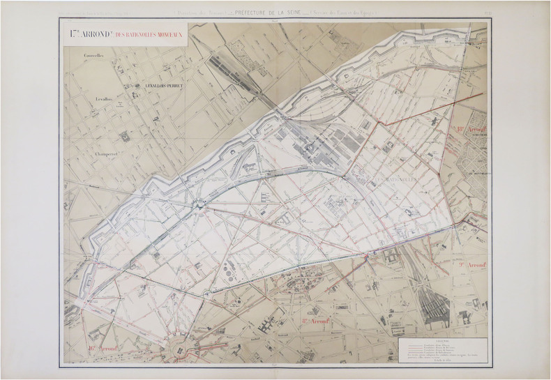
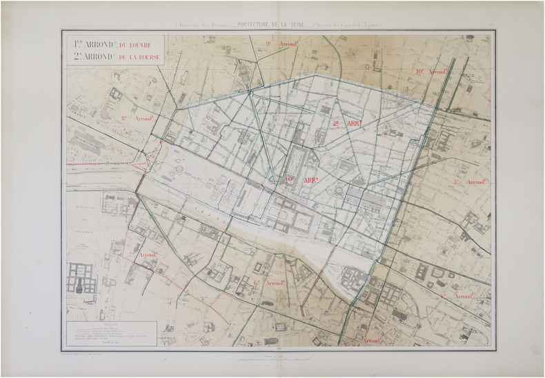
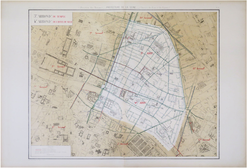
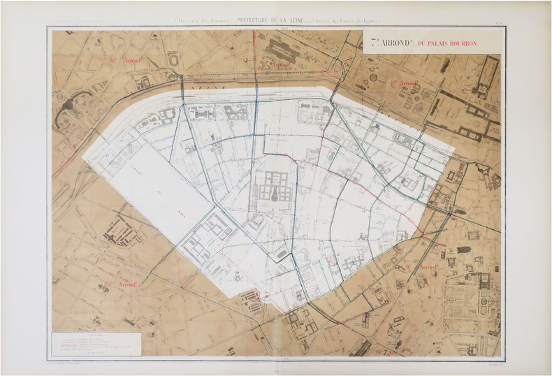
1885ref. LBW-8822Paris, 1883 [1885]. 630 x 803 mm.
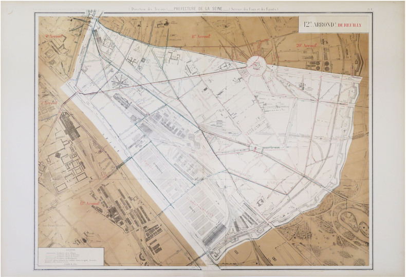
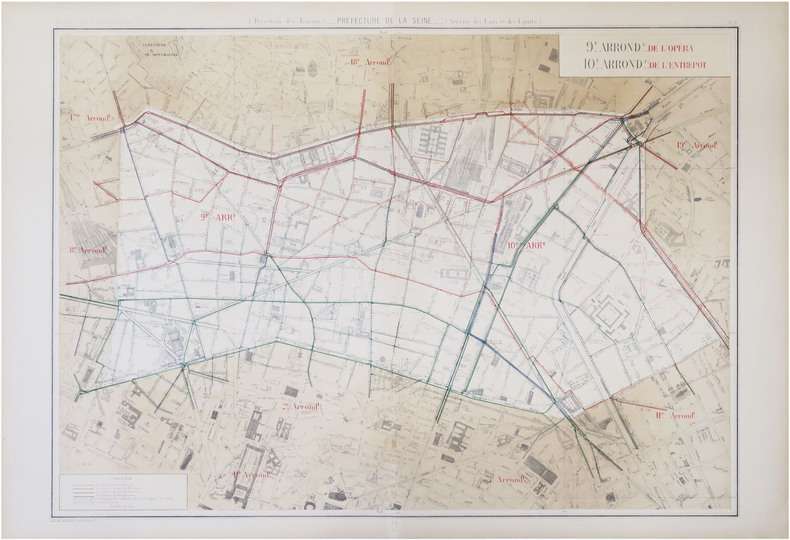
1885ref. LBW-8823Paris, 1883 [1885]. 635 x 822 mm.
1885ref. LBW-8827Paris, 1883 [1885]. 626 x 759 mm.
1885ref. LBW-8772Paris, 1883 [1885]. 592 x 752 mm.
1885ref. LBW-8809Paris, 1883 [1885]. 605 x 746 mm.
1885ref. LBW-8752Paris, 1883 [1885]. 605 x 800 mm.
1885ref. LBW-8788Paris, 1883 [1885]. 615 x 833 mm.
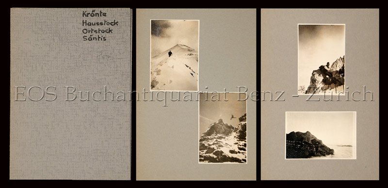
1937ref. 747CG1937. 19 Fotografien, montiert auf Halbkarton. Format: ca. 8 x 6 u. 6 x 8 cm. + Wichtig: Für unsere Kunden in der EU erfolgt der Versand alle 14 Tage verzollt ab Deutschland / Postbank-Konto in Deutschland vorhanden +, Mappe und Bilder
ref. LBW027caNuremberg circa 1720 315 x 397 mm.
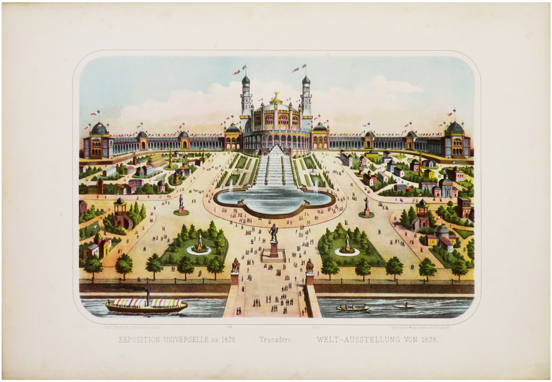
1878ref. LBW-6761Paris, Fr. Wentzel, 1878. 275 x 386 mm.
1895ref. LBW-51661895. 852 x 583 mm.
1812ref. 31053London, Cadell & Davies, 1812. 77,5x56 cm. Kobberstukket kort over Danmark i original konturkolorering. Island i lille format indsat i øverste venstre hjørne.
1781ref. 31042(Venezia), 1781. 41,5x31,5 cm. Kobberstukket Danmarkskort med stor håndkoloreret kartouche visende landsdele med træer og bygninger. I samtidig håndkolortereing. I kraftig passe-partout.
1665ref. 31608Frankfurt, ca. 1665. 27x44 cm. Kobberstukket kort over Rommeriget fra Danmark og England i Nord til og med det nordlige Afrika og Ægypten i syd. I samtidig håndkolorering.
1873ref. 49323Gota, Justus Perthes, 1873. Large 8vo. Orig. hcalf, but nicely rebacked with buckram. Double-page title-page with ""Table des Matiéres"" and 34 double-page engraved maps with outline-colouring. 8Numb. 1-20 + a,b,c numb). Maps clean, some brownspots seen on verso of maps.
1810ref. 56906Milano, Chez Bettalli, (ca. 1810). (56 x 84 cm.). Large engraved plan of Cadix and surroundings, sectioned in 8 and mounted on linen. Handcoloured. Gravé en Milan par Louis Rados. Some faint scattered brownspots.
1800ref. 25256(Paris, u.år ca 1800). 33,5 x 44 cm. Kobberstukket Danmarkskort, frisk velbevaret og konturkoloreret. Brede marginer. (P.F. Tardieu sculpsit - P.J. Valet scripsit).
1703ref. 53195(Stockholm, 1703). (33 x 42 cm.). Kobberstukket kort over Tempelgården i perspektiv. En ganske lille reparation nederste i midterfolden. I passpartou.
1890ref. 36348Gotha, Justus Perthes, o.J. (Ca. 1890). Small folio. (33x22 cm.). Orig. full cloth, gilt lettering with title on frontcover. Small tears to backstrip, edges with light wear. 23 pp. and Africa-map 100x85,5 cm. coloured and folded, mounted on cloth. The map in fine condition.
1858ref. 46631Gotha, Julius Perthes, 1858. 4to. Contemp, hcalf. Gilt spine. A small stamp to titlepage. VIII,596 pp. and 20, partly folded, lithographed maps and plans. Text as well as maps fine and clean.
1953ref. 49146London, Phoenix House Limited, (1953-54). Folio. 4 orig. hcloth, all in orig. slicase. Fine and clean. Text and fine facsimile-maps in colour.
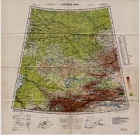
1942ref. 5332Washington D.C.: Army Map Service U.S. Army 1942. Second Edition. Loose sheet. Very Good. Full color map measures 29 x 29 inches. With a list of authorities i.e. other maps consulted in the creation of this map. Glossary. Index to boundaries. Folds as issued and with light soiling. A bright copy. First published 1931 by the War Office this edition is labeled "For Use by War and Navy Department Agencies Only. Not for Sale or Distribution." A vital map published the year 1942 the Japanese invaded Burma and closed off the Allies main supply route the Burma Road. Having already controlled littoral China supplying inland Chinese forces and the Chinese population became increasingly fraught. The region covered extends westward to USSR southward to Northern India and eastward to Mongolia. From the collection of Asian books and maps formed by Albert Ravenholt. On verso Ravenholt has written "Central Asia as far as E. of Tihwa. Army Map Service U.S. Army unknown
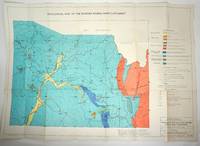
1960ref. 29317Sydney: Dept. of Mines NSW 1960. First printing. Maps. Overall very good condition. 21 loose folding maps of mining in New South Wales. Various sizes in the original stiff paper titled wrapper. Titled 'Maps for Technical Reports Volume 8 1960' on the spine in black. The "Folder of maps accompanies v. 8 1960 other volumes have maps in back pockets." Maps include: Geological Map of the Pike Creek Dam Site; Gold Occurrence in Portions 72 and 78 Parish Tomalla County Hawes; Sample Positions of Quartz Veins in Pportions 72 and 78 Parish Tomalla County Hawes; Plan of the Emu Creek Mine Area; Emu Creek Mine Inset "A"; Emu Creek Mining Syndicate Damsite; Mount Copper Area - Rockley; Plan of "The Mount" Copper Mine showing Rock Type; DLA 950 Sara River; Sections Looking Upstream Across Sara River on DLA950; Kopi Hollow Gypsum Deposit; Locality Map. Extractive Industries City of the Blue Mountains; Lower MacLeay River District; Wells of the Lower MacLeay River District; Conductive Map Lower MacLeay River District; Rainfall Map of the Wollombi Brook Catchment; Map of Wollombi Brook Warkworht-Broke Section; General Geology of the Wollombi Brook; General Geology of the Wollombi Brook; Geological Survey of the Border Rivers Inner Catchment. Maps in excellent condition on thick paper varied sizes 37.25 x 26.5" 26 x 18" 18 x 13" 13 x 9" in tan stiff paper folder torn. Listed in one of Libraries Australia ID 55570014 127080025 4104725 139998138 154863371. Dept. of Mines NSW unknown
1919ref. 061262New York: Frederick A. Stokes Co. 1919. Book. Near Fine. Hardcover. 1st Edition. 12mo - over 6¾" - 7¾" tall. Blue cloth spine panel lettered in orange color front and back cover pastedown illus. Text block edges typically somewhat tanned with minor loss along top edge/corner of cover pastedown otherwise only slight wear. Color illus. dust jacket shows area of loss along top front edge minor loss to corners several closed tears and rubbed joints/folds now in mylar. xii371 pp. illus. Frederick A. Stokes Co. Hardcover