12.245 resultados
1853Carta del Mondo in proiezione mercatoriana, in due fogli, tratta dal Family Atlas. Questa mappa dettagliata presenta una notevole quantità di informazioni. Gli Stati Uniti sono mostrati escludendo il sud-ovest e il Texas. Il Texas è stato un paese indipendente dal 1836 al 1845, ma è mostrato qui come parte del Messico. Il confine settentrionale degli Stati Uniti e del Canada mostra il conteso confine per l'Oregon, scendendo fino a circa il 45° parallelo, che riflette le rivendicazioni britanniche in quella regione. La questione fu finalmente risolta nel 1846 con il trattato dell'Oregon che fissava quel confine al 49° parallelo. La regione artica mostra l'estensione delle conoscenze contemporanee, non notando nulla oltre al "Packed Ice" a nord dello stretto di Bering. L'Africa è mostrata con gran parte del suo interno non mappato - quella regione non è stata mappata a fondo fino all'ultima parte del XIX secolo. La Society for the Diffusion of Useful Knowledge, o SDUK, fu fondata nel 1826 per fornire informazioni scientifiche e di altro tipo alla classe media e ai lavoratori britannici. This delicately detailed map on two separate sheets presents a considerable amount of information. The United States is shown excluding the Southwest and Texas. Texas was an independent country from 1836-1845, but it is shown here as part of Mexico. The northern border of the United States and Canada shows the disputed border for Oregon Territory coming down to about the 45th parallel, which reflects British claims in that region. This was finally solved in 1846 with the Oregon Treaty fixing that border at the 49th parallel. The Arctic region shows the extent of contemporary knowledge, noting nothing besides Packed Ice north of the Bering Strait. Africa is shown with much of its interior left unmapped - that region was not mapped thoroughly until the latter part of the 19th century. An attractive an informative map surrounded with a keyboard style border. The Society for the Diffusion of Useful Knowledge, or SDUK, was established in 1826 to provide scientific and other information to the British middle and working classes. The Family Atlas was published by Society for the Diffusion of Useful Knowledge. The SDUK published several editions of its atlas. Dates I have seen quoted are 1829-32, 1840, 1844, and 1846. In 1848 the SDUK ceased to be active, but works which it had commissioned continued to be published.
1795ref. 118021795 toilée, étui. 1 carte pliante, 51 x 74 cms, Berlin, D.F. Sotzmann, 1795,
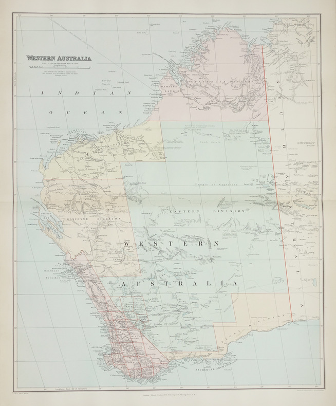
1896ref. LBW-2708London, Edward Stanford, [1896]. 508 x 628 mm.
Gotha, Justus Perthes, s.a. (1902). Gran Folio; 4 h. con portada e Índice, 95 mapas a doble página en color, y 201 pp. de Índice alfabético de nombres. Encuadernación de época en media piel con puntas.
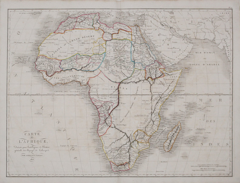
1825ref. LBW-31561821. 405 x 542 mm.
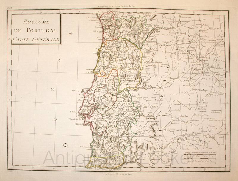
1800ref. KART0161Paris, um 1800. Plattengröße:45x34 cm, Blattgröße: 56,8x43,4 cm; verstärkter Mittelfalz, No. 108 im linken Plattenrand, in der Mitte im unt. Plattenrand: Longitude du Meridien de Paris; sauberes, dekoratives Blatt.
1840ref. LBW-3681[1840]. 212 x 279 mm.
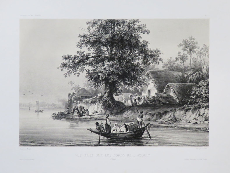
1839ref. 11981Paris Ledoyen s.d. [1839] in-18 br., couv. impr
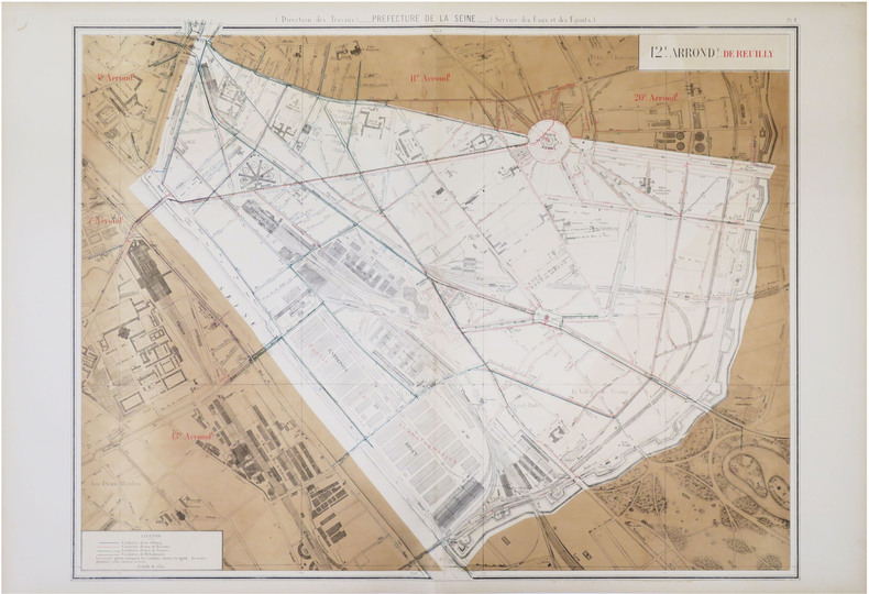
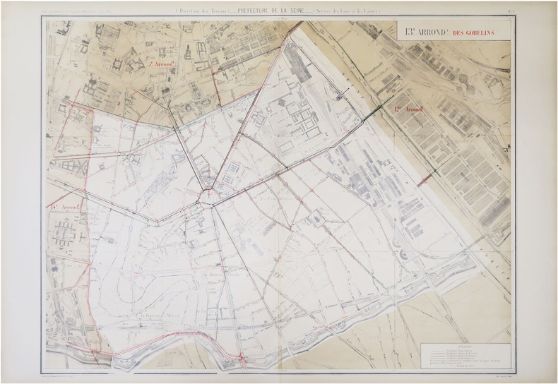
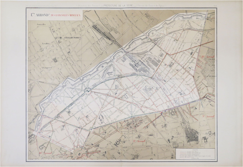
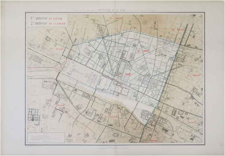
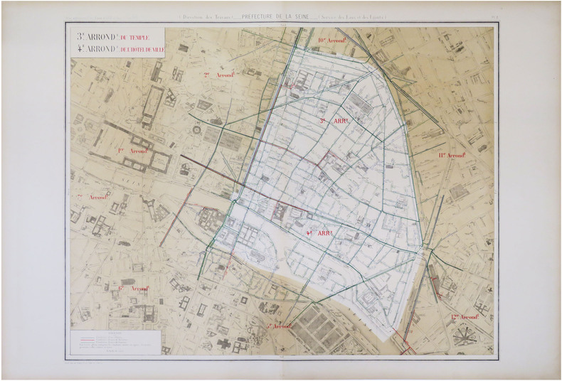
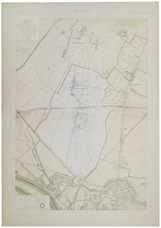
1885ref. LBW-8822Paris, 1883 [1885]. 630 x 803 mm.
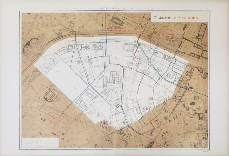
1885ref. LBW-8823Paris, 1883 [1885]. 635 x 822 mm.
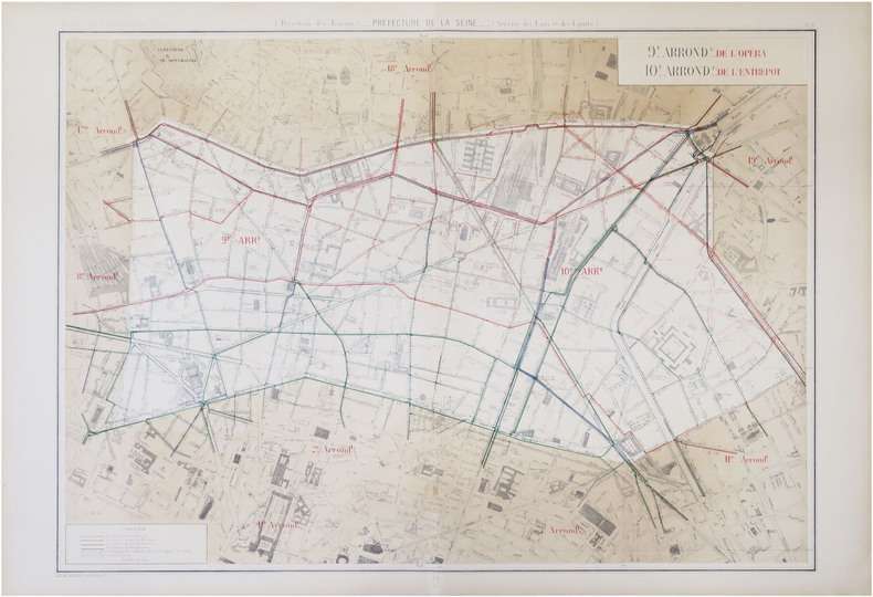
1885ref. LBW-8827Paris, 1883 [1885]. 626 x 759 mm.
1885ref. LBW-8772Paris, 1883 [1885]. 592 x 752 mm.
1885ref. LBW-8809Paris, 1883 [1885]. 605 x 746 mm.
1885ref. LBW-8752Paris, 1883 [1885]. 605 x 800 mm.
1885ref. LBW-8788Paris, 1883 [1885]. 615 x 833 mm.
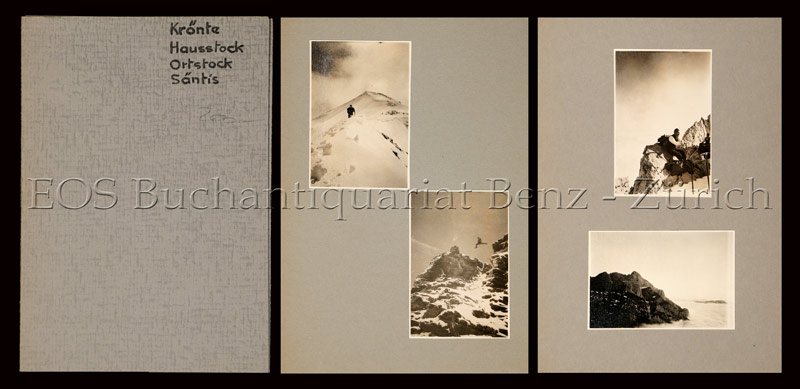
1937ref. 747CG1937. 19 Fotografien, montiert auf Halbkarton. Format: ca. 8 x 6 u. 6 x 8 cm. + Wichtig: Für unsere Kunden in der EU erfolgt der Versand alle 14 Tage verzollt ab Deutschland / Postbank-Konto in Deutschland vorhanden +, Mappe und Bilder
ref. LBW027caNuremberg circa 1720 315 x 397 mm.
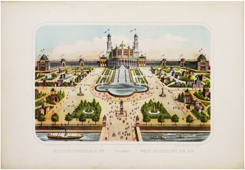
1878ref. LBW-6761Paris, Fr. Wentzel, 1878. 275 x 386 mm.
1895ref. LBW-51661895. 852 x 583 mm.
1812ref. 31053London, Cadell & Davies, 1812. 77,5x56 cm. Kobberstukket kort over Danmark i original konturkolorering. Island i lille format indsat i øverste venstre hjørne.
1781ref. 31042(Venezia), 1781. 41,5x31,5 cm. Kobberstukket Danmarkskort med stor håndkoloreret kartouche visende landsdele med træer og bygninger. I samtidig håndkolortereing. I kraftig passe-partout.
1665ref. 31608Frankfurt, ca. 1665. 27x44 cm. Kobberstukket kort over Rommeriget fra Danmark og England i Nord til og med det nordlige Afrika og Ægypten i syd. I samtidig håndkolorering.
1873ref. 49323Gota, Justus Perthes, 1873. Large 8vo. Orig. hcalf, but nicely rebacked with buckram. Double-page title-page with ""Table des Matiéres"" and 34 double-page engraved maps with outline-colouring. 8Numb. 1-20 + a,b,c numb). Maps clean, some brownspots seen on verso of maps.
1810ref. 56906Milano, Chez Bettalli, (ca. 1810). (56 x 84 cm.). Large engraved plan of Cadix and surroundings, sectioned in 8 and mounted on linen. Handcoloured. Gravé en Milan par Louis Rados. Some faint scattered brownspots.
1800ref. 25256(Paris, u.år ca 1800). 33,5 x 44 cm. Kobberstukket Danmarkskort, frisk velbevaret og konturkoloreret. Brede marginer. (P.F. Tardieu sculpsit - P.J. Valet scripsit).