[INDONESIA - WWII MAP].Biblio.com
12.228 resultados
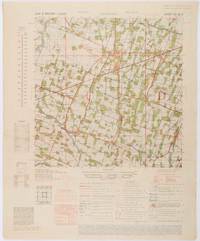
1945ref. 200411Washington D.C.: Army Map Service. First edition - revised AMS4. 1945. Army survey map printed in colour 36.7 x 36.7 cm; 58 x 48 cm sheet conversion graph glossary and administrative index to the inner margin; scale three column legend index to adjoining sheets and notes re grid references and mean declination to the foot; sheet toned a very few edge tears the map in very good condition. Wartime map produced by the US Army Map Service AMS who formed in 1942 and were at the forefront of military mapping campaigns during WWII and the post-war years. The very detailed map shows residency and administrative boundaries transportation ground and water features vegetation cultivation ruins religious sites "Graves; Chinese native" and "Cemetery; heathen Christian" walls hedges populated places built-up areas and buildings with those of iron stone wood and bamboo differentiated by colour; fishponds plantations and much more. . Army Map Service. unknown
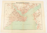
1925ref. 174961Constantinople.: The Anglo-American Book & Newsagency. 1925. Printed folding colour map 36 x 49.2 cm street grids for Stambul Pera Galata and Skutari railways and landing places marked small fold splits affecting the margins only now repaired with archival material two small holes at central folds pin-holes to the four corner some age-toning but in very good condition. A scarce map of the historic peninsula soon after the Republic of Turkey was founded and the capital moved to Ankara. Printed for the tourist market this map is a rare survival. . The Anglo-American Book & Newsagency. unknown
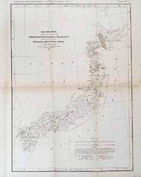
1878ref. 210211Philadelphia.: American Institute of Mining Engineers. Sherman & Co. printers. 1878. Large folding map of Japan showing "some of the more important Mining Districts Coal Fields etc." small fold split without loss tables 67pp. Covers a little scuffed and discoloured overall in very good condition. Scarce offprint separately paginated of a paper included in Volume V of the Transactions of the American Institute of Mining Engineers. The author Henry S. Munroe had been retained by the Japanese Government as Assistant Geologist and Mining Engineer with the Geological Survey of Yesso for the Hokkaidō Colonization Agency. His work laid the foundations for the future coal mining industry in Hokkaido. The report contains two lengthy tables relating to coal production and quality. . American Institute of Mining Engineers. Sherman & Co., printers. unknown
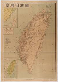
1954ref. 215869地圖出版社. Reprint. 1954. Colour folding map of Taiwan showing all major cities towns and villages railways highways roads rivers and sea routes. Topographical inset map at lower left Taiwan Straits with mainland coast inset map at top left. Each map has its own scale. Text in traditional Chinese characters. Washi repairs along some folds on reverse pin marks at corners evenly browned and a little faded. A nice map of Taiwan in fair condition. 77 x 53.8cm. . 地圖出版社. unknown
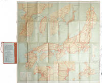
1927ref. 215711Tokyo.: Japanese Government Railways. Circa1927. Large folding colour map 78.5 x 80 cm of Japan and Korea 6 inset maps one of which shows Taiwan scale 1:1640000 for Hondo Shikoku and Kyushu 1:2340000 for Chosen; tipped into the original orange cloth covered case with orange ties text in 31 panels on the verso one a little age-toned a few very small fold splits without loss a very good copy. Attractive tourist map for the English-speaking traveller issued by the Japanese Government Railways with extensive notes for tours and points of interest on the verso short descriptions of cities and sites to visit principal theatres with suggestions for cafes restaurants and department stores. . Japanese Government Railways. hardcover
ref. 3715971Collins. New edition. Spiral-bound. Used; Very Good. Simply Brit welcome to our online used book store where affordability meets great quality. Dive into a world of captivating reads without breaking the bank. We take pride in offering a wide selection of used books from classics to hidden gems ensuring theres something for every literary palate. All orders are shipped within 24 hours and our lightning fast-delivery within 48 hours coupled with our prompt customer service ensures a smooth journey from ordering to delivery. Discover the joy of reading with us your trusted source for affordable books that do not compromise on quality. 06/18/2015 Collins unknown
ref. 2971551Collins. New edition. Spiral-bound. Used; Good. Simply Brit welcome to our online used book store where affordability meets great quality. Dive into a world of captivating reads without breaking the bank. We take pride in offering a wide selection of used books from classics to hidden gems ensuring theres something for every literary palate. All orders are shipped within 24 hours and our lightning fast-delivery within 48 hours coupled with our prompt customer service ensures a smooth journey from ordering to delivery. Discover the joy of reading with us your trusted source for affordable books that do not compromise on quality. 06/18/2015 Collins unknown
ref. 26393Paris, Galerie Escale. 40 doubles cartes au format 15 x 22, avec enveloppe, à l'état de neuf, à deux exceptions près sous emballage d'origine.
ref. 26395Paris, Galerie Escale. 40 doubles cartes au format 15 x 22, avec enveloppe, à l'état de neuf, sous emballage d'origine.
ref. 26396Paris, Galerie Escale. 15 doubles cartes au format 15 x 22, à l'état de neuf.
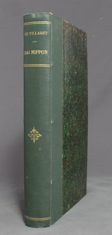
1837ref. 15830Paris, Firmin Didot frères, 1837. In-8 de [4]-384-[2] et 32 pages, demi-veau glacé prune, dos à nerfs orné de filets dorés, tomaison de la collection au dos.
1889ref. 9596Paris, Ch. Delagrave, 1889. In-8 de [2]-X-389 pages, demi-percaline verte, dos orné de fleurons, filets et titre dorés. Tampon de possesseur sur ff. vierge, quelques repères au crayon dans le texte, 2 ff. restaurés.
ref. GOR006836010Paperback. Acceptable. paperback
ref. GOR003246899Paperback. Very Good. paperback
ref. BN92838Veiatlas Norge: Veikart = road maps = Strassenkarten 1:300 000 : bykart = city maps = Stadtplane 1:20 000 Norwegian Edition Unknown Binding Veiatlas Norge: Veikart = road maps = Strassenkarten 1:300 000 : bykart = city maps = Stadtplane 1:20 000 Norwegian Edition Unknown Binding Veiatlas Norge: Veikart = road maps = Strassenkarten 1:300 000 : bykart = city maps = Stadtplane 1:20 000 Norwegian Edition Unknown Binding unknown
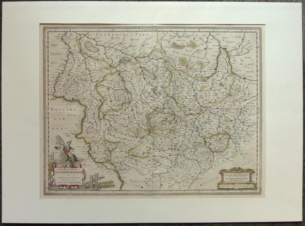
1680ref. 81228Amsterdam, Janssonius, [ca. 1680. 38 x 49 cm.
35,5 x 46 cm. (Blatt: 42 x 52 cm). *Sauber und sehr gut erhalten, sehr schöne Kolorierung.. Landkarten de
38 x 43,5 cm. (Blatt: 45 x 55 cm). *Die Orteliuskarte Württemberg. - In den oberen äußeren Ecken mit gebräuntem Wasserrand (außerhalb der Darstellung), ansonsten sauber und sehr gut erhalten. Landkarten de
ref. 5663Haut-Zambèze,voyage d’exploration en Afrique et retour par les chutes Victoria,le Matébeleland,Le Transvaal,Natal,Le Cap. In 4 demi-chagrin rouge époquetitre,roulette,filets dorés,filets à froid,faux-titre,portait de l’auteur sur papier de chine contrecollé sur vélin fort,sous serpente,titre avec vignette,331 pages,sur papier couché,nombreuses illustrations photos dans le texte et hors-texte,carte dépliante deux Royaumes de Marutse,(Ba-Rotsi)deux cartes dépliantes Paris Hachette & Cie 1898, très bon état
1696ref. 27968(Nürnberg, 1696). 25,5x47 cm. Kobberstukket planche, sammensat af 2 plader, over Karl Gustavs hæropstilling før overgangen over det tilfrosne Lillebælt.
1831ref. 55743(Gotha, Justus Perthes), 1831. Engraved map (34,5 x 43 cm.). Handcoloured in outline. Gestochen von Joh. Carl Ausfeld.
1696(Nürnberg, 1696). 25,5x47 cm. Kobberstukket planche, sammensat af 2 plader, over Karl Gustavs hæropstilling før overgangen over det tilfrosne Lillebælt.
1831(Gotha, Justus Perthes), 1831. Engraved map (34,5 x 43 cm.). Handcoloured in outline. Gestochen von Joh. Carl Ausfeld.
1939ref. 2092902141000906Tokyo Mikuraku 1939. Soft Cover. Fine. The book is in fine condition. Tokyo Mikuraku paperback
1659ref. 122141659 Limites aquarellées. 1 carte gravée sur cuivre, 43 x 53 cms. P. Sanson 1659