WITT (F. De).Livre Rare Book
12.201 resultados
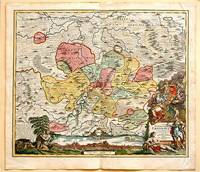
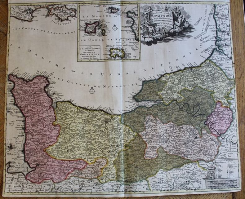
ref. 22401Amsterdam, F. De Witt avec Privilège des Etats d'Hollandeet de Westfrise, s.d. (ca 1700-1708). Carte de 600 x 525 mm. Baillages mis en couleurs et cartouche central avec les îles anglo-normandes Garnezy, Ierzay et Aurigny. En très bon état, sans marges latérales
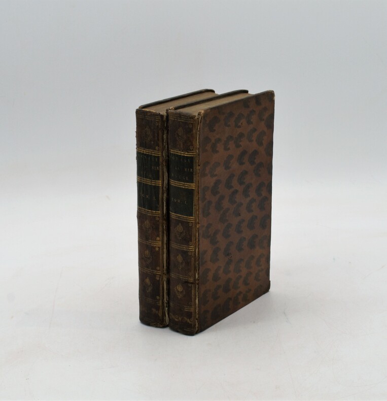
1792ref. PHO-1241Chez Briand, à Paris 1792, 2 tomes en 2 Vol. in-8 (13,5x21,8cm), (2) vj, 440pp. et (2) 483pp., relié plein basane tacheté , dos lisse orné avec pièces de titre et tomaison vertes , ex-libris manuscrit , coiffes et coins usés , charnières fendues , vieilles mouillures avec quelques traces .
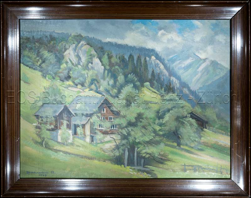
1947ref. 811CG1947. Oel auf Leinwand. Bildausschnitt: 37 x 49 cm. + Wichtig: Für unsere Kunden in der EU erfolgt der Versand alle 14 Tage verzollt ab Deutschland / Postbank-Konto in Deutschland vorhanden +, Abb.
18798vo., folding coloured map on cloth measuring 31.5 x 22.5 inches (approx. 80 x 57 cms) folding in 20 panels to 7 x 4 inches (approx. 18 x 10 cms); tragically wanting front pasted wrapper (rare wrapper intact), some mild age-soiling else a very good, clean copy. Produced specifically for British military staff; the map is overprinted in red denoting the Positions of British Advancing Columns. RARE.
ref. DADAX0387203346New unknown
1920ref. 161936no date. circa1920. Linen backed colour folding map of China insets of Peking and Environs and Hongkong and Canton in lower left corner. 54 x 63.8cm. Table of place names at upper left gives the cities that "By a recent ordinance of the Republic all 'Fu' 'Chow'' and 'Ting' cities have been nominally reduced to the rank of 'Hsien'. The following parallel list gives the 'Fu' cities the names of which have been officially changed together with the new form adapted." Map folds into a red cloth covered case with ribbon ties 19 x 10.3cm. Title and decoration printed in black on upper cover. Trifle foxed on linen backing a little insect damage case in a few small places otherwise a very good clean map. . hardcover
1955ref. 172396No publication details. Circa1955. Chinese black and white military map of Japan based on a map issued by 赤旗報 Shimbun Akahata on 24 June 1953. No scale given inset map of Hokkaido upper left corner legend lower section showing air and navy bases military exercise bases ammunition dump shooting ranges for the air force and navy headquarters of the coast guard etc. Text upper section provides details of the different types of US military bases and infrastructure. Text in traditional Chinese. 25.8 x 35.8cm. . No publication details. unknown
1717ref. 61880Nuremberg.: Johann Baptist Homann. 1717. A beautifully engraved hand coloured map of North East Germany showing the area around Erfurt in detail. In the centre of the map is a small plan of Erfurt which is also shown as a panoramic view at the foot of the map and titled 'St. Petersburg'. An elaborate decorative title cartouche in the lower right corner depicts allegorical figures surrounded by the produce of the land including sheaves of wheat; a beehive; and a cornucopia of fruits. Cherubs holding a coat of arms float up from the scene on the right while on the lower left a centaur sits meditatively beneath a pine tree amongst slaughtered cattle. Physical features of the area are illustrated and farming areas shown by fields which criss-cross across the map. A clear dark impression the work of an outstanding German cartographer who in 1715 was appointed as imperial geographer by Emperor Charles VI. This map also includes "Schwan See" Swan Lake under a town of the same name which has since disappeared. Hand coloured two very minor splits at upper and lower edges on centre fold and not affecting engraved area a handsome map 54 x 61.5 cm. . [Johann Baptist Homann.] unknown
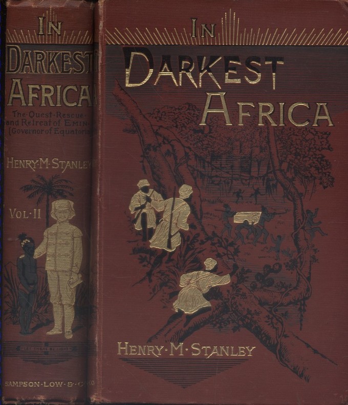
1890ref. 128712Couverture rigide. Reliures toile rouge illustrées. 530 + 472 pages. Quelques rousseurs.
ref. GOR006011771Paperback. Good. paperback
ref. GOR003215507Paperback. Very Good. paperback
1954ref. 058667New York Ny: Jack And Charlie's "Twenty-One" / "21 1954. 1st Edition . Hardcover. Near Fine. 71 Pp. Red Cloth Gilt And Stamped In Blind. #343 Of A Limited Edition Of 1000 Copies. Lightly Used No Fraying Or Stains Gilt Brilliant. Ownership Stamp Of Fred Herrington 1898-1971 A California Lawyer Whose Collection Of Menus Is Held At Uc Davis. Jack And Charlie's "Twenty-One" / "21 hardcover
ref. SONG1599289490Used: Good unknown
ref. S17M-01576Horton Family Maps. Used - Good. Good condition. A copy that has been read but remains intact. May contain markings such as bookplates stamps limited notes and highlighting or a few light stains. Horton Family Maps unknown
1844ref. 63111London: J.&C. Walker 9 Castle Street Published by Longman & Co. ca. 1844. 16mo. 3.5 x 5 in. folding out to 13.25 x 16.5 in. dissected 15-panel hand-coloured steel-engraved map linen-backed w/ 3 leaf folding population and mileage distance chart from Dublin by County mounted on front pastedown. Dark gray-green publisher’s cloth portfolio pocket binding decorative borders in blind gilt lettering stamped on front cover a NF copy. First edition thus of this very scarce dissected pocket map of Ireland published against the backdrop of the full impact of the Great Potato Famine which from 1841-1851 resulted in the diaspora and death of nearly 30% of the Irish population and as reflected in the mileage table mounted with the map the population in 1845 had already dropped from 8.2 million in 1841 to 7.7 million by 1844 and it would plummet further to below 6.5 million by 1851. The bulk of these emigrated to the United States Canada and the United Kingdom resulting in the fact that Ireland’s current population still resides below the high of 1841 and nearly 38 million Irish-Americans claim descent from the successive waves of migration much of which channeled through New York’s Lower East Side and the Bowery in the 19th-Century. John Walker 1787-1873 was a British mapmaker engraver lithographer hydrographer draughtsman and publisher publishing nautical charts and geographical maps with his brothers Charles and Alexander in their firm J.&C. Walker located at 9 Castle Street Holborn from 1841-1847 and moving to 37 Castle St. in 1848 where they remained to 1875. Much of their work was published under the auspices of the Society for the Diffusion of Useful Knowledge or S.D.U.K. Worldcat locates 1 copy Yale. J.&C. Walker, 9 Castle Street, Published by Longman & Co., hardcover
1951ref. AUB-3999Paris, A. Quillet 1951. 4 beaux volumes reliés, reliures demi cuir ornées d'éd., forts in-4, plus de 2000 pages.
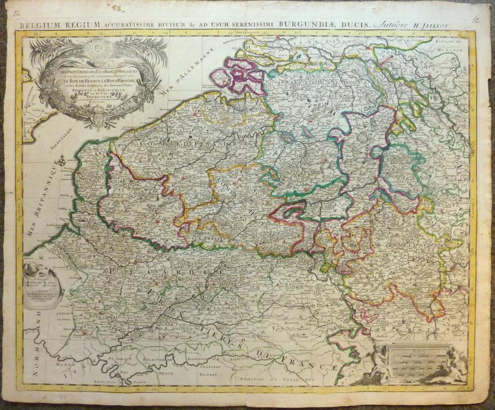
1693ref. 52184Paris, H. Jaillot, 1693. Blattgröße ca. 54 x 65 cm, Bildgröße ca. 48 x 61 cm.
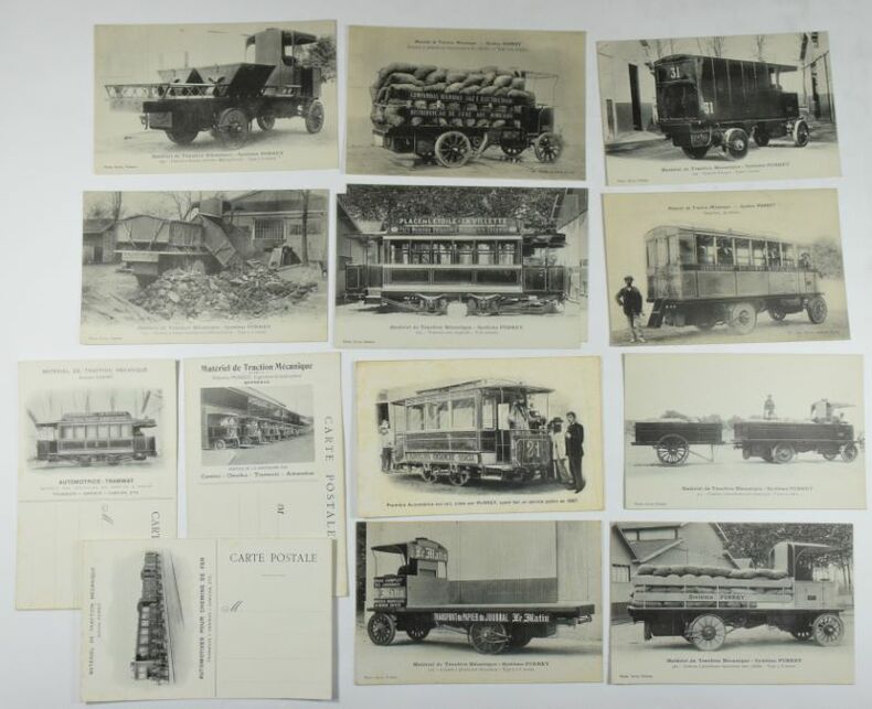
ref. 642914 cartes postales 142 x 90 mm, 11 avec une photo n/b, 3 blanches avec une photo au verso, carte n° 4. : claires rousseurs, très bel ensemble, très bel état.
1733ref. 26471Gouvernement Général de Guienne et Gascogne dédié au Roy, Dressé sur les Mémoires et Nouvelles Observations de Messieurs de l'Accadémie Royalle des Sciences, par son très humble et très Obeissant, très fidel sujet et Serviteur Bernard Antoine Jaillot, Geogr. Ordr. de Sa Majesté, Quay des Grands Augustins, carte au format 100 x 50,5 cm, en deux feuilles jointes, frontières et villes rehaussée à l'aquarelle, Paris, 1733
ref. DADAX1571884777New unknown
ref. SONG2061007317Used: Good unknown
ref. 1597755567-7-1National Geographic Maps. 2013. Acceptable. The item might be beaten up but readable. May contain markings or highlighting as well as stains bent corners or any other major defect but the text is not obscured in any way. National Geographic Maps unknown
ref. 1597755567-11-1National Geographic Maps. 2013. Very Good. It's a well-cared-for item that has seen limited use. The item may show minor signs of wear. All the text is legible with all pages included. It may have slight markings and/or highlighting. National Geographic Maps unknown
ref. SONG0836892054Used: Good unknown
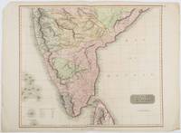
1816ref. 185242London.: Thomson. 1816. Engraved map with full handcolour 50.5 x 59.7 cms ; 53.9 x 73.8 cms sheet central fold a few minor edge tears one intruding into the top border the map unscathed marginal edgewear two corners with some loss but the map in very good crisp condition. An elegant map with great detail prepared for John Thomson's influential "New General Atlas" 1814-1821. Showing India from 20 degrees to 7 degrees north of the equator and includes the northern half of Ceylon with territorial interests attractively coloured. . Thomson. unknown