CHANLAIRE (Pierre-Grégoire) & MENTELLE (Edmé).Livre Rare Book

12.070 resultados
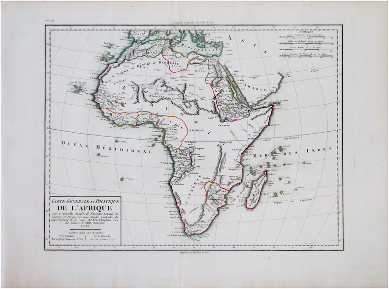
1798ref. LBW-7931[Paris, P.G. Chanlaire et E. Mentelle, An six de la République - 1798]. En quatre feuilles pouvant être jointes pour former une carte de 639 x 848 mm.
1806ref. LBW-7749Paris, P.G. Chanlaire et Veuve Dumez, [1806]. 512 x 585 mm.
1806ref. LBW-7741Paris, P.G. Chanlaire et Veuve Dumez, [1806]. 511 x 581 mm.
1793ref. LBW-7739Paris, Dumez, [An II - 1793]. 511 x 636 mm.
1818ref. LBW-7751Paris, J.B. Delaval, [1818]. 515 x 589 mm.
1806ref. LBW-7734Paris, P.G. Chanlaire et Veuve Dumez, [1806]. 541 x 591 mm.
1806ref. LBW-7745Paris, P.G. Chanlaire et Veuve Dumez, [1806]. 508 x 579 mm.
1806ref. LBW-7738Paris, P.G. Chanlaire et Veuve Dumez, [1806]. 511 x 625 mm.
1806ref. LBW-7733Paris, P.G. Chanlaire et Veuve Dumez, [1806]. 506 x 574 mm.
1806ref. LBW-7750Paris, P.G. Chanlaire et Veuve Dumez, [1806]. 621 x 511 mm.
1798ref. LBW-7947[Paris, P.G. Chanlaire et E. Mentelle, An six de la République - 1798]. En quatre feuilles pouvant être jointes pour former une carte de 640 x 841 mm.
1806ref. LBW-7699Paris, P.G. Chanlaire et Veuve Dumez, [1806]. 500 x 687 mm.
1798ref. LBW-7903[Paris, P.G. Chanlaire et E. Mentelle, An six de la République - 1798]. 335 x 434 mm, sur papier bleuté.
1806ref. LBW-7748Paris, P.G. Chanlaire et Veuve Dumez, [1806]. 510 x 580 mm.
1798ref. LBW-7950[Paris, P.G. Chanlaire et E. Mentelle, An six de la République - 1798]. 330 x 427 mm.
1818ref. LBW-7744Paris, P.G. Chanlaire, [1818]. 515 x 589 mm.
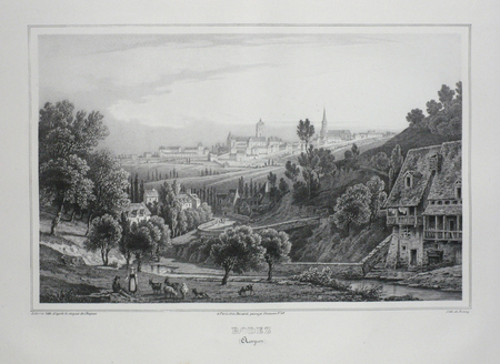
ref. LBW03d5eParis Benard circa 1850 217 x 298 mm.
1708ref. LBW-3530[Amsterdam, 1708]. 354 x 462 mm.
1719Mappa del mondo a doppio emisfero che presenta l'isola della California e un passaggio a nord-ovest. Date le picocle dimensioni, dono presenti solo pochi dettagli interni e solo le principali nazioni nominate. Dal punto di vista dell'innovazione cartografica Ter. de Jesso appare al largo della costa orientale dell'Asia, l'Australia è incompleta e ancora attaccata alla Nuova Guinea, appare solo la costa occidentale della Nuova Zelanda, e c'è ancora una costa parziale per Terres Australes. Il cartiglio del titolo decorativo e il testo in francese circondano la mappa.Opera tratta dal Le Nouveau et Curieux Atlas Geographique et Historique... di Jacques Chiquet.Acquaforte su rame, con una bella colorazione a mano, in buone condizioni. This delicately engraved double hemisphere world map features the island of California and a Northwest Passage. There is little interior detail with only major nations named. Ter. de Jesso appears off the east coast of Asia, Australia is incomplete and still attached to New Guinea, only the west coast of New Zealand appears, and there is still a partial coastline for Terres Australes. Decorative title cartouche and French text surrounds the map.From Le Nouveau et Curieux Atlas Geographique et Historique... by Jacques Chiquet.Copperplate, with fine hand colouring, good condition.
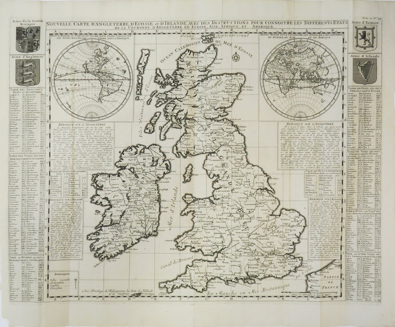
1720ref. LBW-8789[Amsterdam, circa 1720]. 469 x 593 mm.
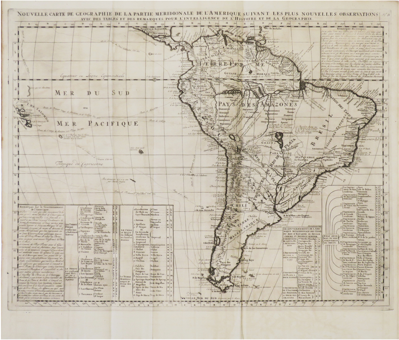
1720ref. LBW-6083[Amsterdam, circa 1720]. 402 x 515 mm.
1624ref. LBW002a9[1624]. 206 x 273 mm.
1888ref. LBW-5014[1888]. 281 x 775 mm.
1785ref. LBW-28591785. 230 x 499 mm.