SANSON d'ABBEVILLE (Nicolas).Livre Rare Book
12.067 resultados
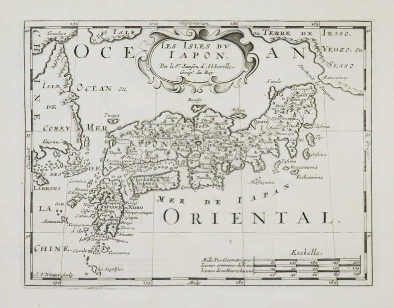
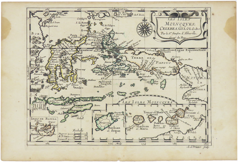
1680ref. LBW-5478[Paris, circa 1680]. 187 x 245 mm.
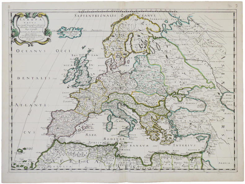
1703ref. LBW02524Paris chez l'autheur 1703 417 x 560 mm.
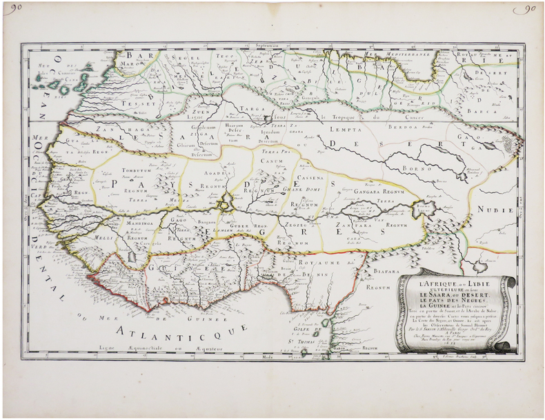
1650ref. LBW-4944Paris, chez l'auteur et chez Pierre Mariette, 1650. 393 x 553 mm.
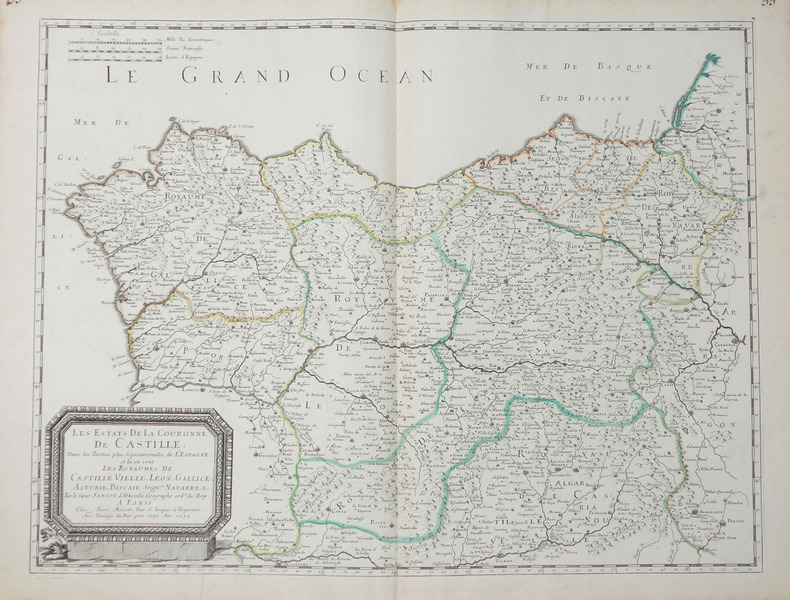
1655ref. LBW-7677Paris, Pierre Mariette, 1655. 342 x 547 mm.
1683ref. LBW-6981683 197 x 269 mm.
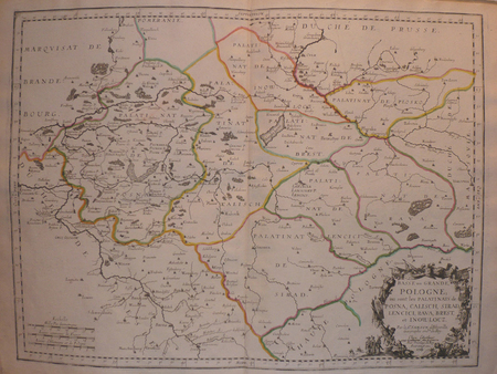
1652ref. LBW-656Paris, Pierre Mariette, 1652. 404 x 533 mm.
1700ref. LBW-4948[1700]. 185 x 239 mm.
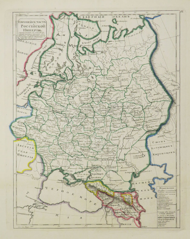
1835ref. LBW-3684[St. Pétersbourg, 1835]. 291 x 231 mm.
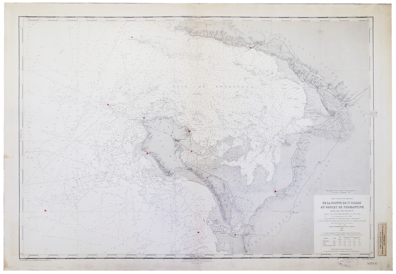
1900ref. LBW-5214Service Hydrographique de la Marine, 1900-1922. 690 x 977 mm.
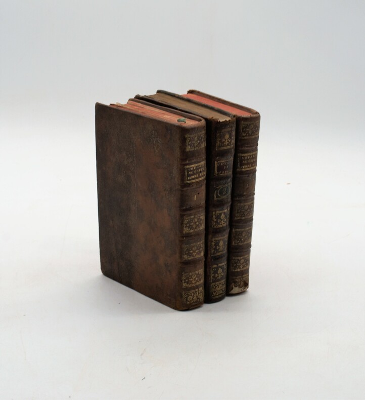
1787ref. PHO-1121À Paris, chez Buisson, 1787, in-8, 3 volumes, XXXII-388pp-366pp-363pp , illustré de 16 gravures (6 en répétition) , relié plein cuir marbré époque , dos à nerf orné avec pièce de titre , dos du tome 2 différent , accident aux coiffes , 1 planche détachée , fente intérieure tome 1.
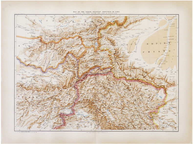
1896ref. LBW-6821London, Edward Stanford, 1896. 470 x 640 mm.
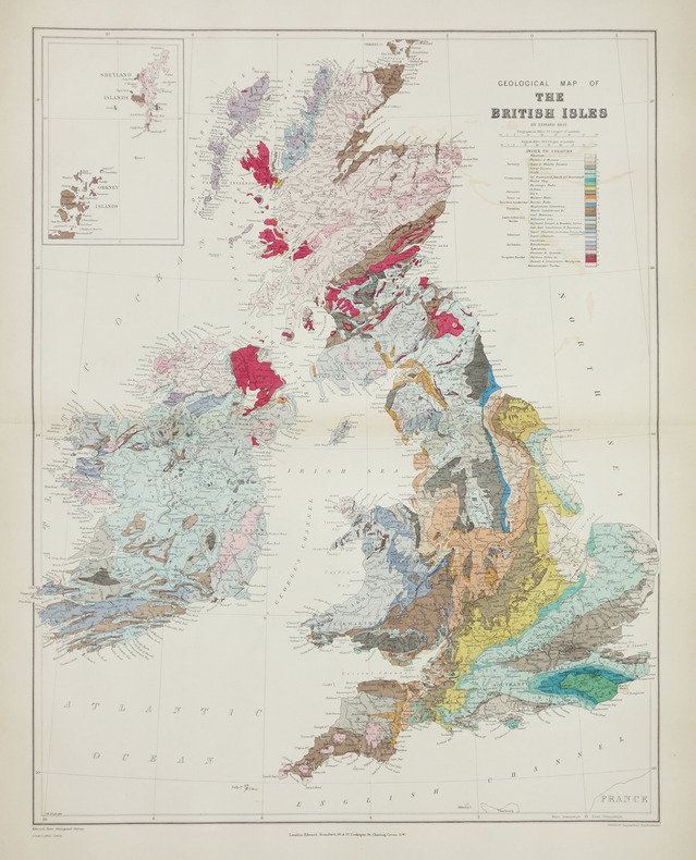
1896ref. LBW-2865London, Edward Stanford, [1896]. 610 x 480 mm.
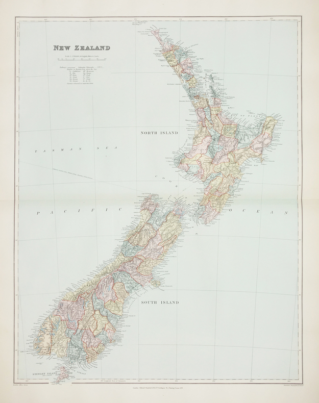
1896ref. LBW-2760London, Edward Stanford, [1896]. 606 x 470 mm.
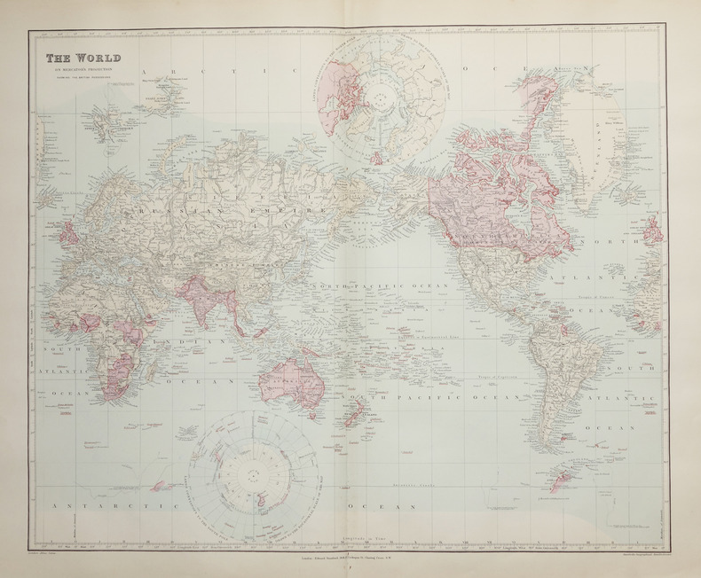
1896ref. LBW-2662London, Edward Stanford, [1896]. 496 x 603 mm.
1940ref. LBW-8578Lausanne, Éditions "Spes", [vers 1940]. Lithographie en couleurs de 365 x 472 mm, montée sur carton, et se pliant en quatre avec une fente pour faciliter le pliage (montage de l'éditeur).
1825ref. LBW-31631821 [1825]. 408 x 544 mm.
1825ref. LBW-31781821 [1825]. 548 x 410 mm.
1825ref. LBW-32261821 [1825]. 256 x 391 mm.
1825ref. LBW-32271821 [1825]. 406 x 542 mm.
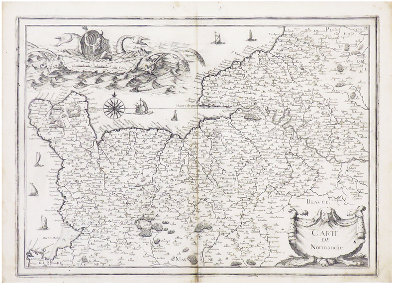
1634ref. LBW-6831[1634]. 364 x 511 mm.
1634ref. LBW-651Paris 1634 222 x 330 mm.
1634ref. LBW-6839[Paris, 1634]. 368 x 520 mm.
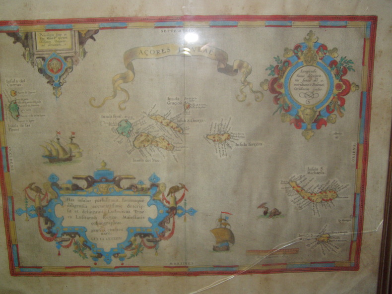
1584ref. 224251584 Orig. copper-engraving. Published by A. Ortelius after to L. Teixeira's map of the Açores. Dated 1584. Coloured. With title in decorative border, 3 ornamental cartouches, 2 ships, sea-monster and "Scala Leucarum". 32,5:46,5 cm (12 3/4 x 18 1/4 inch.) 2,5 x 46,5 cm Van der Krogt, Koeman's Atlantes Neerlandici, Vol. III B, 6350:31; Van den Broecke, Ortelius Atlas Maps, Nr. 24. - Stammt aus einer von fünf lateinischen Ausgaben, die in den Jahren 1595 - 1612 erschienen. Alle tragen das Datum 1584 in der großen Kartusche.A splendid sea chart of the Azores with three scrollwork cartouches; the ocean is decorated with sailing vessels. A fresh example of this scarce sea chart, based on Teixeira's single sheet map of Terceira from 1582, and a later manuscript atlas of the Azores islands. The Azores played a significant role in international sea trade as a victualling stop and shelter for ships sailing into the South Atlantic. In very good condition. The map was first issued in an edition of 100 examples in the Additamentum to the 1583 edition of Ortelius' Theatrum Orbis Terrarum, which is widely referred to as the first modern atlas and a landmark in the history of Western map making. Beginning in 1570, Abraham Ortelius and his successors published (and continuously added to) this monumental work for a period of over 40 years (not including the very rare edition of 1641), with text on the verso in Latin, Italian, German, Dutch, French, Spanish and English.References: Van Den Broecke 24. Meurs p 253-254.
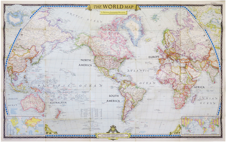
1951ref. LBW-6834Washington, D.C., The National Geographic Magazine, 1951. 0,65 x 1,02 m.
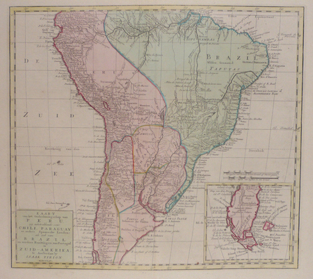
1765ref. LBW02482Amsterdam, 1765. 360 x 398 mm.