[Texas]: [Maps]ABAA
12.067 resultados
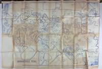
1980ref. 3562N.p. probably Brownsville Tx 1980. Very good. Blue-line map 42 x 62 inches. Uneven toning minor overall wear. A large-format plat map of the Texas border town of Brownsville likely created in the early 1980s. The date is based on the appearance of the Sunrise Mall which opened its doors in 1979 and the name of the airport which was changed in 1983; as such the present map was printed sometime between those two dates. The present map shows the original city parcel as well as many other notable modern developments including the Airport Industrial Park the Fourteenth Street Commercial Plaza and the Amigoland Theme Park the latter of which was never built. The Rio Grande can be seen winding its way through the bottom portion of the map. We locate no other copies of this map anywhere. It was likely produced for local developers and as such is quite rare. An ideal decorative Texas map. unknown books
2008ref. 3278London 2008. Slipcased. as New. Bartholomew John G maps. Used - VG: in very good condition with slipcase Hardcover ISBN 13 9780007801503 ISBN 10 0007801505 The Times Book Group. Illustrated hardback laminated board cover. 460mm x 320mm 18" x 13". 67pp 224pp plates. Colour maps. Heavy item - shipping supplement will apply for overseas. . unknown
1879ref. 150316Couverture rigide. 4 premiers volumes de cette célèbre géographie. Reliures demi-basane brune, à nerfs et à coins. 1011 + 961 + 983 + 977 pages. 20 x 28 cm. Peu de rousseurs.
1912ref. 107028BBBerlin, Otto v. Holten, 1912. 4°. [2] w. Bl., [7] Bl., 199 S., [1] Bl.; [2] w. Bl., [5] Bl., 183 S., [1] Bl. mit Titel in Rot und Schwarz und 113 teils montierten Abbildungen und 1 Holzschnitt, 6 Radierungen, 12 Lithographien und 1 Prägedruck nach Hans Baluschek, Franz v. Bayros, Ludwig Burger, Daniel Chodowiecki, Fidus, Max Klinger, Max Liebermann, Adolph Menzel, Max Slevogt u. a. Orig.-Halbpergamentbände mit goldgepr. Rückentiteln und Rückenvergoldung (Entwurf: E. Doepler). 2 Bände.
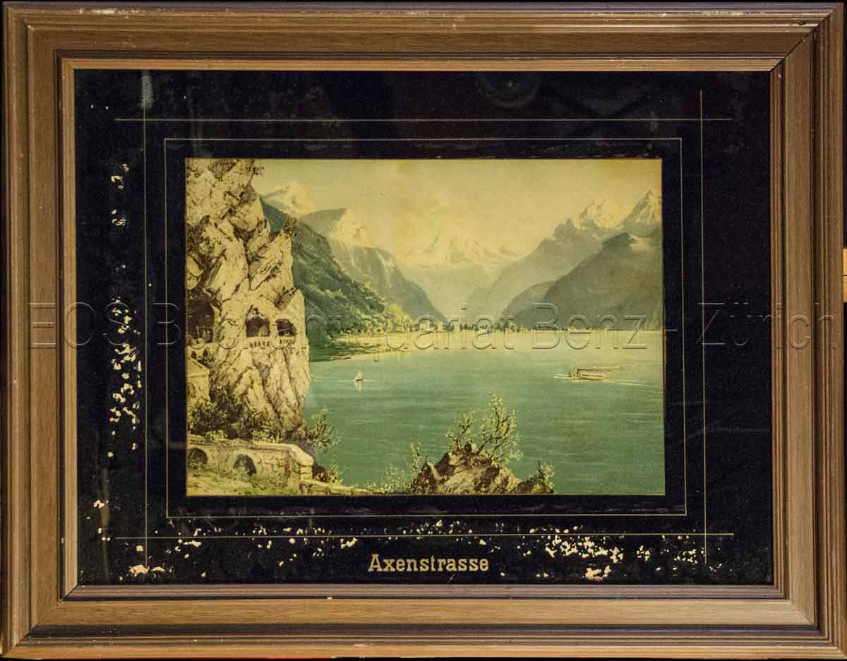
1860ref. 823CG(um 1860). Chromolithographie hinter Glas. Bildausschnitt: 24 x 33,5 cm. + Wichtig: Für unsere Kunden in der EU erfolgt der Versand alle 14 Tage verzollt ab Deutschland / Postbank-Konto in Deutschland vorhanden +, Abb.
ref. 79037Paris Ch. Delagrave 1881. Two maps printed in black blue and red 25.7 x 25.6 cm; and 16.5 x 17.4 cm on a single folded sheet 46.7 x 30.3 cm. Original printed wrappers. = Two seldom-seen if not downright rare maps showing the Polar region and Africa indicating where the latest explorations were made thus showing the borderline between areas known and those still unknown in the year 1880. Contained in the Bulletin of the Société de Géographie Paris together with descriptive text. Also included is an account of the disastrous Flatters expedition. Paul Flatters 1832-1881 "was a French soldier who spent a long period as a military administrator in Algeria. He is known as leader of the Flatters expedition an ill-fated attempt to explore the route of a proposed Trans-Saharan railway from Algeria to the Sudan. Almost all members of the expedition were massacred by hostile Tuaregs. The survivors resorted to eating grass and to cannibalism on the long retreat through the desert. After a brief outburst of public indignation the fiasco was forgotten." French Wikipedia. The Polar map is in blue the African map in grey. Short tear at map adhesion point; slight fraying to the uncut wrapper's edges; otherwise very good clean and unmarked. unknown
ref. 295Six volumes in 8 demi-veau glacé fauve,fers dorés en long,titre doré,tranches marbrées,texte sur 2 colonnes. Contient la statistique et la description complète des 86 départements,orné de 740 vignettes et portraits gravés sur acier.de 86 cartes de départements.Par une société de gens de lettres,de géographes et d'artistes.sans la grande carte de France annoncée.Firmin Didot frères éditeur 1838.quelques charnières restaurées.Bon état d'ensemble.
ref. 15894DBo.J. (Friedrich Kühnow, gestorben 1675. Kartograf. oan Blaeu (niederländisch ['jo??n 'bl?u]; deutsch Johannes Blaeu; * 1596 in Alkmaar, Niederlande; ? 28. Dezember 1673 in Amsterdam, Niederlande) war ein niederländischer Kartograf und Kupferstecher. 1654 schuf er den ersten Atlas Schottlands. Sein 1662 erstmals erschienener elfbändiger Atlas Maior gehörte zu den aufwendigsten und teuersten europäischen Atlanten des 17. Jahrhunderts.
49 x 58 cm. Blatt: 52 x 66 cm. Theoretische und pratische Erklärung: in der Unterhalfte zwei Abb. von einer "Quadranten Uhr" und einer "Äquinoctial oder dem Mittel=kreis gleich ebene Universal Uhr" (je 24:24 cm), daruber der umfangreiche gestochene Erläuterungstext (in Latein). Zwischen den Abb. und dem Text in 2 Kolumnen sind Abb. von Instrumenten. - Unterrand knapp beschnitten, sonst breitrandig. Sauber und sehr gut erhalten. Graphiken de
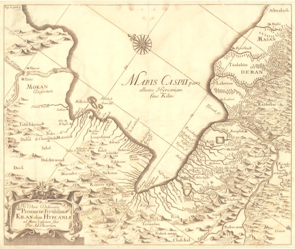
1659ref. 78800O. O. (Paris), (Jean Dupuis), ( 1659). Kupferstich. Darstellung ca. 28 x 33 cm, Blattmaß 31 x 42 cm. Feinkartonpassepartout.
1780ref. 41637Augsburg, G.B. Probst, ca. 1780. Engraved and hand coloured vue d'optique. 30 x 40 cm. Mirrored titel with small tear not affecting text. Colours slightly faded, margins a little foxed.
1780Augsburg, G.B. Probst, ca. 1780. Engraved and hand coloured vue d'optique. 30 x 40 cm. Mirrored titel with small tear not affecting text. Colours slightly faded, margins a little foxed.
1978ref. 2080502106916389Not Available 1978. Soft Cover. Fine. The book is in fine condition. Not Available paperback
1802ref. 1610270044imprint of Samuel Etheridge 1802-01-01. Leather Bound. Good. Bound in contemporary full calf. Gilt ruled red leather spine label. Wear rubbing to cover. Solid binding. 712 pages 18 pages of plates : illustrations 17 folded maps ; 23 cm. Intended as the second volume to the American Gazetteer. Scattered foxing. imprint of Samuel Etheridge hardcover
2020New English Original decorative cloth bdg. Folio. (33 x 33 cm). In English and Turkish.155 p., color and b/w ills., maps (some folded). Some of plans - maps and their makers from the contents of book: "The earliest city planning sketches displaying the then status of the city are the plans drawn by Livio Amedeo Missir located at the Santa Maria Church.", The well-known geographer Jean Denis barbie de Bocage's plan, In 1830s, British Navy Officer's plans, Luigi Storari's plan, Lamec Saad's plan, Charles Goad's plans, Karl Baedeker's plans, and very important maps of Izmir (Smyrna - Smyrne) city. 500 copies were printed.
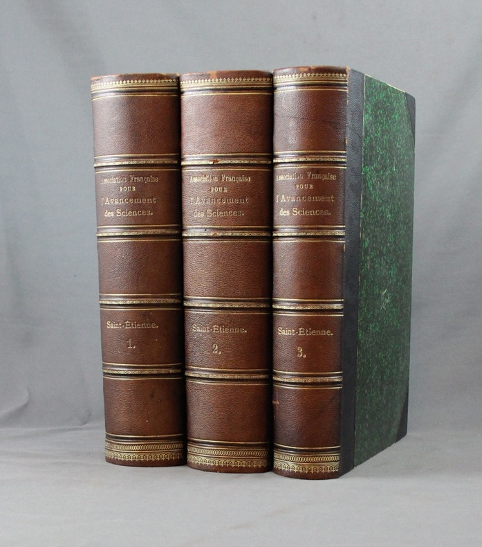
1897ref. 2546Saint-Etienne, Société de l’impr. Théolier - J. Thomas & Cie, 1897. 3 vol. in-8 de XV, 512-[2] + 536 + 426-[6] pages. Demi-chagrin noir à coins, dos à nerfs ornés de filets et roulettes dorés, tranches rouges. Dos légèrement passés, quelques griffures aux coiffes.
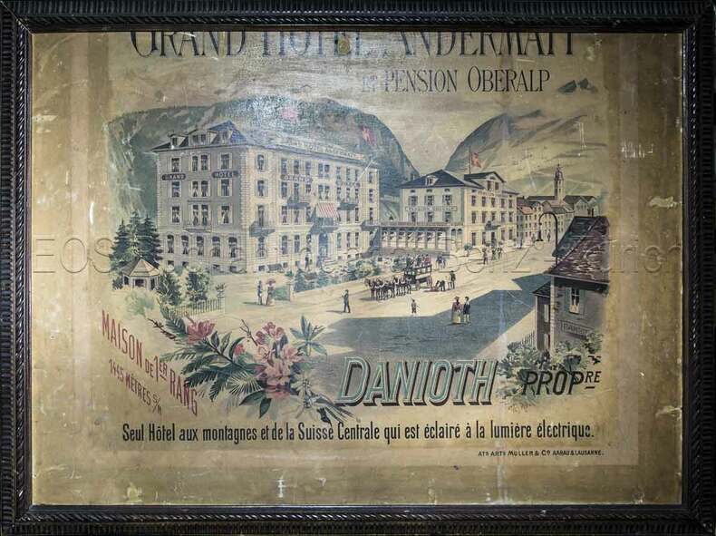
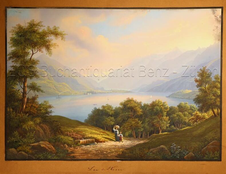
1890ref. 828CGAargau & Lausanne, Ats. Arts. Müller & Co., (um 1890). Farbige Lithografie. Blattgrösse: 60 x 80 cm.
ref. 139441aafEdité par Istitituto Geografico Militare,, Firenze, Stampa 1916, in-8vo, 49 gef. Karten (incomplet), zus. in 2 Stoffumschläge
1835ref. 628DGO.O., um 1835. Altkolorierte Aquatinta. Bildgrösse: 19,8 x 27,8 cm.
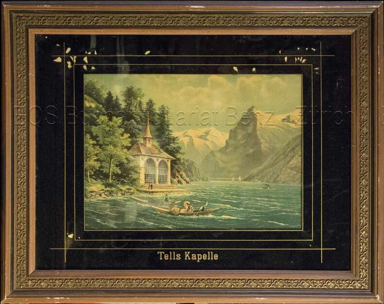
1860ref. 824CG(um 1860). Chromolithographie hinter Glas. Bildausschnitt: 24 x 33 cm.
1820ref. 778CGBâle, Berne et Genève, Publié par J. P. Lamy, um 1820. Altkolorierte Aquatinta. Bildgrösse: 11,8 x 16 cm. Blattgrösse: 19,8 x 27, 3 cm.
1823ref. 16001London, J. Hatchard and Son, 1823. In-8 de VIII-372 pages, plein veau à grains long caramel, dos à nerfs orné de filets dorés, pièce de titre noire, tranches mouchetées rouge. Un petite accroc au premier plat et une légère fente au second mors.
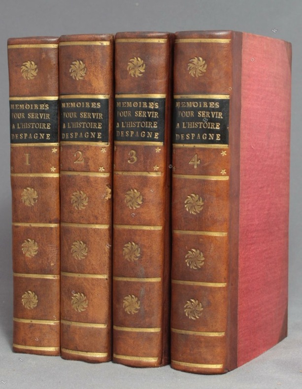
1756ref. 9756A Amsterdam, Chez Zacharie Chatelain, 1756. 4 volumes in-12 de [8]-XXXIV-405; [2]-IV-483; [4]-437 et [4]-495 pages, demi-veau brun à coins, dos lisses ornés de fleurons, filets, étoiles et tomaison dorés, étiquettes de titre noires, tranches jaunes. Tout petit choc au dos du tome 2, rares rousseurs. Le relieur a inversé les faux-titres des volumes 3 et 4.
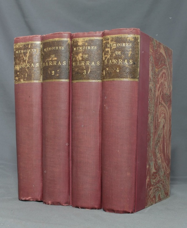
1895ref. 1723Paris, Lib. Hachette, 1895-1896. 4 volumes in-8 de LXXXIII-372 / XVI-543 / XXXVI-526 et XXXII-548 pages, demi-percaline bordeaux, dos lisses, étiquettes de titre brunes, un brin frottées, couvertures conservées.
1878ref. 1856Paris, Lib. militaire de J. Dumaine, 1878-1883. 3 volumes in-8 de 318 + 250 + 246 pages, demi-maroquin noir, dos à nerfs, légèrement épidermés. Quelques rousseurs.