11.756 resultados
1691Amsterdam, Huguetan & Mortier, 1691. 56x85 cm. Large engraved map of Terra Sancta with original colours in outline. With two large engraved cartouches. Small repairs to lower part of centerfold.
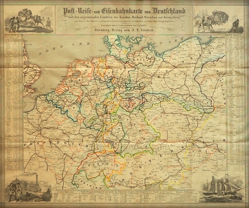
1847ref. 88384Nürnberg, J. L. Lotzbeck [Johann Ludwig Lotzbeck], 1847. Mehrfach gefaltet. grenzkolorierte Stahlstichkarte, [Maßstab ca. 1:3.800.000]. Karte 39,5 x 47 cm, Blattgröße 41 x 50 cm.
1704Pianta di Roma antica, orientata con il nord a sinistra."A proiezione obliqua; orografica. Veduta a volo d'uccello con la raffigurazione dei soli edifici e monumenti pubblici principali, rappresentati in alzato" (cfr. Scaccia Scarafoni p. 36).La mappa deriva da quella di Johannes Blaeu del 1663, della quale è una perfetta riedizione, non derivante dalla stessa lastra: "Quella del Mortier non è dunque un ristampa della precedente del 1663, come si legge in qualche repertorio, ma una perfetta riedizione […] lo dimostrano alcune varianti, il titolo in latino al centro in alto rialzato per far posto alla sottostante traduzione in francese, i toponimi interamente riscritti e leggermente più grandi dell'originale, soprattutto la scomparsa del ricco stemma del nobile Simone van Hoorn e del cartiglio con la dedica allo stesso, a firma del Blaeu" (cfr. Caldana, p. 98).Opera tratta dal terzo volume del Nouveau Theatre de l’Italie.Acquaforte, con margini, in perfetto stato di conservazione. Map of ancient Rome, oriented with the north to the left."A proiezione obliqua; orografica. Veduta a volo d'uccello con la raffigurazione dei soli edifici e monumenti pubblici principali, rappresentati in alzato" (cfr. Scaccia Scarafoni p. 36).The map derives from Johannes Blaeu's map of 1663, of which it is a perfect re-edition, nor derived from the same plate: "Mortier's map is therefore not a reprint of the previous one of 1663, as we read in some repertoire, but a perfect re-edition [...] this is demonstrated by some variations, the Latin title in the center at the top raised to make way for the underlying French translation, the place names entirely rewritten and slightly larger than the original, especially the disappearance of the coat of arms of the noble Simone van Hoorn and the cartouche with the dedication signed by Blaeu" (cf. Caldana, p. 98).Work taken from the third volume of the Nouveau Theatre de l'Italie.Etching, with margins, in perfect condition. Caldana, "Roma Antica", 2013, p. 98, n. I.45; Scaccia Scarafoni, "Le Piante di Roma", n. 36.
1730ref. 135441730 coloris ancien, un peu passé, cadre bois naturel. carte 47 x 57 cm., 1 grand cartouche colorié, 2 petits cartouches dont l'un donne les blasons des 12 états, en couronne autour du Vésuve. Augspurg Probst Haeredes (ca. 1730)
ref. BN103037IGN - Institut Géographique National. Carte de randonnée : Pau Carte de randonnée : Pau IGN - Institut Géographique National unknown
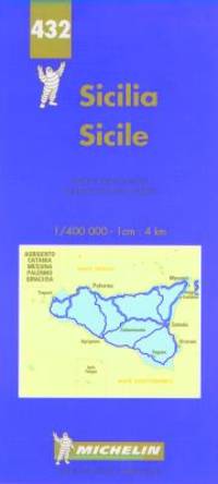
1997ref. BN438239Michelin Editions des Voyages 1997. 1997. Carte routière : Sicile N° 432 Carte routière : Sicile N° 432 Cartes Michelin Michelin Editions des Voyages unknown
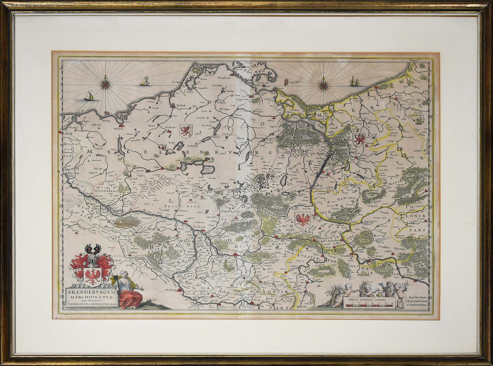
ref. 66533CBo.J. (Willem Janszoon Blaeu, geb. 1571 in Alkmaar oder Uitgeest (NL), gest. 21.10.1638 in Amsterdam, niederländischer Kartogr
ref. 410193Institut Géographique De Paris - Ch. Delagrave Paris 1894 In-8 ( 250 X 165 mm ), reliure mi-XXe demi-basane bleue à la bradel, dos lisse titré or en long, couvertures imprimées conservées mais remontées. Bien complet de ses 6 cartes dépliantes, dont la 1ère de très grande dimension, qui a été remontée avec adhésif au verso des pliures. EDITION ORIGINALE. BON EXEMPLAIRE, peu commun.
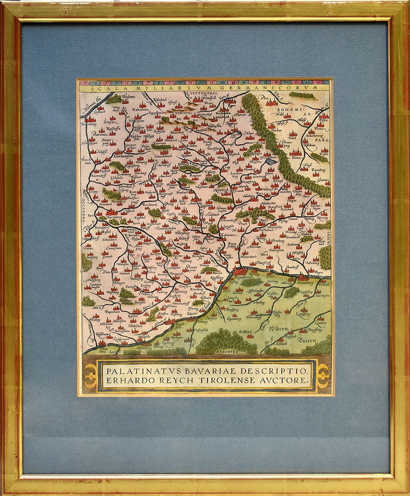
ref. 86076o.J. 50,5 x 42,5 cm. [Aus: C. Danckwerth, Newe Landesbeschreibung... 1652]. Gerahmt.
ref. 53248BBo.J. Abraham Ortelius, geboren 1527 in Antwerpen; gestorben 28. Juni 1598 ebenda.
ref. 59507BBo.J. Abraham Ortelius, geboren am 4. oder 14. April 1527 in Antwerpen, gestorben am 28. Juni 1598 ebenda. Flämischer Geograph und Kartograf. [3 Warenabbildungen]
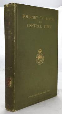
1902ref. 1607050057John Murray 1/1/1902. Stated 2nd Edition revised. Hardcover. Good. Bound in publisher's green cloth. Gilt lettered and stamp of the Royal Geographical Society on front cover. Library stamps and markings. 285 pages. 34 illustrations and maps 6 of which are folding. Large color map of Tibet at rear. Many of the plates are stamped with library stamps on blank side. Sarat Chandra Das 1849-1917 was a Bengali scholar of Tibet. Das has been described as "a traveler explorer.linguist a lexicographer an ethnographer and an eminent Tibetologist." Das was also a British spy. Born in Chittagong Das trained as an engineer in Calcutta. He became headmaster of the Bhutia Boarding School in Darjeeling. Bhutia was a school for Sikkimese and Tibetan boys many of who would be trained to fill a special place in the British colonial regime the role of a Pundit. Das became a "pundit" and an instructor at the school for British intelligence. Pundits acted as a network of British-trained operatives who were tasked to make inroads in the foreboding inner regions of Asia where white embassies could not gain entry. Tibet and other inland areas were increasingly gaining attention from competing British Russian and Chinese economic and strategic interests. Derek Waller speculates that the character of Huree Chunder Mookerjee in Kipling's Kim was based on Das p.193. As a teacher Das learned Tibetan to speak with his students. He read the limited books on the region available notably of Bogle 1773-5 and Manning's travels 1811 to Tibet. Manning and Bogle were the last successful British explorations of Tibet a nation who steadfastly resisted western intrusion. Das's language ability secured him entry with his colleague Lama Ugyen Gyasto to Tashilhunpo monastery in 1879 as the Prime Minister wished to learn Hindi from him. In 1881 Das returned to Tashilhunpo and made his way to Lhasa Sakya and the Tsangpo River. There he met with Thupten Gyatso the 13th Dalai Lama d. 1933 and returned to Darjeeling with a Yak loaded with over 200 Tibetan manuscripts. After Das was revealed to be a British agent Tibetan authorities increased restrictions on travelers and the Minister who had sponsored his entry was put to death. What makes Das's expedition so interesting is that he successfully brought back a wealth of information on an unknown land to the larger world. The Tibet that Das glimpsed is now gone with the passage of history and the destructive forces of modernity and Chinese domination. This book compiles the story of Das's journey his reports photographs diagrams ethnographic observations etc of a lost Tibet. Das went on to become an important Tibetan scholar and author an extensive multi-volume dictionary. The British would not successfully return to Tibet until 1903-4 with Colonel Francis Edward Younghusband's exhibition invasion and massacre of ~5000 Tibetans. Significantly Younghusband was the President of the Royal Geographical Society which notably published the 1902 edition of Das's book. An interesting and dark connection to Das's legacy. Ref: Derek Waller's The Pundits: British Exploration of Tibet and Central Asia. University Press of Kentucky 1990 pp. 193-209. Also Samanth Subramanian's superb piece in the New York Times Magazine March 20 2016 p. MM61. Peter Hopkirk The Great Game: The Struggle for Empire in Central Asia Kodansha 1992. Yakushi D55 Yakushi D356. Marshall 1459 John Murray hardcover
1949ref. 1807230045Kegan Paul Trench Trubner 1949-01-01. Hardcover. Good. 3 volume set. Bound in publisher's green cloth with gilt lettering. Very good bindings and covers. Spines slightly sunned. viii 667 viii 743 xvi 823 pp index many color folding maps. Light foxing. Contents: Vol. 1. From the origins to the arrival of the Portuguese in 1542 A.D.; Vol. 2. During the century of early foreign intercourse 1542-1651; Vol. 3. Tokugawa epoch 1652-1868. Vol. 1-2 3rd impression. Vol. 3 1st impression. Vol. 3 revised and edited by Joseph H. Longford. At Longford's death the work was transferred to L.M.C. Hall. Maps by Isoh Yamagata. First published in 1903 Murdoch's work quickly became an important reference in Japanese history. This is an oversized or heavy book which requires additional postage for international delivery outside the US. Kegan Paul, Trench, Trubner hardcover
1926ref. 1808090055Kegan Paul Trench Trubner 1926. Hardcover. Very Good. 3 volume set. Bound in publisher's green cloth with gilt lettering. Very good bindings and covers. viii 667 viii 743 xvi 823 pp index many color folding maps. Light foxing. Contents: Vol. 1. From the origins to the arrival of the Portuguese in 1542 A.D.; Vol. 2. During the century of early foreign intercourse 1542-1651; Vol. 3. Tokugawa epoch 1652-1868. Vol. 3 revised and edited by Joseph H. Longford. At Longford's death the work was transferred to L.M.C. Hall. Maps by Isoh Yamagata. First published in 1903 Murdoch's work quickly became an important reference in Japanese history. This is an oversized or heavy book which requires additional postage for international delivery outside the US. Kegan Paul, Trench, Trubner hardcover
2009ref. SBBIH-PX3UKNQQMJSJPhilip's 2009. hardcover. Good. Our good condition books are generally good for reading but not for gifting or collecting. They could have imperfections such as creasing fanning inscriptions margin notes yellowing staining on edge or cover or pages bumps scuffs etc etc sometimes multiple of these. It's a wide category that encompasses anything that isn't almost-new down to anything that is slightly better than poor. We would NOT recommend gifting Good books - these should be considered reading copies. Our books are dispatched from a Yorkshire former cotton mill. We list via barcode/ISBN so please note that the images are stock images and may not be the exact copy you receive furthermore the details about edition and year might not be accurate as many publishers reuse the same ISBN for multiple editions and as we simply scan a barcode or enter an ISBN we do not check the validity of the edition data when listing. If you're looking for an exact edition please don't order at least not without checking with us first although we don't always have time to check. We aim to dispatch prompty the service used will depend on order value and book size. We can ship to most countries see our shipping policies. Payment is via Abe only. Philip's hardcover
ref. 0976373343-11-1Toucan Maps Inc. 4th. Very Good. It's a well-cared-for item that has seen limited use. The item may show minor signs of wear. All the text is legible with all pages included. It may have slight markings and/or highlighting. Toucan Maps Inc. unknown
1579Very Good German Original hand-colored map. 4to. 27x19 cm, with cartoon frame: 40x30 cm. A decorative small map of Asia Minor, from east to the Euphrates, South to the Mediterranean, North to the Black Sea and including Thracia (Thrace). It shows Thracia, Bithynia, Pontus, Paphlagonia, Galatia, Phrygia Minor, Mysia, Phrygia Maior, Lydia, Ionia, Ephesos, Meandros, Lycus [Valley], Caria, Lycia, Pamphylia, Cilicia, Lycaoni, Pisidia, Argos Mt., Taurus Mt., Sebastia, Cappadocia, Armenia, Syria, Nicopolis. Seas decorated with sea monsters. The land filled with mountains. "Münster's Cosmography was one of the most influential geographical works of the 16th Century. It was published in a number of editions over a half century and was continuously revised and updated to include new illustrations and updated information. Sebastian Münster (1488-1552) was a cosmographer and professor of Hebrew who taught at Tübingen, Heidelberg, and Basel. He settled in the latter in 1529 and died there, of plague, in 1552. As a young man, Münster joined the Franciscan order and studied philosophy in Heidelberg. He also studied geography and mathematics in Loewen, as well as Hebrew at Freiburg. In 1512, he was ordained as a priest and taught philosophy and theology at Tübingen from 1514 to 1518. While in Tübingen, he also conducted further studies in geography. He moved to Basel in 1518 and published a Hebrew grammar, one of the first books in Hebrew published in Germany. In 1521 Münster moved again, back to Heidelberg, where he continued to publish Hebrew texts and the first German-produced books in Aramaic. After converting to Protestantism in 1529, he took over the chair of Hebrew at Basel, where he published his main Hebrew work, a two-volume Old Testament with a Latin translation. Münster made himself the center of a large network of scholars from whom he obtained geographic descriptions, maps, and directions. He published his first known map, a map of Germany, in 1525. Three years later, he released a treatise on sundials. In 1540, he published Geographia universalis vetus et nova, an updated edition of Ptolemy's Geographia. In addition to the Ptolemaic maps, Münster added 21 modern maps. One of Münster's innovations was to include one map for each continent, a concept that would influence Ortelius and other early atlas makers. The Geographia was reprinted in 1542, 1545, and 1552. Münster is best known today for his Cosmographia universalis, the first German-language description of the world. It was first published in 1554 and contained 471 woodcuts and 26 maps over 6 volumes. Many of the maps were taken from the Geographia and modified over time. It was released in at least 46 editions in 6 languages by 1650, with 21 German editions alone. The Cosmographia was widely used in the sixteenth and seventeenth centuries and the text, woodcuts, and maps all influenced geographical thought for generations.".
ref. 76774aafZurih, Orell Füssli & Co. s.d. , in-4to, 16 p. + carte géographique dessinée sur papier par G. Maggini d'après les cartes des Etats majors français et italiens, brochure originale illustrée avec dos toilé (petite perte au dos),
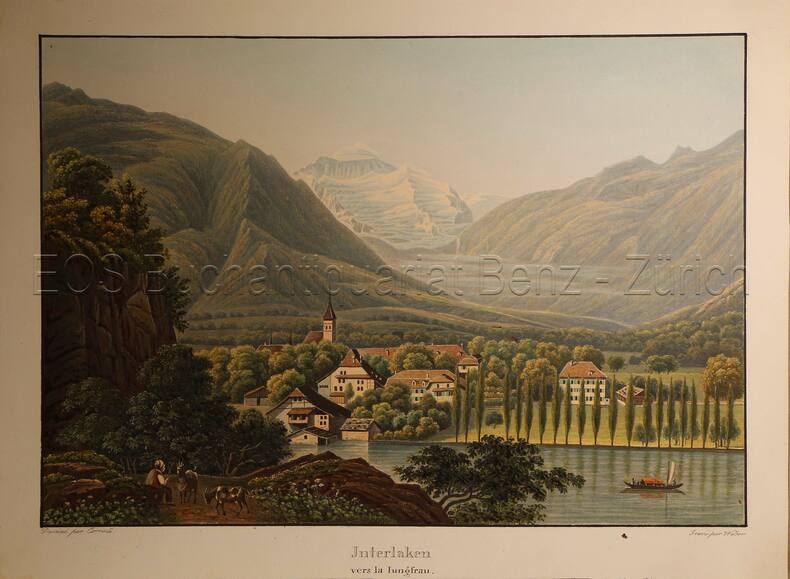
1935ref. 617DGO.O., um 1935. Altkolorierte Aquatinta von Lukas Weber (1811-1860). Bildgrösse: 17,7 x 25,2 cm. Blattgrösse: 20,9 x 28,2 cm.
ref. 265.1aafVers 1790, 24.5x30.5 cm, handkolorierte Kupferstich-Karte , aus: ‘REILLY, Schauplatz der fünf Theile der Welt’ (Abtheilung: Kantons-Atlas der Schweiz -1789-1791). 1 feuille / 1 Blatt 29 x 36.5 cm.
1907ref. 2541Paris, Lib. Armand Colin, 1907. In-8 de [4]-536-[2] + [4]-1488 pages chiffrées 2024 p. Demi-maroquin noir, dos à nerfs ornés de fleurons dorés, tête jaspée. Très belle condition.
ref. 101163aafSeidel & Sohn, Wien, 1905. in-4to, ATLAS: 2 Bl. (Titel - Verzeichniss) + 42 gef. Karten. Tafel I-XXXVIII + 1 gef. Übersichts-Blatt, (incl. Tafel XV (Südwestl. Theil - in der Série gezählt) + Tafel XV - Nordostl. Theil + Tafel XV - Südostl. Theil + Tafel XV - Nordwestl, Theil. / TEXTBAND.: XXIV + 718 S., Tafeln in original Halbleinen Kartenmappe / O.-Halbleder mit Ecken.
1857ref. 9560Philadelphia, Childs & Peterson, 1857. 2 volumes in-8 de 2-464-2 et 2-467-2, pages, pleine percaline bleue, dos (un peu passés) avec titre doré et roulettes à froid, plats ornés d'un navire dans un décor à froid. Quelques rousseurs, nom de possesseur sur gardes.
1835ref. 783CGO.O., um 1835. Altkolorierte Aquatinta von Rudolf Bodmer (1805-1841). Bildgrösse: 14,1 x 19,5 cm. Blattgrösse: 17 x 22 cm.
ref. 66144CBo.J. [3 Warenabbildungen] (Guiljelmum Blaeu, dt. Willem Janszoon Blaeu, geb. 1571 in Alkmaar oder Uitgeest, gest. 1638, niederländischer Kartograf