NOLIN (Jean-Baptiste);Livre Rare Book
12.228 resultados
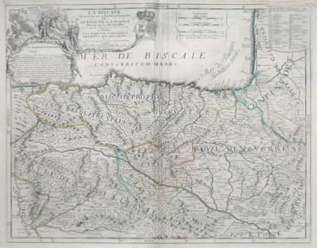
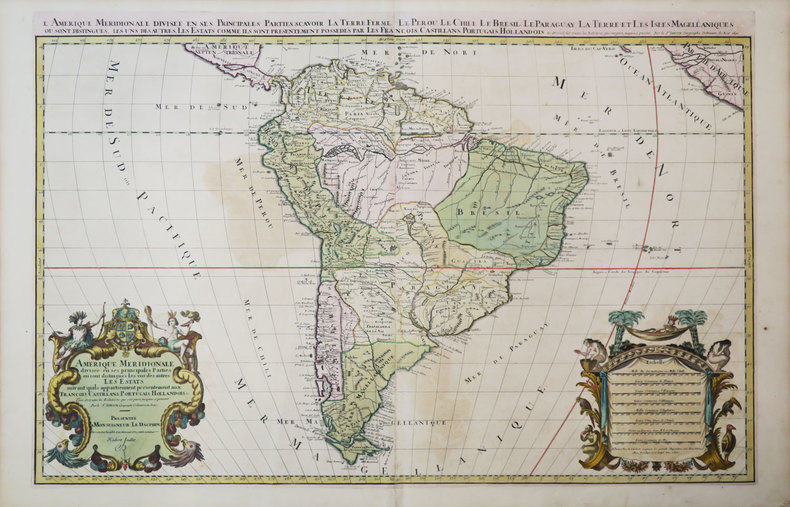
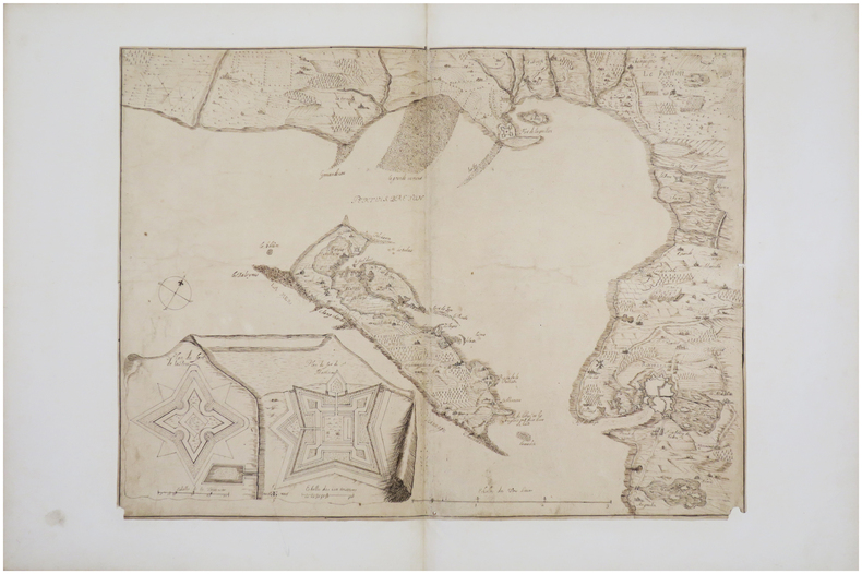
1704ref. LBW06193Paris J.B. Nolin 1704 En deux feuilles jointes 447 x 731 mm.
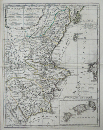
ref. LBW06192Paris J.B. Nolin circa 1705 450 x 577 mm.
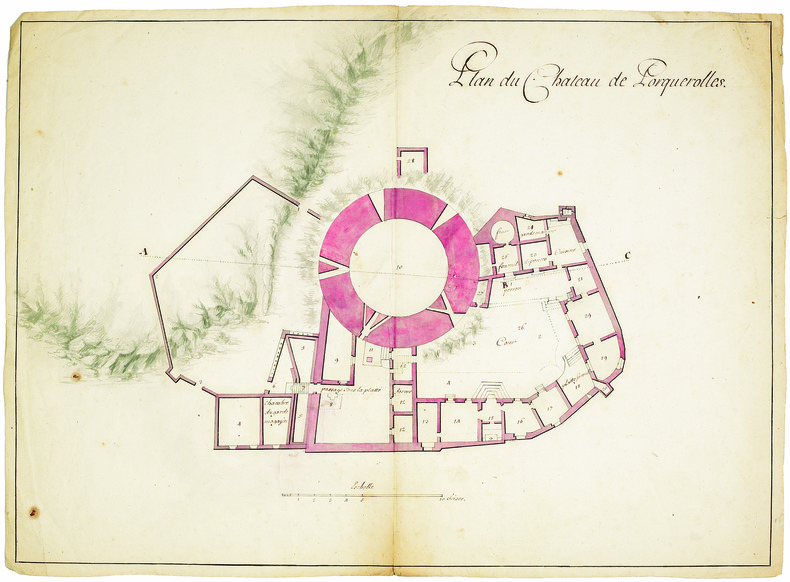
ref. LBW06190Paris J.B. Nolin circa 1705 560 x 434 mm.
1574ref. LBW-589Anvers 1574-1575 363 x 434 mm.
1750ref. LBW-4131[circa 1750]. 390 x 555 mm.
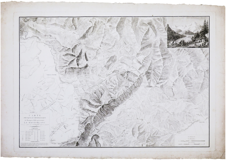
1815ref. LBW-6676[1815]. 572 x 823 mm.
1561Acquaforte e bulino, circa 1561. Magnifica prova, impressa su carta vergata coeva, con margini, in perfetto stato di conservazione. Esemplare in meravigliosa coloritura coeva.Carta tratta dalla "Geographia di Claudio Tolomeo", a cura del Ruscelli, pubblicata in Venezia in pù edizioni tra il 1561 ed il 1598. La carta è basata sulla "Geografia" di Giacomo Gastaldi, che probabilmente disegnò personalmente anche queste mappe, che vennero incise dai fratelli Sanuto. La peculiarità di queste mappe è che sono incise due per lastra e successivamente tagliate; questo il motivo per cui il segno del rame appare solo in tre lati della mappa. Il testo del Ruscelli e le sue carte sono considerate come il miglior atlante moderno fino alla prima versione del Thatrum di Ortelius, 1570. Solo la loro enorme diffusione ne impedisce una valutazione sostenuta nel mercato antiquario. L'opera infatti ebbe una prima stesura nel 1561, stampata da Vincenzo Valgrisi che ne curò anche la ristampa del 1562. Tre sono le edizioni firmate da Giordano Ziletti (due nel 1564 e una del 1574), mentre nel 1597 viene edita dai fratelli Calignani. Tutte queste edizioni contengono 64 tavole. Nel 1598 e 1599 vengono alla luce le due edizioni curate da Giuseppe Rosaccio e stampate dagli Eredi di Melchior Sessa. Queste ultime due edizioni comprendono 69 tavole; sono infatti aggiunte la carta del planisfero e dei continenti del Rosaccio. ORIGINAL COLOURINGEtching with engraving, about 1561. Magnificent proof, printed on contemporary laid paper, with margins, in perfect condition. Example in wonderful contemporary coloring.Map, taken from Ruscelli edition of Ptolemy's "Geographia", printed in Venice from 1561 to 1598. Ruscelli's Atlas is an expanded edition of Gastaldi's "Geografia" of 1548, which has been called the most comprehensive atlas produced between Martin Waldseemüller's Geographiae of 1513, and the Abraham Ortelius Theatrum of 1570. Ruscelli and Gastaldi's maps were beautifully engraved on copper, marking a turning point in the history of cartography. From that point forward, the majority of cartographic works used this medium. As it was a harder material than wood it gave the engraver the ability to render more detail. Gastaldi sought the most up-to-date geographical information available, making the modern maps in Ruscelli's Geographia among the best modern maps of the period. The maps are engraved by the Sanuto borthers.Only their enormous diffusion prevents a sustained evaluation in the antique market. The work in fact had a first issue in 1561, printed by Vincenzo Valgrisi who also edited the reprint of 1562. There are three editions signed by Giordano Ziletti (two in 1564 and one in 1574), while in 1597 it was edited by the Calignani brothers. All these editions contain 64 engraved maps. In 1598 and 1599 the two editions edited by Giuseppe Rosaccio and printed by the heirs of Melchior Sessa come to light. These last two editions include 69 plates; in fact the map of the planisphere and of the continents of Rosaccio are added.Only their ubiquity prevents an assessment supported in the antique market.
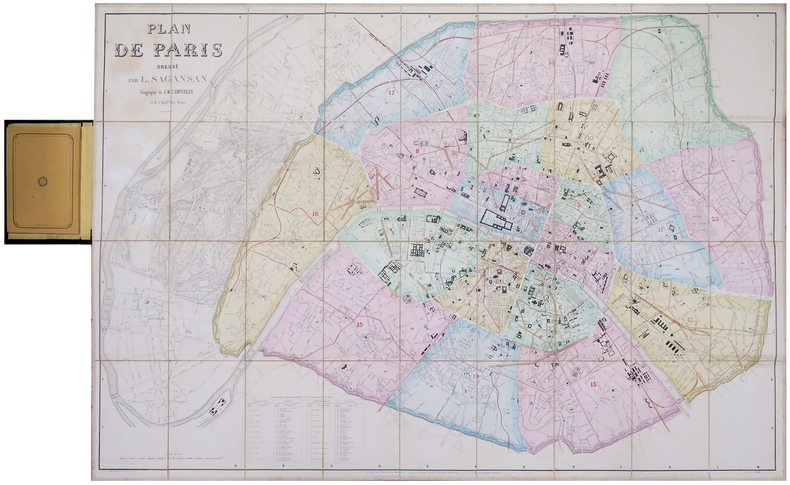
1860ref. LBW-6199Paris, chez l'auteur, 1860. En 36 sections montées sur toile et pliées, formant un plan de 0,79 x 1,14 m ; monté dans sa reliure éditeur en percaline noire (20,5 x 13 cm), contenant une nomenclature des rues de 104 pages ; titre en lettres dorées sur le premier plat.
1691ref. LBW-3673Paris, H. Jaillot, 1691. En deux feuilles jointes de 573 x 884 mm.
ref. LBW-784[fin XVIIIe]. 218 x 180 mm.
1676ref. LBW-7057Londres, Thomas Bassett and Richard Chiswell, [1676]. 402 x 522 mm.
1840ref. LBW-4148[circa 1840]. En 21 sections montées sur toile et repliées, formant une carte de 648 x 978 mm.
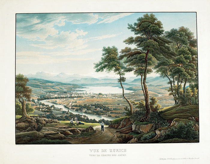
1830ref. LBW-821Zurich F.S. Fuessly circa 1830 345 x 423 mm.
1747ref. LBW-40941747. 505 x 772 mm.
ref. LBW-7437[milieu du XVIIe siècle]. 39 x 53,5 cm, sur papier mince, et monté sur papier vergé postérieur.
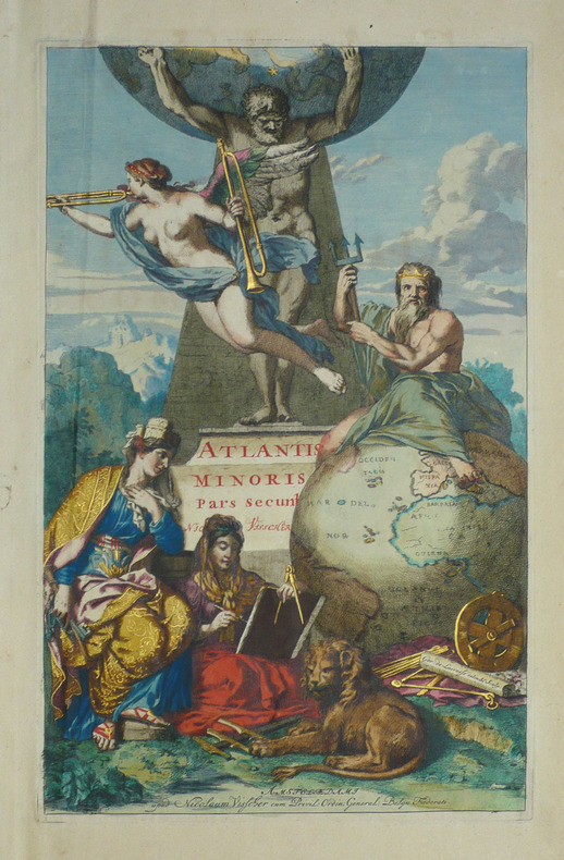
1690ref. LBW-1718Amsterdam Nicolaum Visscher vers 1690 397 x 250 mm.
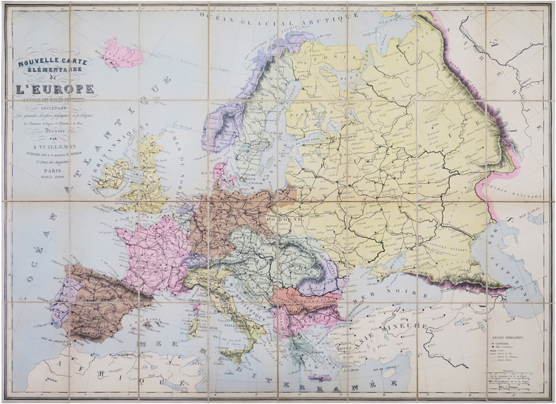
1900ref. LBW-8465Paris, V.P. Marin, [vers 1900]. En 32 sections montées sur toile et repliées, formant une carte de 0,85 x 1,14 m ; étiquette au dos de l'éditeur Maison Logerot V. P. Marin.
1696Carta nautica del mondo tratta dalla Specula physico-mathematico-historica notabilium ac mirabilium sciendorum, in qua mundi mirabilis oeconomia ... nunc autem ad lucem protractus, ac ad varias perfacili methodo acquirendas scientias in epitomen collectus thesaurus curiosis omnibus cosmosophis inspectandus proponitur... / authore Joanne Zahndello Zahn, una cosmografia riccamente illustrata. Zahn era un monaco, studioso e scienziato, si dedicò a studi sulla camera oscura. La sua opera è sulla scia di Athanasius Kircher - studioso gesuita, uno dei primi scrittori sui fenomeni fisici della terra - che, nel suo Mundus Subterraneus (1665) teorizzava che tutti gli oceani della Terra erano connessi tra loro tramite dei tunnel sotterranei che univano oceani e mari. Tra il Mar Mediterraneo, il Mar Nero, il Mar Caspio e il Golfo Persico, Kircher ha teorizzato enormi gallerie e un complesso interscambio di flussi d'acqua. Questi tunnel sono particolarmente noti tra il Mar Nero e il Mar Caspio e tra il Mediterraneo e il Golfo Persico. L'Antartide è rappresentata lungo la parte meridionale della mappa. A nord è raffigurato un grande passaggio aperto a nord-ovest che corre lungo tutta la mappa. Mostra la Nuova Guinea e una suggestione dell'Australia collegata alla terraferma Australsis Incognita. L'Africa è mostrata con una precisione notevolmente maggiore rispetto a molte mappe disegnate centinaia di anni dopo - in particolare per quanto riguarda il Niger e i sistemi fluviali del Nilo. Il Nord America e il Sud America sono entrambi maldestramente raffigurati, il che indica una conoscenza relativamente sommaria del continente. La Corea viene mostrata come un'isola e il Giappone appare come un'unica isola. Incisione in rame, in ottimo stato di conservazione. A world chart from the Specula physico-mathematico-historica notabilium ac mirabilium sciendorum, in qua mundi mirabilis oeconomia ... nunc autem ad lucem protractus, ac ad varias perfacili methodo acquirendas scientias in epitomen collectus thesaurus curiosis omnibus cosmosophis inspectandus proponitur... / authore Joanne Zahn, a finely illustrated cosmography, designed to show the ocean currents, vortexes and volcanos. Johann Zahn (1631-1707), a German monk, also published a … read morebook on optics, 'Oculus Artificialis Teledioptricus Sive Telescopium' (1685), with extensive descriptions of both the camera obscura and the magic lantern, which he used for anatomical lectures.[«] SHIRLEY: World 583, "engravings of a high standard". The Mundi Mirabilis oeconomia was influenced by Kircher’s Mundus Subterraneus (1665). The Jesuit scholar, Athanasius Kircher, was one of the first compilers of semi-scientific knowledge about the physical features of the world. This map expounds on Kircher's theories by noting the abysses and the currents they create as well as the locations of the world's known volcanoes. Between the Mediterranean Sea, the Black Sea, the Caspian Sea, and the Persian Gulf, Kircher theorized massive tunnels and a complex interchange of water flows. These tunnels are noted most particularly between the Black and Caspian Sea and between the Mediterranean and the Persian Gulf. Antarctica is shown along the southern part of the map. In the North a great open northwest passage is depicted running all the way across the map. Shows New Guinea and a suggestion of Australia attached to the 'Australsis Incognita' mainland. Africa is shown with considerably greater accuracy than many maps drawn hundreds of years later – particularly with regard to Niger and Nile River Systems. North America and South America are both wildly malformed, indicating a relatively sketchy knowledge of the continent. Korea is shown as an Island and Japan appears as only a single island. Copperplate, very good condition. R. W. Shirley, "The Mapping of the world", 583.
1920ref. 8575Paris 1920. French naval chart 63 x 91.5 cms black and white with beacons highlighted in yellow insets of Port dAbri the inner harbour at modern day Izmir and two coastal profiles slightly dusty lower margin one or two closed marginal tears blank verso. Engraved in 1866 after British charts by Copeland and Spratt this example of the map was printed in September 1920 during the Greek occupation of the Zone of Smyrna part of the territory awarded to Greece at the expense of the Ottoman Empire by the Allied powers after the Great War. Smyrna became an important base for Greek forces during the resulting Greco-Turkish War of 1919-1922 and in the bloody aftermath of the Greek withdrawal half the city was razed in the Great Fire of Smyrna also known as the Smyrna Catastrophe. Map unknown
18018vo [22 x 15 cm]; 3 volumes, xxiv, xxiii, 576; viii, 618; xxii, 477 pp, 22 engraved maps and plates, many folding, including frontis portrait and 11 maps. later half calf, gilt title lettering on spines, edges worn, signature, a map split at fold, only light foxing, very good set. A picture of this book is available upon request by email. Sabin 21901. Cundall 2095. Welch 264. The maps include west Indies, Jamaica, Barbados, Granada, St. Vincent, Dominica, St. Christopher and Nevis, Antiqua, Virgin Islands, St. Doningo, Tobago. The plates include Negro festival, plan for sugar mill, view of Trelawney town, aboriginal peoples, bread fruit, etc. The first edition was 1793 in two volumes. The earlier editions had only 5 maps, few plates. Regatz 165: 'A classic in British Caribbean literature and probably the most famous work in the field. Standard for over a century, and still in many respects the best book on the subject up to the close of the 18th century'.
1840ref. 018232London: Printed and Published By J. Barfield 1840. Book. Very Good. Hardcover. Fourth Edition. Folio 30 x 46cm. "Revised Collated and Considerably Enlarged by John Satchell Esq." Seventy-four double-page engraved genealogical tables and geographical maps all with original hand colouring contemporary . half black morocco gilt with green cloth boards. Binding good with some general wear and rubbing leather chipped with loss to the base of the spine joints rubbed but still strong corners worn. All edges gilt./ Contents clean and tight contemporary ink stain effecting the fore-edges of the first few pages but not affecting text or maps most noticeable to the front end papers with also have a pencil inscription dated 30 November 1935. All maps and charts in very good condition. Notwitstanding wear to the binding a very good copy. Printed and Published By J. Barfield Hardcover
1906ref. 197908Kobe Japan.: Fuku-In-Kwan. 1906. Printed colour folding map on two conjoined sheets laid down 73.8 x 105 cm foxing on verso not affecting map single pinhole in each corner scant spotting small fold splits no loss a few soft fold creases but in good condition. Very rare striking map of Japan published for the Western market. Created under the direction of Takachika Okishio featuring 10 inset maps: Chishima Kurile Islands Hokushu Hokkaido Ogasawara-Jima Bonin Islands Hachijo-Shima Ioshima Okinawa Saki-Shima Kyushu Saikaido Taiwan Formosa and Eastern Asia. The insets of Taiwan and Kyushu are the largest and centrally positioned. A Glossary and Explanation of Signs is printed at the foot of the map which list Towns Railway Stations Boundaries of Prefectures Notable Places Hot Springs Water-falls rapids Volcanoes Light-Houses Gold Silver and Coal-Oil fields. The Japanese Government Railway series of Travellers' Maps of Japan appear to have been modelled after this design. . Fuku-In-Kwan. unknown
1860ref. LBW-8819[1860]. 375 x 610 mm, monté sur carton fort.
1659In -4°, pp. (8), 747, (36); (4), 201, (14); (8), 162, (14); (4), 77, (15); mezza pergamena con titolo e fregi al dorso. Manca una carta (Europa) delle quattro stampate. Ognuna delle quattro parti del libro ha il suo frontespizio con marca tipografica. La “Ragion di stato” è l’opera principale di questo gesuita, che era stato anche precettore per i Savoia: l’espressione entra nell’uso solo successivamente alla compilazione del lavoro. A map missing (Europe) on the four printed. Each of the four parts of the book has his own title.