12.535 resultados
1934ref. 39286Paris Société d'éditions géographiques, maritimes et coloniales s.d. [1934] in-folio demi-toile marron à coins, dos lisse muet, titre poussé sur le plat supérieur [reliure de l'éditeur], fente à une charnière, qq. taches sur le plat supér
ref. ORD-20385les écluses, des bureaux établis pour la perception des droits de navigation, le tracé des chemins de fer, avec un tableau synoptique comprenant les principaux renseignements qui peuvent intéresser le Commerce et le guider dans la direction des transports.- Paris. Andriveau-Goujon. 1853. Grande carte (ca 98 x 128 cm) à l'échelle de 1.300.000, gravée par J. Barthélemier, repliée au format in-8 (165 x 245 mm), contrecollée sur toile écrue, sous étui veiné de brun, pièce de titre maroquin vermillon au dos, étiquette de titre ornée sur le premier volet. Très bon état. Rare.
1775ref. LBW-8189Paris, S.r Jaillot, 1775. En deux feuilles coupées en sections montées sur toile et repliées, de 752 x 636 mm et 509 x 641 mm ; étiquettes au dos portant le titre en manuscrit.
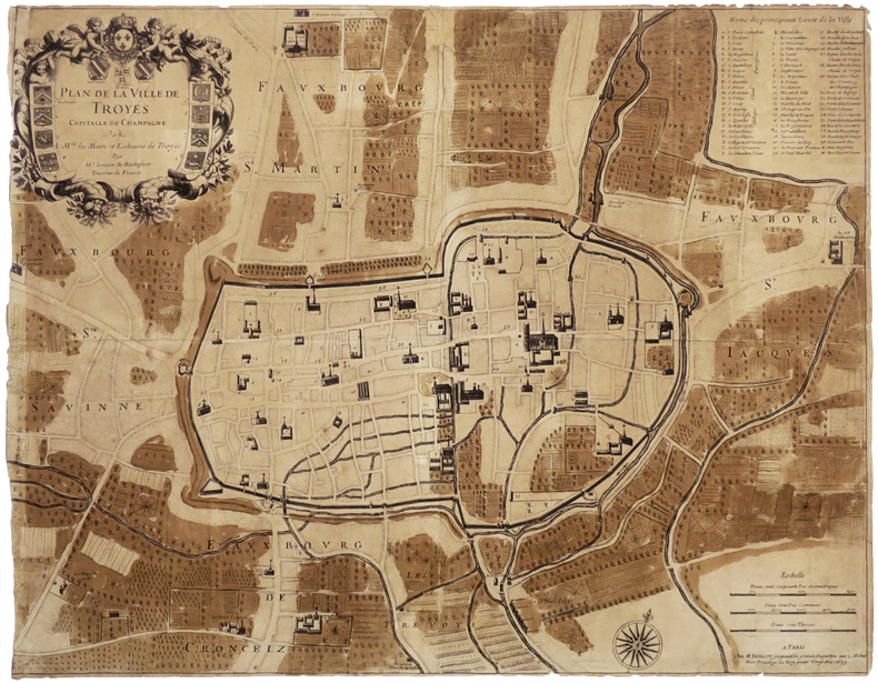
1679ref. LBW-6502Paris, H. Jaillot, 1679. 457 x 587 mm.
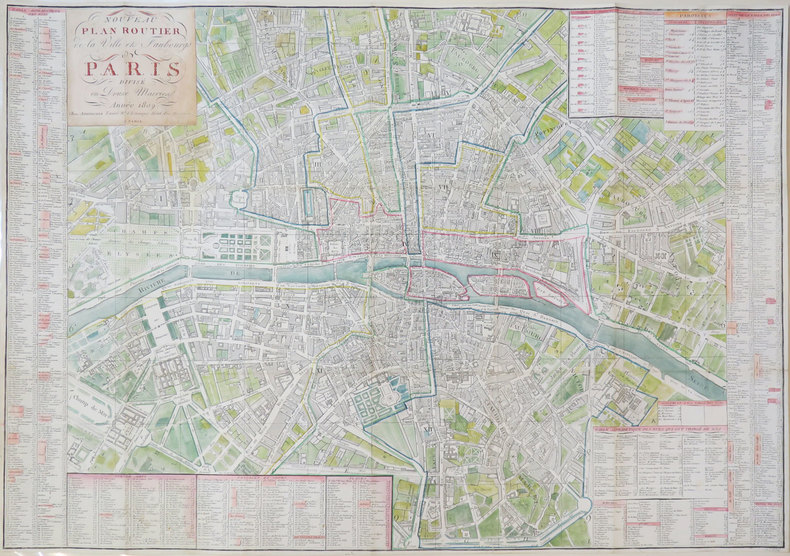
1809ref. LBW-3429Paris, Journeaux l'aîné, 1809. 543 x 764 mm.
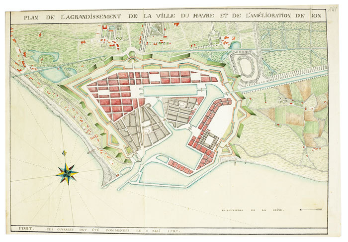
1787ref. LBW-512[circa 1787]. 305 x 437 mm.
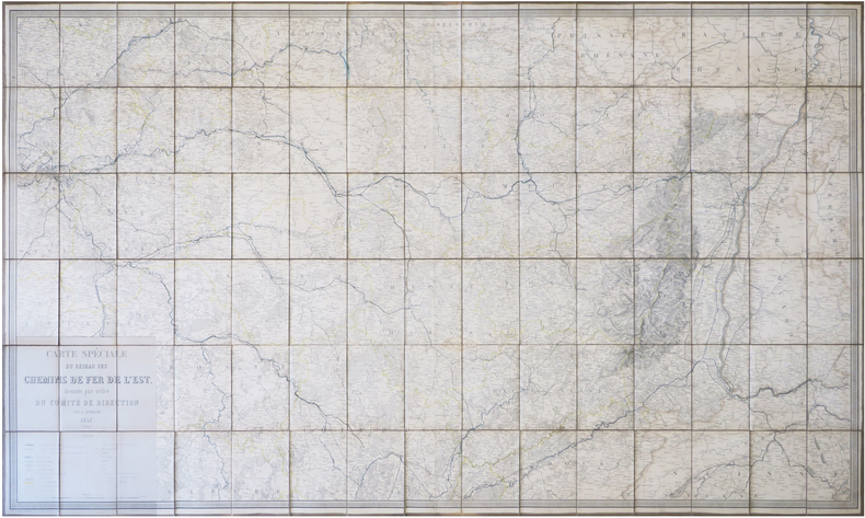
1857ref. LBW-78611857. En 90 sections montées sur toile et repliées, formant une carte de 0,94 x 1,56 m ; sous emboîtage de percaline bleue."
1798ref. PHO-1110Paris, F. Buisson, An 6 de la République (1798). Cinq volumes in-8 (21x13,5cm) , relié plein cuir époque , dos lisse orné avec pièces de titre et de tomaison , filet en torsade sur les plats, coins et coiffes usés , charnières frottées (fente sur le tome 1) , (4) viij, 515pp. et (4) 412pp. et (4) 399pp. et (4) 326pp. et (4) ij, 402pp. ; (2) , illustré de 29 gravures (32) , 4 frontispices et 3 grandes cartes dépliantes gravés par Tardieu l’Ainé , pages de titre brunis . Édition originale du voyage de Macartney avec le 5eme volume ,en seconde édition, contenant le précis de l’histoire de Chine par Huttner (1-184) et la relation de son voyage (187-358) dans une reliure uniforme .
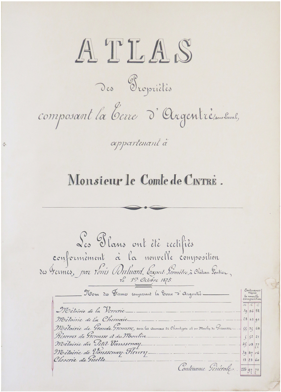
1875ref. LBW-8229Château-Gontier, 1875. In-folio ; demi-basane verte, dos lisse muet, étiquette de titre sur le premier plat (reliure de l'époque).
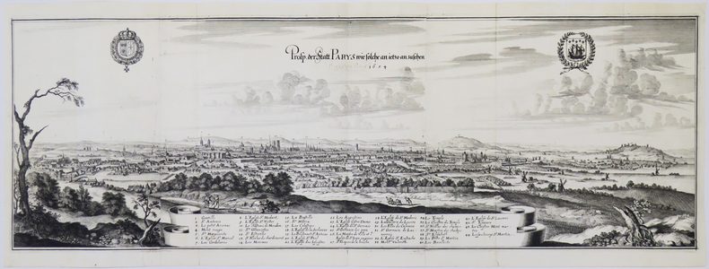
1655ref. LBW-4900[Francfort, 1655]. En trois feuilles jointes de 262 x 795 mm.
1882ref. 7917Paris, Librairie de Féchoz & Letouzey, 1882. 306 x 232 mm, (1) f. blanc, L-16 pp., 1 carte et 169 planches dont 1 carte : pl. N° 3. Reliure cartonnée restaurée, décharge et rousseurs sur premier et dernier feuillet blanc, pl. 89 : claires rousseurs dans les marges, claires rousseurs sur page de faux-titre, très bel état. COMPLET des 168 vues et 2 cartes. Bel exemplaire.
1863ref. LBW-8426Paris, Bouasse-Lebel, Édit. Imp., et Anc.ne M.on Basset réunies, [1863]. 497 x 613 mm.
1842ref. LBW-8431Paris, Langlois et Leclercq, Maison Basset, [1842]. 491 x 627 mm.
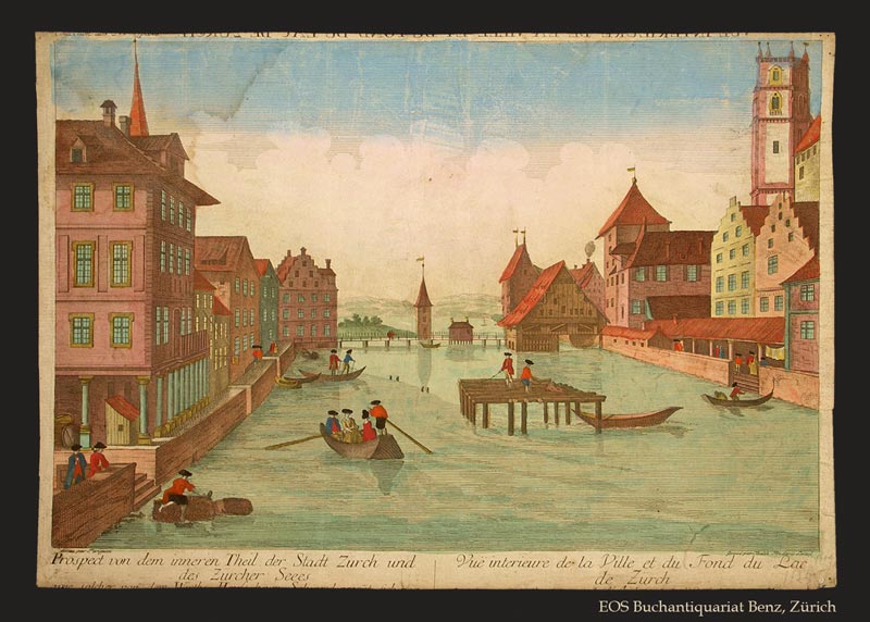
1770ref. 278BGO. O., ca. 1770. Kolorierter Kupferstich von Balthasar Frederic Leizel nach Perignan. Bildgrösse: 38 x 25 cm. Blattgrösse: 39,5 x 28 cm. + Wichtig: Für unsere Kunden in der EU erfolgt der Versand alle 14 Tage verzollt ab Deutschland / Postbank-Konto in Deutschland vorhanden +, 278BG
1869ref. LBW-89401869. En 36 sections montées sur toile et repliées, formant une carte de 1,46 x 1,04 m ; étiquette au dos de l'atelier d'Entoilage et Vernissage de Plans et Cartes Géographiques de A. Corion à Paris, successeur de H. Dorlin ; sous chemise et étui de chagrin vert, filet doré en encadrement sur les plats de l'étui, titre en lettres dorées au dos.
1496Veduta fantastica della città posta nella parte inferiore del foglio che contiene anche il testo descrittivo, tratto dal "Liber cronicarum cum figuris et umaginibus ab initio mudi usus mit temporis" rarissima edizione "tascabile" della celebre cronaca del mondo, edita ad Ausburg presso Johann Schonsperger, nel 1496. Prima edizione in tedesco dello Schonsperger. Egli abbrevia sia il testo sia il formato dello Schedel per produrre un edizione che fosse più maneggevole a commerciabile di quella di A. Koberger. "Nel 1469 venne realizzata un'edizione delle Cronaca di Norimberga in formato ridotto a cura di J. Schonsperger in cui le immagini sono copie ridotte di quelle originali ed anche i testi sono sintetizzati. Questa edizione (la seconda in tedesco) è comunque assai più rara della prima. L'editore Schonsperger è noto in quanto impiegò a Norimberga un nuovo carattere gotico chiamato Fraktur nel poema composto per la morte di Massimiliano I" (cfr. Marigliani p. 117).Silografia finemente colorata a mano, in ottimo stato di conservazione. Molto rara.BibliografiaC. Marigliani, "Le Piante di Roma delle collezioni private", n. 10. Fantastic view of the city placed in the lower part of the sheet that also contains the descriptive text, taken from the "Liber cronicarum cum figuris et umaginibus ab initio mudi usus mit temporis", the very rare "pocket edition" of the famous chronicle of the world, published in Ausburg by Johann Schonsperger, in 1496. First German edition of the Schonsperger. He shortened both the text and the format of the Schedel to produce an edition that was more manageable and marketable than that of A. Koberger. "In 1469 an edition of the Chronicle of Nuremberg was produced in reduced format by J. Schonsperger in which the images are reduced copies of the original ones and also the texts are synthesized. This edition (the second one in German) is however much rarer than the first one. The publisher Schonsperger is known because he used in Nuremberg a new gothic character called Fraktur in the poem composed for the death of Maximilian I" (see Marigliani p. 117).Woodcut, with fine later hand colour, excellent condition. Very rare.BibliografiaC. Marigliani, "Le Piante di Roma delle collezioni private", n. 10.
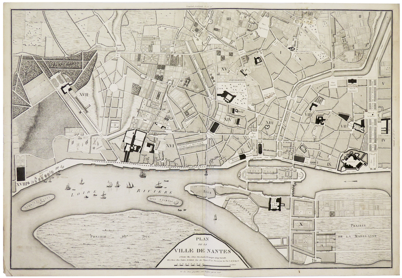
1795ref. LBW-5910Nantes, Sebire, et Paris, Coulon, An 3. de la Rép. Fr. [1795]. 490 x 707 mm.
1924ref. LBW-9019[Paris], Service Géographique de l'Armée, 1924-Août 1925 En 15 sections montées sur toile et repliées, formant une carte de 1,05 x 0,78 m ; grande étiquette au dos de la Papeterie-Librairie-Imprimerie de Louis Alary à Alger, portant le titre en manuscrit.
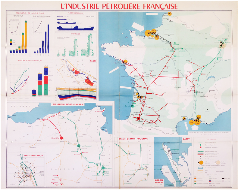
1962ref. LBW-7972Paris, Union des Chambres Syndicales de l'Industrie du Pétrole, Février 1962. 0,97 x 1,14 m.
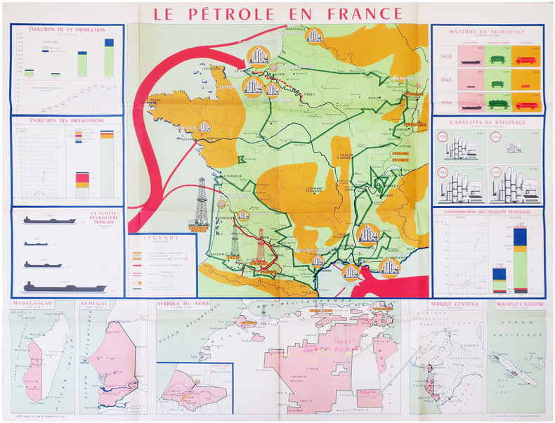
1955ref. LBW-7973Paris, Union des Chambres Syndicales de l'Industrie du Pétrole, 1955. 0,97 x 1,22 m.
1921Very Good Turkish, Ottoman (1500-1928) Original map. Oblong atlas folio. (57 x 77 cm). In Ottoman script. Folded. Stains on the upper side. Slightly chipped margins. Filistin haritasi. Scale: 1/250.000. Erkilet was an officer of the Ottoman Army and the general of the Turkish Army. In fall 1941 he, along with General Ali Fuad Erden, visited the occupied territories in Ukraine (including Crimea) on the invitation of Gerd von Rundstedt. From there he and other Turkish officers flew to Rastenburg to meet Hitler in person. In 1943 he published his essays on that trip under the title "What I Saw on the Eastern Front". Being a staunch Turanist, he was briefly detained for Panturkic activities in 1948 together with some other prominent Turanists.
1694Amsterdam, Gerardi Valk et Petri Schenk, n.d. (around 1694). 46,5 x 52 cm. Engraved map China in orig. handcolouring. Showing all the Chinese provinces, Korea and the island of Formosa in the south. Ships in the sea and cartouche with Chinese costumes. A small rupture in a border due to etching from the colour used (no loss). Left margin with a small tear, no loss. Right, very broad, margin with a tear, not reaching the image.
1783Paris, chez le Sr Desnos, (ca 1783). 46,5x64,5 cm. Engraved map of Africa with the Mediterranean Sea at north. Contemporary handcoloured. Cartouche uncoloured. A few tears showing in right grade-scale, no loss.
1694ref. 42217Amsterdam, Gerardi Valk et Petri Schenk, n.d. (around 1694). 46,5 x 52 cm. Engraved map China in orig. handcolouring. Showing all the Chinese provinces, Korea and the island of Formosa in the south. Ships in the sea and cartouche with Chinese costumes. A small rupture in a border due to etching from the colour used (no loss). Left margin with a small tear, no loss. Right, very broad, margin with a tear, not reaching the image.
1783ref. 25416Paris, chez le Sr Desnos, (ca 1783). 46,5x64,5 cm. Engraved map of Africa with the Mediterranean Sea at north. Contemporary handcoloured. Cartouche uncoloured. A few tears showing in right grade-scale, no loss.