12.289 resultados
1725Pianta della città edita da Mattheus Seutter, inclusa nel suo "Atlas" del 1730. La pianta deriva da quella di Giovan Battista Falda del 1676, della quale è una fedele ed accurata riduzione. In alto a sinistra compare il ritratto del papa Benedetto XIII (1724-30) e a destra il suo stemma. In basso a sinistra un elenco del XIV rioni ed a destra una breve descrizione della città dal titolo di Rom. Sebbene stampata intorno al 1725, probabilmente in occasione del Giubileo visto l'inserimento delle Sette Basiliche, raffigura la città intorno al 1676. L'opera infatti non contempla le innovazioni architettoniche alla città durante il pontificato di Innocenzo XII e nemmeno il Porto di Ripetta del 1704. Matthäus Seutter (1678 - 1757) fu uno dei più importanti e prolifici editori tedeschi di mappe del XVIII secolo. Attivo, come incisore sotto la tutela dell'importante J. B. Homann. All'inizio del 1700 Seutter lasciò Homann per tornare ad Augusta, dove lavorò per l'importante editore d'arte Jeremia Wolff (1663 - 1724), per il quale incise mappe e altre stampe. Intorno al 1717 fondò la propria casa editrice cartografica indipendente ad Augusta. La maggior parte delle mappe di Seutter sono pesantemente basate, se non addirittura copie, di lavori precedenti fatti dalle calcografie Homann e De L'Isle. Ciononostante, dal 1731/32 Seutter era uno degli editori più prolifici del suo tempo e fu onorato dall'imperatore tedesco Carlo VI che gli diede il titolo di Geografo Imperiale, dopo il quale la maggior parte delle mappe successive includeva la denominazione Avec Privilege. Seutter continuò a pubblicare fino alla sua morte, all'apice della sua carriera, nel 1757. Incisione in rame, tipica coloritura a mano editoriale, in ottimo stato di conservazione. Map of the city edited by Mattheus Seutter, included in his "Atlas" of 1730. The map derives from that of Giovan Battista Falda of 1676, of which it is a faithful and accurate reduction. On the upper left is the portrait of Pope Benedetto XIII (1724-30) and on the right his coat of arms. In the lower left a list of the XIV districts and on the right a brief description of the city entitled Rom. Although printed around 1725, probably on the occasion of the Jubilee given the inclusion of the Seven Basilicas, it depicts the city around 1676. The work in fact does not contemplate the architectural innovations to the city during the pontificate of Innocenzo XII, nor the Port of Ripetta of 1704. Matthäus Seutter (1678 - 1757) was one of the most important and prolific German map publishers of the 18th century. Seutter was born the son of a goldsmith but apprenticed as a brewer. Apparently uninspired by the beer business, Seutter abandoned his apprenticeship and moved to Nuremberg where he apprenticed as an engraver under the tutelage of the prominent J. B. Homann. Sometime in the early 1700s Seutter left Homann to return to Augsburg, where he worked for the prominent art publisher jeremiad Wolff (1663 - 1724), for whom he engraved maps and other prints. Most of Seutter's maps are heavily based upon, if not copies of, earlier work done by the Homann and De L'Isle firms. Nonetheless, by 1731/32 Seutter was one of the most prolific publishers of his time and was honored by the German Emperor Karl VI who gave him the title of Imperial Geographer, after which most subsequent maps included the Avec Privilege designation. Copper engraving, typical editorial hand coloring, in excellent condition. Huelsen (1915): n. 121; Marigliani, Le Piante di Roma nelle Collezioni private, pag. 235, 140.
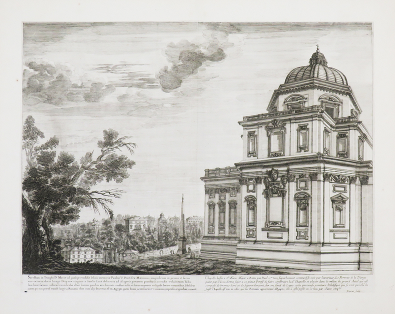
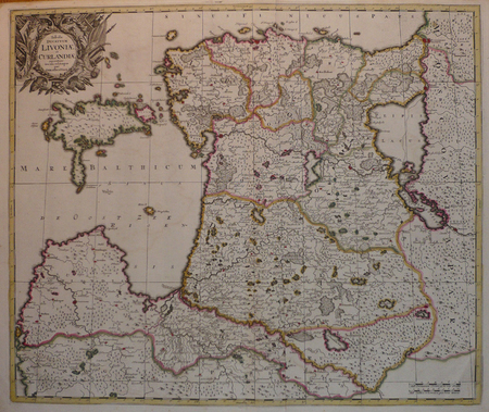
1650ref. LBW-4407[circa 1650]. 335 x 450 mm.
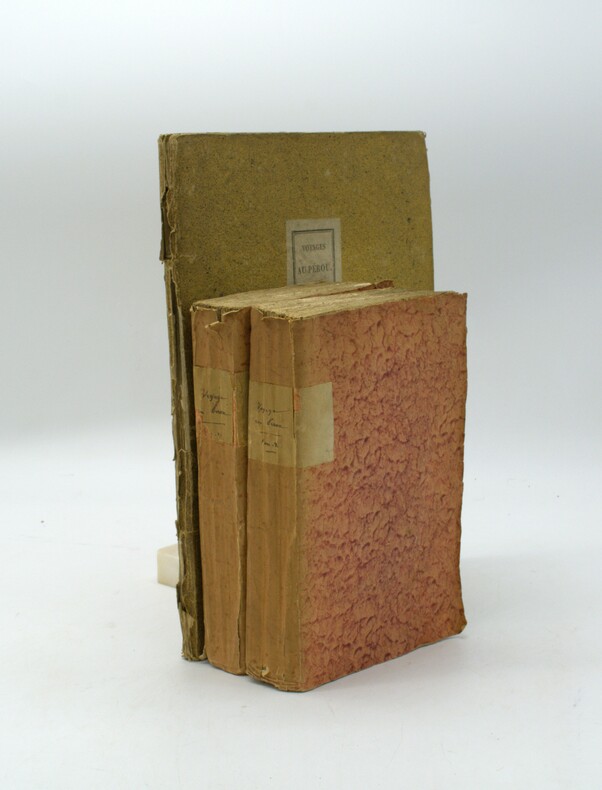
1809ref. PHO-1737Paris, J.G. Dentu, 1809. 3 volumes TEXTE, 2 vol. in-8°,[2]-xii-385, [2]-427 pp. , brochage d’attente orange, étiquette avec titre au dos, quelques frottement. ATLAS, 1 vol. in-4° (290x225),12 planches sous serpente en couleurs et une carte de Lapie, reliure d’attente, titre sur le plat, dos manquant, coutures apparentes, la carte est volante et datée de 1829, elle provient d’un autre ouvrage
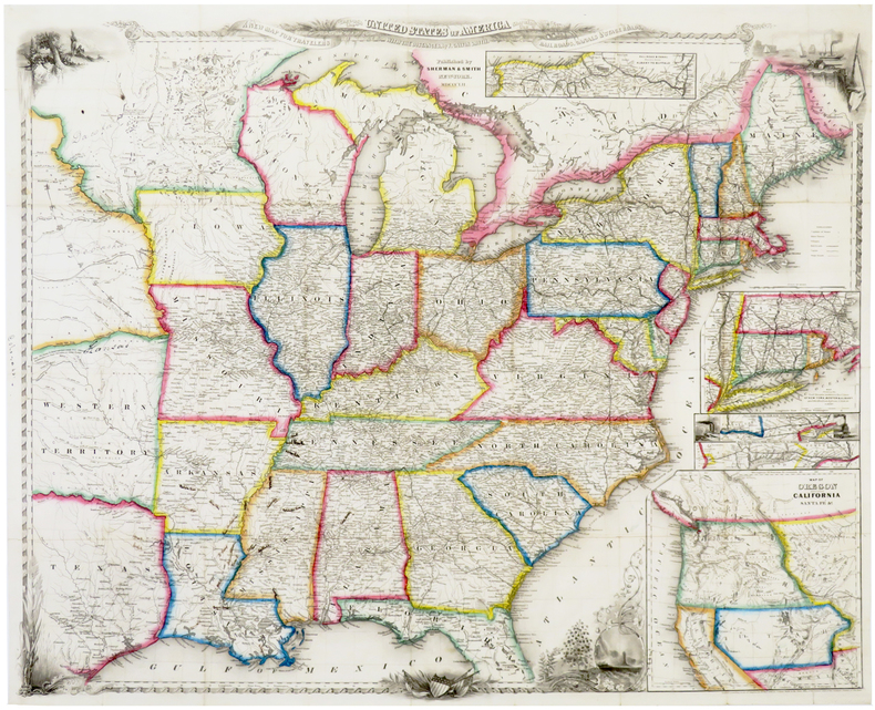
1852ref. LBW-6388New York, Sherman & Smith, 1852. 550 x 685 mm, sur papier fin.
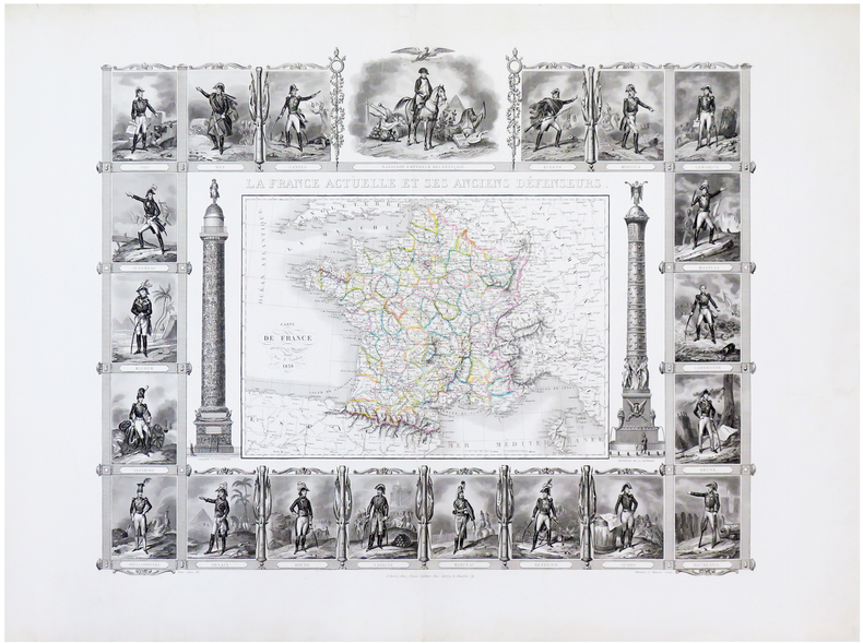
1838ref. LBW-6527Paris, Binet, 1838. 520 x 645 mm.
1740ref. LBW-4176[circa 1740]. 380 x 500 mm.
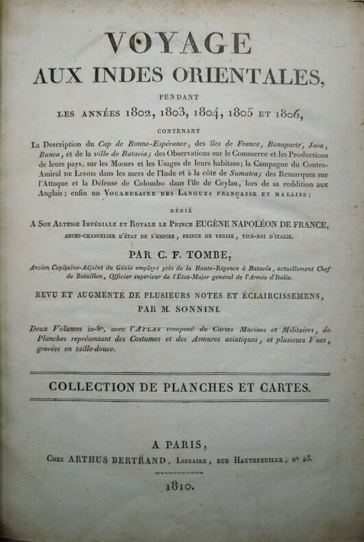
1810ref. PHO-1157Paris: Arthus Bertrand, 1810. — Atlas in-4, (295x200) (2 ff.), 18 cartes et planches , la plupart dépliantes ,relié demi veau ,dos lisse avec fers de navire , manque au dos .
ref. LBW04172Amsterdam, [circa 1700]. 487 x 578 mm.
17761 très grande carte dépliante au format 132 x 100,5 cm (en 4 feuilles jointes), frontières des provinces coloriées, portraits des rois de France gravés sur les marges verticales, Chez l'Auteur, Paris, 1776 Belle et très grande carte de France, imprimée en 4 feuilles réunies et rehaussées en couleurs à l'époque (infime fente en pliure centrale, fente avec très petit accroc sans manque sur pliure en queue, petites piqûres d'aiguille en coins). Rare. Français
1724Carte gravée au format 60 x 46 cm, Chez le Sr Danet, Gendre de l'Auteur sur le Pont Notre Dame à la Sphère Royale, 1724, à l'échelle de 500 pas communs Belle carte gravée de Rouen (une très petite brûlure, bel état par ailleurs) Français
1930ref. PHO-1046Paris : Plon, 1929. 3 grands volumes in-folio ; 354 planches dont 18 en couleurs, tables des noms et des matières. En feuilles sous chemise cartonné à lacets. Quelques rousseurs sur les feuillets de texte préliminaire.TomeI: Texte. Planches I à 66 (XVIesiècle-1826); TomeII: Planches 67 à 217 (1827-1837); TomeIII: Planches 218 à 354 (1838-1871) Les planches rassemblent plus de mille illustrations constituées par des peintures, dessins, estampes, images populaires, sculptures, médailles, représentant des portraits, vues de ville et vues du pays.
1743ref. PHO-1218La HAYE ,Jean Neaulme, 1743, deux volumes in 4° (260x210mm) reliés plein veau marbré, dos orné à 5 nerfs, pièce de titre, tranches rouges ,(2 plats détachés),coiffes arasées, coins usés, papier bruni ,Épître à Frédéric roi de Prusse imprimé en rouge et noir, XLIV-414pp./IV-192 pp., à la suite extraits de plusieurs auteurs anciens et autres pièces ,178 pp. ,orné de 12 cartes dont 9 dépliantes et 21 planches dont 5 dépliantes, une planche de musique et un fragment de la célèbre carte de Peutinger , ex-libris de Charles Kettaneh Première édition en français,
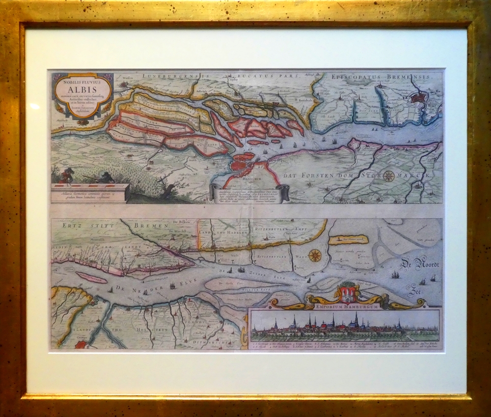
1637ref. 84923[Frankfurt am Main, Merian, 1637]. Je Darstellung 17,5 x 51,5 cm. Fachmännisch gerahmt 56,5 x 65,5 cm (Flachgoldleiste 3,5 cm breit).
1867ref. 14955Paris et Genève, Victor Masson et filles, 1867. 3 volumes in-8 de XX-464 + [4]-437-[3] + [4]-587-[4]p. pour l'errata, demi-veau brun, dos à nerfs ornés de filets et fleurons dorés, coupes et coiffes inférieures frottées, quelques rousseurs. 1 volume in-folio pour l'atlas, relié en demi-vélin blanc à coins, pièces de titre rouge au premier plat.
1778ref. 2141A Paris, Chez Panckoucke, 1778. 2 volumes in-8 de XX-540 + 526 pages, cartonnage rose à motifs, étiquette de titre noire. Mors fendus, dos et plats passés, coiffes manquantes, manques aux dos, plats tachés, coins frottés.
1785ref. 19222Paris, Chez Onfroi, 1785, 1786. 3 volumes in-8 de X-395-[3]; [2]-310; [2]-310 pages. plein veau moucheté brun, dos à nerfs ornés de filets et fleurons dorés, pièces de titre et tomaison beige, tranches rouges.
ref. GOR009968733Paperback. Acceptable. paperback
1800ref. 66391[ Dressé sur une Échelle de 31 Millimètres pour 2 kilomètres (4 Lignes pour 300 Toises), par Dom G. Coutans, Fr. bénédictin, revu, corrigé & considérablement augmenté, d'après nombre de cartes précieuses & plans particuliers, tant gravés que manuscrits par Charles Picquet, géographe-graveur ; dédié & présenté au premier Consul Bonaparte ] 4 cartes entoilées dépliantes, format de chaque carte : 123 x 78 cm, format total de l'ensemble réuni : 256 x 156 cm, sous étui cartonné ancien ouvert à dos de bois (format 33,7 x 22 cm), Chez Ch. Picquet, Palais Egalité, Galerie de Bois, n° 254 bis, s.d. [circa 1800 ]
1839ref. 715771 carte dépliante en entoilée en couleurs, format 44 x 75 cm sous chemise cartonnée avec liste de repérage, Engraved & Published by J. Cross, 18, Holborn opposite Furnival's Inn. J. Cross, London, 1839
Altkolorierter Kupferstich. Großfolio. Schöne altkolorierte Doppeldarstellung von Erd- und Himmelsglobus mit ausführlicher Beschreibung in deutsch-lateinischem Paralleltext.
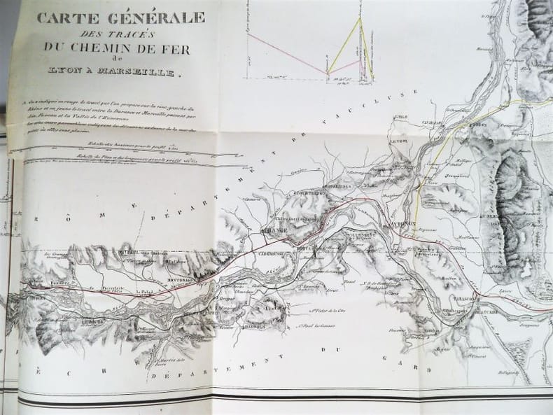
1837ref. 2321Paris, Imprimerie Royale, 1837. In-4 – 22,5 x 29 cm. Broché. 172 pages, 1 carte dépliante en 2 parties. Edition originale. Ouvrage complet de sa grande « Carte Générale des tracés du Chemin de Fer de Lyon à Marseille » très détaillée (150 x 57cm). On découvre le tracé proposé sur la rive droite du Rhône, rehaussé en vert, et celui sur la rive gauche du Rhône, rehaussé en rouge, les deux se rejoignant à Tarascon puis poursuivant par Arles et les Martigues. Un tracé alternatif de la rive gauche, rehaussé en jaune, entre la Durance et Marseille, envisage une bifurcation à partir d’Avignon en passant par Orgon, Salon, Aix, Fuveau, Aubagne et la vallée de l’Huveaune. Mathurin François Kermaingant (1779-1856) est un ingénieur originaire du Nord de la France. Il intègre l'école des Ponts et Chaussées en 1800. Quatre ans plus tard, il est affecté au service de route de la Drôme. Il quitte ce département pour celui du Rhône en 1810, puis y revient en 1821, pour 3 années. C'est dans la Sarthe qu'il poursuit sa carrière à partir de 1824. A la demande du gouvernement, il pilote la commission d'étude sur un futur chemin de fer dans la vallée du Rhône en 1833. Il suggère de nombreuses variantes de tracés. En 1836, il est nommé ingénieur en chef. Il quitte le sud de la France puis s'occupe du chemin de fer de Paris à Versailles.
1728ref. PHO-1369Paris, veuve Coustelier, 1728, In-4, XIV-2ff.-514pp.-4ff.(table), illustré d’un frontispice et de 2 cartes dépliantes , relié plein cuir époque , dos à nerfs avec pièce de titre ,cachet, reliure frottée , charnières fendues, coins et coiffes usés .
1740ref. 161351740 570 x 650 mm. Carte sur cuivre, coloris ancien. Augsbourg Seutter ca. 1740.
1774PRIMA EDIZIONE del mappamondo di Zatta con i due emisferi, edito a Venezia ne 1774.La mappa riporta le scoperte, allora recenti, del capitano Cook, successive a quelle in Australia e Nuova Zelanda. Di notevole interesse anche la cartografazione aggiornata della costa nord-occidentale dell'America, inclusa l'area del Pacifico. Di grande impatto decorativo, la carta è arricchita ai lati con quattro figure allegoriche dei quattro continenti. Carta geografica tratta dall’Atlante novissimo, illustrato ed accresciuto sulle osservazioni e scoperte fatte dai più celebri e più recenti geografi. Stampato in quattro volumi da Antonio Zatta tra il 1779 ed il 1785. Atlante fra i più belli e completi mai pubblicati in Italia nel XVIII secolo, l'opera più famosa dello Zatta. L’Atlante Novissimo, come si specifica anche nel titolo, è “accresciuto sulle osservazioni scoperte fatte dai più celebri e più recenti geografi”. Tra le novità più significative vi è la comparsa delle nuove isole scoperte nell'Oceano Pacifico da James Cook e la prima carta italiana della Nuova Zelanda. Le illustrazioni furono ideate e disegnate dai suoi collaboratori Giovanni Marco Pitteri, Anton Friedrich Busching, Pietro Antonio Novelli ed incise da Giuliano Zuliani. Il primo tomo dell’atlante è introdotto da un breve saggio di geografia generale dove l’autore definisce in modo sintetico e preciso gli elementi che compongono i reticoli eclittico ed equatoriale usati nelle tavole. Interessante la sezione dove si sofferma a descrivere il fenomeno della precessione degli equinozi e quello della variazione ciclica dell'obliquità dell'eclittica. Acquaforte, stampata su carta vergata coeva, coloritura coeva dei contorni, in buone condizioni. First edition of Antonio Zatta's decorative double hemisphere map of the World, published in Venice in 1774.Includes allegorical vignettes of the 4 continents, embellishing the outer corners.The map depicts the recent discoveries of Captain James Cook, immediately following his discoveries in New Zealand and Australia.The depiction of New Zealand is especially fascinating.The map also includes interesting updated cartographic details along the Northweast Coast of America, including the Sea of the West. Map from the Atlante novissimo, illustrato ed accresciuto sulle osservazioni e scoperte fatte dai più celebri e più recenti geografi. Printed in four volumes by Antonio Zatta between 1779 and 1785. Atlas among the most beautiful and complete ever published in Italy in the eighteenth century, the most famous work of Zatta. The Atlante Novissimo, as also specified in the title, is “increased on the observations made by the most famous and most recent geographers”. Among the most significant innovations there is the appearance of the new islands discovered in the Pacific Ocean by James Cook and the first Italian map of New Zealand. The illustrations were designed and drawn by his collaborators Giovanni Marco Pitteri, Anton Friedrich Busching, Pietro Antonio Novelli and engraved by Giuliano Zuliani. The first volume of the atlas is introduced by a brief essay of general geography where the author defines in a concise and precise way the elements that make up the ecliptic and equatorial grids used in the tables. Interesting is the section where he pauses to describe the phenomenon of precession of the equinoxes and the cyclical variation of the obliquity of the ecliptic. Etching, printed on contemporary laid paper, contemporary outline coloring, in good condition.
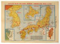
1945ref. 208877Chicago.: Chicago Daily Tribune. August1945. Printed colour pictorial map on a single newspaper leaf 37 x 52 cms; 43 x 59.5 cms sheet three inset maps archivally laid down on linen very good condition. Full page map published in the "Chicago Daily Tribune" after the bombing of Hiroshima and Nagasaki prior to occupation by US and Allied forces in September 1945. "This is a new map of the main islands of Japan where American occupational troops will land and establish their military rule." map text The legend notes "Places bombed by U.S. Air Forces with a red circle" and "Cities bombed by Atomic Bomb" with a red star. The main map shows the Japanese islands of Honshu Shikoku and Kyushu with the Korean peninsula. Inset maps show Hokkaido Formosa and a general map of the area. . Chicago Daily Tribune. unknown