Hinz, EarlMareMagnum

12.365 resultados
1986Book is in excellent condition, appears unread. Binding is solid and square, covers have sharp corners, exterior shows no blemishes, text/interior is clean and free of marking of any kind. Dust jacket shows the slightest signs of shelf wear, some edge wear, two tears < 1". 309 pages, heavily illustrated with charts, diagrams, maps, tables, b&w photos. Contents include: loads at anchor, Deck gear for anchors, Anchor winlass Anchor rodes, Anchor options, Anchor and rode selection, Human factors in anchoring, Techinque of anchoring, Anchoring tricks, ( ways to stop anchor dragging, Setting tandem anchors, Rowing out and anchor, Kedging, the buoyed-anchor rode, Stern anchoring, Side bridle, Use of a drougue in a current, etc. ) Rights and responsibilities, Storm anchoring, Permanent moorings, etc. Copyright 2011 Pistil Books
1911168p. + Large color folding map and numerous advertisements, many illustrated. Numerous full page photographs of buildings. Slight soiling on first leaf. Small 8vo. Original green decorated printed wraps, spine and rear cover have old tape repairs. Covers worn. PA PAMPH 20_13 BX5
1987ref. 99389[Braunschweig, Archiv-Verlag, 1987). 1 mehrfach gefalt. farb Plan (Blattgröße 41 x 53,5 cm, Bildgröße 37,5 cx 47,5 cm).
ref. 9782845235882(Ref.: Ref98933)
Format (Bildbereich): 24 x 20,5 cm. Sauber und gut erhalten. Landkarten de
Format (Blattgröße): 16 x 22 cm. Leicht gebräunt, insgesamt gut erhalten. Landkarten de
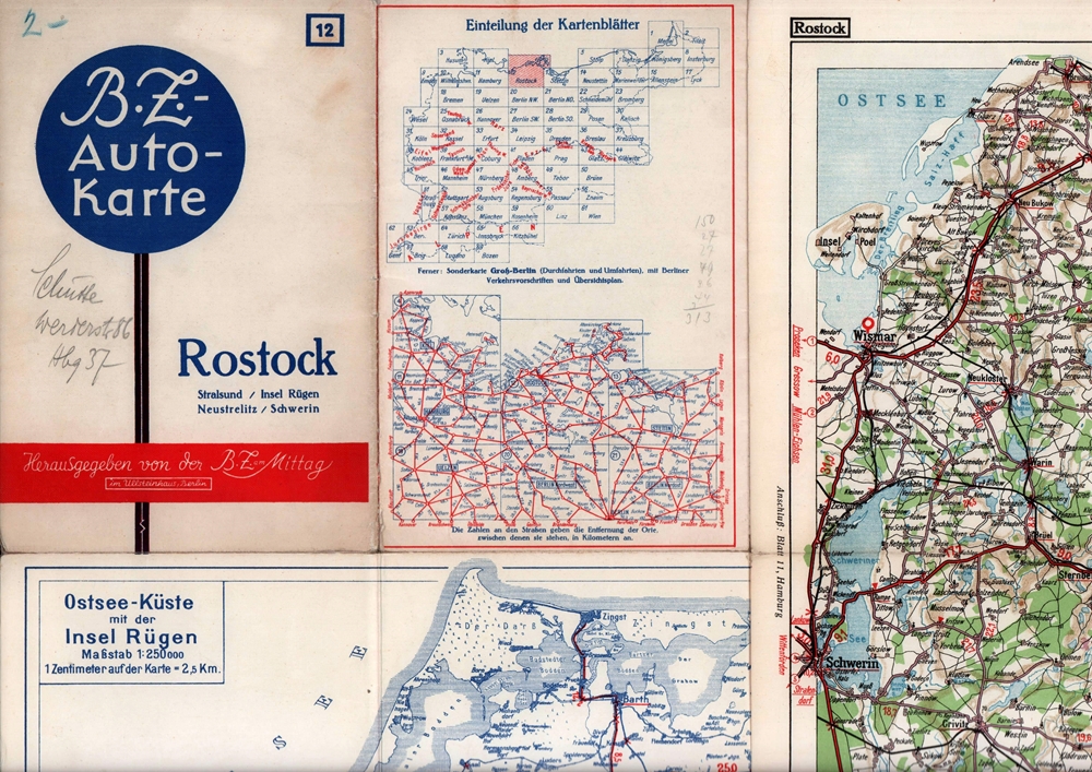
1939ref. 88285Berlin, Berliner Zeitung am Mittag, 1939]. Mehrfach gefaltete, farbige Karte, auf Leinen kaschiert. Maßstab 1: 250.000. Kartenmaß: 38,8 x 55 cm, Blattmaß: 43 x 57,8, Falzmaß 21,8 x 14,7 cm.
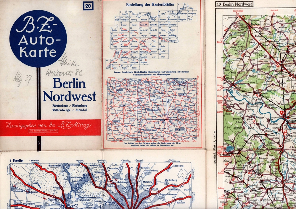
1939ref. 88286Berlin, Berliner Zeitung am Mittag, [ca. 1939]. Mehrfach gefaltete, farbige Karte, auf Feinkarton. Maßstab 1:250.000. Kartenmaß: 64,5 x 86,5 cm. Falzmaß 21,8 x 14,7 cm.
Format (Bildbereich): 19 x 26,5 cm. Leicht gebräunt, insgesamt gut erhalten. Landkarten de
Blattgröße ca. 30 x 25 cm. Leicht gebräunt, insgesamt gut erhalten. Landkarten de
Format (Bildbereich): 21 x 26 cm. Leicht gebräunt, insgesamt gut erhalten. Landkarten de
ref. 40786Paris Librairie Charles Delagrave, sans date (vers 1910) 1 carte routière ancienne, imprimée en couleurs, sous couverture illustrée. Feuille: GAP-CONI, de format : 42,5 x 101 cms, de la France en 47 feuilles. Carte au 200.000e. Bel exemplaire ( Photographies sur demande / We can send pictures of this print on simple request )
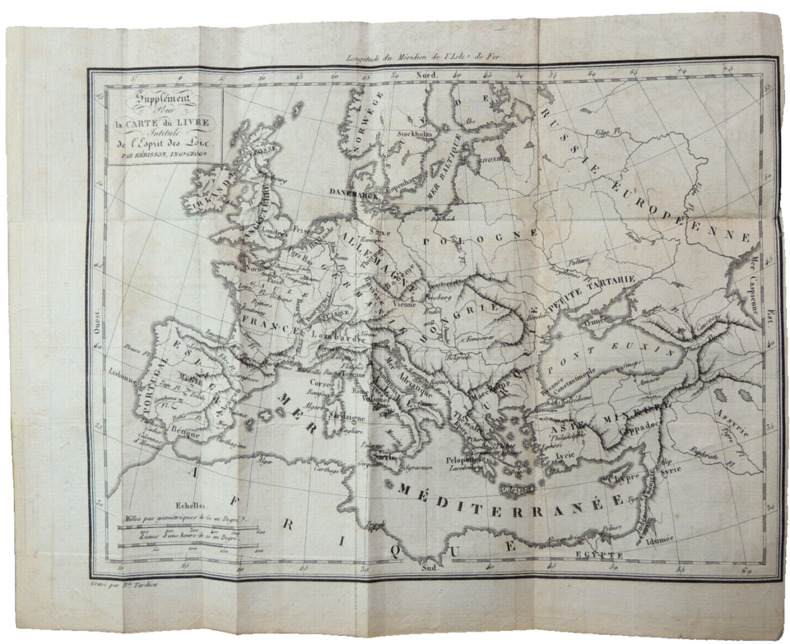
1820ref. CZC-12717format 24x19cm, bel état, vers 1820 ref/classeur 5
1820ref. CZC-12717format 24x19cm, bel état, vers 1820 ref/classeur 5
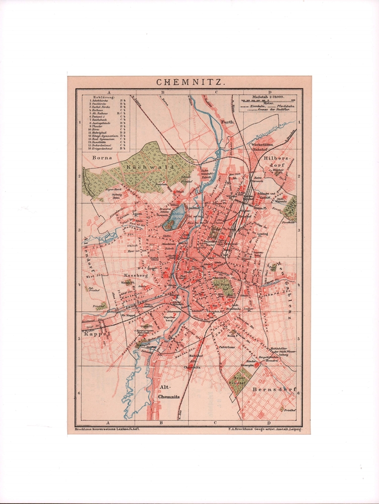
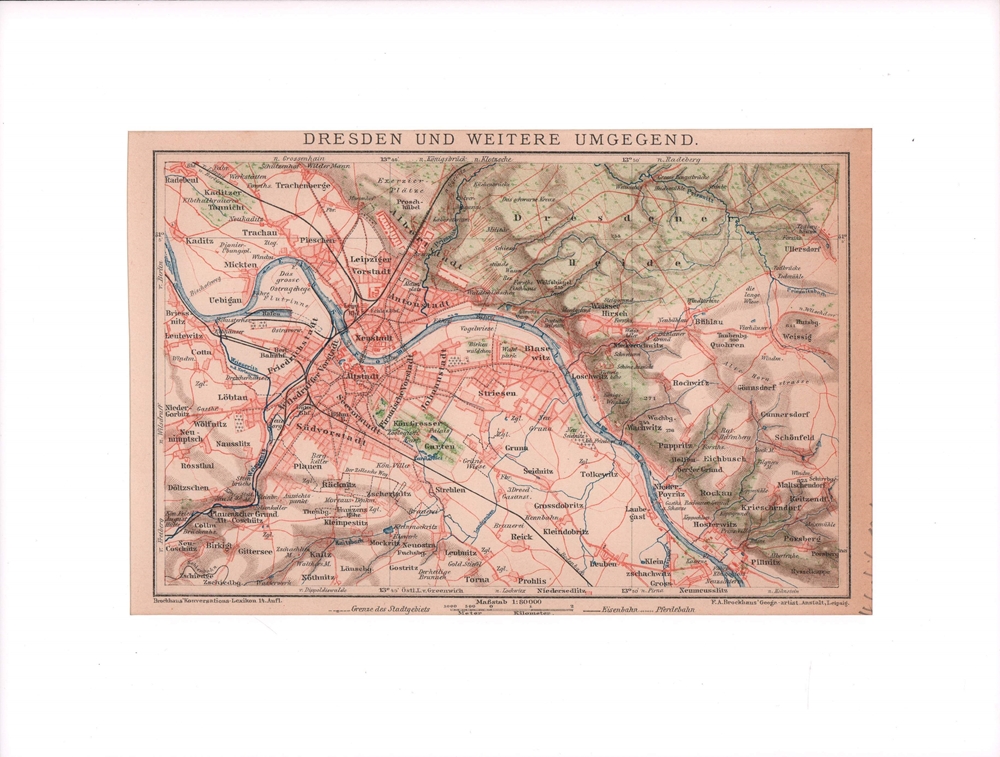
1900ref. 76502Leipzig, F. A. Brockhaus, [ca. 1900]. Bildgröße 19 x 12,5 cm. Unter Feinkartonpassepartout.
ref. 9782845227143Carte postale ancienne | Etat : Bon état général, frottements (Ref.: ref97080)
Format (Bildbereich): 19 x 26 cm. Leicht gebräunt, insgesamt gut erhalten. Landkarten de
Blattgröße ca. 30 x 25 cm. Leicht gebräunt, insgesamt gut erhalten. Landkarten de
Format (Bildbereich): 21 x 26,5 cm. Leicht gebräunt, insgesamt gut erhalten. Landkarten de
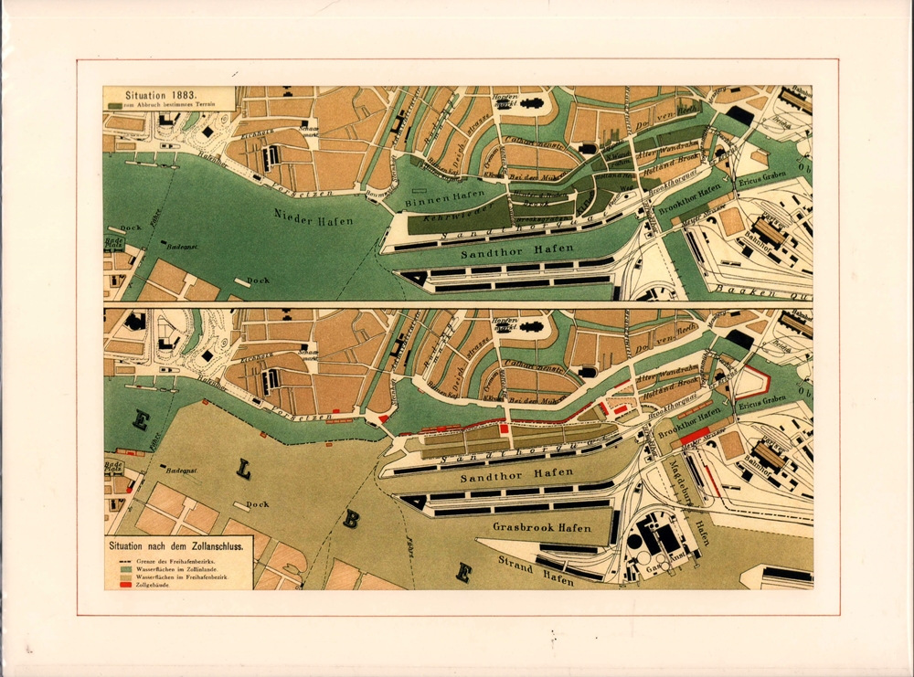
1883ref. 90982Hamburg, [ca. 1883]. Bildmaß 20 x 28 cm. Unter Flachpassepartout (26 x 37 cm).
1921ref. 90083Hamburg, L. Friedrichsen, 1921. Mehrfach gefalt., einseitig bedruckter farbiger Plan im Maßstab 1: 25.000, mit 1 eingeschalteten Plan von Cuxhaven mit Amerikahafen und Fischereihafen. Blattgröße 32 x 56 cm, Bildgröße 25,5 x 55 cm.
1923ref. 56816Hamburg, J. Köhler, 1923. 1 lithograph. farb., mehrf. gefalt. Kte. im Maßstab 1:75.000. Ca. 31 x 89 cm. In 16 Segmenten auf Leinen aufgezogen. In HLn.-Schuber (ca. 16 x 12,5 cm).
Format (Blattgröße): 25,5 x 19,5 cm. Minimal gebräunt, gut erhalten. Leicht gebräunt, insgesamt gut erhalten. Landkarten de
Format (Bildbereich): 24 x 20,5 cm. Leicht gebräunt, insgesamt gut erhalten. Landkarten de
1900ref. 76498Leipzig, F. A. Brockhaus, [ca. 1900. Bildgröße 13 x 21,5 cm. Unter Feinkartonpassepartout.