AUN WEOR, Samaël (Victor Manuel Gomez Rodriguez)Livre Rare Book
12.514 resultados
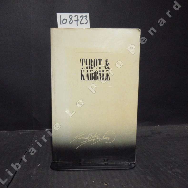
1988ref. 1087231988 Editions Thoth - 1988 - In-8, broché - 406 p. - Quelques illustrations in-texte en N&B
1950ref. 2221950 couv in-8, carte en coul (limite de département, d'arrondissement, de canton), échelle 1/167000, bé, ~ 1920 éd géographique andré lesot,
1950ref. 2231950 couv in-8, carte en coul (limite de département, d'arrondissement, de canton), échelle 1/247000, bé, 1920 éd géographique andré lesot,
ref. 14851Paris C. Marpon, E. Flammarion In-12 Fort III+335+12 pp, (.) Plus de 200 jeux, 150 dessins. Rousseurs et mouillures éparses, titre doré et décors sur dos percaliné, mouillures et rousseurs sur l'ensemble du cartonnage. Catalogue éditeur in-fine.
ref. 91156Paris, Comité pour l'Histoire Economique et Financière de la France, 2008. 16 x 22, 423 pp., quelques cartes, graphiques et illustrations, broché, très bon état.
ref. 91154Paris, Conservatoire des Arts et Métiers, 1953. 15 x 23, 146 pp., 79 figures, broché, bon état (cachet d'ex-propriétaire).
1996ref. 41991996 broché (paperback) grand in-octavo, dos blanc (white spine), première de couverture illustrée en couleurs (front cover illustrated in colours), illustrations : bien documenté (well-documented), 256 pages, 1996 à Paris Editions Trajectoire,
ref. 36713Strasbourg, Editions du Spectacles, 1984. 15 x 22, 91 pp., 135 figures, broché, bon état.
1981ref. 796011981 Paris, Editions de l'Amateur, 1981, in 4°, cartonnage illustré de l'éditeur, 239 pages ; importatne iconographie.
1910ref. 9471910 chemise cart. éd. in-12, d. rouge passé, etiquette éd. collée / 1er pl., carte en coul., col. à gauche : légende des signes et à droite col. : statistique et renseignements divers, gaultier éd.,atlas des départements de la france - région de l'ouest n ° 70 - gravée par dyonnet et bénard, rectifiée par grangez - fin 19è siècle -
1950ref. 9361950 rel. toil. rouge in-12, d. passé, étiquette éd. / 1er pl., carte en coul. avec les armes de caen, région nord n ° 15, carte imprimée par monin, revue et rectifiée par grangez, et gravée / acier par laguillermie et abel malo - s.d. - atlas des départements de france
1956cm. 13,5 x 22, 64 pp. con 51 ill. 131 gr. 64 p.
ref. 16913Paris Henri Veyrier 1975 in 4 oblong (30 X24) 1 volume broché, 87 pages, avec plus de 250 reproductions en couleurs et en noir et blanc de cartes postales de la belle époque. Bel exemplaire ( Photographies sur demande / We can send pictures of this book on simple request )
ref. 2764Carte gravée par LAGUILLERMIE et RAINAUD ,extraite de l'Atlas National illustré des 86 départements et des possessions de la France' divisé par arrondissements, cantons et communes avec le tracé de toutes les routes, chemins de fer et canaux. Dressé d'après les travaux du cadastre du dépôt de la guerre et des ponts et chaussées par V. LEVASSEUR ingénieur
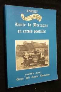
ref. mc654Edition Joël Garcia Broché In-4, (30.5x21.5 cm), broché, couverture illustrée, 114 pages, sans date, cartes postales anciennes en noir et blanc ; usures sur les bordures, plats légèrement défraîchis, bon état général. Livraison a domicile (La Poste) ou en Mondial Relay sur simple demande.
1943Clean map with two panes a little dusty, four inch tear along one fold and small holes to a few folding corners. 1pp. Linen-backed folded contour map dated 1943 opens up to 25 x 31 inches. Scale given on front cover of 1:6,000,000 is corrected inside as being 1:1,600.000. Date 1943 printed on lower map corner. Scarce.
1925Folding map on paper, coloured in outline, measuring 26.0 x 22.0 ins (approx. 66.0 x 55.5 cms) folding in 20 panels to 7.25 x 5.0 ins (apporox. 18.5 x 12.5 cms); pictorial wrappers, yapped edges, a near fine copy. SCARCE.
1923Folding coloured map on cloth measuring 22.0 x 28.5 ins (approx. 56.0 x 72.0 cms) folding in 21 panels to 7.5 x 4.25 ins (approx. 19.0 x 11.0 cms), small neat contemporary signature on front wrapper else a very good, bright, clean copy. The famous Popular Edition One Inch series was first published in 1919 with striking 'hiker' artwork by Ellis Martin. The present copy is the 1923; the covers are the dark red and black variant with location map. Browne, 11.2.a
1925Folding coloured map on cloth measuring 22.0 x 28.5 ins (approx. 56.0 x 72.0 cms) folding in 21 panels to 7.5 x 4.25 ins (approx. 19.0 x 11.0 cms), covers lightly dust-soiled else a very good, bright, clean copy. The famous Popular Edition One Inch series was first published in 1919 with striking 'hiker' artwork by Ellis Martin. The present copy is the 1925 revision; the covers are the dark red and black variant with location map. Browne, 11.2.a
1919No added marks or inscriptions. Linen-backed map in excellent bright condition, not torn. Covers lightly marked and creased. 1pp. One-inch to one mile Ordnance Survey map of Wiltshire around Salisbury, Bulford and surrounding district published in 1919. Opens up to 22 x 30 inches. Extremely scarce.
1925Folding coloured map on cloth measuring 22.0 x 28.5 ins (approx. 56.0 x 72.0 cms) folding in 21 panels to 7.5 x 4.25 ins (approx. 19.0 x 11.0 cms), covers lightly dust-soiled else a very good, bright, clean copy. The famous Popular Edition One Inch series was first published in 1919 with striking 'hiker' artwork by Ellis Martin. The present copy is the 1925 revision; the covers are the dark red and black variant with location map. Browne, 11.2.a
1914Well used lightly tanned map with damp effect to rear only, no corresponding marks to actual map. No added marks or inscriptions. Not torn but well rubbed at all fold corners. 1pp. Hill-shaded half-inch to one mile Ordnance Survey map of Brighton and surrounding district published in 1914. Opens up to 21 x 30 inches. Extremely scarce.
1987Twelve full-page colour prints in a rigid portfolio folder. Presentation plate to Tom Pendry (now Lord Pendry) inside front cover. No marks or inscriptions and no creasing to covers. Very clean prints in unmarked portfolio. 14pp. Photographic images of the USA Capital City including the White House, the Washington Monument, the Lincoln and Jefferson Memorials, the ceiling of the Capitol Rotunda, the Supreme Court building and the National Gallery of Art. Scarce in the UK.
1939No marks or inscriptions to contents. Very minor creasing to some corners. Clean tight pages with very slightly marked dusty boards, rusty staples and no bumping to corners. With eight attached fold-out coloured maps of major tourist areas in Britain and Ireland in very good condition. 84pp. With forty itineraries of 7 to 14 day Tours in England, Scotland, Ireland and Wales, forty sketch maps and eighty illustrations.
ref. CWE42RT