12.070 resultados
Hardcover petit in-4 de 203 pages, nombreuses photos in-t, cartonnage illustre, jaquette rhodoide. Bel exemplaire. [P-28]
ref. 26421Feuillet illustré, nominatif, au format 16 x 22.
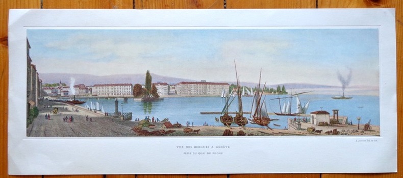
ref. 641Jolie reproduction d'une vue de Genève au format 42 x 18 cm (feuille), légendée, contrecollée dans une cuvette. Légères traces de pli aux coins.
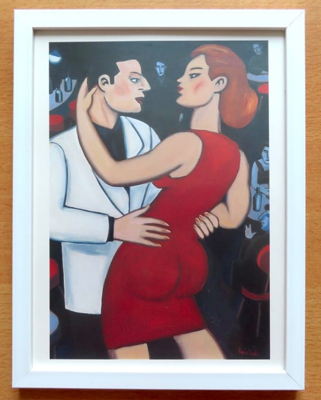
1993ref. 26695Paris, Christian Desbois, 1993. Reproduction d'une huile sur toile de Loustal, sous cadre au format 20 x 26 cm.
2013ref. 25772Genève, Editions Notari 2013. In-4 fin, très fin, à l'état de neuf, sous emballage d'origine.
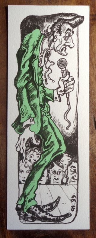
1999ref. 20061999. Sérigraphie au format 8 x 22 cm., à l'état de neuf. Non signée.
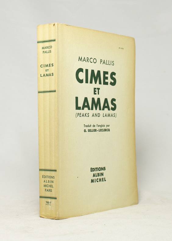
1955ref. 16668Paris, Editions Albin Michel, 1955. In-8 broché de 334-[2] pages, couverture imprimée.
1980Vintage but comprehensive, well illustrated guide to modern Greece for visitors.Vintage but comprehensive, well illustrated guide to modern Greece for visitors. Book
1953Published the year 'branded petrol' was allowed again after the war. 770 pages.
1975No marks or inscriptions. A very clean very tight copy with bright unmarked boards and no bumping to corners. Dust jacket not price clipped or marked or torn or creased with the tiniest of nicks to top of spine. 436pp. Fully revised new edition of Arthur Mee's classic series.
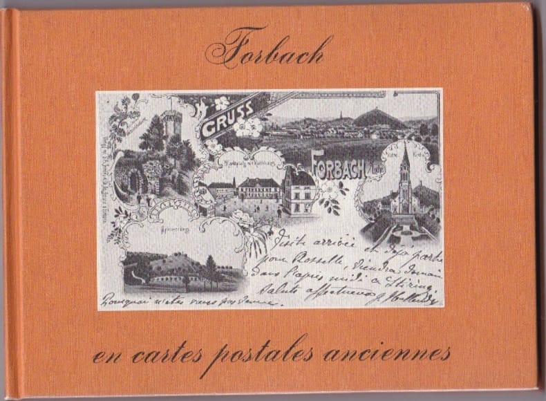
1980ref. RES10L74Pays Bas Bibliotheque Europeenne 1980 In 12 Oblong Non paginé - env. 80 pages - cartonnage editeur illustré - trés nombreuses reproductions de CPA - bel etat
1987ref. 55178[Braunschweig, Archiv Verlag, 1987). 1 mehrf. gefalt. farb. Karte, Blattgröße ca. 69 x 52,5 cm.
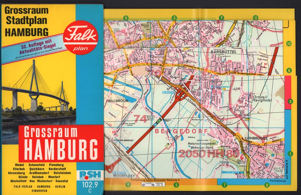
1991ref. 71281Hamburg, Falk-Verlag, 1991. Farbiger Straßenplan mit Patentfaltung in Hyperboloid-Projektion mit Kilometernetz. Im gleit. Maßstab 1:17.000-1:40.000. Mit 82 S. Straßenverzeichnis u. Schnellbahnnetz. Blattmaß 82 x 116 cm. Deckel 23,5 x 13 cm. OKart.
1990ref. 71280Hamburg, Falk-Verlag, 1990. Farbiger Straßenplan mit Patentfaltung in Hyperboloid-Projektion mit Kilometernetz. Im gleit. Maßstab 1:17.000-1:40.000. Mit 75 S. Straßenverzeichnis u. Schnellbahnnetz. Blattmaß 82 x 116 cm. Deckel 23,5 x 13 cm. OKart.
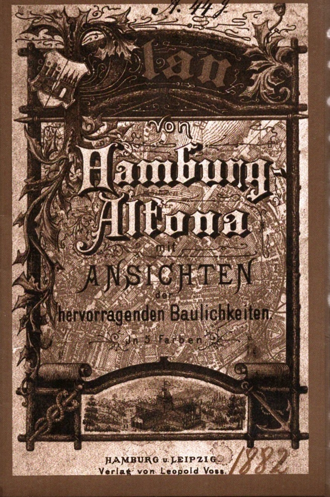
1985ref. 71233(Braunschweig, Archiv-Verlag), [ca. 1985]. 1 mehrf. gefalt. getönter lithograph. Plan, Blattmaß 51,6 x 69 cm. In neuem illustr. Umschlag. Deckel 17 x 11,5 cm.
1957ref. 88245Hamburg, Falk-Verlag, 1956/1957. Mehrfach gefalt. farbiger Straßenplan. [Maßstab ca. 1:20.000]. 37 x 37 cm Kartenmaß 37 x 37 cm. Blattgröße 40 x 39,5 cm. Gefaltet 20 cm. Beidseitig folienkaschiert.
in-8 de 294 pages imprimees en 2 couleurs, nombreuses figures in-t, lexique, index, cartonnage illustre plastifie. Bel exemplaire. [NV-8]
1998ref. 20365Jean-Cyrille Godefroy, JCG/SELD 1998 In-8, broché couv. illustrée, photographies et croquis en n. & b., 148 pp. Bon état d’occasion.
1996ref. 19836Editions Atlas/Editions Atlen, Belgique/Eaglemoss Publication 1996 In-4, cartonnage illustré, photographies et schémas en couleurs, 127 pp. Etat neuf.
1999ref. 12727Seguier (Atlantica) 1999 In-8 broché. 115 pages. Très bon état d’occasion.
1919ref. 1239471919 Le Pays de France, Paris - 1919 - In-8, broché - 160 pages - Contient "36 cartes et plans et un curieux graphiques de la guerre" - "Ouvrage destiné spécialement aux touristes qui voudront visiter et suivre les opérations sur les champs de bataille. "
1835Une feuille 89x64 cm.
1994ref. 1260251994 Litos / Roma - Stato Maggiore dell'Eservito, Ufficio Storico - 1994 - In-4 relié, sous jaquette illustrée - 203 pages - Nombreuses illustrations en couleurs, in et hors texte, dans l'ouvrage - Texte en italien
ref. 93575sd Editions Ch. Massin - Sans date - In-4 cartonnage toile rouge de l'éditeur avec titre en blanc sur le premier plat, jaquette illustrée - 64 pages - Nombreuses reproductions photographiques en couleurs in-texte