Livre Rare Book
11.756 resultados
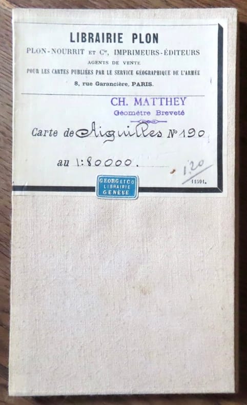
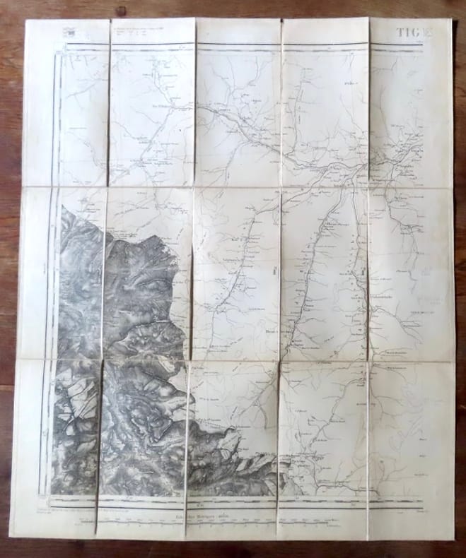
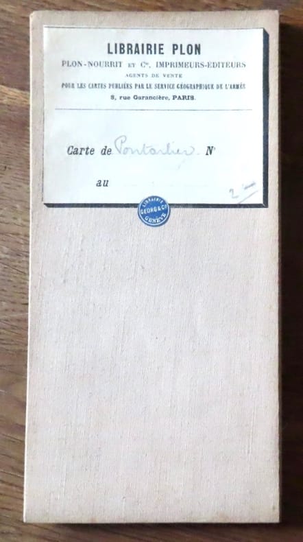
1800ref. 18272Paris, Librairie Plon / Plon, Nourrit et Cie. 1800 Carte au 1/80'000, entoilée, au format ouvert de 49 x 59 cm., vignette de la Librairie plon contrecollée au premier plat.
ref. 18273Paris, Librairie Plon / Plon, Nourrit et Cie. Carte au 1/80'000, entoilée, au format ouvert de 46 x 32 cm., vignette de la Librairie plon contrecollée au premier plat. Tampon de géomètre.
1800ref. 18276Paris, Librairie Plon / Plon, Nourrit et Cie. 1800 Carte au 1/80'000, entoilée, au format ouvert de 49 x 59 cm., vignette de la Librairie plon contrecollée au premier plat. Tampon de géomètre, un autre de libraire. En belle condition.
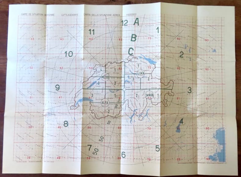
1963ref. 18438Berne, Service topographique fédéral / Eidg. Landestopographie / Servizio topografico federale, 1963. Carte au 1:1.000.000, au format ouvert de 78 x 57 cm. En belle condition
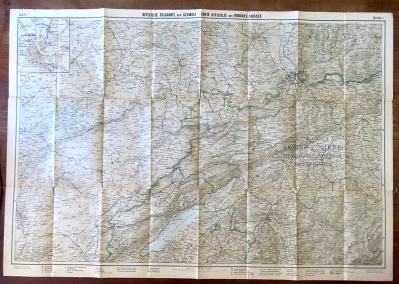
ref. 18439Berne, Département des douanes suisses / Zollderpartement - Kümmerli & Frey, sans date. Carte entoilée au 1:200.000, au format ouvert de 93 x 65 cm.
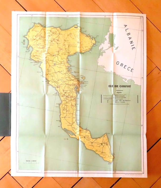
ref. 19035Corfu, The greek graphic arts ltd / G. Aspiotis Brothers, sans date. Carte au format 53 x 64, sous couverture imprimée. En belle condition.
1988ref. M1643871988 CARTES ANCIENNES DE BRETAGNE. Collection présentée par l' association "Saint Malo et la mer ". Tour des dames ,octobre-novembre 1988. In4° broché. Edition tapuscrite. Trace très discrète d'une ancienne pliure .
1905ref. 88148Hamburg, O. und R. Enoch, [ca. 1905]. Farbiger, lithograph. Faltplan (verso s/w Druck). Blattmaß: 62 x 70,5 cm, Kartenmaß 60 x,69 cm, gefaltet 16 x 9,5 cm. OKart.
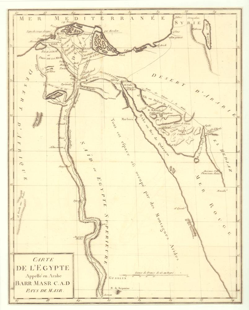
1787ref. 81418[Paris, 1787]. 32,5 x 26 cm.
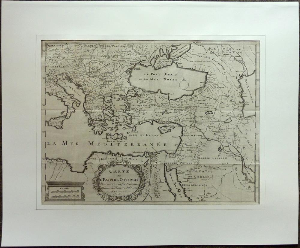
1709ref. 81229La Haye [Den Haag], T. Johnson, 1709. 33,5 x 44,5 cm. Unter Passepartout.
1830ref. 009582Paris - 21 Quai Voltaire: Rosselin 1830. Map. Fine. Map. A fine map hand-coloured in outline folding into original marbled paper boards with title label to the front board. Boards rubbed conrners worn. The map measures 74 x 55cm and is in very good condition with the paper bright. A very good to fine copy of this rare map. Rosselin hardcover
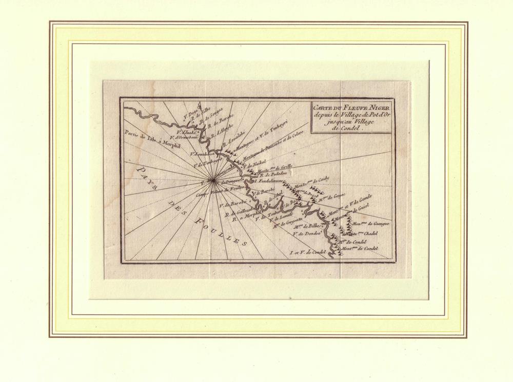
1789ref. 81634[Amsterdam / Paris, Maradan, 1789]. Bildgröße 8 x 13,5 cm, Blattgröße 10 x 15 cm. Unter Passepartout.
1789ref. 81620[Amsterdam / Paris, Maradan, 1789]. Bildgröße 8,5 x 14 cm, Blattgröße 10,5 x 17 cm. Unter Passepartout.
Paris, Edit. SCAP, 1946. Mapa topográfico excursionista. Escala 1: 50.000. En français. Muy buen ejemplar.
19561cm to 2km. eng
19571cm to 2km. eng
1818ref. 146180Paris, Picquet, 1818-19, 1818. Blattgröße 69cm x 100cm, Kartenansicht 32 x 25cm,
1818ref. 146181Paris, Picquet, 1818-19, 1818. Blattgröße 69cm x 100cm,
Vernet les Bains, Edit. Syndicat d'Initiatives Vernet-les Bains, c.1954. Mapa topográfico desplegable y entelado. 1/20.000. Firma antiguo proopietario. Buen ejemplar. Livre en français.
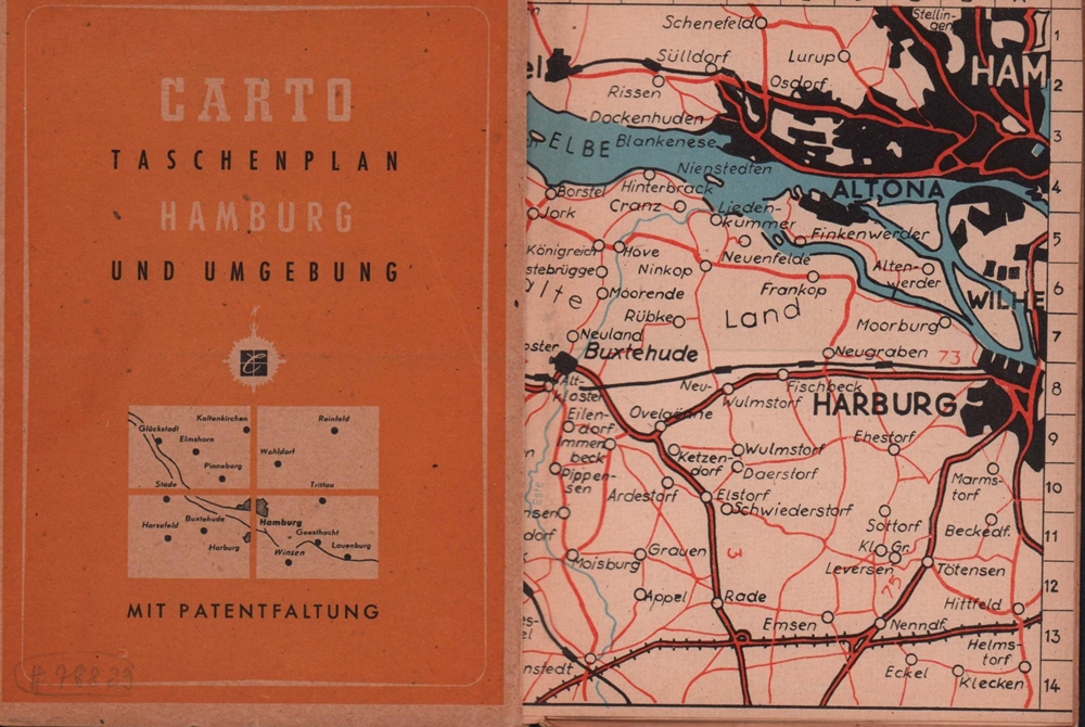
1933ref. 78829(Hamburg), Carto GmbH, 1933]. Zwei ausfaltbare dreifarbige Umgebungspläne auf Feinkarton, Maßstab 1:20.000 und ein blau-weißer Plan der Hamburger Innenstadt, Maßstab 1:12.000. 14,5 x 10,5 cm. OBrosch.
22,5 x 32 cm. Gerahmt Landkarten de
1992Includes Alderney, Guernsey, Jersey, Herm, Sark and plans of St Helier and St Peter Port, text in English, French and German. eng
18,2 x 22,3 cm. (Blatt 26 x 21 cm). *Rechter weißer Unterrand etwas fingerfleckig. Landkarten de
1987ref. 55178[Braunschweig, Archiv Verlag, 1987). 1 mehrf. gefalt. farb. Karte, Blattgröße ca. 69 x 52,5 cm.
ref. 14092Paris, J. Barreau, sans date. In-12 broché de 24 pages, couverture illustrée en couleurs (La perte de l'Ain). Tampon de l'office français du tourisme à Genève.